Standish is a city in the U.S. state of Michigan. The population was 1,458 at the 2020 census. It is the county seat of Arenac County.
| Name: | Standish city |
|---|---|
| LSAD Code: | 25 |
| LSAD Description: | city (suffix) |
| State: | Michigan |
| County: | Arenac County |
| Incorporated: | 1893 (village) 1903 (city) |
| Elevation: | 623 ft (190 m) |
| Total Area: | 2.18 sq mi (5.64 km²) |
| Land Area: | 2.18 sq mi (5.64 km²) |
| Water Area: | 0.00 sq mi (0.00 km²) |
| Total Population: | 1,458 |
| Population Density: | 669.42/sq mi (258.46/km²) |
| Area code: | 989 |
| FIPS code: | 2676120 |
| GNISfeature ID: | 638715 |
Online Interactive Map
Click on ![]() to view map in "full screen" mode.
to view map in "full screen" mode.
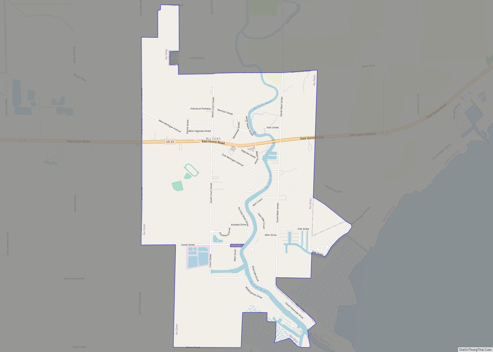
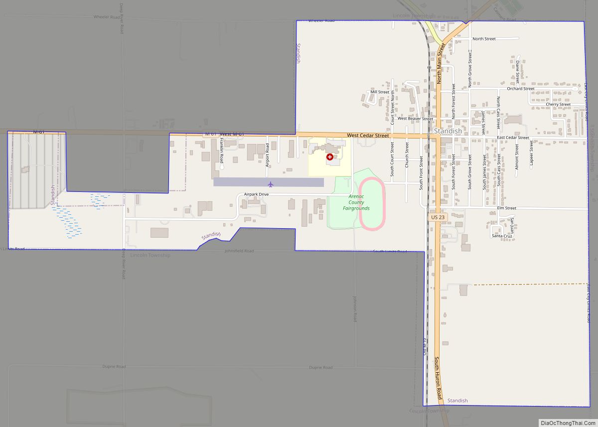
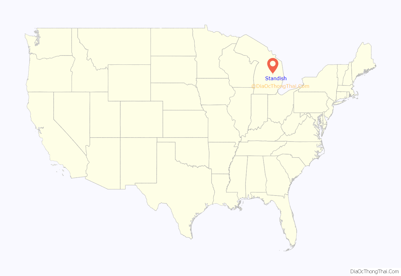
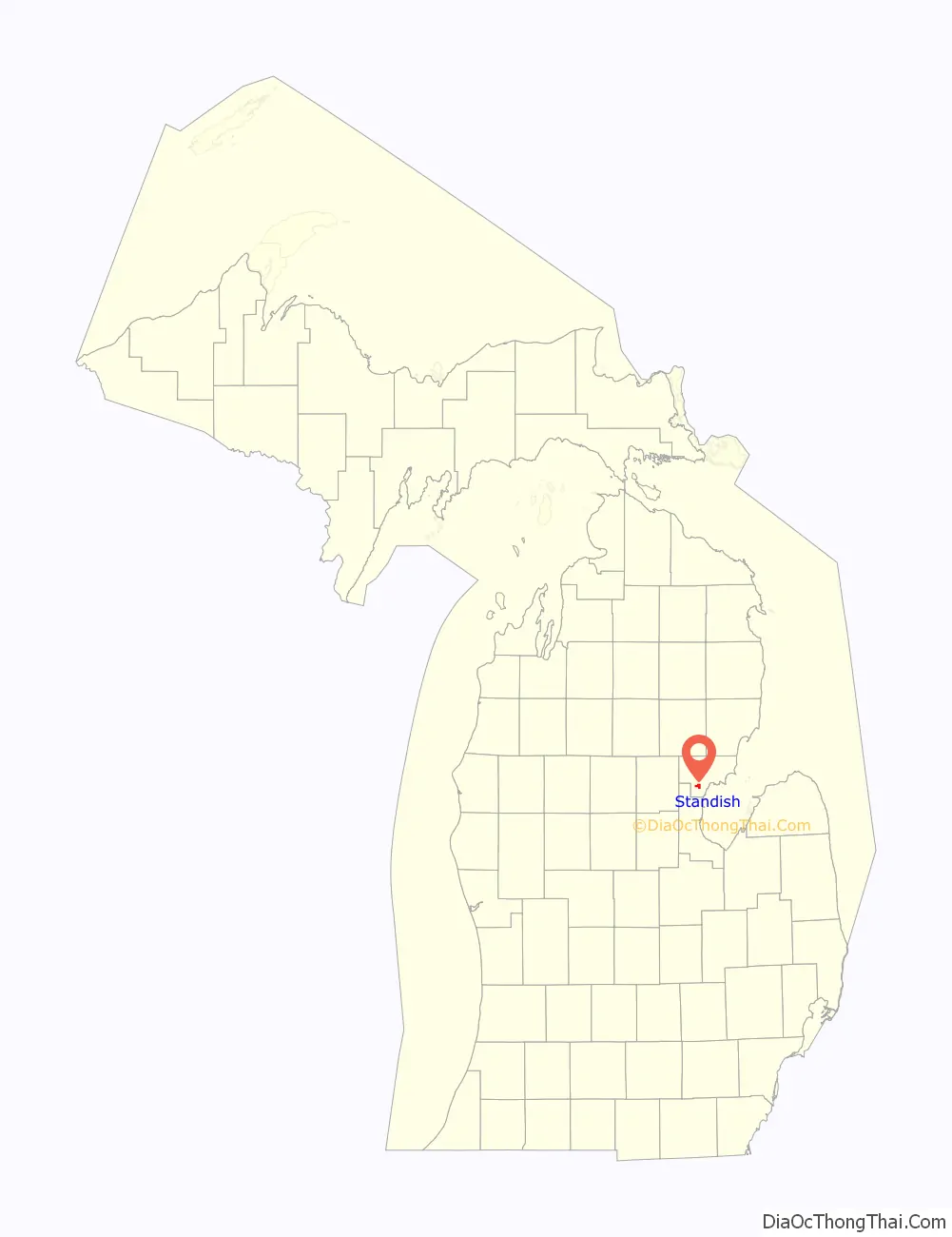
Standish location map. Where is Standish city?
History
The town was platted by John D. Standish in 1871, who owned all of the land in the vicinity. Before the plat was formally recorded, Standish sold off some of his land in the area. The town was initially named “Granton”. John Standish owned the town’s first business, a sawmill, he later had the town name changed back to Standish. Jackson and Lansing Railroad reached the community in 1871. The first hotel was built in Standish in 1871 and named The Standish House, by a sheriff of Bay County. The hotel went through several owners before it burned down in March 1902. In 1888 the railroad depot was built by local farmers in the area, each bringing their own materials to help with the construction. In 1898 the State Bank of Standish opened, (now Citizens Bank). Standish was incorporated as a village in 1893 with James Austin as its president, and later a city in 1903, with Mr. H. Randall was as its first mayor. In 1907 Standish got its first automobile dealership, a Buick dealership. By 1912 the city got its first commercial electric lighting for homes and businesses, with power being available between 7 A.M. to Midnight. By 1926 the city was receiving 24-hour electricity service supplied by the Northern Power Company. In 1918, the first gravel road between Pinconning and Standish was built, being a loose dirt road beforehand. The same year that prohibition on alcohol took effect, 1920, three illegal moonshine stills were confiscated by the sheriff, and local arrests were made. By 1938 the population of Standish was 913. The city received the deed to Woodmere Cemetery in 1940. On September 22, 1970 the charter of the city of Standish was adopted, making Standish a home-rule city.
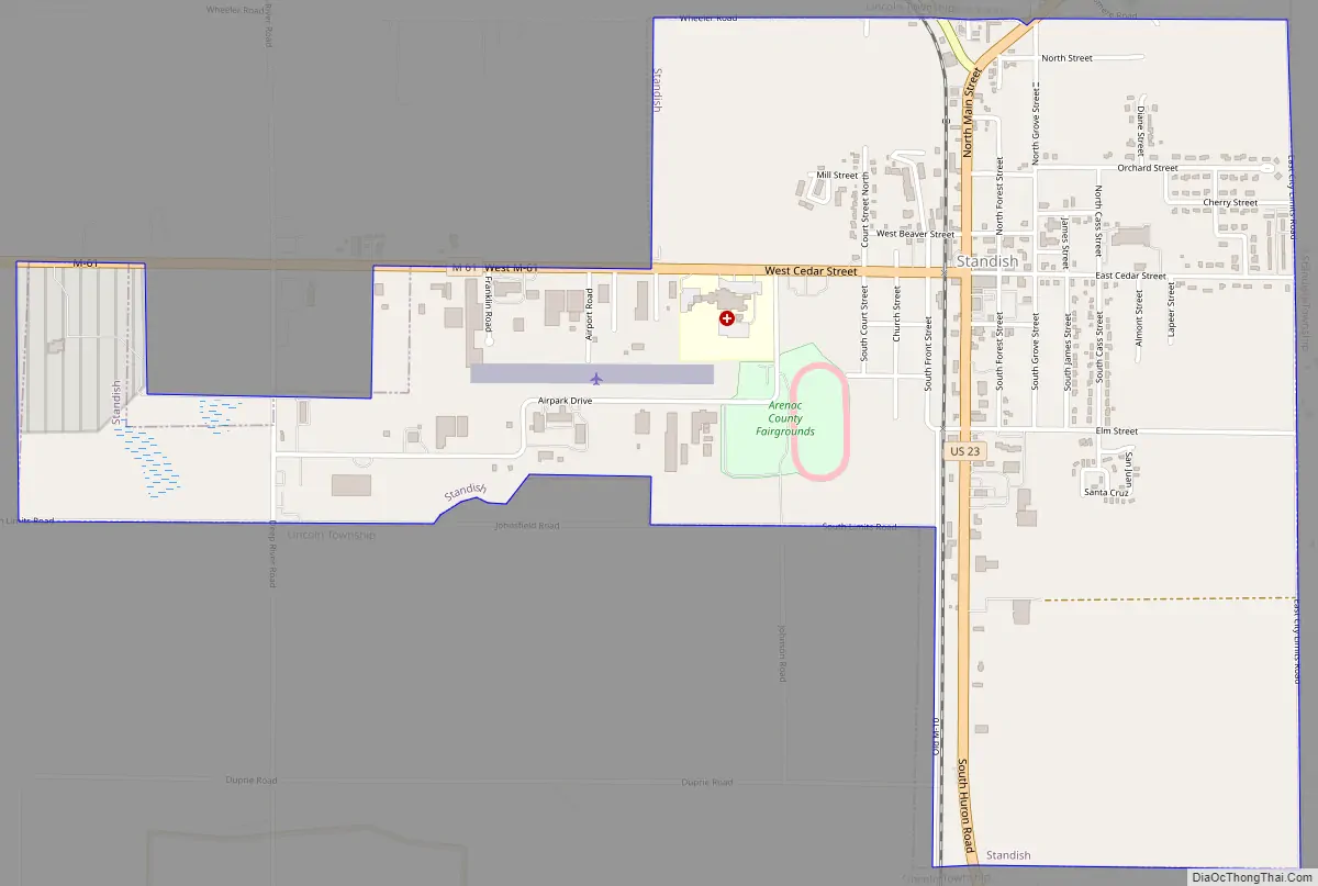
Standish Road Map
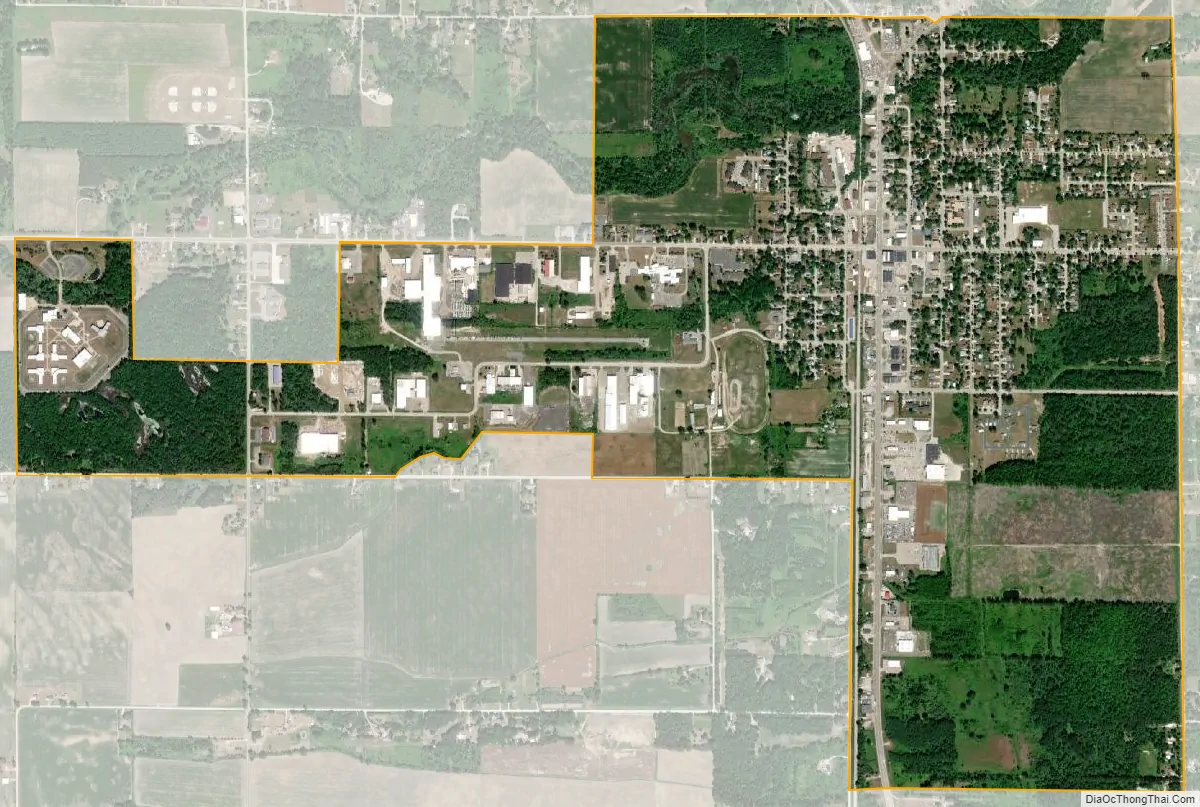
Standish city Satellite Map
Geography
According to the United States Census Bureau, the city has a total area of 2.15 square miles (5.57 km), all land.
Standish is located roughly 5.2 miles from the Saginaw Bay.
Climate
See also
Map of Michigan State and its subdivision:- Alcona
- Alger
- Allegan
- Alpena
- Antrim
- Arenac
- Baraga
- Barry
- Bay
- Benzie
- Berrien
- Branch
- Calhoun
- Cass
- Charlevoix
- Cheboygan
- Chippewa
- Clare
- Clinton
- Crawford
- Delta
- Dickinson
- Eaton
- Emmet
- Genesee
- Gladwin
- Gogebic
- Grand Traverse
- Gratiot
- Hillsdale
- Houghton
- Huron
- Ingham
- Ionia
- Iosco
- Iron
- Isabella
- Jackson
- Kalamazoo
- Kalkaska
- Kent
- Keweenaw
- Lake
- Lake Hurron
- Lake Michigan
- Lake St. Clair
- Lake Superior
- Lapeer
- Leelanau
- Lenawee
- Livingston
- Luce
- Mackinac
- Macomb
- Manistee
- Marquette
- Mason
- Mecosta
- Menominee
- Midland
- Missaukee
- Monroe
- Montcalm
- Montmorency
- Muskegon
- Newaygo
- Oakland
- Oceana
- Ogemaw
- Ontonagon
- Osceola
- Oscoda
- Otsego
- Ottawa
- Presque Isle
- Roscommon
- Saginaw
- Saint Clair
- Saint Joseph
- Sanilac
- Schoolcraft
- Shiawassee
- Tuscola
- Van Buren
- Washtenaw
- Wayne
- Wexford
- Alabama
- Alaska
- Arizona
- Arkansas
- California
- Colorado
- Connecticut
- Delaware
- District of Columbia
- Florida
- Georgia
- Hawaii
- Idaho
- Illinois
- Indiana
- Iowa
- Kansas
- Kentucky
- Louisiana
- Maine
- Maryland
- Massachusetts
- Michigan
- Minnesota
- Mississippi
- Missouri
- Montana
- Nebraska
- Nevada
- New Hampshire
- New Jersey
- New Mexico
- New York
- North Carolina
- North Dakota
- Ohio
- Oklahoma
- Oregon
- Pennsylvania
- Rhode Island
- South Carolina
- South Dakota
- Tennessee
- Texas
- Utah
- Vermont
- Virginia
- Washington
- West Virginia
- Wisconsin
- Wyoming