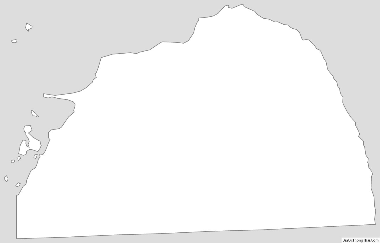
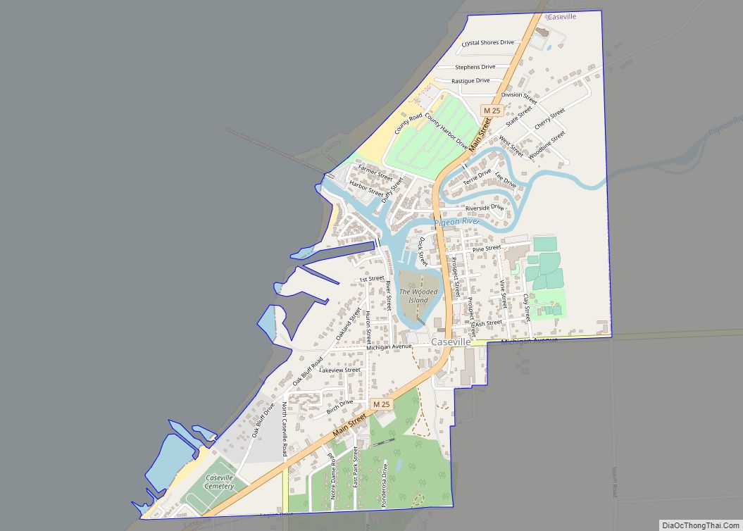
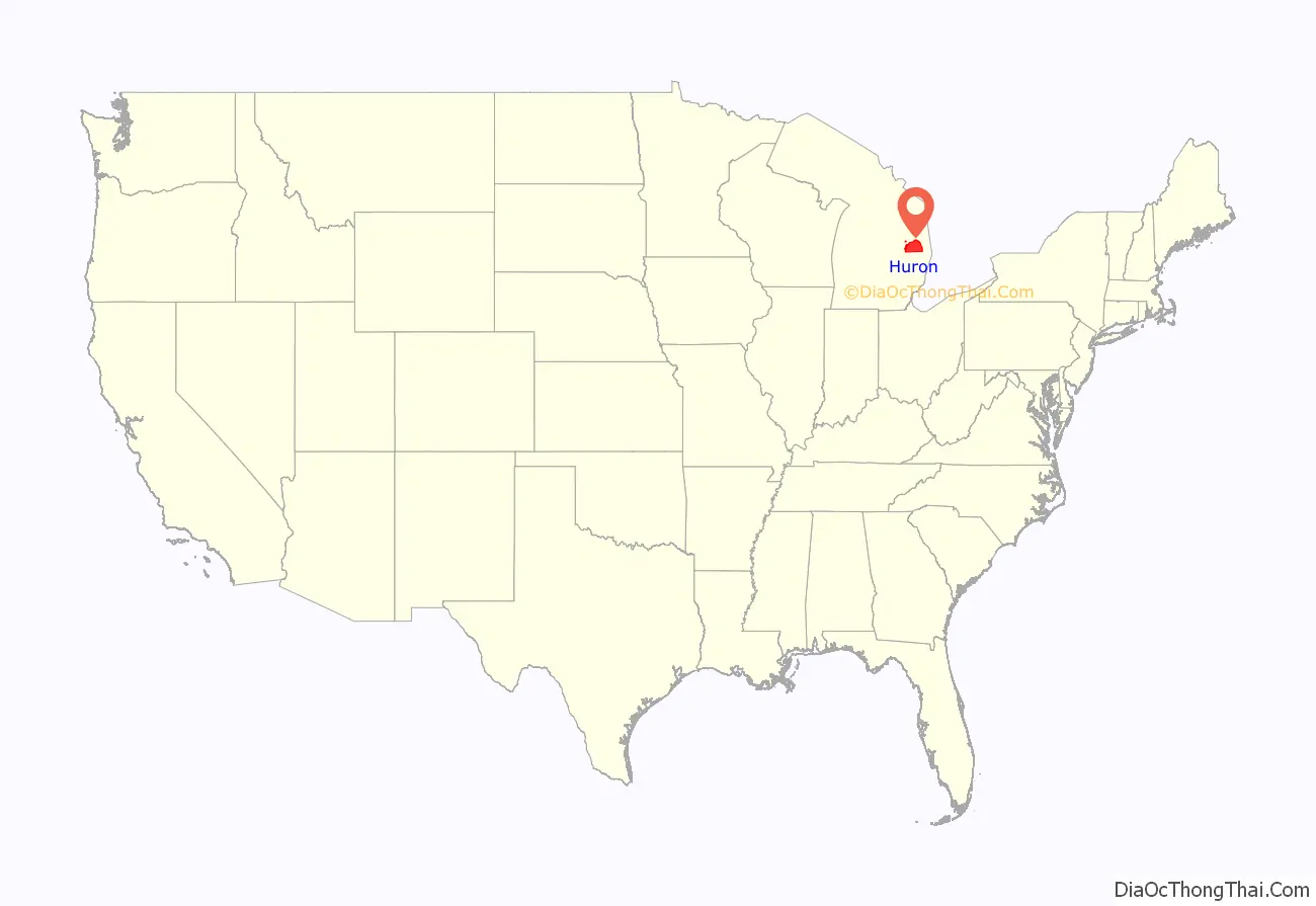
Huron County (/ˈhjʊərɒn, -ən/ HURE-on, -ən) is a county in the U.S. state of Michigan. As of the 2020 Census, the population was 31,407. The county seat is Bad Axe. Huron County is at the northern tip of the Thumb, which is a sub region of Mid Michigan. It is a peninsula, bordered by Saginaw Bay to the west and Lake Huron to the north and east, and has over 90 miles (140 km) of shoreline, from White Rock on Lake Huron to Sebewaing on the Saginaw Bay. Huron County’s most important industry is agriculture, as with most of the other Thumb counties. Huron County enjoys seasonal tourism from large cities such as Detroit, Flint, and Saginaw. A lot of the tourism is in the Port Austin and Caseville area.
| Name: | Huron County |
|---|---|
| FIPS code: | 26-063 |
| State: | Michigan |
| Founded: | 1840 |
| Named for: | Lake Huron |
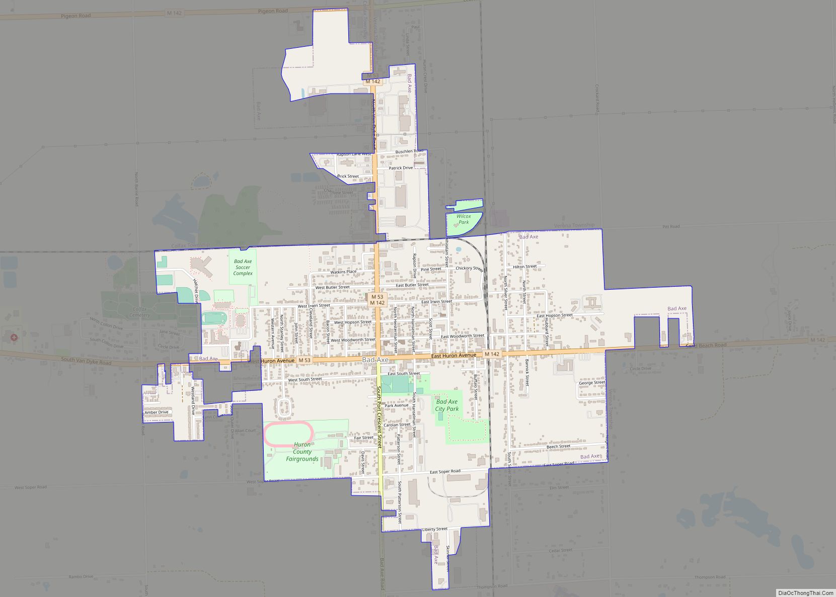
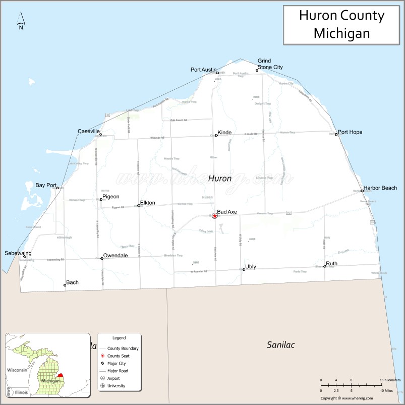
| Seat: | Bad Axe |
| Largest city: | Bad Axe |
| Total Area: | 2,137 sq mi (5,530 km²) |
| Land Area: | 836 sq mi (2,170 km²) |
| Total Population: | 31,407 |
| Population Density: | 40/sq mi (20/km²) |
| Time zone: | UTC−5 (Eastern) |
| Summer Time Zone (DST): | UTC−4 (EDT) |
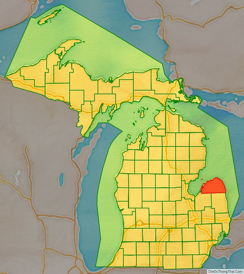
Huron County location map. Where is Huron County?
History
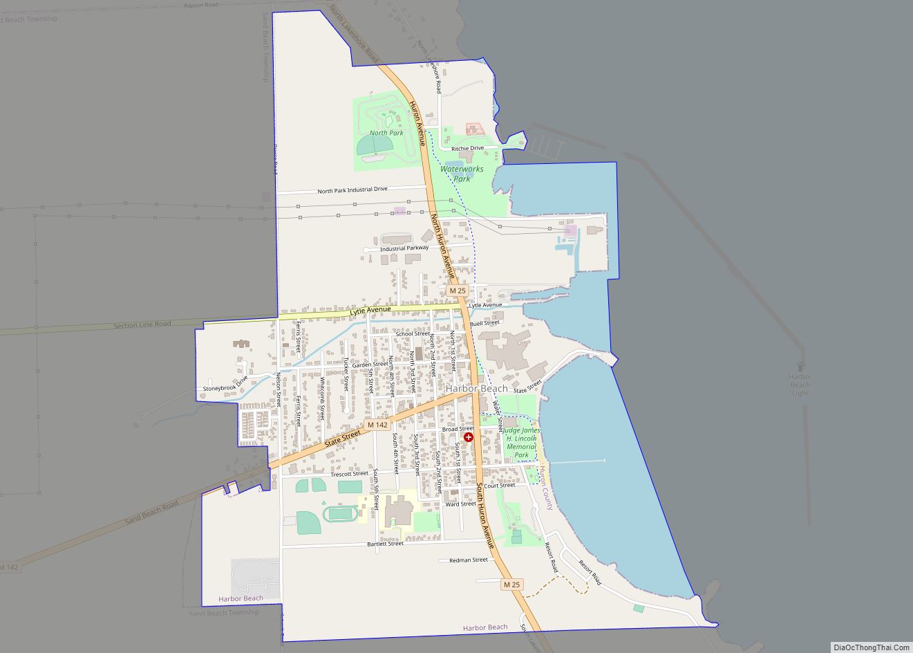
Huron County was originally attached to neighboring Sanilac and Tuscola counties. It was created by Michigan law on April 1, 1840, and was fully organized by an Act of Legislature on January 25, 1859. Sand Beach (now Harbor Beach) was the county seat until 1865, when the court house burned, destroying most of its records. The county seat was moved to Port Austin and remained there until 1873, when the county’s Board of Supervisors designated Bad Axe as the county seat.
The name Huron was derived from the word “hures” as used in the phrase “În elles hures” (what heads) as applied by an astonished French traveler to the Wyandotte (Huron) Indians on beholding their mode of dressing the hair. During 1649 and the Beaver Wars of the mid-17th century, the Iroquois from the areas of New York and Pennsylvania drove out the Wyandotte, in order to control the fur trade.
In the 17th and early 18th century in this region, the Thumb of Michigan, the Wyandotte suffix “onti” or “ondi” was used in place names such as Skenchioetontius and E. Kandechiondius. “Onti” means to “jut out”. The name Wyandotte, Huron descendants, was said to mean “dwellers of the peninsula”. A headland or peninsula in Onondaga, an Iroquoian language, is “onoentoto”.
In the early 18th century, the Thumb of Michigan was said to have the best beaver hunting in America. The Detroit region was called Tio-sahr-ondion, “where it is beaver dams athwart many”. This was near Skenchioe [now Huron and Sanilac counties].
About 1700, French maps indicated the region of Saginaw and the Thumb of Michigan as “Chasse des caster des amis de François”, “the beaver hunting grounds of the friends of Francis.”
Huron County Road Map
Geography
According to the U.S. Census Bureau, the county has a total area of 2,137 square miles (5,530 km), of which 836 square miles (2,170 km) is land and 1,301 square miles (3,370 km) (61%) is water.
Huron county is heavily agricultural. The county is generally flat, with some rolling hills.
Adjacent counties
By land
- Sanilac County (southeast)
- Tuscola County (southwest)
By water
- Arenac County (northwest)
- Iosco County (northwest)
Highways
- M-19 – runs north and south through the southern half of the county
- M-25 – runs along the outer edge of the county, along the shore of Lake Huron and Saginaw Bay
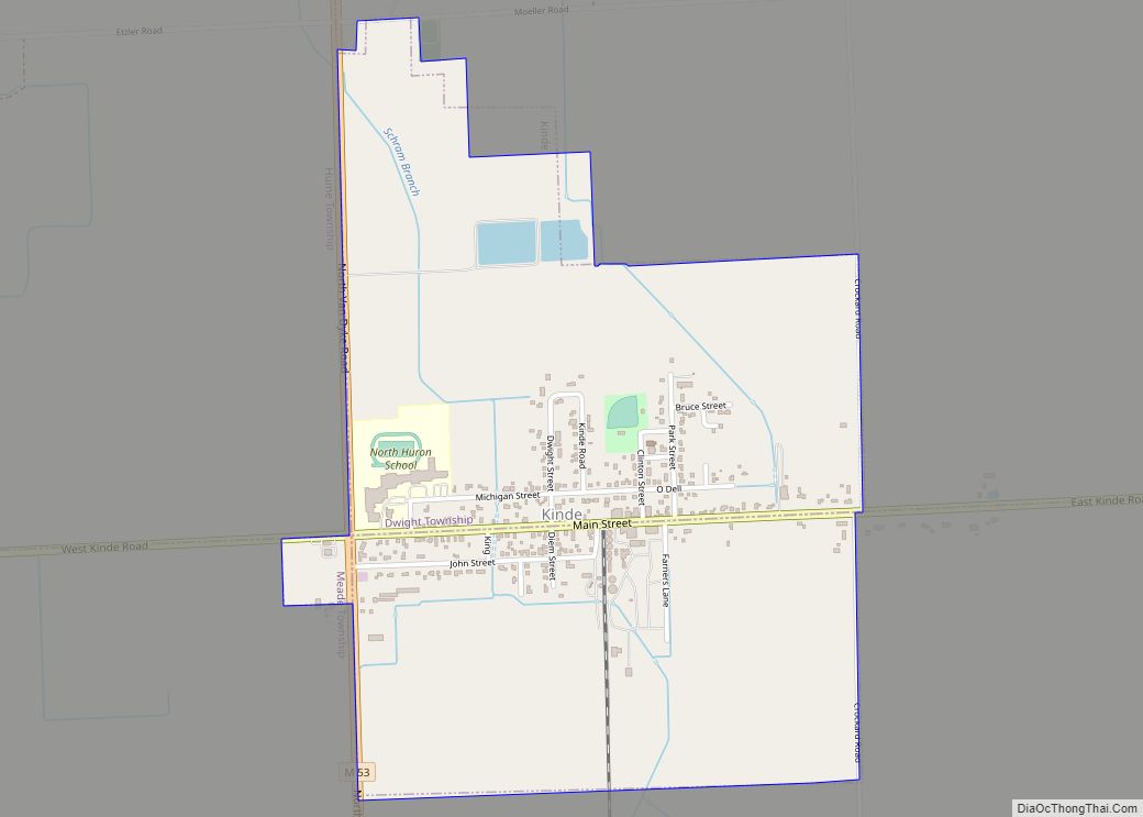
- M-53 – runs north and south through the central part of the county
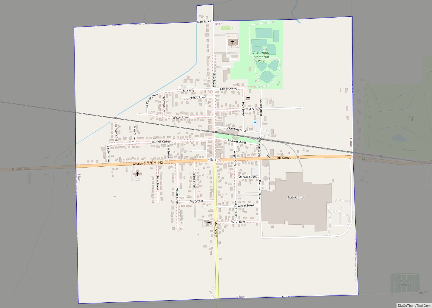
- M-142 – runs east and west through the central part of the county
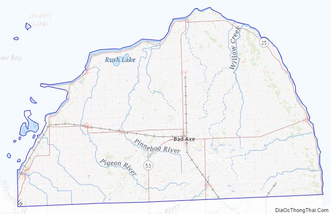
Huron County Topographic Map
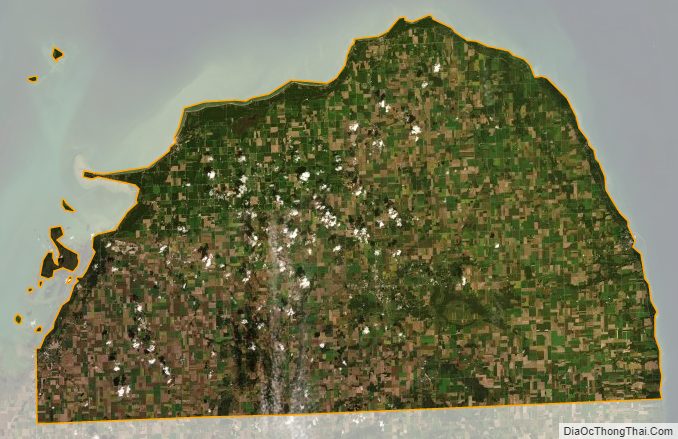
Huron County Satellite Map
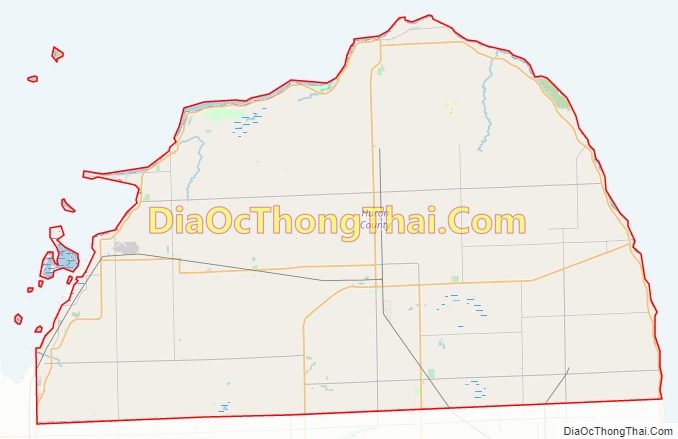
Huron County Outline Map