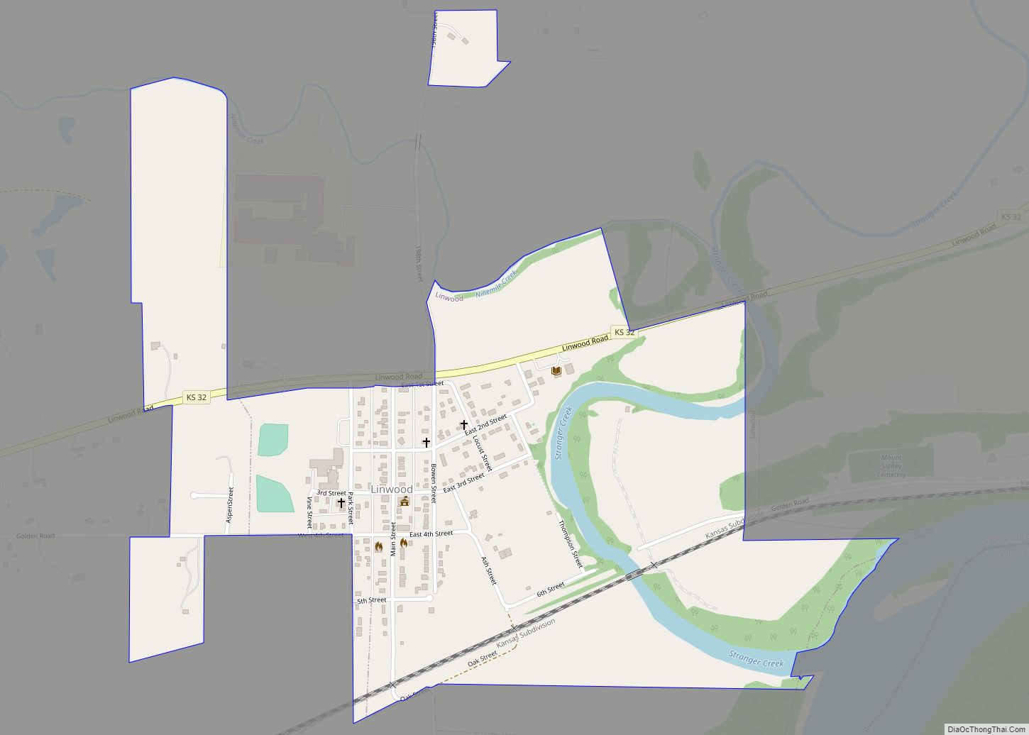
Leavenworth County (county code LV) is located in the U.S. state of Kansas and is part of the Kansas City metropolitan area. As of the 2020 census, the county population was 81,881. Its county seat and most populous city is Leavenworth.
| Name: | Leavenworth County |
|---|---|
| FIPS code: | 20-103 |
| State: | Kansas |
| Founded: | August 25, 1855 |
| Named for: | Henry Leavenworth |
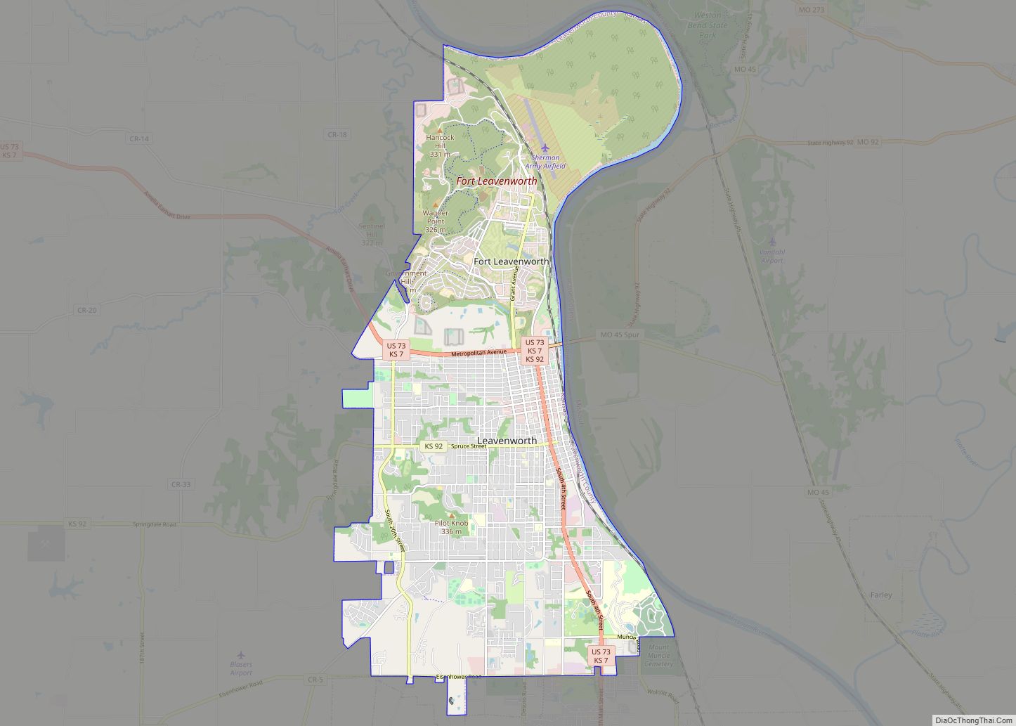
| Seat: | Leavenworth |
| Largest city: | Leavenworth |
| Total Area: | 469 sq mi (1,210 km²) |
| Land Area: | 463 sq mi (1,200 km²) |
| Total Population: | 81,881 |
| Population Density: | 176.8/sq mi (68.3/km²) |
| Time zone: | UTC−6 (Central) |
| Summer Time Zone (DST): | UTC−5 (CDT) |
| Website: | leavenworthcounty.gov |
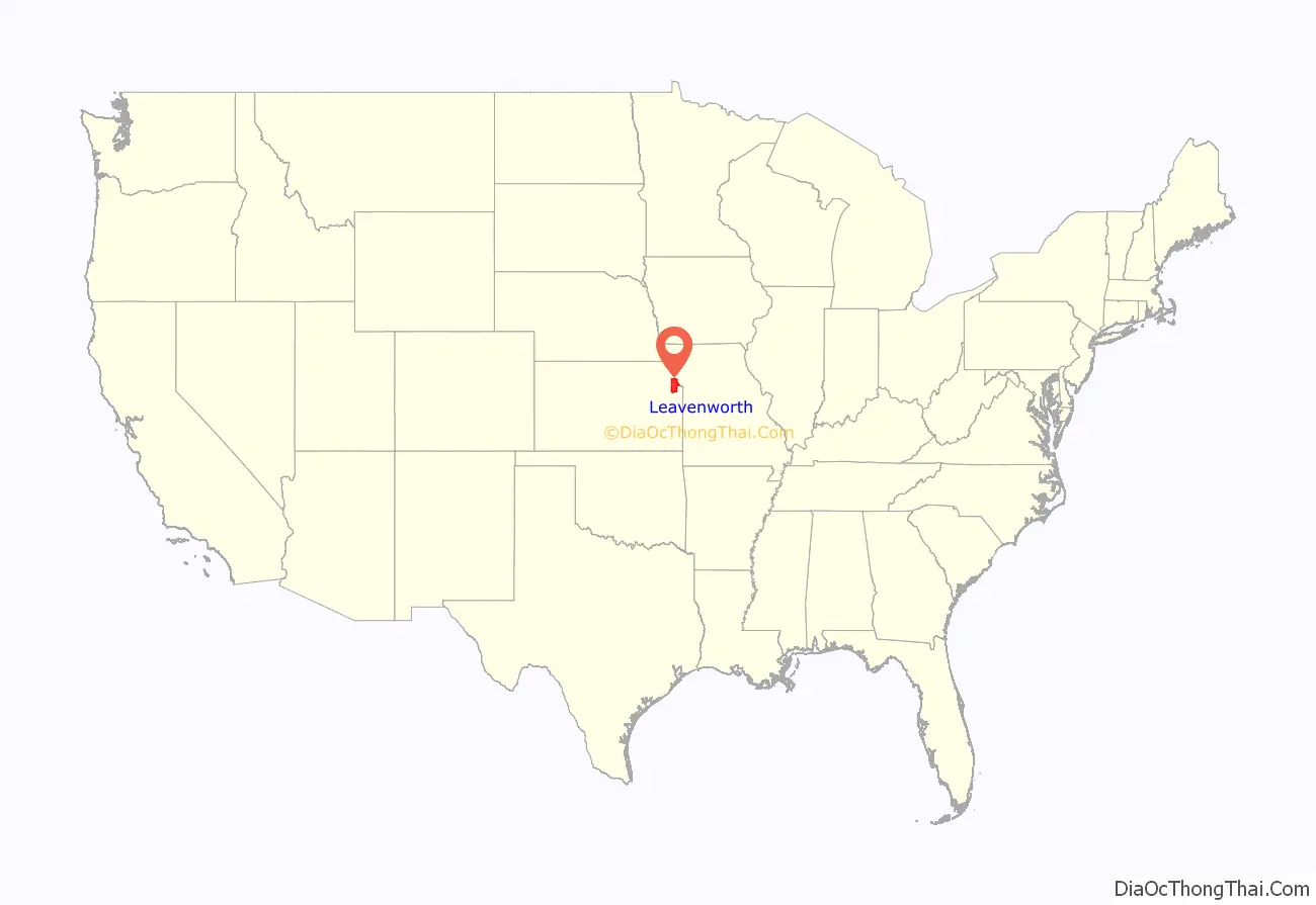
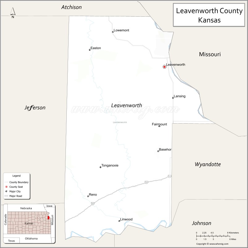
Leavenworth County location map. Where is Leavenworth County?
History
Early history
For many millennia, the Great Plains of North America was inhabited by nomadic Native Americans. From the 16th century to 18th century, the Kingdom of France claimed ownership of large parts of North America. In 1762, after the French and Indian War, France secretly ceded New France to Spain, per the Treaty of Fontainebleau.
19th century
In 1802, Spain returned most of the land to France, but keeping title to about 7,500 square miles. In 1803, most of the land for modern day Kansas was acquired by the United States from France as part of the 828,000 square mile Louisiana Purchase for 2.83 cents per acre.
In 1854, the Kansas Territory was organized, then in 1861 Kansas became the 34th U.S. state. In 1855, Leavenworth County was established, and is among the first 33 counties, which were formed by the first territorial government. It was named, as was its county seat, after Henry Leavenworth, an officer in the War of 1812.
Leavenworth County had the first Kansas State University extension agent in the State.
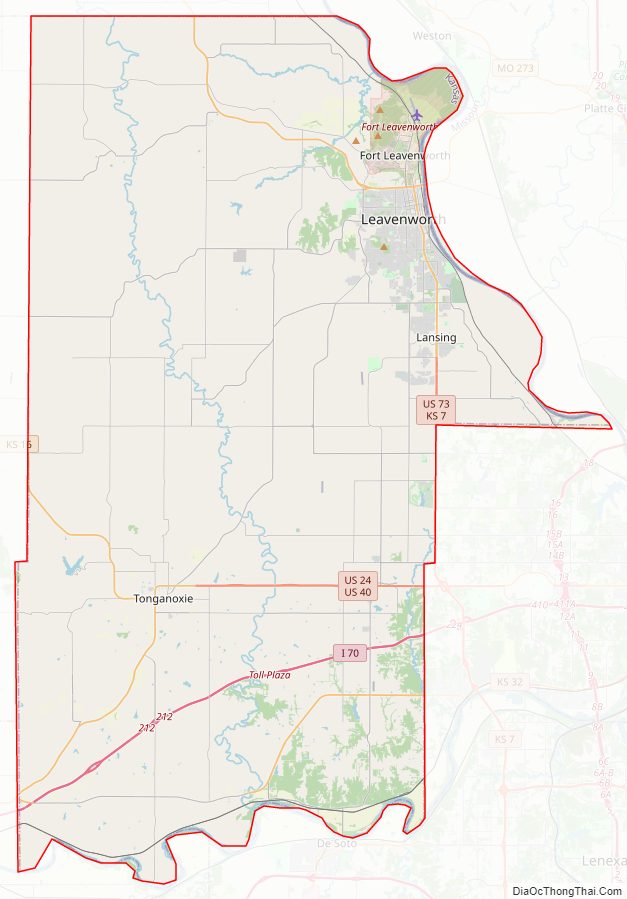
Leavenworth County Road Map
Geography
According to the United States Census Bureau, the county has a total area of 469 square miles (1,210 km), of which 463 square miles (1,200 km) is land and 6.1 square miles (16 km) (1.3%) is water. It is the fifth-smallest county in Kansas by total area.
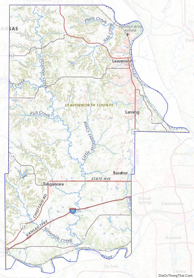
This county’s watershed connects with both the Kansas River basin on the south via Stranger Creek and has a Missouri River port city to the east.
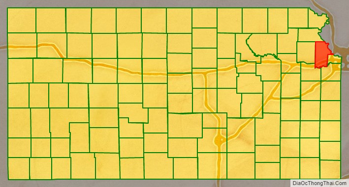
Adjacent counties
- Platte County, Missouri (north)
- Wyandotte County (east)
- Johnson County (southeast)
- Douglas County (southwest)
- Jefferson County (west)
- Atchison County (northwest)
Leavenworth County Topographic Map
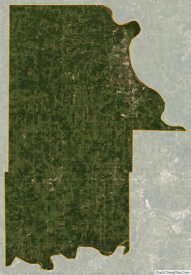
Leavenworth County Satellite Map
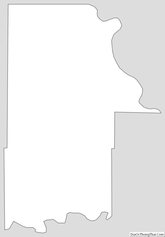
Leavenworth County Outline Map