Buchanan County is located in the U.S. state of Missouri. As of the 2020 United States Census, the population was 84,793. Its county seat is St. Joseph. When originally formed in 1838, the county was named Roberts County, after settler Hiram Roberts. It was renamed in 1839 for James Buchanan, then a U.S. Senator and later President of the United States. The county was formed from land annexed to Missouri, as were five other counties.
Buchanan County is included in the Kansas City CSA.
| Name: | Buchanan County |
|---|---|
| FIPS code: | 29-021 |
| State: | Missouri |
| Founded: | December 31, 1838 |
| Named for: | James Buchanan |
| Seat: | St. Joseph |
| Largest city: | St. Joseph |
| Total Area: | 415 sq mi (1,070 km²) |
| Land Area: | 408 sq mi (1,060 km²) |
| Total Population: | 84,793 |
| Population Density: | 200/sq mi (79/km²) |
| Time zone: | UTC−6 (Central) |
| Summer Time Zone (DST): | UTC−5 (CDT) |
| Website: | www.co.buchanan.mo.us |
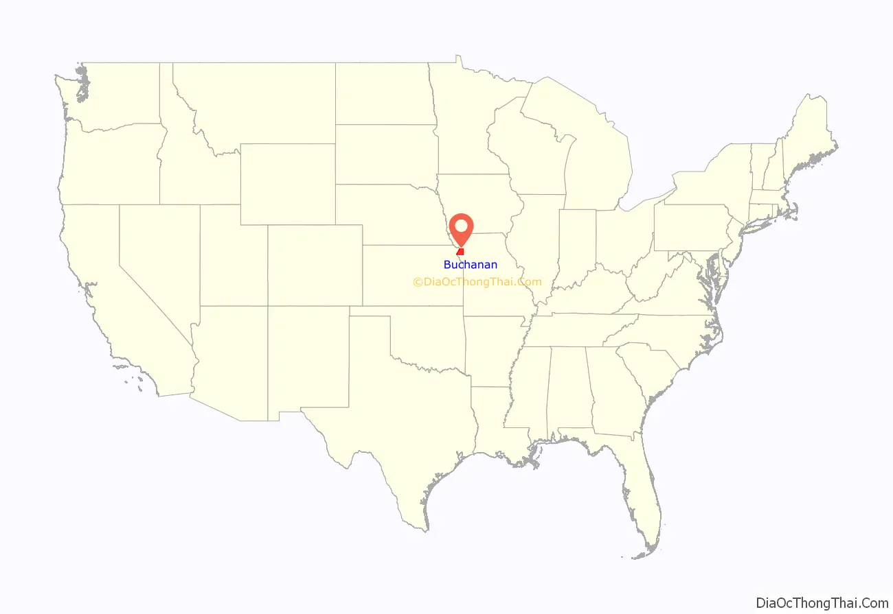
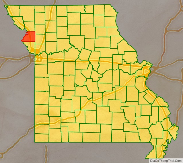
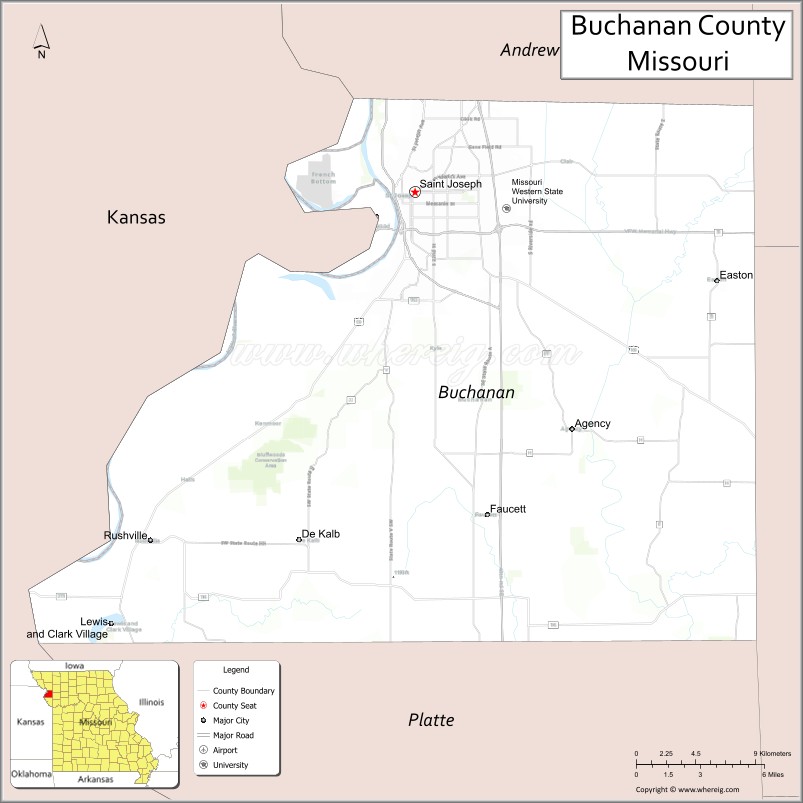
Buchanan County location map. Where is Buchanan County?
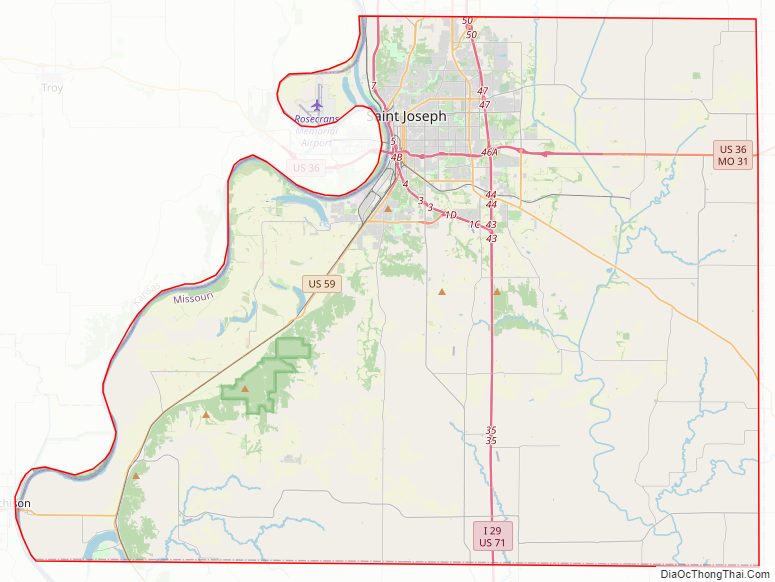
Buchanan County Road Map
Geography
According to the U.S. Census Bureau, the county has a total area of 415 square miles (1,070 km), of which 408 square miles (1,060 km) is land and 6.6 square miles (17 km) (1.6%) is water.
Adjacent counties
- Andrew County (north)
- DeKalb County (northeast)
- Clinton County (east)
- Platte County (south)
- Atchison County, Kansas (southwest)
- Doniphan County, Kansas (northwest)
Major highways
- Interstate 29
- Interstate 229
- U.S. Route 36
- U.S. Route 59
- U.S. Route 71
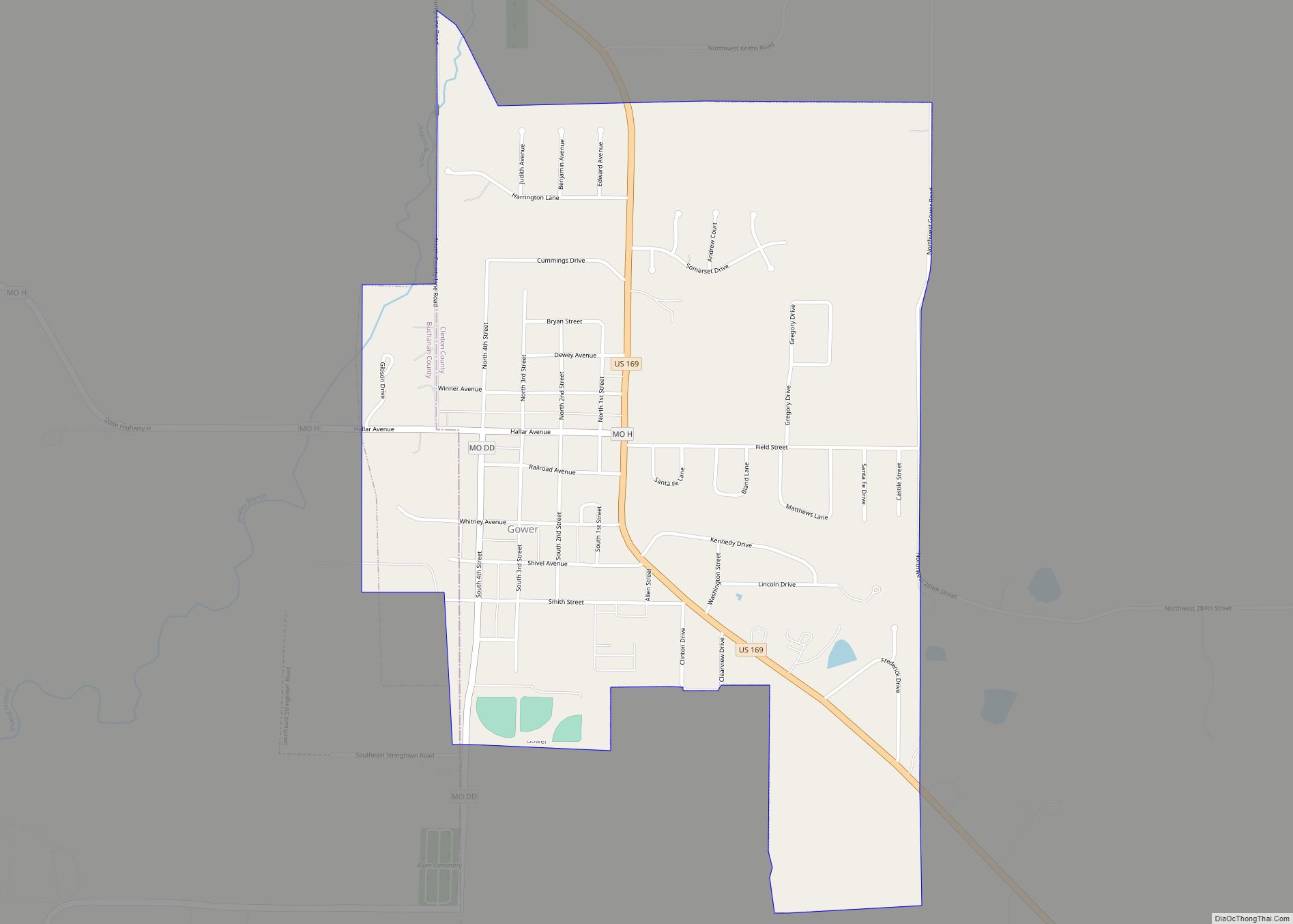
- U.S. Route 169
- Route 6
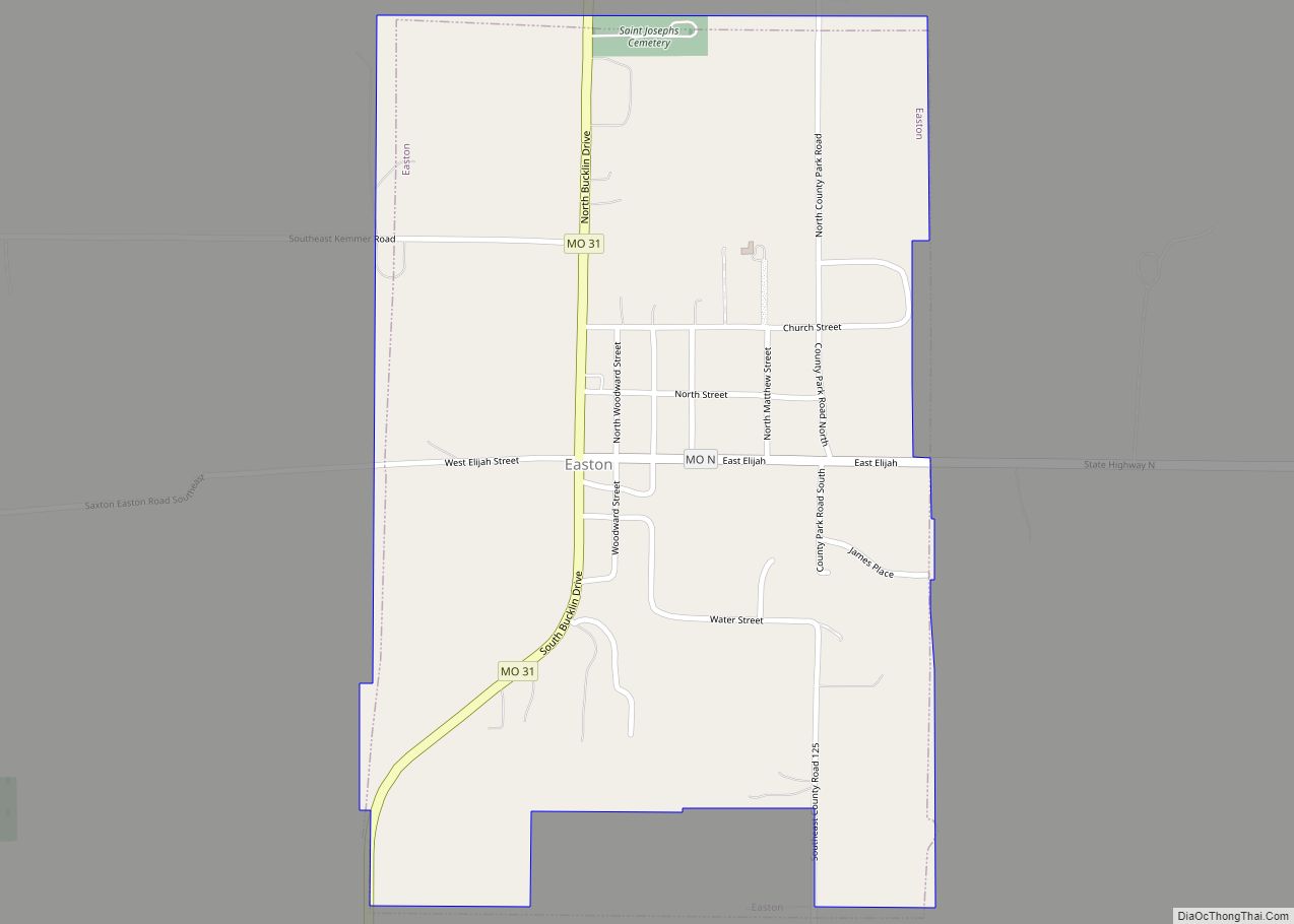
- Route 31
- Route 116
- Route 371
Buchanan County Topographic Map
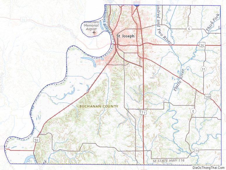
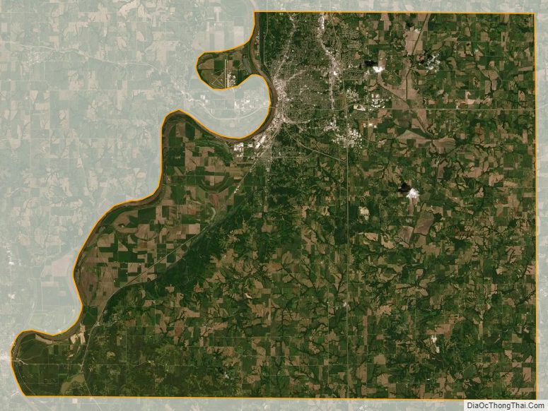
Buchanan County Satellite Map
Buchanan County Outline Map