Centralia is a city in Boone County in the U.S. state of Missouri. The population was 4,541 at the 2020 census, with an estimated population of 4,244 in 2018. A very small portion of the city lies in Audrain County.
The Boone County portion of Centralia (which forms the majority of the city) is part of the Columbia Metropolitan Statistical Area, while a small part in Audrain County is part of the Mexico Micropolitan Statistical Area.
| Name: | Centralia city |
|---|---|
| LSAD Code: | 25 |
| LSAD Description: | city (suffix) |
| State: | Missouri |
| County: | Audrain County, Boone County |
| Elevation: | 879 ft (268 m) |
| Total Area: | 2.90 sq mi (7.50 km²) |
| Land Area: | 2.90 sq mi (7.50 km²) |
| Water Area: | 0.00 sq mi (0.00 km²) |
| Total Population: | 4,541 |
| Population Density: | 1,568.02/sq mi (605.33/km²) |
| ZIP code: | 65240 |
| Area code: | 573 |
| FIPS code: | 2912898 |
| GNISfeature ID: | 2393789 |
| Website: | www.centraliamo.org |
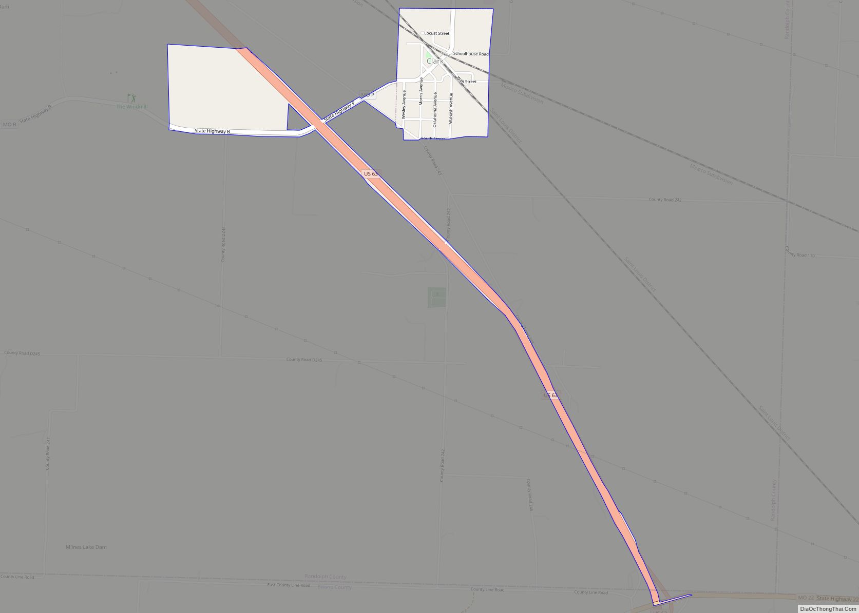
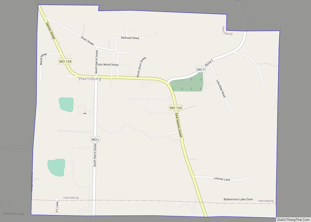
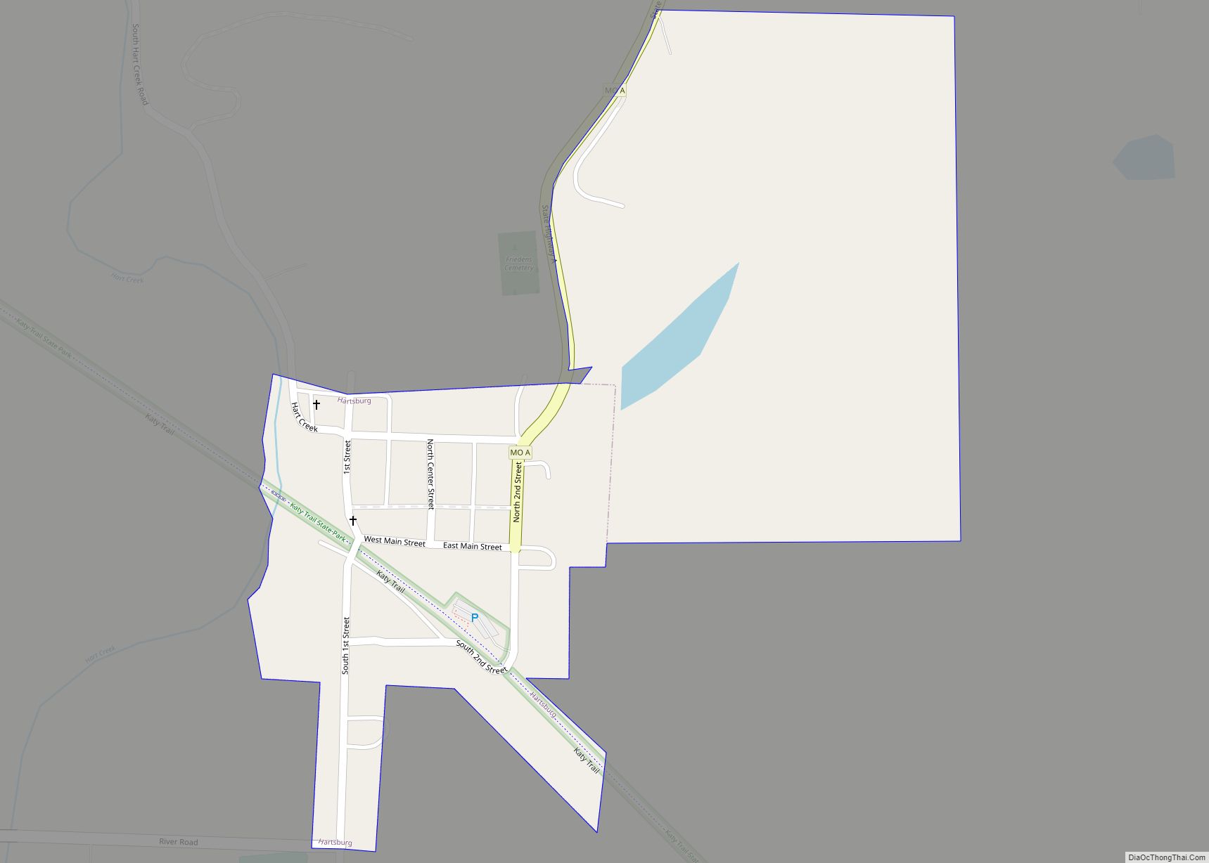
Online Interactive Map
Click on ![]() to view map in "full screen" mode.
to view map in "full screen" mode.
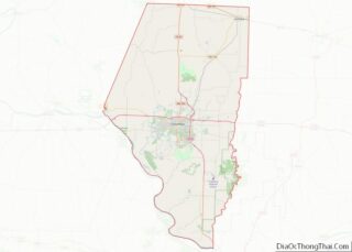
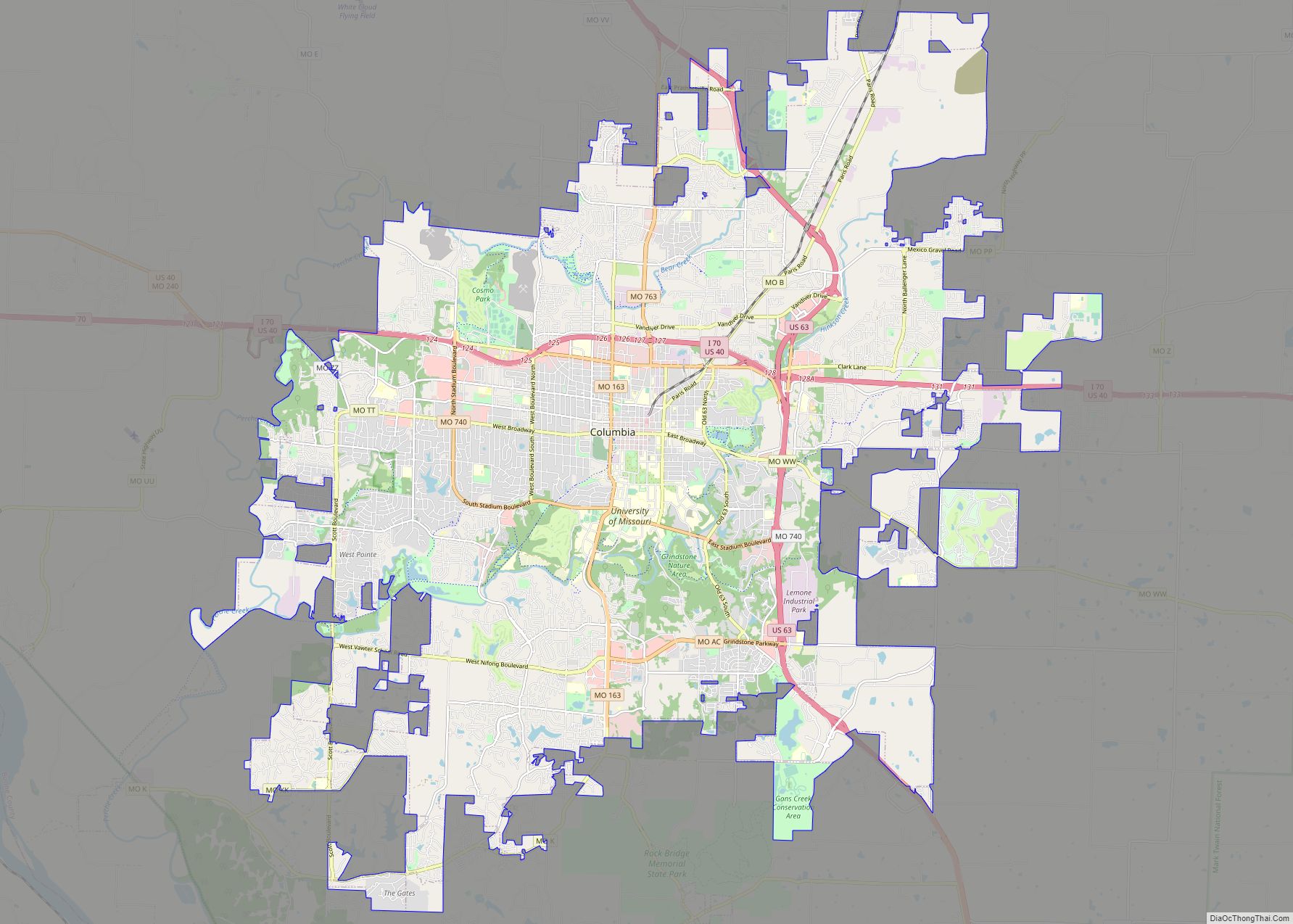
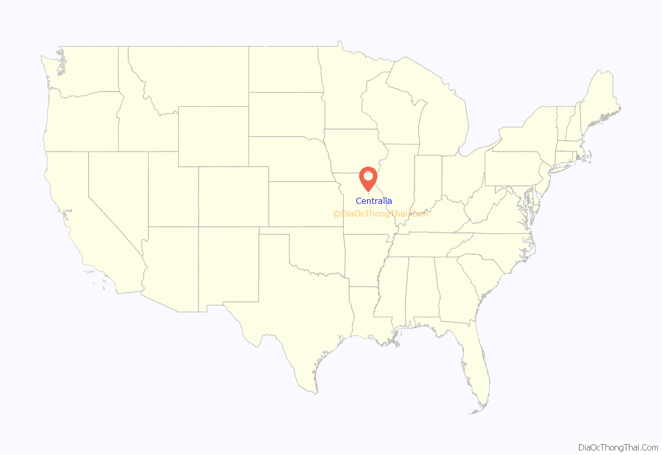
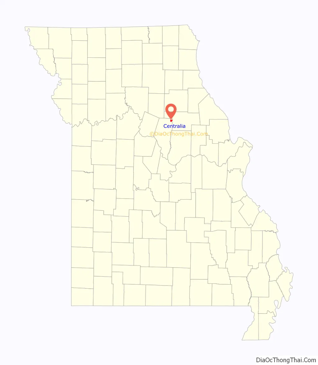
Centralia location map. Where is Centralia city?
History
City origin
Centralia was laid out in 1857 and was named after its central location on the North Missouri Railroad from St. Louis to Ottumwa, Iowa, and from the fact that it was located near the center of a vast prairie between Mexico and Huntsville, and between Columbia and Paris.
Civil War
On September 27, 1864, 22 unarmed Union soldiers returning home on leave were pulled from a train in Centralia and executed by Confederate bushwhackers under William T. “Bloody Bill” Anderson. A Union force pursuing the guerrillas was ambushed, and about 150 were killed. The incident came to be known as the Centralia Massacre.
The A.B. Chance Company
The A.B. Chance Company was founded in 1907 by Albert Bishop Chance. He invented the first practical earth anchor. The company played a vital role in the growth of Centralia. Over the course of nearly 120 years, Chance has delivered pole line hardware, switches, cutouts and fuse links in addition to anchors, foundations, hot line tools, fiberglass and rubber products to the world-wide electricity transmission and distribution industry. Acquired by Hubbell in 1994, the Chance brand is manufactured in Centralia, Missouri.
The company still plays a major role in Centralia’s economy with employing 860 people.
Registered Historic Places
The following Centralia locations have been listed on the National Register of Historic Places:
- Albert Bishop Chance House and Gardens
- Chatol
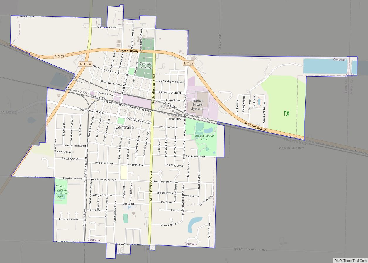
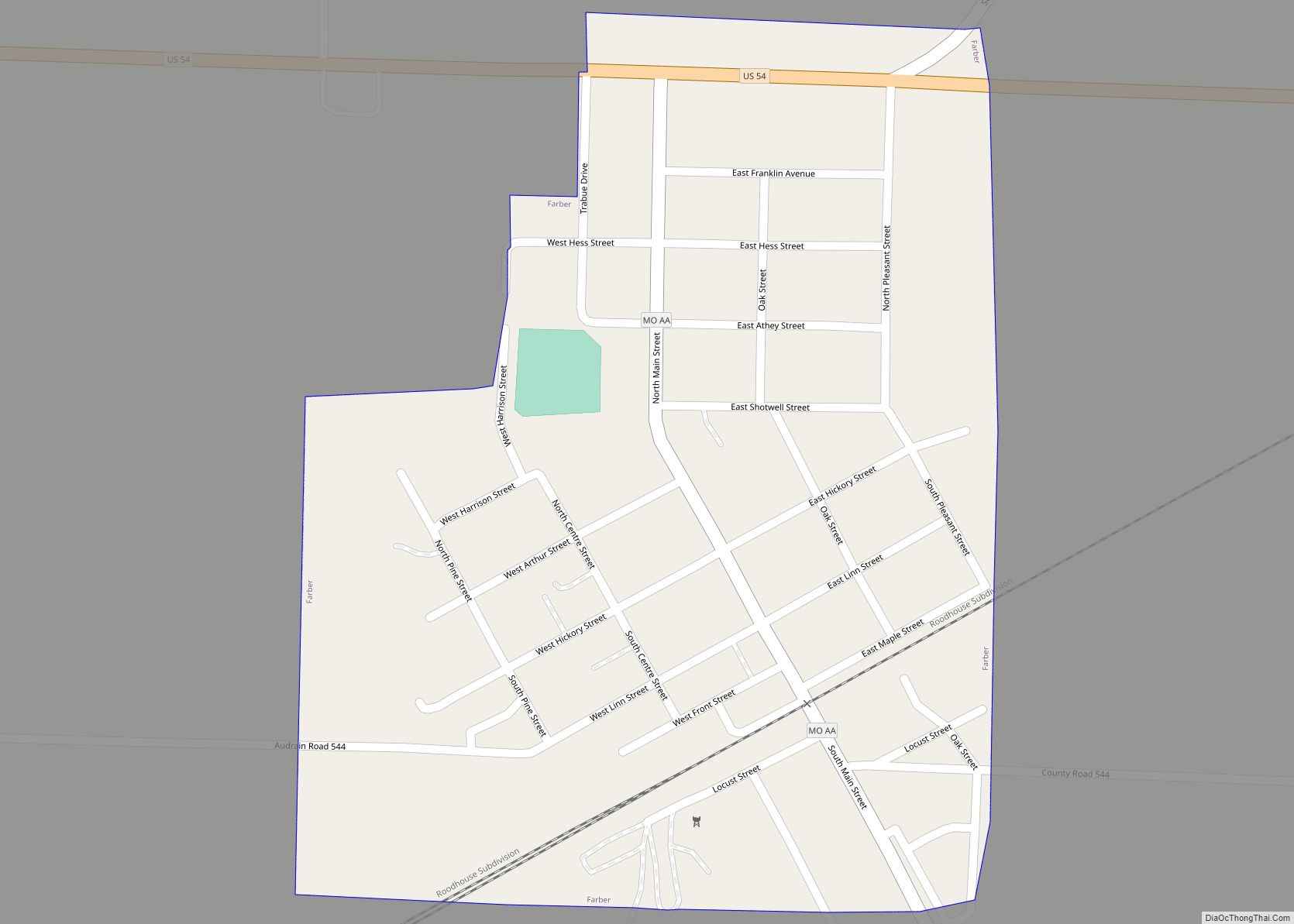
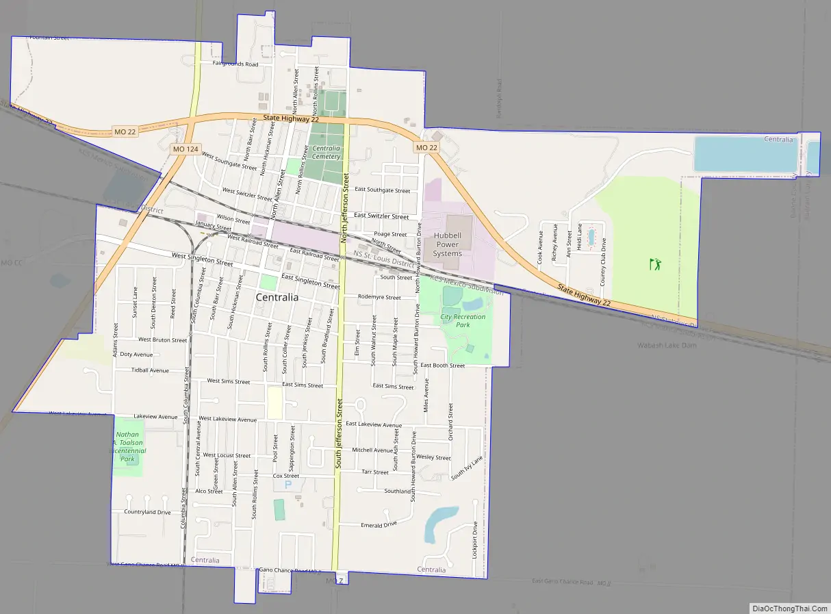
Centralia Road Map
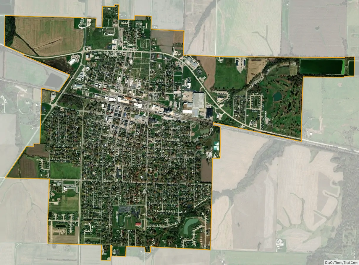
Centralia city Satellite Map
Geography
According to the United States Census Bureau, the city has a total area of 2.84 square miles (7.36 km), all land.
See also
Map of Missouri State and its subdivision:- Adair
- Andrew
- Atchison
- Audrain
- Barry
- Barton
- Bates
- Benton
- Bollinger
- Boone
- Buchanan
- Butler
- Caldwell
- Callaway
- Camden
- Cape Girardeau
- Carroll
- Carter
- Cass
- Cedar
- Chariton
- Christian
- Clark
- Clay
- Clinton
- Cole
- Cooper
- Crawford
- Dade
- Dallas
- Daviess
- De Kalb
- Dent
- Douglas
- Dunklin
- Franklin
- Gasconade
- Gentry
- Greene
- Grundy
- Harrison
- Henry
- Hickory
- Holt
- Howard
- Howell
- Iron
- Jackson
- Jasper
- Jefferson
- Johnson
- Knox
- Laclede
- Lafayette
- Lawrence
- Lewis
- Lincoln
- Linn
- Livingston
- Macon
- Madison
- Maries
- Marion
- McDonald
- Mercer
- Miller
- Mississippi
- Moniteau
- Monroe
- Montgomery
- Morgan
- New Madrid
- Newton
- Nodaway
- Oregon
- Osage
- Ozark
- Pemiscot
- Perry
- Pettis
- Phelps
- Pike
- Platte
- Polk
- Pulaski
- Putnam
- Ralls
- Randolph
- Ray
- Reynolds
- Ripley
- Saint Charles
- Saint Clair
- Saint Francois
- Saint Louis
- Sainte Genevieve
- Saline
- Schuyler
- Scotland
- Scott
- Shannon
- Shelby
- Stoddard
- Stone
- Sullivan
- Taney
- Texas
- Vernon
- Warren
- Washington
- Wayne
- Webster
- Worth
- Wright
- Alabama
- Alaska
- Arizona
- Arkansas
- California
- Colorado
- Connecticut
- Delaware
- District of Columbia
- Florida
- Georgia
- Hawaii
- Idaho
- Illinois
- Indiana
- Iowa
- Kansas
- Kentucky
- Louisiana
- Maine
- Maryland
- Massachusetts
- Michigan
- Minnesota
- Mississippi
- Missouri
- Montana
- Nebraska
- Nevada
- New Hampshire
- New Jersey
- New Mexico
- New York
- North Carolina
- North Dakota
- Ohio
- Oklahoma
- Oregon
- Pennsylvania
- Rhode Island
- South Carolina
- South Dakota
- Tennessee
- Texas
- Utah
- Vermont
- Virginia
- Washington
- West Virginia
- Wisconsin
- Wyoming