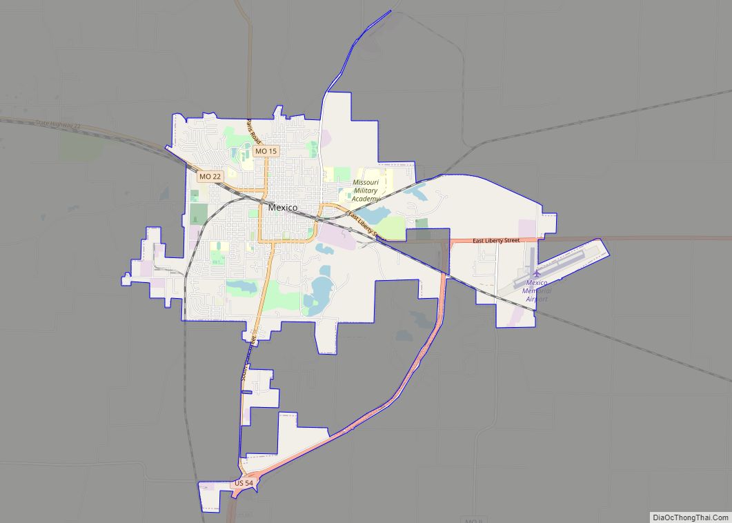
Mexico, formerly known as New Mexico, is a city in and the county seat of Audrain County, Missouri. It is home to the Missouri Military Academy and annually hosts the Miss Missouri Pageant. The city’s population was 11,469 at the 2020 census. The micropolitan statistical area consists of Audrain County. It is a part of the Columbia, Missouri metropolitan area.
| Name: | Mexico city |
|---|---|
| LSAD Code: | 25 |
| LSAD Description: | city (suffix) |
| State: | Missouri |
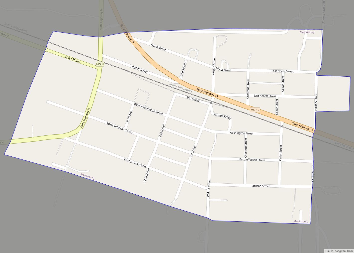
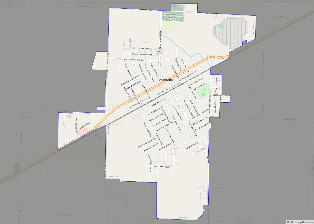
| County: | Audrain County |
| Incorporated: | March 5, 1855 |
| Elevation: | 761 ft (232 m) |
| Total Area: | 12.50 sq mi (32.38 km²) |
| Land Area: | 12.13 sq mi (31.43 km²) |
| Water Area: | 0.37 sq mi (0.95 km²) |
| Total Population: | 11,469 |
| Population Density: | 945.27/sq mi (364.96/km²) |
| ZIP code: | 65265 |
| Area code: | 573 |
| FIPS code: | 2947648 |
| GNISfeature ID: | 2395107 |
| Website: | mexicomissouri.net |
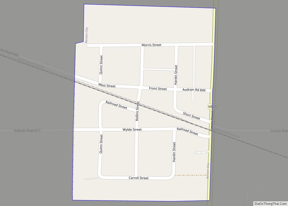
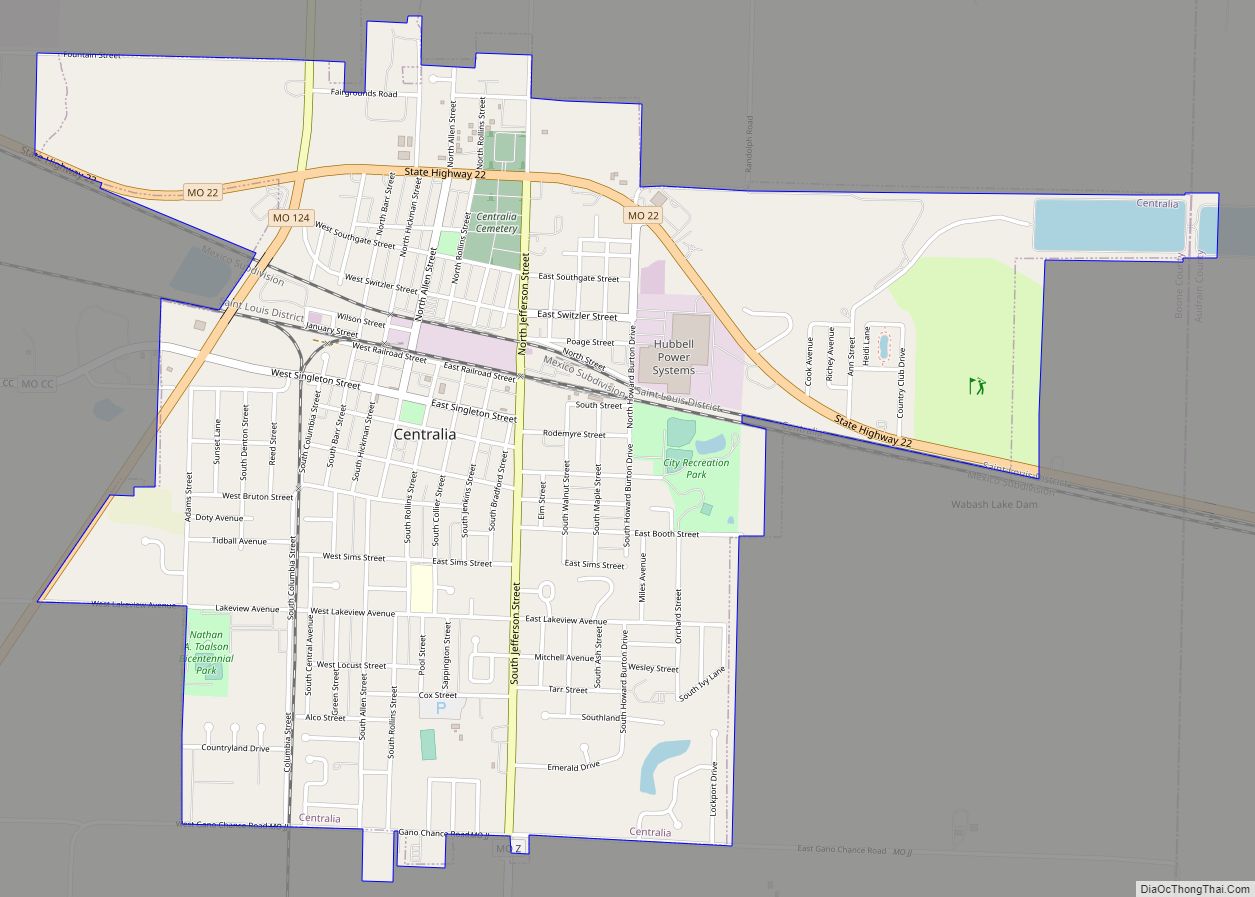
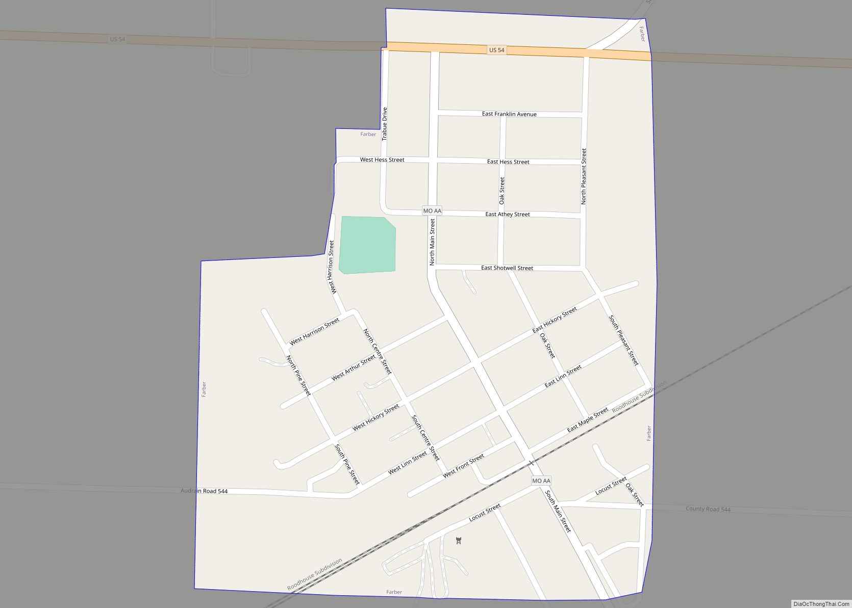
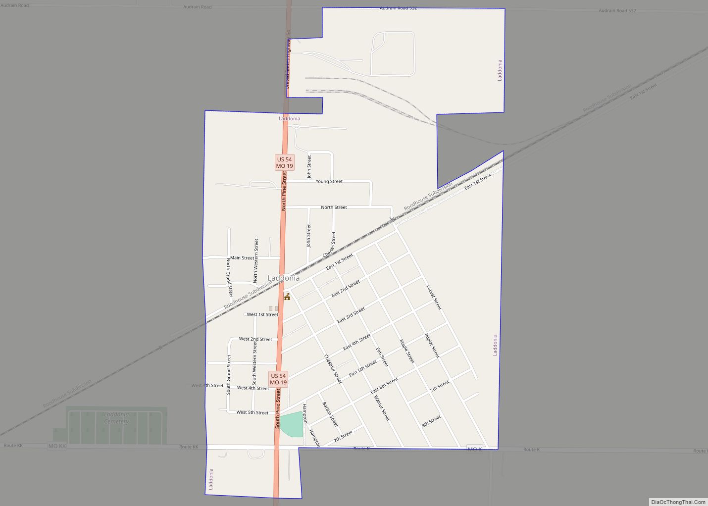
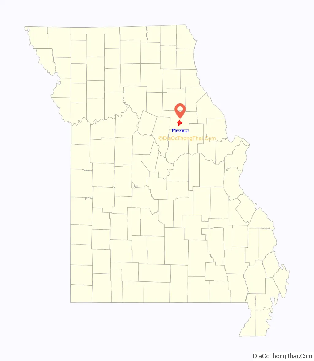
Online Interactive Map
Click on ![]() to view map in "full screen" mode.
to view map in "full screen" mode.
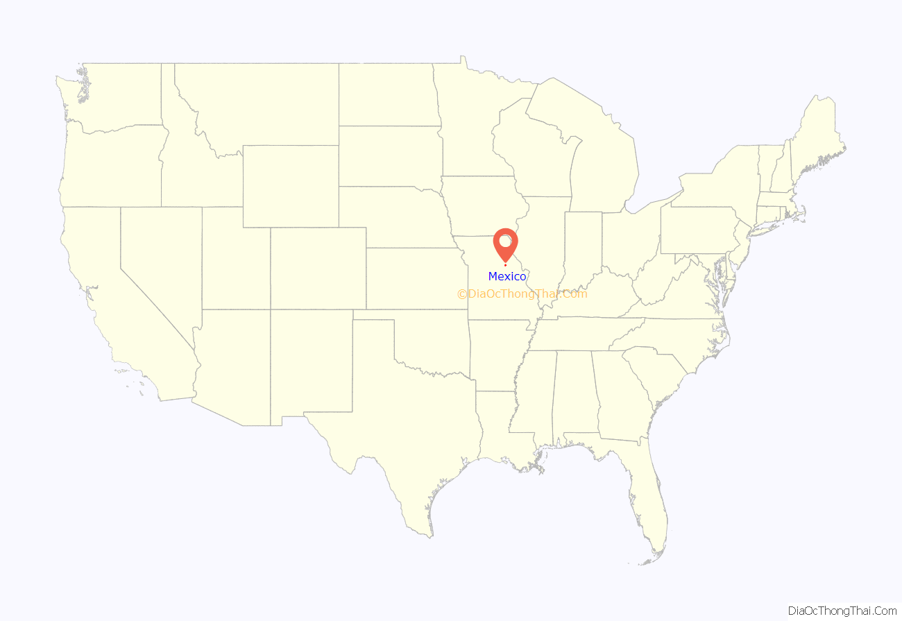
Mexico location map. Where is Mexico city?
History
Mexico was laid out as “New Mexico” in 1836 and was a major stop for settlers heading to the Republic of Texas (thus the name “New Mexico”), and it became the county seat under its present name in 1837. The word “New” was dropped after the Mexican War that saw Texas become a part of the United States.
There is an apocryphal story about the name. When a University of Missouri student, who was questioned on radio, was unable to give an account of her hometown’s name, the question was put to L. Mitchell White, then editor and publisher of the Mexico Ledger: “‘The first settlers found a wooden sign along the trail. It pointed southwest, and on it had been painted Mexico.'” To avoid unnecessary labor, the sign was left in place. “It was easier to call their town ‘Mexico’ than to take down the old sign.”
Mexico was incorporated as a town in 1855, was served by the Wabash Railroad in 1858 and by the Alton Railroad in 1872, and was first chartered as a city in 1874. The city is in the bluegrass region of Missouri, and was a shipping point for horses and mules. Mexico was a onetime major source for the nation’s fire brick production, so much so that it adopted the moniker “Fire Brick Capital of the World”. Bricks produced in Mexico were used in the construction of the NASA rocket launch site in Cape Canaveral. The industry fell on hard times and both major refractory plants in the area closed in 2002. There is no active quarrying for clay used in fire brick or refractories production in the area.
Mexico is located in the central region of Missouri known as “Little Dixie,” so named because of the settlement of the region by whites from border south states, intent on reproducing the ways and means of the Deep South. Over half of the enslaved population of Missouri was concentrated in Little Dixie counties, and was the epicenter to much of Missouri’s racist violence in the 19th and 20th centuries. Mexico competed with other MO cities for the title, “Capital of Little Dixie.”
The historic downtown square, with the typical courthouse as the focal point, is surrounded by dozens of multi-story brick buildings—some dating to the founding of the community. There are, of course, other historic spots including Simmons Stables and Graceland. In the late 1970s, Mexico began ripping up crumbling sidewalks of the downtown square and installing red paver bricks accented with turn-of-the-century lamp posts and park benches. In the 1980s, Mexico was one of six nationwide finalists for Saturn’s new U.S. auto plant. It lost to Spring Hill, Tennessee because Mexico was not served by a four-lane freeway. So as not to lose future development, Mexico officials quickly lobbied state and federal officials to secure funding for a new four-lane divided highway (U.S. Route 54) which now serves the community from Interstate 70. Formerly known as the “Saddle Horse Capital of the World,” Mexico still hosts Hollywood celebrities and other visitors from around the world who come to purchase riding horses. The Simmons Stables, currently being revitalized, are now listed on the National Register of Historic Places.
The Audrain County Courthouse, Ross House, and Arthur Simmons Stables Historic District are listed on the National Register of Historic Places.
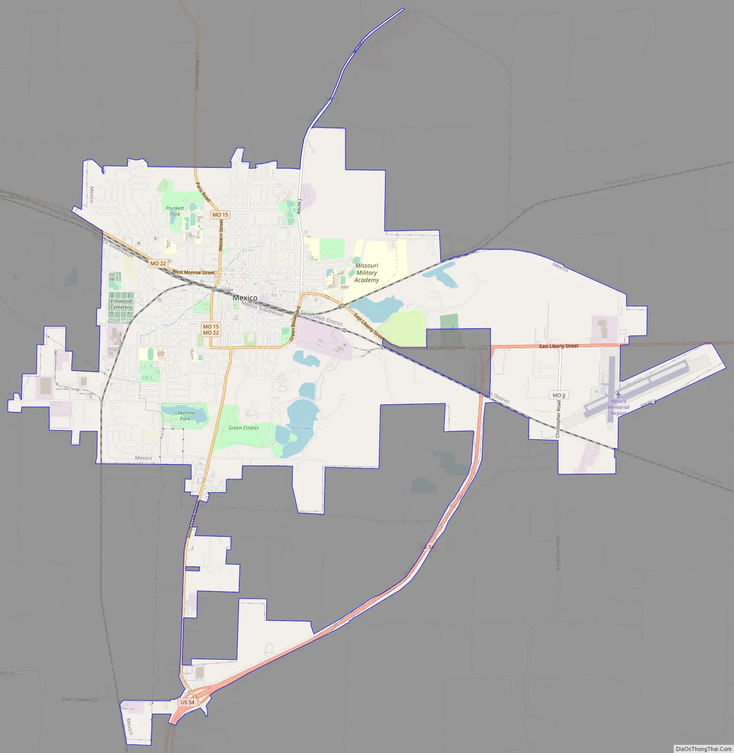
Mexico Road Map
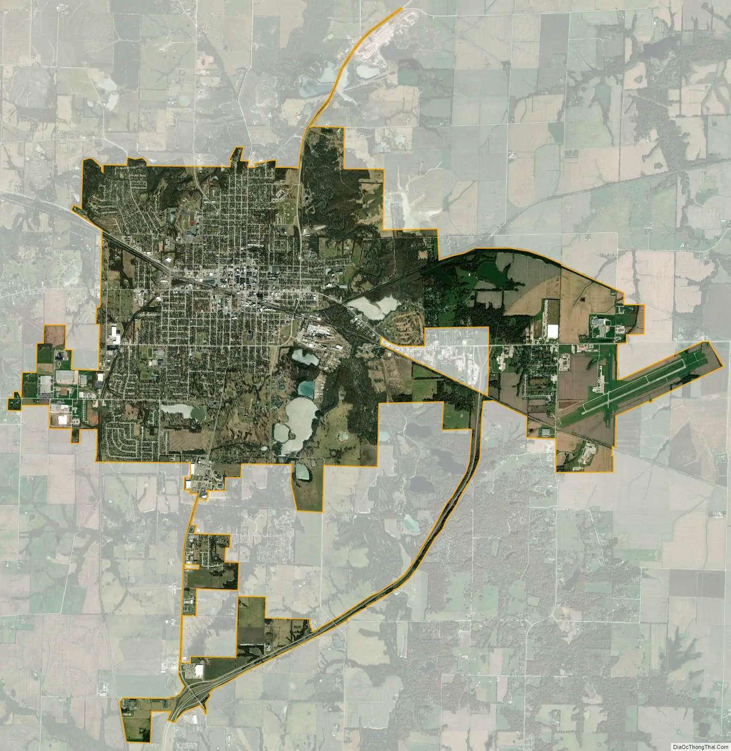
Mexico city Satellite Map
Geography
Mexico is located approximately 100 miles northwest of St Louis at the intersection of US Route 54 and state routes 22 and 15. According to the United States Census Bureau, the city has a total area of 12.38 square miles (32.06 km), of which 12.01 square miles (31.11 km) is land and 0.37 square miles (0.96 km) is water.
Climate
See also
Map of Missouri State and its subdivision:- Adair
- Andrew
- Atchison
- Audrain
- Barry
- Barton
- Bates
- Benton
- Bollinger
- Boone
- Buchanan
- Butler
- Caldwell
- Callaway
- Camden
- Cape Girardeau
- Carroll
- Carter
- Cass
- Cedar
- Chariton
- Christian
- Clark
- Clay
- Clinton
- Cole
- Cooper
- Crawford
- Dade
- Dallas
- Daviess
- De Kalb
- Dent
- Douglas
- Dunklin
- Franklin
- Gasconade
- Gentry
- Greene
- Grundy
- Harrison
- Henry
- Hickory
- Holt
- Howard
- Howell
- Iron
- Jackson
- Jasper
- Jefferson
- Johnson
- Knox
- Laclede
- Lafayette
- Lawrence
- Lewis
- Lincoln
- Linn
- Livingston
- Macon
- Madison
- Maries
- Marion
- McDonald
- Mercer
- Miller
- Mississippi
- Moniteau
- Monroe
- Montgomery
- Morgan
- New Madrid
- Newton
- Nodaway
- Oregon
- Osage
- Ozark
- Pemiscot
- Perry
- Pettis
- Phelps
- Pike
- Platte
- Polk
- Pulaski
- Putnam
- Ralls
- Randolph
- Ray
- Reynolds
- Ripley
- Saint Charles
- Saint Clair
- Saint Francois
- Saint Louis
- Sainte Genevieve
- Saline
- Schuyler
- Scotland
- Scott
- Shannon
- Shelby
- Stoddard
- Stone
- Sullivan
- Taney
- Texas
- Vernon
- Warren
- Washington
- Wayne
- Webster
- Worth
- Wright
- Alabama
- Alaska
- Arizona
- Arkansas
- California
- Colorado
- Connecticut
- Delaware
- District of Columbia
- Florida
- Georgia
- Hawaii
- Idaho
- Illinois
- Indiana
- Iowa
- Kansas
- Kentucky
- Louisiana
- Maine
- Maryland
- Massachusetts
- Michigan
- Minnesota
- Mississippi
- Missouri
- Montana
- Nebraska
- Nevada
- New Hampshire
- New Jersey
- New Mexico
- New York
- North Carolina
- North Dakota
- Ohio
- Oklahoma
- Oregon
- Pennsylvania
- Rhode Island
- South Carolina
- South Dakota
- Tennessee
- Texas
- Utah
- Vermont
- Virginia
- Washington
- West Virginia
- Wisconsin
- Wyoming