Barry County is a county in the U.S. state of Michigan. As of the 2020 United States Census, the population was 62,423. The county seat is Hastings.
| Name: | Barry County |
|---|---|
| FIPS code: | 26-015 |
| State: | Michigan |
| Founded: | 1829 |
| Named for: | William Taylor Barry |
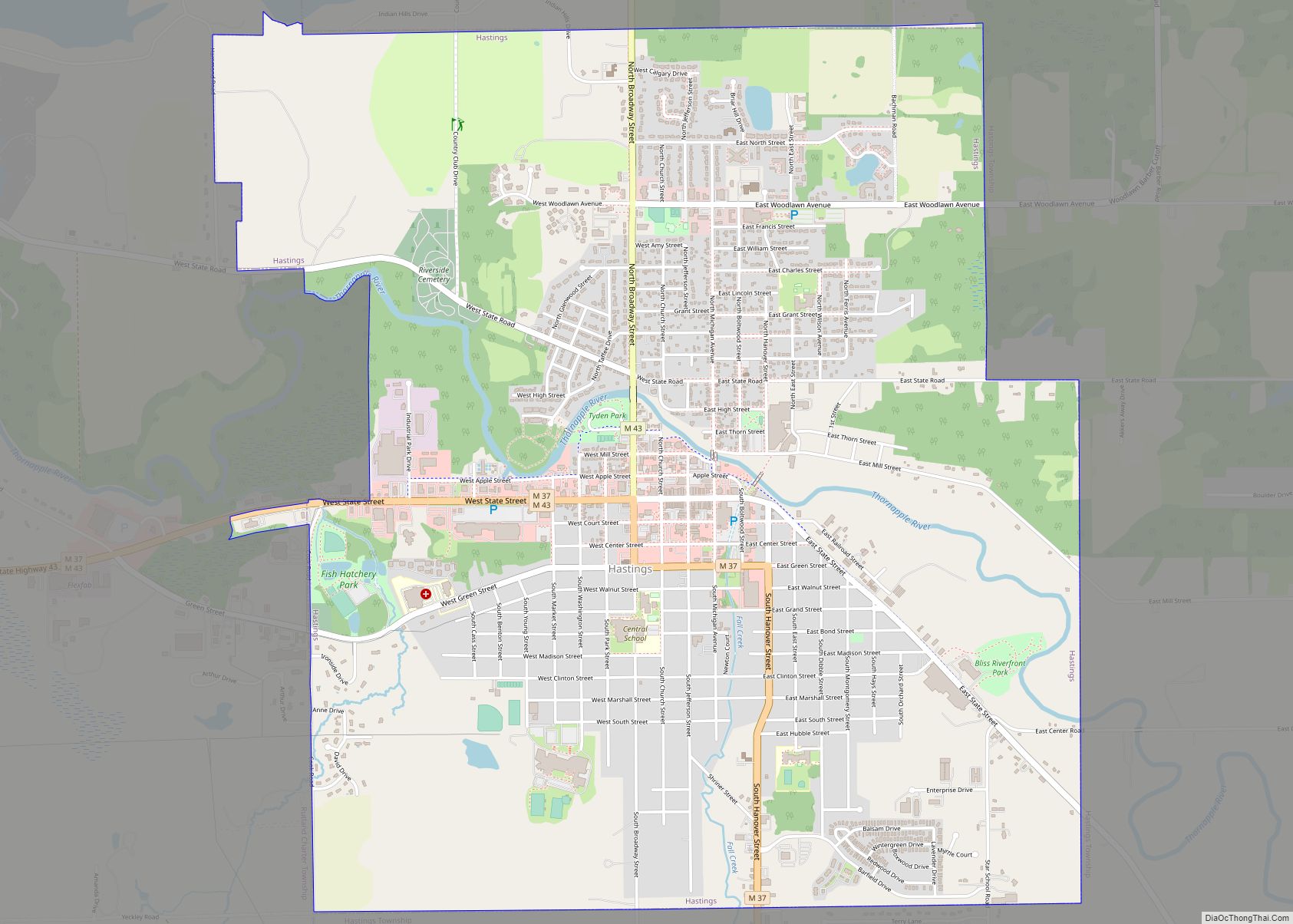
| Seat: | Hastings |
| Largest city: | Hastings |
| Total Area: | 577 sq mi (1,490 km²) |
| Land Area: | 553 sq mi (1,430 km²) |
| Total Population: | 62,423 |
| Population Density: | 107/sq mi (41/km²) |
| Time zone: | UTC−5 (Eastern) |
| Summer Time Zone (DST): | UTC−4 (EDT) |
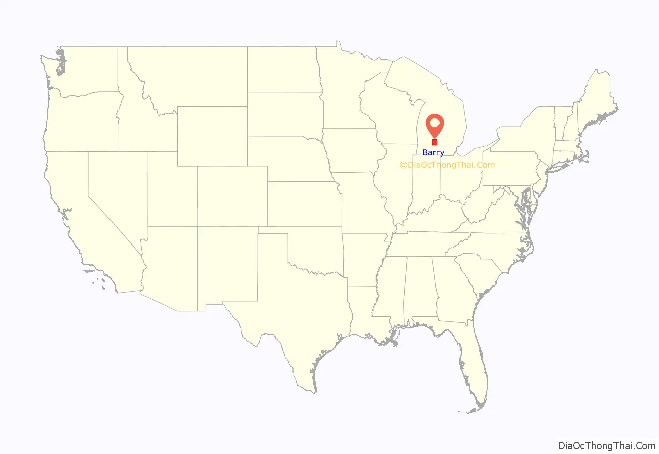
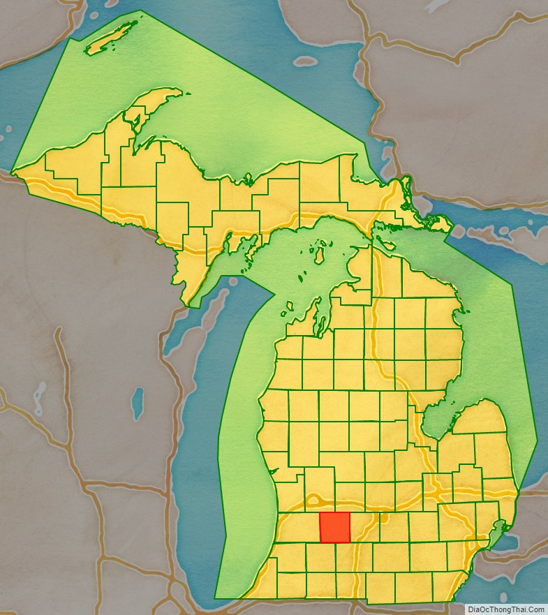
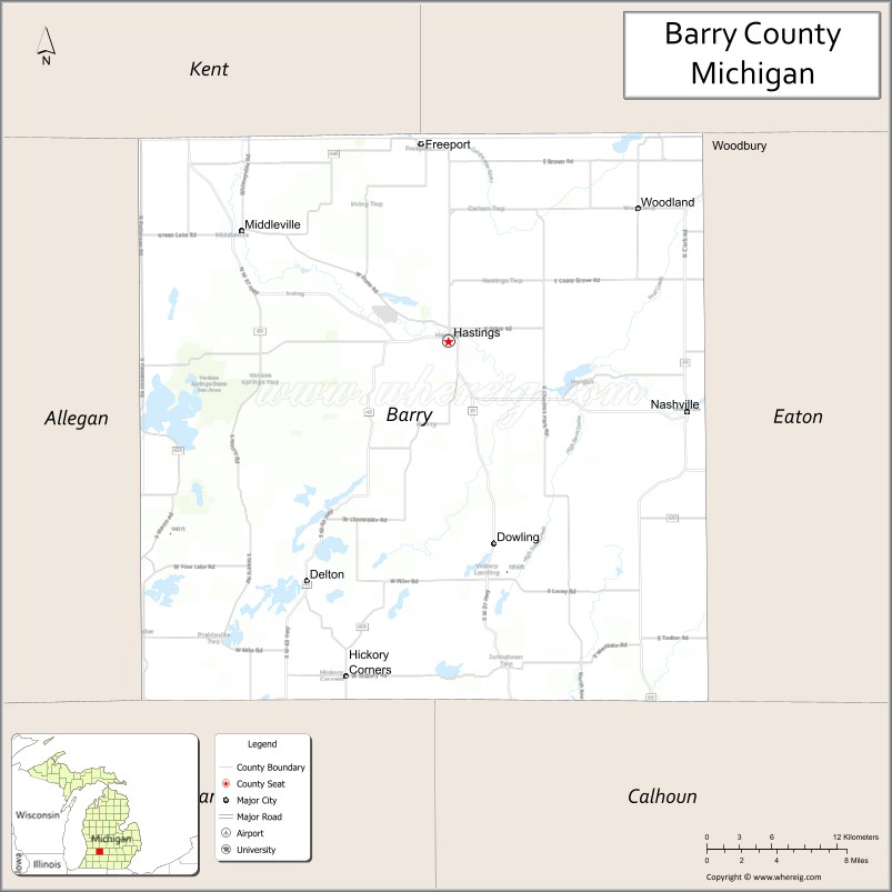
Barry County location map. Where is Barry County?
History
Before the present era, the Michigan peninsula was long occupied by bands of the Potowatomi and Ojibwe of the Lake Superior Band of Chippewa Indians. The United States government forced the tribes to cede their extensive territories to the federal government, in exchange for annuities and small reservations. The federally recognized Match-E-Be-Nash-She-Wish Band of Pottowatomi has a reservation in Allegan County, just west of Barry County.
Barry County was described and delineated by act of the Territorial legislature on April 29, 1829, carved out of previously unorganized lands in the Territory. It was named to honor William Taylor Barry, who was serving as United States Postmaster General at the time of the county’s proclamation. Barry was one of US President Andrew Jackson’s cabinet members who were memorialized in names of ten Michigan counties, the “cabinet counties”.
By 1839, the Territory had been admitted into the Union as Michigan State. In 1839, the Michigan State Legislature approved the organization of Barry County as an independent entity.
In the early years of the twentieth century, petroleum deposits of varying magnitudes were discovered and developed in Michigan’s Lower Peninsula. This discovery was made in Barry County in 1939; similar discoveries in adjacent counties ranged from 1937 (Allegan County) to 1972 (Eaton County). Identifiable petroleum deposits had been identified in every county adjacent to Barry by 1972.
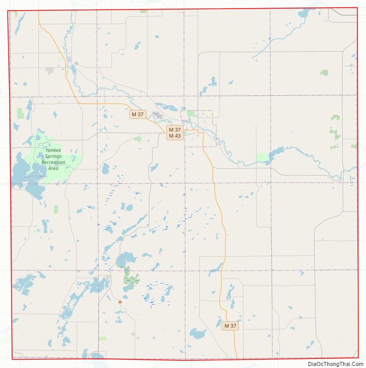
Barry County Road Map
Geography
According to the US Census Bureau, the county has a total area of 577 square miles (1,490 km), of which 553 square miles (1,430 km) is land and 24 square miles (62 km) (4.2%) is water.
Adjacent counties
- Ionia County – northeast
- Eaton County – east
- Calhoun County – southeast
- Kalamazoo County – southwest
- Allegan County – west
- Kent County – northwest
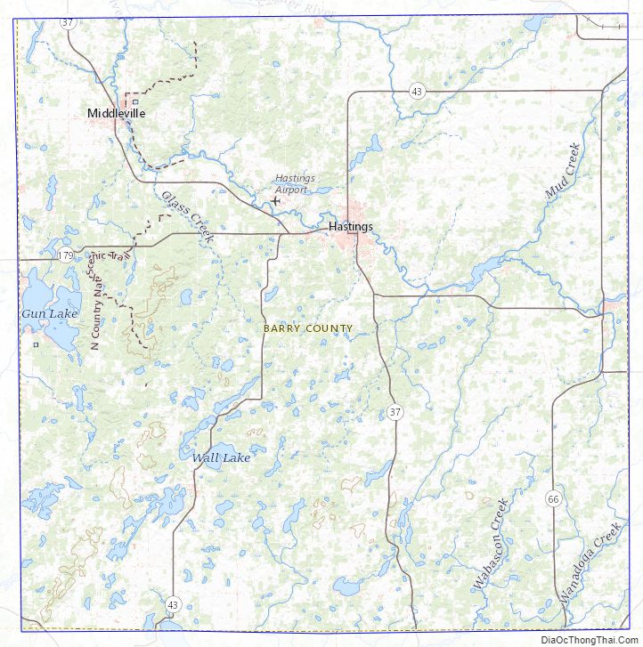
Barry County Topographic Map
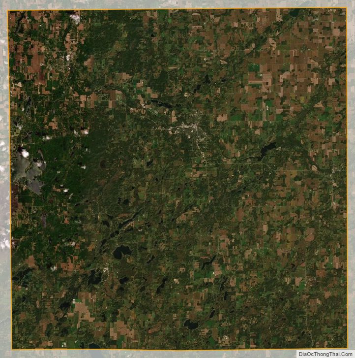
Barry County Satellite Map
Barry County Outline Map