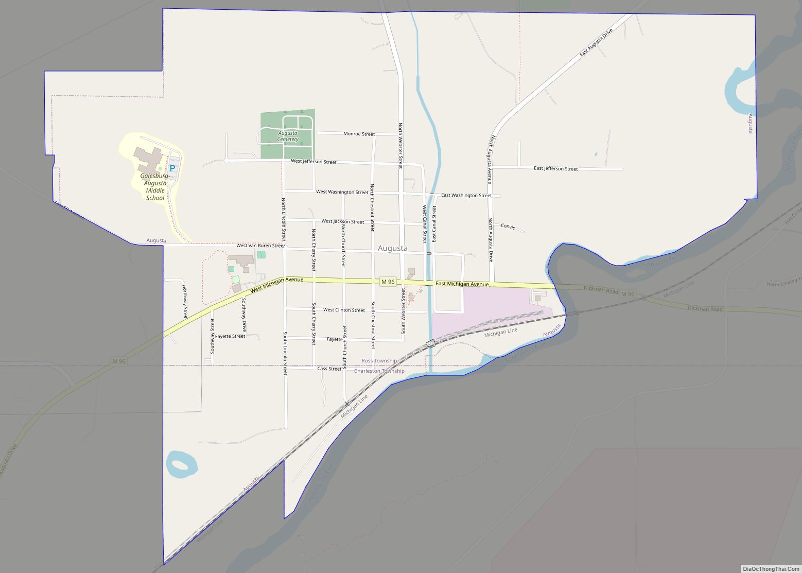
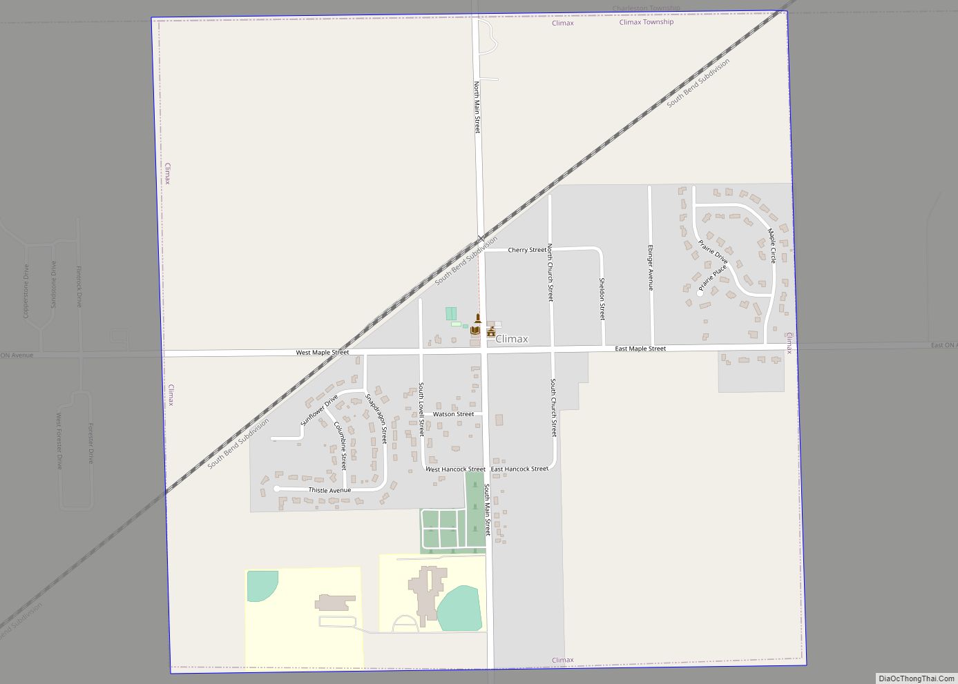
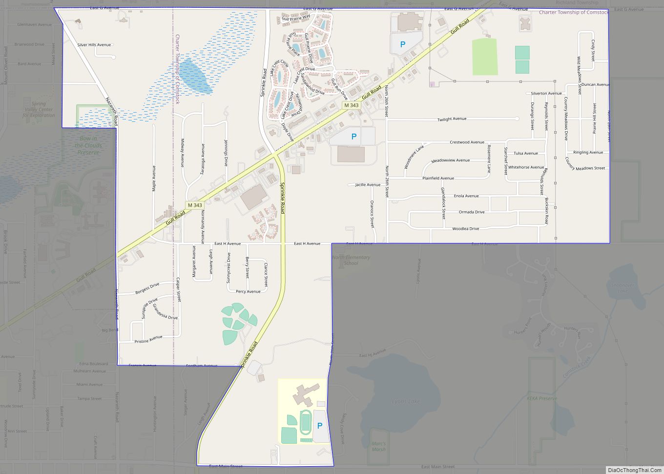
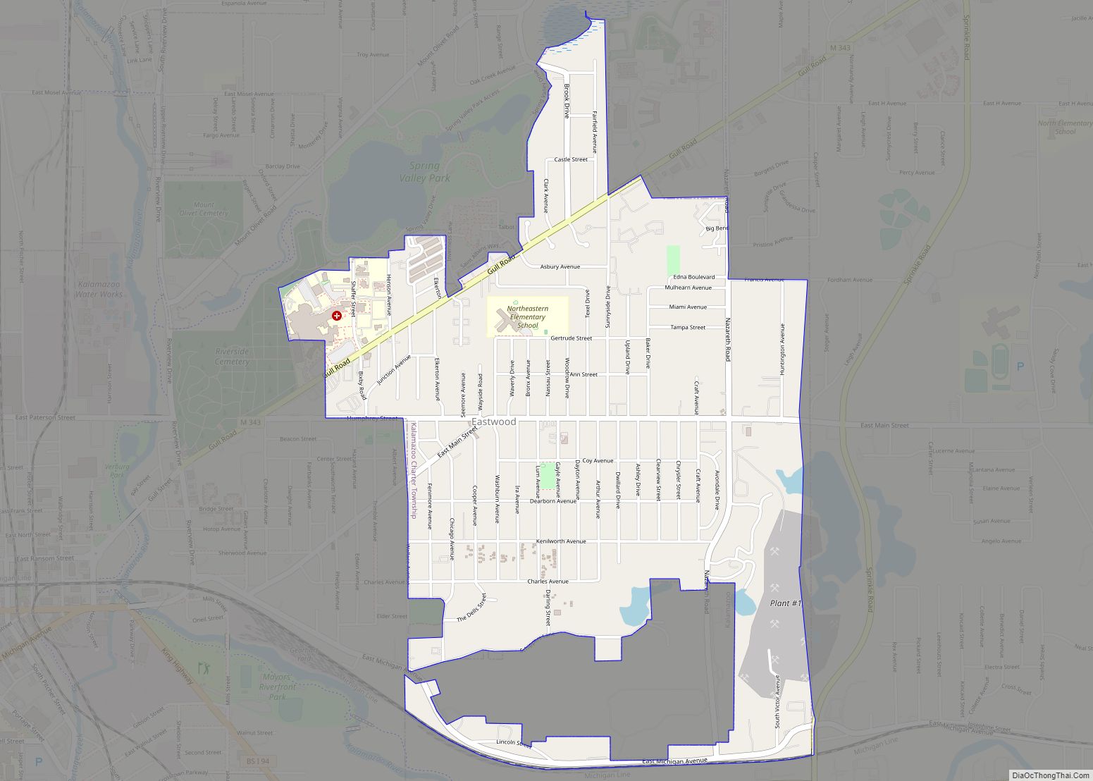
Kalamazoo County (/ˌkæləməˈzuː/ KAL-ə-mə-ZOO) is a county located in the U.S. state of Michigan. As of 2020, the population was 261,670. The county seat is Kalamazoo.
Kalamazoo County is included in the Kalamazoo–Portage, MI Metropolitan Statistical Area.
| Name: | Kalamazoo County |
|---|---|
| FIPS code: | 26-077 |
| State: | Michigan |
| Founded: | May 7, 1830 |
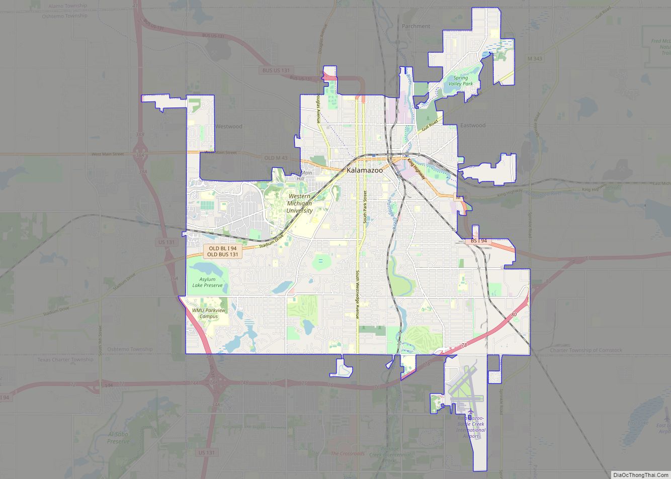
| Seat: | Kalamazoo |
| Largest city: | Kalamazoo |
| Total Area: | 580 sq mi (1,500 km²) |
| Land Area: | 562 sq mi (1,460 km²) |
| Total Population: | 261,670 |
| Population Density: | 446/sq mi (172/km²) |
| Time zone: | UTC−5 (Eastern) |
| Summer Time Zone (DST): | UTC−4 (EDT) |
| Website: | www.kalcounty.com |
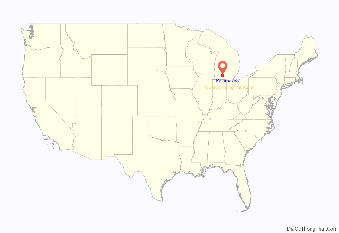
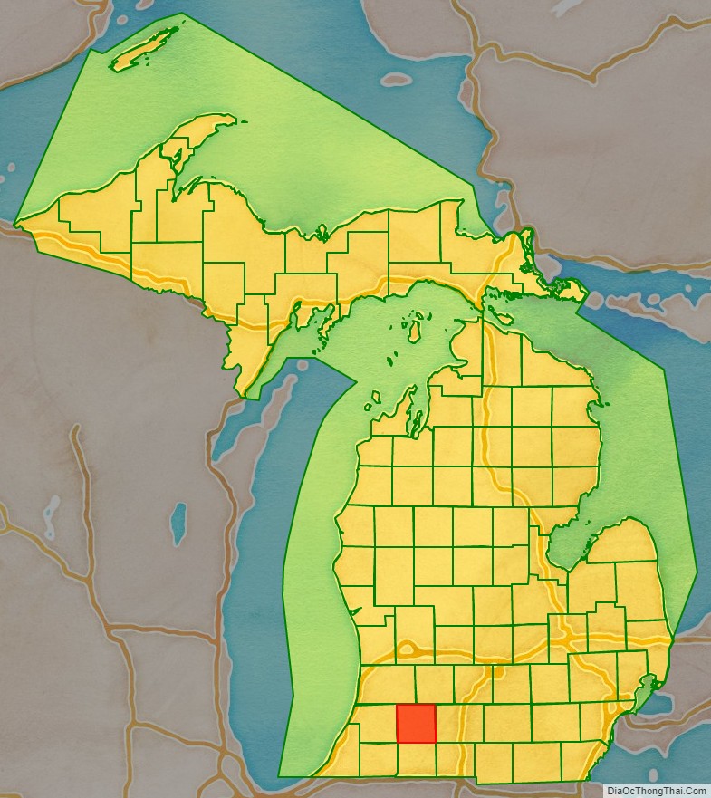
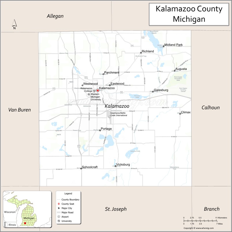
Kalamazoo County location map. Where is Kalamazoo County?
History
Kalamazoo County was organized in 1830, although its set off date is unknown. The village of Kalamazoo (then known as Bronson) was made the county seat in 1831.
The name purportedly means “the mirage or reflecting river” and the original Indian name was “Kikalamazoo”. See, Etymology of Kalamazoo for detail on the origin of the name. See also, List of Michigan county name etymologies.
Kalamazoo County does not have a county flag.
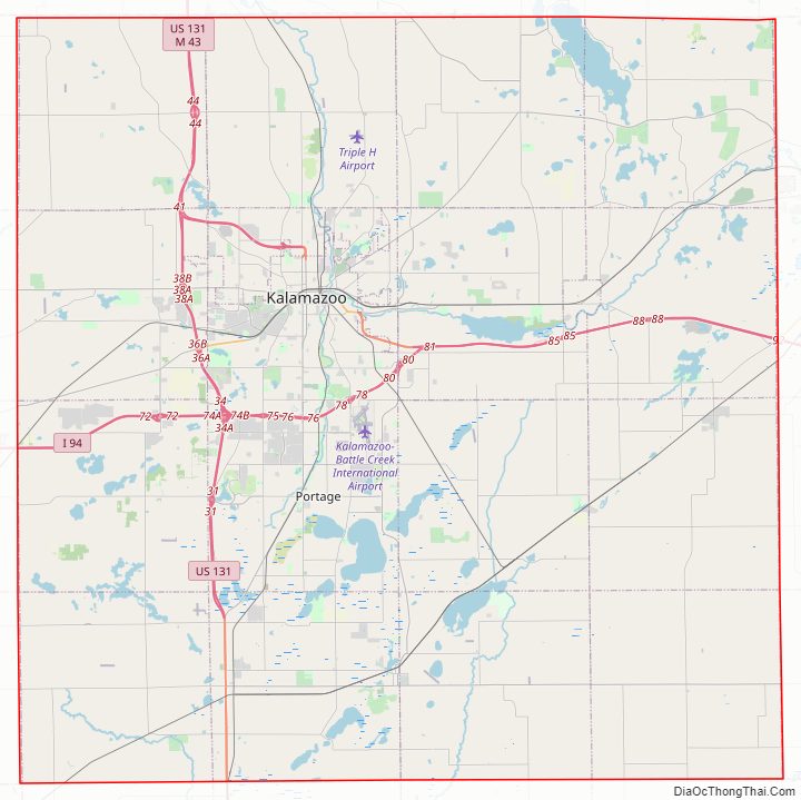
Kalamazoo County Road Map
Geography
According to the U.S. Census Bureau, the county has a total area of 580 square miles (1,500 km), of which 562 square miles (1,460 km) is land and 19 square miles (49 km) (3.2%) is water.
Geographic features
- Kalamazoo River
- Portage River
Adjacent counties
- Barry County – northeast
- Allegan County – northwest
- Calhoun County – east
- Van Buren County – west
- Branch County – southeast
- St. Joseph County – south
- Cass County – southwest
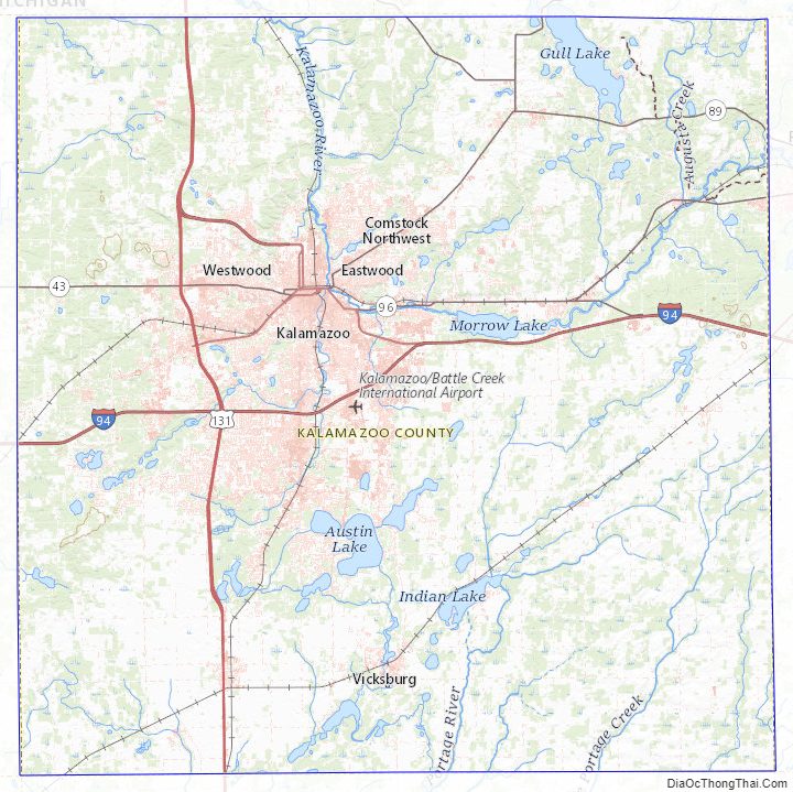
Kalamazoo County Topographic Map
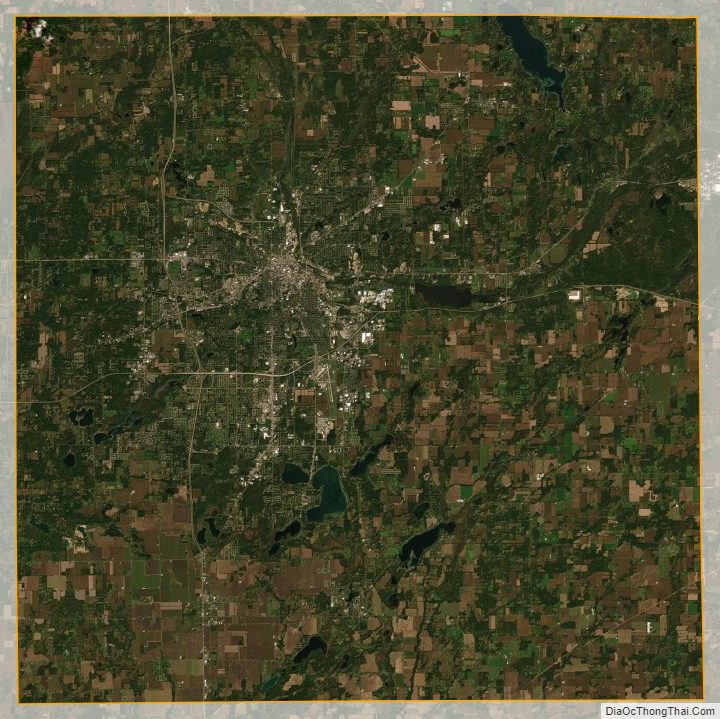
Kalamazoo County Satellite Map
Kalamazoo County Outline Map