Calhoun County is a county in the U.S. state of Michigan. As of the 2020 Census, the population was 134,310. The county seat is Marshall. The county was established on October 19, 1829, and named after John C. Calhoun, who was at the time Vice President under Andrew Jackson, making it one of Michigan’s Cabinet counties. County government was first organized on March 6, 1833. Calhoun County comprises the Battle Creek Metropolitan Statistical Area and is included in the Kalamazoo-Battle Creek-Portage Combined Statistical Area.
| Name: | Calhoun County |
|---|---|
| FIPS code: | 26-025 |
| State: | Michigan |
| Founded: | established 1829 organized 1833 |
| Named for: | John C. Calhoun |
| Seat: | Marshall |
| Largest city: | Battle Creek |
| Total Area: | 718 sq mi (1,860 km²) |
| Land Area: | 706 sq mi (1,830 km²) |
| Total Population: | 134,310 |
| Population Density: | 193/sq mi (75/km²) |
| Website: | www.calhouncountymi.gov |
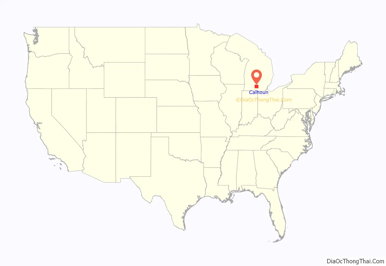
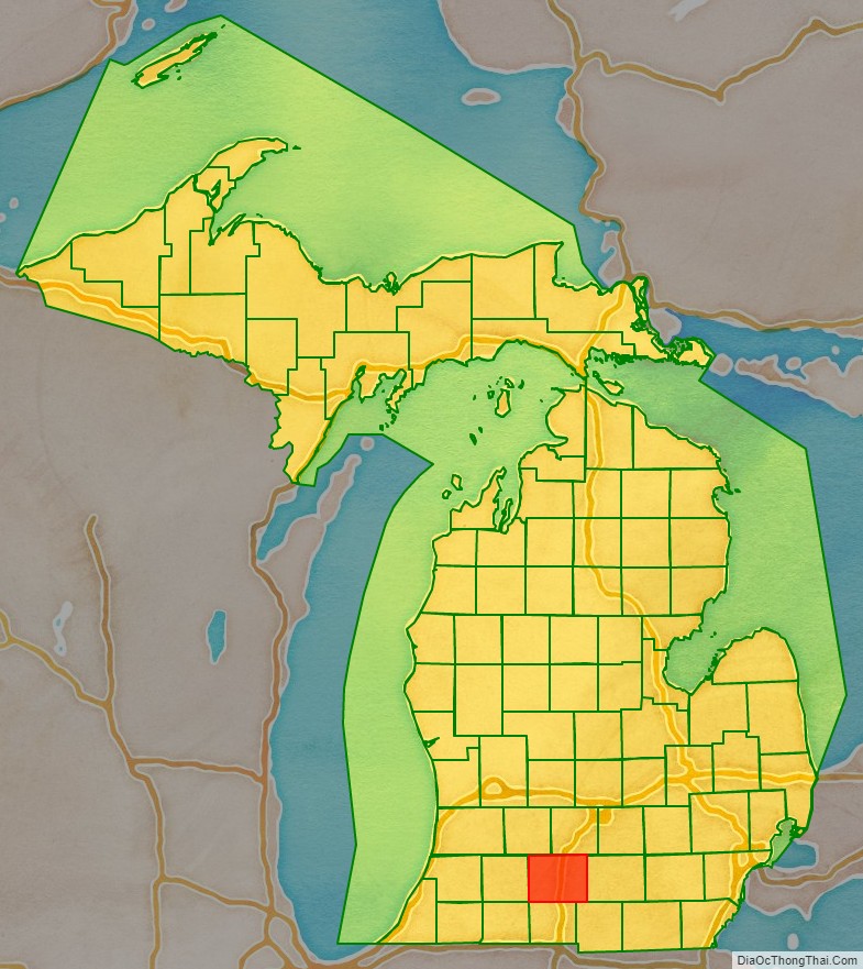
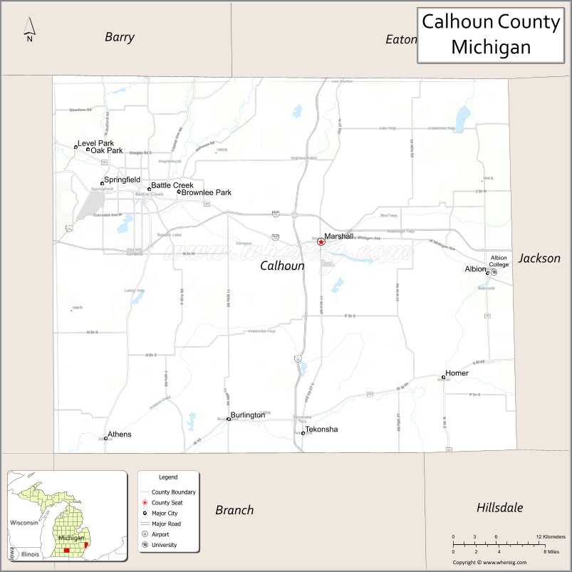
Calhoun County location map. Where is Calhoun County?
History
The Kalamazoo River oil spill occurred in July 2010 when a pipeline operated by Enbridge (Line 6B) burst and flowed into Talmadge Creek, a tributary of the Kalamazoo River. A six-foot break in the pipeline resulted in the largest inland oil spill, and one of the costliest spills in U.S. history. The pipeline carries diluted bitumen (dilbit), a heavy crude oil from Canada’s Athabasca oil sands to the United States. Following the spill, the volatile hydrocarbon diluents evaporated, leaving the heavier bitumen to sink in the water column. Thirty-five miles of the Kalamazoo River were closed for clean-up until June 2012, when portions of the river were re-opened. On March 14, 2013, the Environmental Protection Agency (EPA) ordered Enbridge to return to dredge portions of the river to remove submerged oil and oil-contaminated sediment.
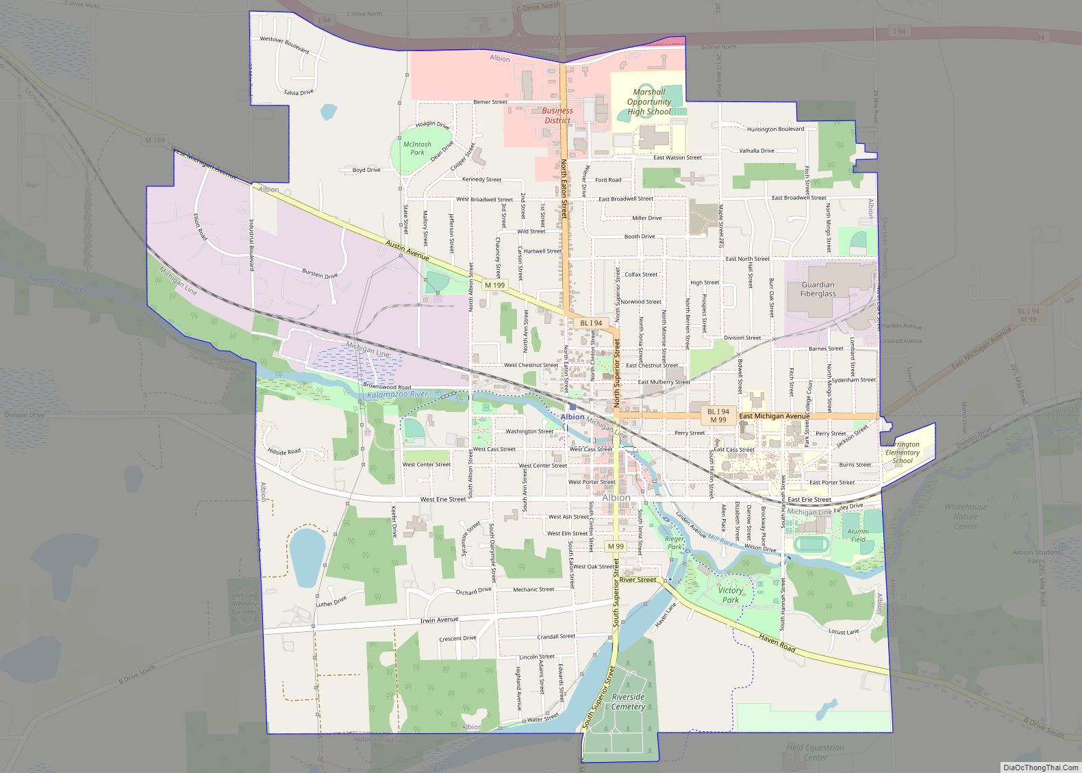
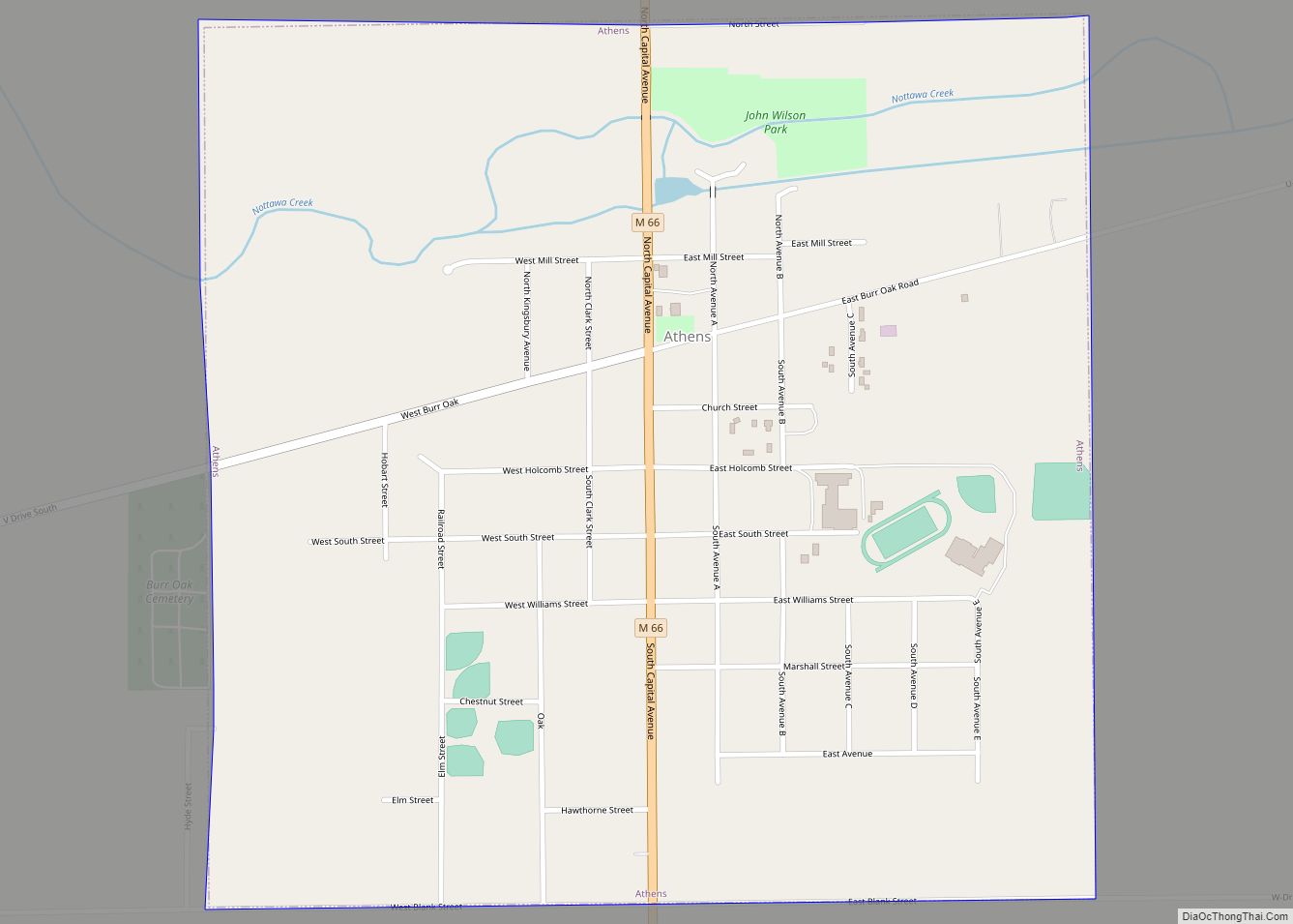
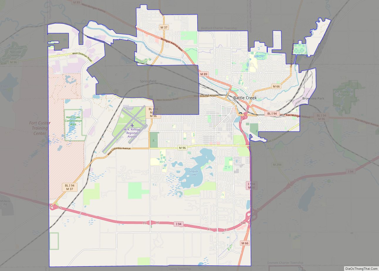
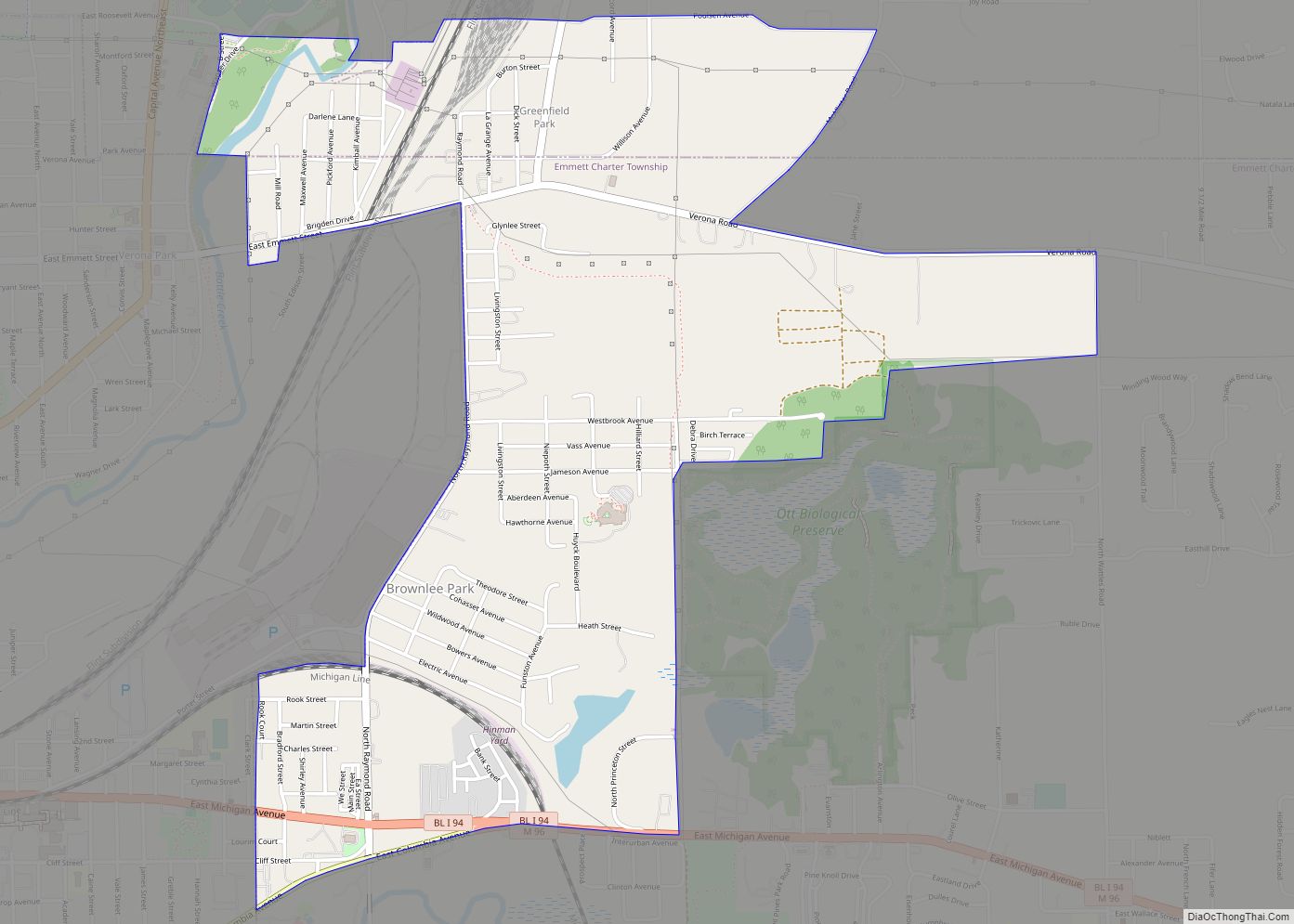
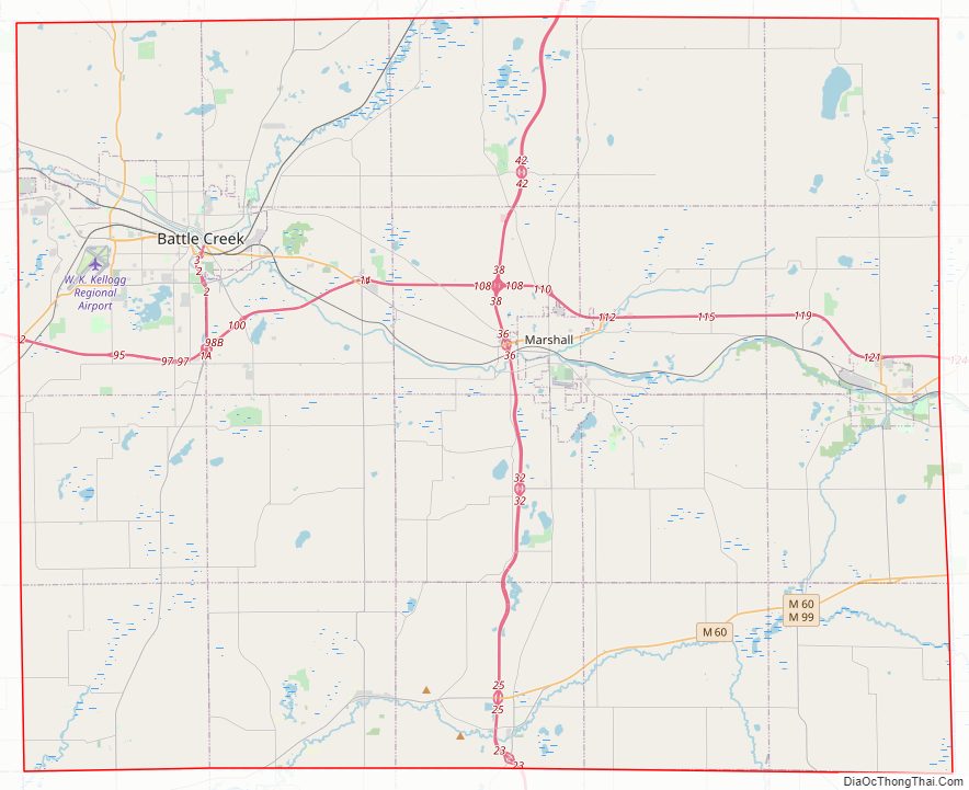
Calhoun County Road Map
Geography
According to the U.S. Census Bureau, the county has a total area of 718 square miles (1,860 km), of which 706 square miles (1,830 km) is land and 12 square miles (31 km) (1.7%) is water.
Geographic features
- Kalamazoo River
- Battle Creek River
- St. Joseph River (Lake Michigan)
- Goguac Lake
Adjacent counties
- Eaton County – north
- Barry County – northwest
- Jackson County – east
- Kalamazoo County – west
- Hillsdale County – southeast
- Branch County – south
- St. Joseph County – southwest
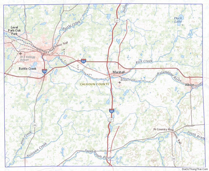
Calhoun County Topographic Map
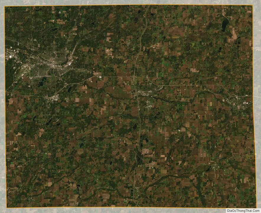
Calhoun County Satellite Map
Calhoun County Outline Map