Caldwell County is a county located in the U.S. state of Texas. As of the 2020 census, its population was 45,883. Its county seat is Lockhart. The county was founded in 1848 and named after Mathew Caldwell, a ranger captain who fought in the Battle of Plum Creek against the Comanches and against Santa Anna’s armies during the Texas Revolution. Caldwell was also a signer of the Texas Declaration of Independence.
Caldwell County is part of the Greater Austin metropolitan area.
| Name: | Caldwell County |
|---|---|
| FIPS code: | 48-055 |
| State: | Texas |
| Founded: | 1848 |
| Named for: | Mathew Caldwell |
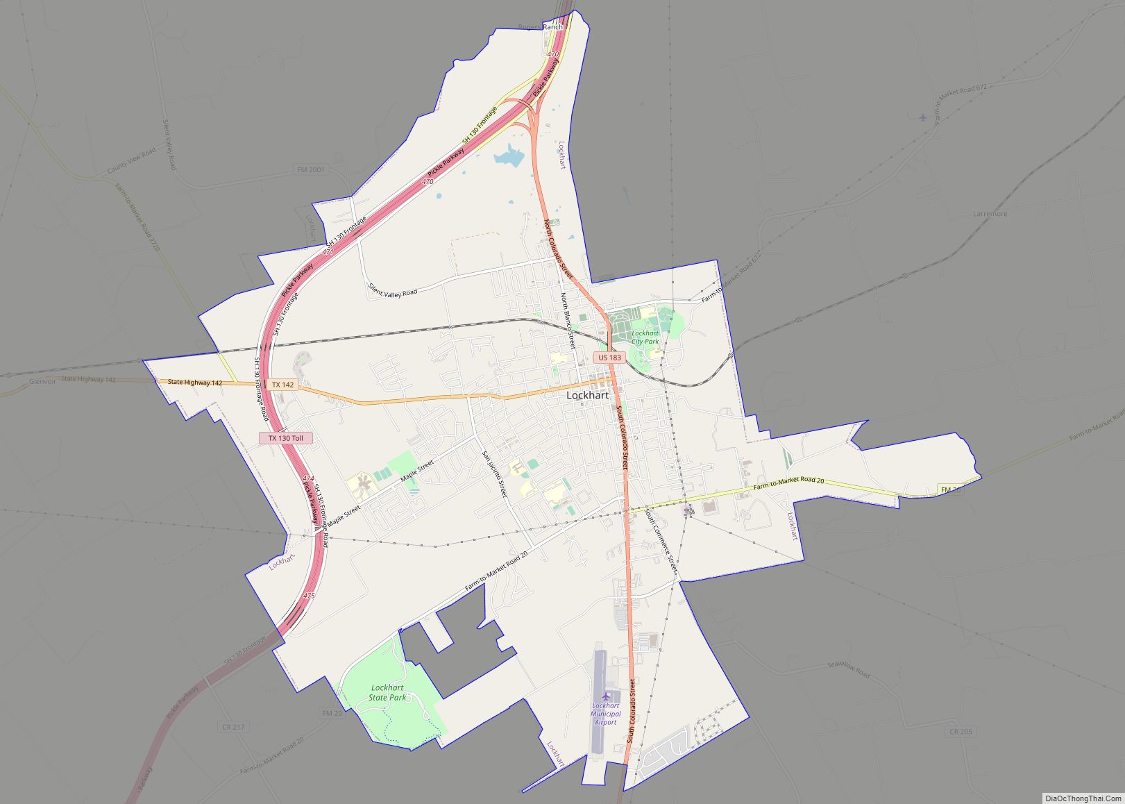
| Seat: | Lockhart |
| Largest city: | Lockhart |
| Total Area: | 547 sq mi (1,420 km²) |
| Land Area: | 545 sq mi (1,410 km²) |
| Total Population: | 45,883 |
| Population Density: | 84/sq mi (32/km²) |
| Time zone: | UTC−6 (Central) |
| Summer Time Zone (DST): | UTC−5 (CDT) |
| Website: | www.co.caldwell.tx.us |
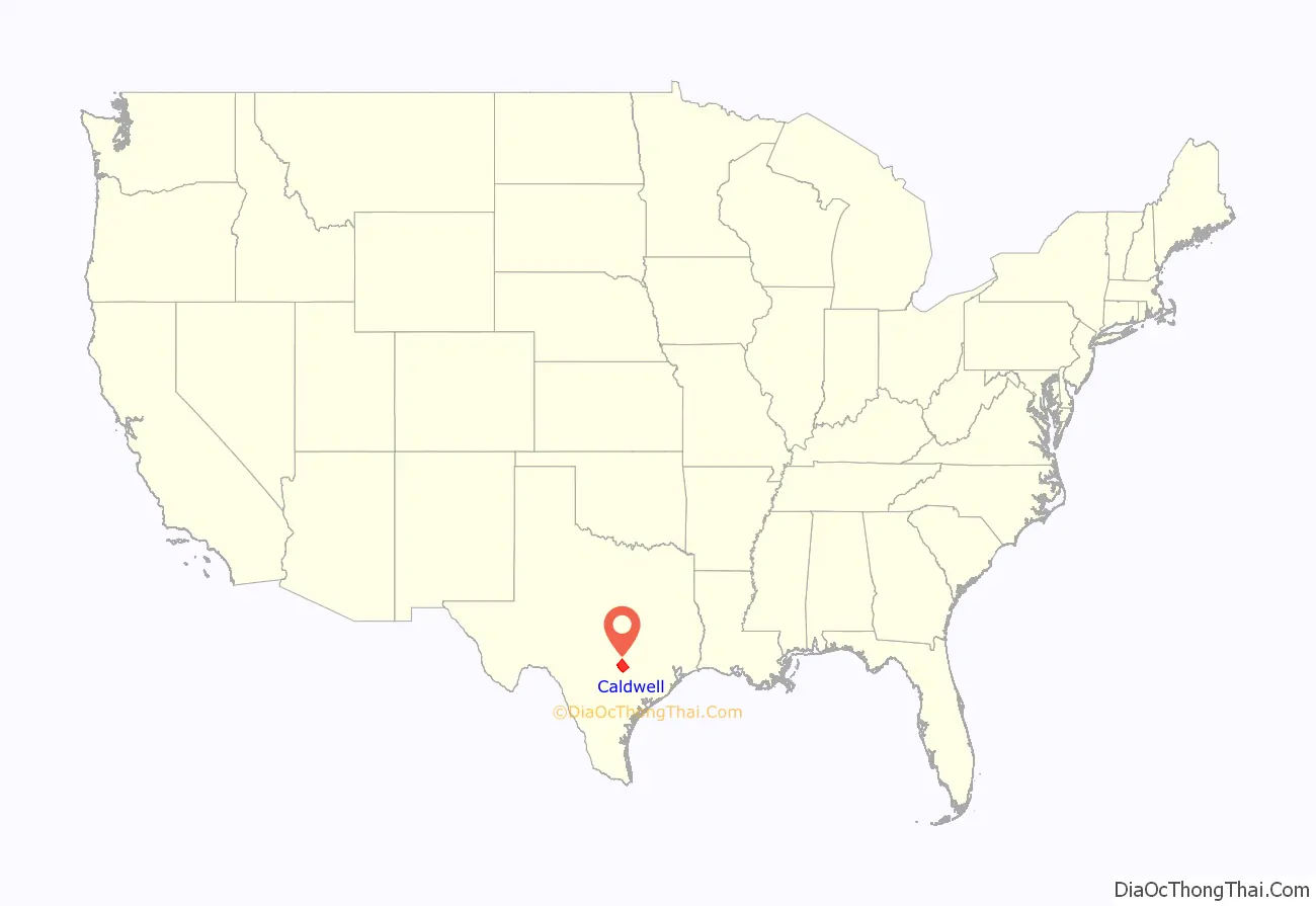
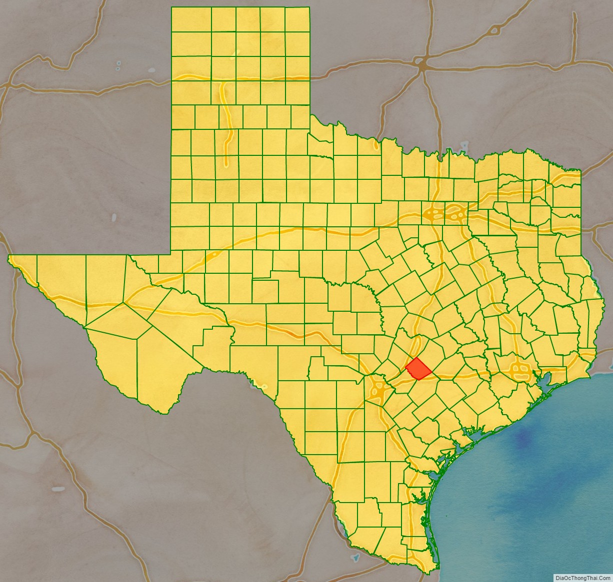
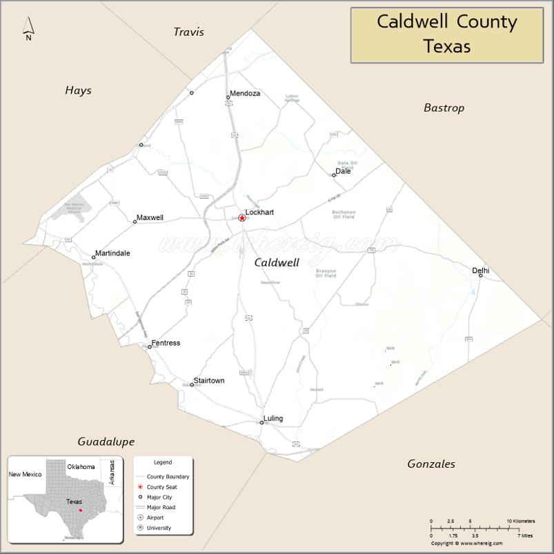
Caldwell County location map. Where is Caldwell County?
History
Around 8000 BC, Paleo-Indians hunter-gatherers inhabited the area, and later Tonkawa, Karankawa and Comanche peoples became the first identified inhabitants. Caldwell County, of Green DeWitt’s petition for a land grant to establish a colony in Texas, was approved by the Mexican government in 1825.
In 1839, Edmund Bellinger became the first settler of Prairie Lea, the county’s oldest town. Sam Houston named the town for his future wife Margaret Lea Houston. The legislature formed Caldwell County from Bastrop and Gonzales Counties in March 1845. Lockhart was named as the county seat.
By 1860, the county population was 2,871, with 1,610 slaves. The community of Fentress was established, originally as Riverside, but later changed to honor the town’s first physician, James Fentress. The next year, the county voted 434–188 in favor of secession from the Union. Several hundred men from Caldwell County served in the Confederate States Army.
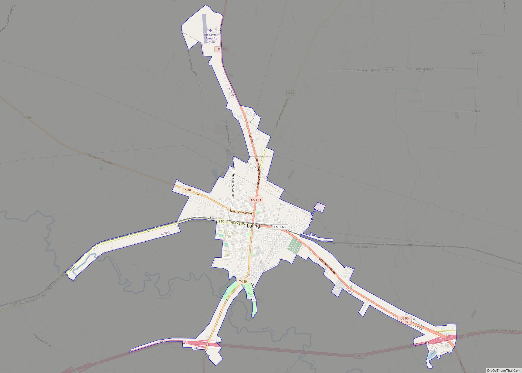
In the 1870s, St. John Colony was established by former slaves. The town of Luling was established in 1874 . John and James Merriwether and Leonidas Hardeman built a gristmill and a sawmill, later known as Zedler’s Mills.
The Missouri, Kansas, and Texas completed its track between Lockhart and San Marcos in 1887. Two years later, the San Antonio and Aransas Pass Railway connected Lockhart and Luling to Shiner. By 1892, the Missouri, Kansas and Texas had laid track from Lockhart east to Smithville.
From 1880 to 1900, tenant farming accounted for nearly half of all the county’s farming and as much as 75% of the 3,149 farms. The Southwest Texas Sacred Harp Singing Convention was established in 1902 in McMahan.
On August 9, 1922, Edgar B. Davis discovered the Luling Oilfield. The Luling Foundation was established in 1927 by Davis to teach diversity in agriculture and improve the lives of farm and ranch families.
The Lockhart State Park opened to the public in 1948. In 1953, Luling established its annual Watermelon Thump celebration.
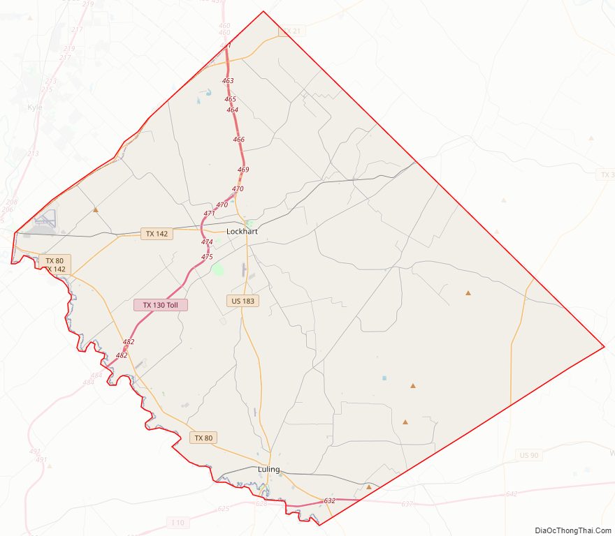
Caldwell County Road Map
Geography
According to the U.S. Census Bureau, the county has a total area of 547 square miles (1,420 km), of which 1.9 square miles (4.9 km) (0.3%) is covered by water.
Major highways
- Interstate 10
- U.S. Highway 90
- U.S. Highway 183
- State Highway 80
- State Highway 130
Adjacent counties
- Travis County (north)
- Bastrop County (northeast)
- Fayette County (southeast)
- Gonzales County (south)
- Guadalupe County (southwest)
- Hays County (northwest)
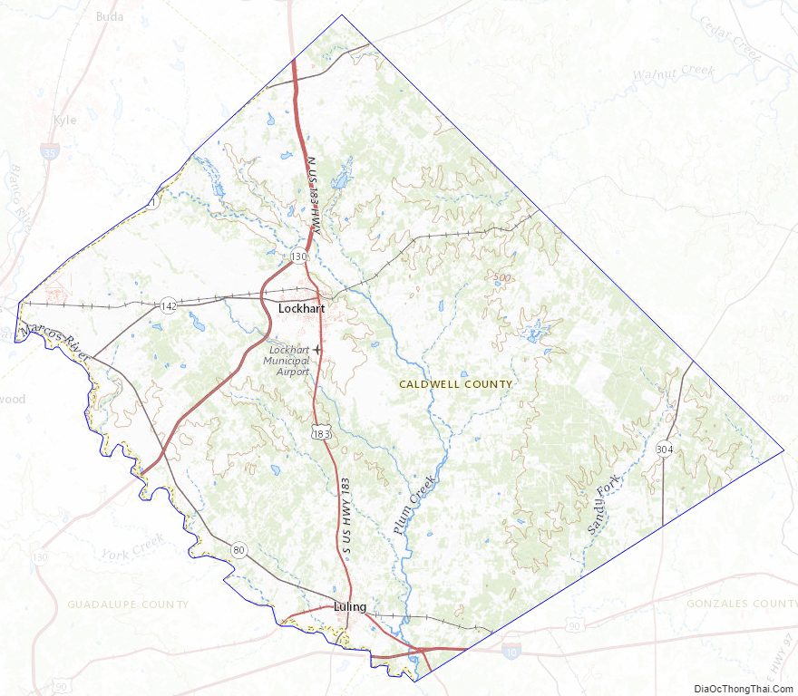
Caldwell County Topographic Map
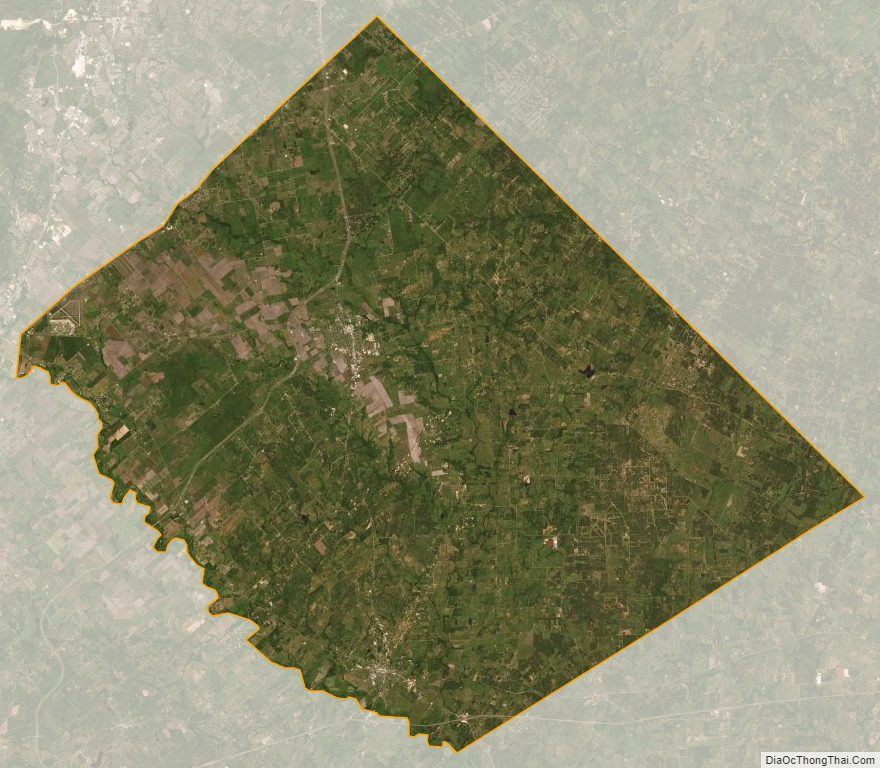
Caldwell County Satellite Map
Caldwell County Outline Map