Camp Swift is a census-designated place (CDP) in Bastrop County, Texas, United States. The population was 7,943 at the 2020 census. Camp Swift began as a United States Army training base built in 1942. It is named after Major General Eben Swift.
| Name: | Camp Swift CDP |
|---|---|
| LSAD Code: | 57 |
| LSAD Description: | CDP (suffix) |
| State: | Texas |
| County: | Bastrop County |
| Elevation: | 440 ft (134 m) |
| Total Area: | 12.1 sq mi (31.4 km²) |
| Land Area: | 12.0 sq mi (31.2 km²) |
| Water Area: | 0.08 sq mi (0.2 km²) |
| Total Population: | 7,943 |
| Population Density: | 660/sq mi (250/km²) |
| FIPS code: | 4812334 |
| GNISfeature ID: | 1867544 |
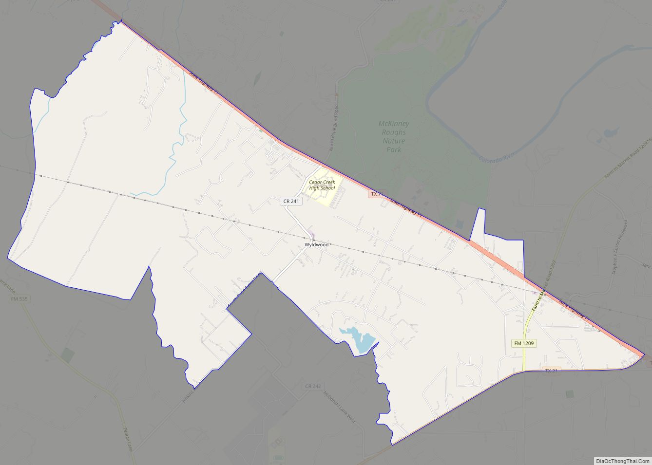
Online Interactive Map
Click on ![]() to view map in "full screen" mode.
to view map in "full screen" mode.
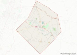
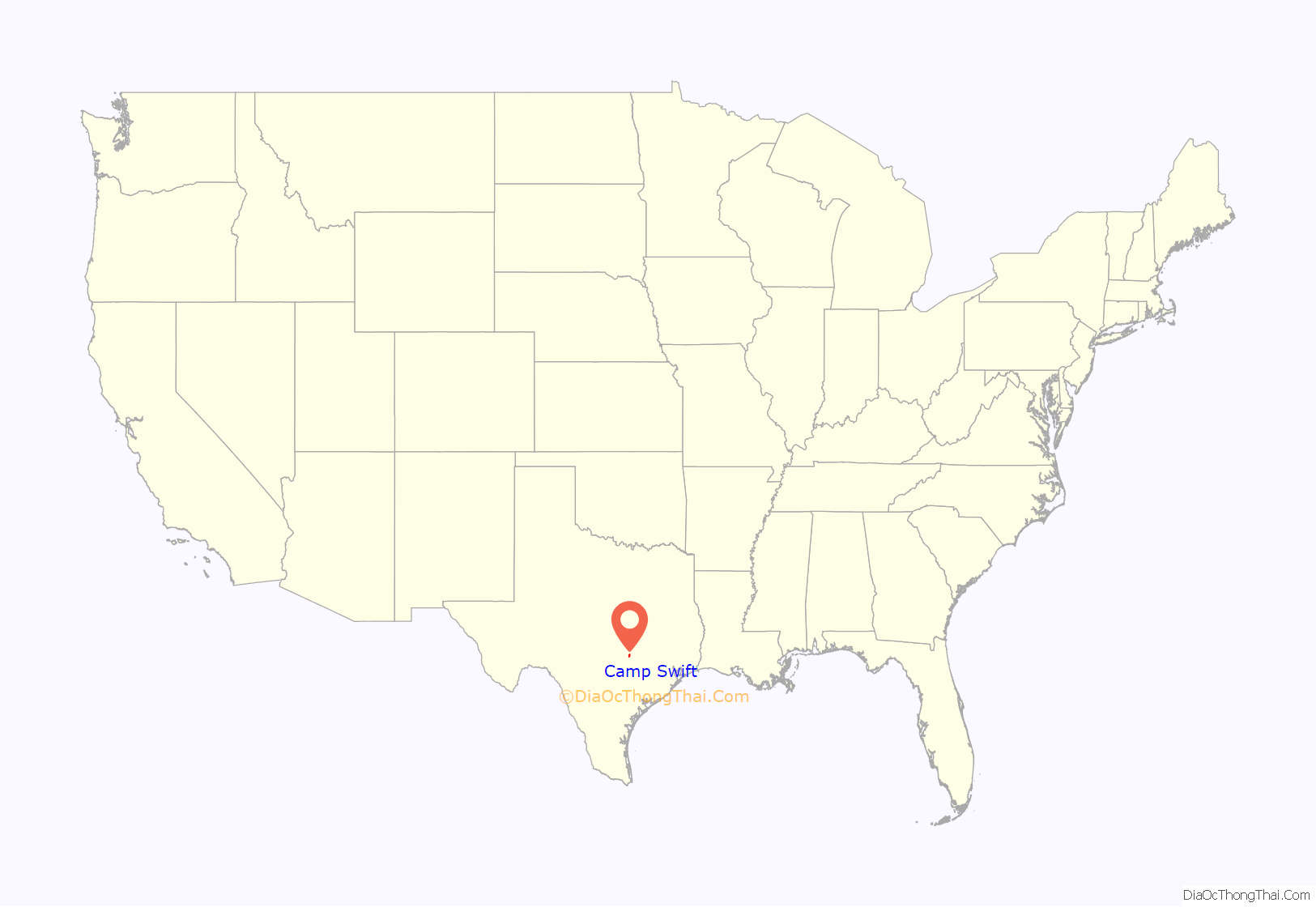
Camp Swift location map. Where is Camp Swift CDP?
History
The Army signed a $25 million contract in January 1942 to build a training camp on 56,000 acres north of Bastrop, Texas. The contract stipulated the project was to be completed in 108 working days. 2700 buildings were built during World War II, but none of those remain on the site today. At the end of the war, they were sold or donated and relocated. The gymnasium was relocated to Whitney Texas. It is still in use today by the school district.
During World War II, German prisoners of war began arriving and at peak numbered 10,000. At the same time, the camp held 90,000 GIs, making it “one of the largest army training and transshipment camps in Texas” according to Krammer.
In December 1942, Sgt Walter Springs was gunned down by a White military police officer following a dispute as Springs was reporting to Camp Swift. Springs was shot in the back, but the case remains largely unsolved to this day. A memorial scholarship in his honor has been active at his alma mater, Regis University, for most of the period since 1952 and has the backing of former NBA All Star Chauncey Billups.
The 10th Mountain Division trained at Camp Swift in 1944. The 2nd Infantry Division trained there mid 1945 to early 1946. The camp also trained nurses under battlefield conditions. The camp trained some 300,000 soldiers before the war ended.
Camp Swift is currently owned by the United States Government but is managed by the Texas Military Forces headquartered on Camp Mabry in Austin and acts as a training center for the National and State Guard, active armed forces, law enforcement, high school ROTC and the Civil Air Patrol. The camp is also the primary emergency staging area for Central Texas.
Civil Air Patrol
The Texas Wing of the Civil Air Patrol, the Auxiliary of the Air Force has held its encampment, a one-week high intensity simulated military training program for Cadet (leaders in training) members in Camp Swift since 2011.
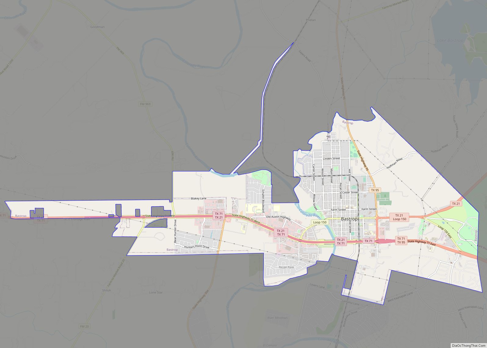
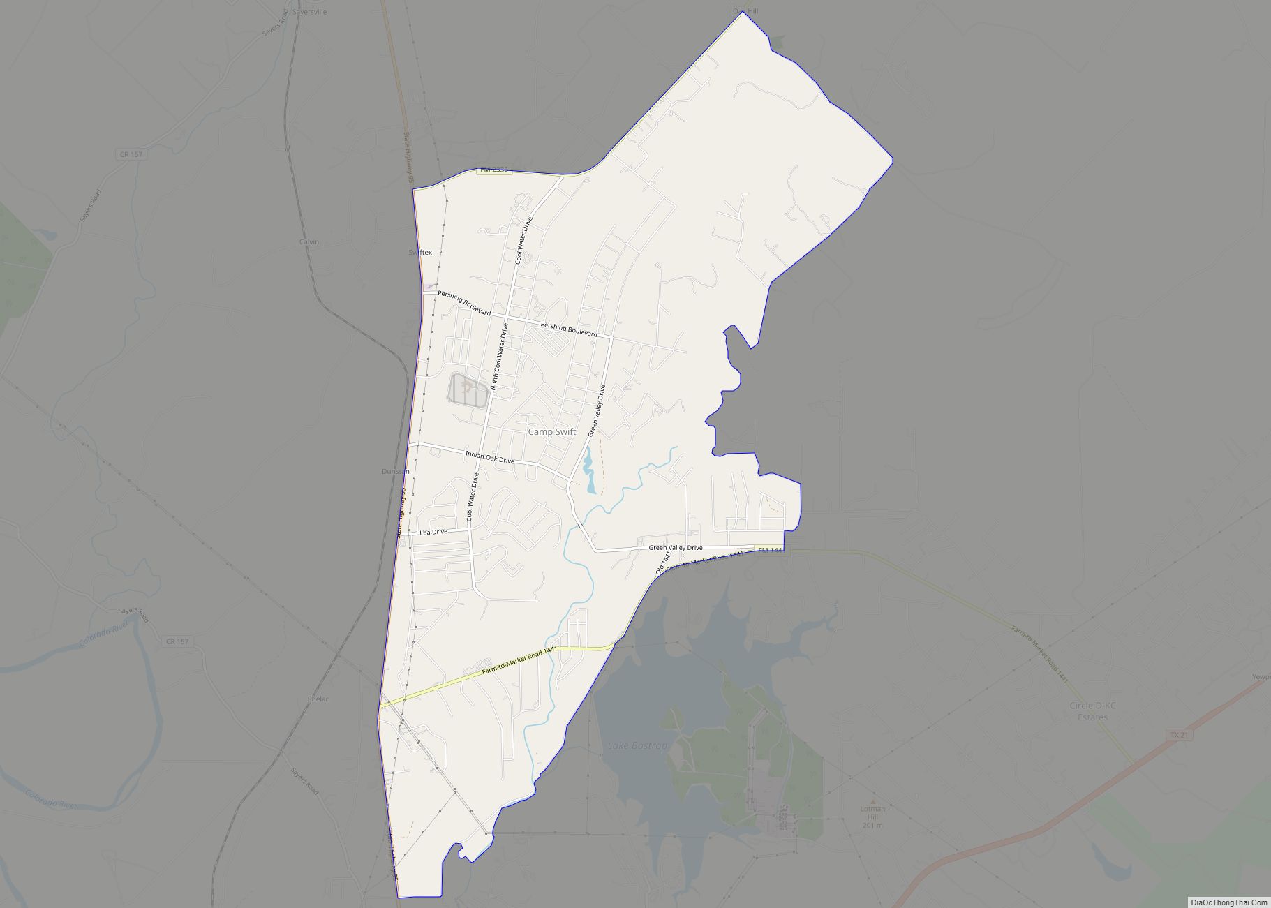
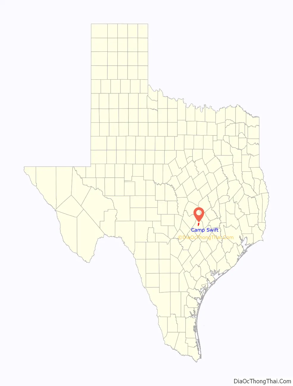
Camp Swift Road Map
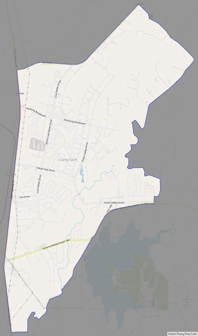
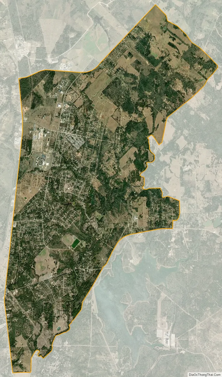
Camp Swift city Satellite Map
Geography
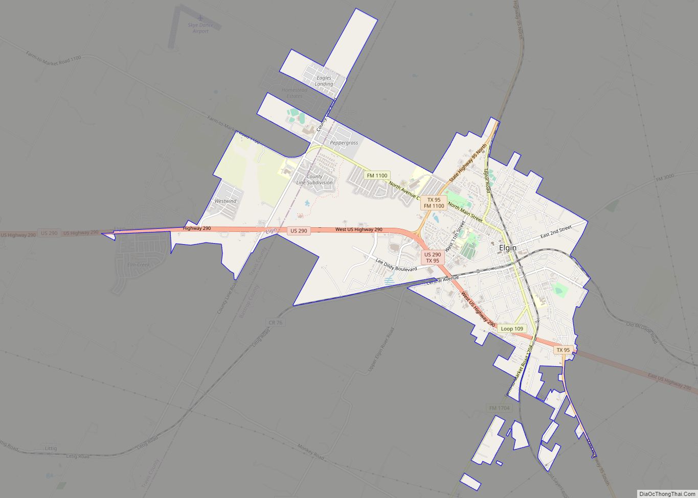
Camp Swift is located north of the center of Bastrop County at 30°11′02″N 97°17′52″W / 30.183879°N 97.297684°W / 30.183879; -97.297684. It is about 37 miles (60 km) east of Austin and 7 miles (11 km) north of Bastrop. Texas State Highway 95 forms the western edge of the community, connecting Bastrop to the south with Elgin to the north.
According to the United States Census Bureau, the CDP has a total area of 12.1 square miles (31.4 km), of which 12.0 square miles (31.2 km) is land and 0.08 square miles (0.2 km), or 0.65%, is water.
See also
Map of Texas State and its subdivision:- Anderson
- Andrews
- Angelina
- Aransas
- Archer
- Armstrong
- Atascosa
- Austin
- Bailey
- Bandera
- Bastrop
- Baylor
- Bee
- Bell
- Bexar
- Blanco
- Borden
- Bosque
- Bowie
- Brazoria
- Brazos
- Brewster
- Briscoe
- Brooks
- Brown
- Burleson
- Burnet
- Caldwell
- Calhoun
- Callahan
- Cameron
- Camp
- Carson
- Cass
- Castro
- Chambers
- Cherokee
- Childress
- Clay
- Cochran
- Coke
- Coleman
- Collin
- Collingsworth
- Colorado
- Comal
- Comanche
- Concho
- Cooke
- Coryell
- Cottle
- Crane
- Crockett
- Crosby
- Culberson
- Dallam
- Dallas
- Dawson
- Deaf Smith
- Delta
- Denton
- Dewitt
- Dickens
- Dimmit
- Donley
- Duval
- Eastland
- Ector
- Edwards
- El Paso
- Ellis
- Erath
- Falls
- Fannin
- Fayette
- Fisher
- Floyd
- Foard
- Fort Bend
- Franklin
- Freestone
- Frio
- Gaines
- Galveston
- Garza
- Gillespie
- Glasscock
- Goliad
- Gonzales
- Gray
- Grayson
- Gregg
- Grimes
- Guadalupe
- Hale
- Hall
- Hamilton
- Hansford
- Hardeman
- Hardin
- Harris
- Harrison
- Hartley
- Haskell
- Hays
- Hemphill
- Henderson
- Hidalgo
- Hill
- Hockley
- Hood
- Hopkins
- Houston
- Howard
- Hudspeth
- Hunt
- Hutchinson
- Irion
- Jack
- Jackson
- Jasper
- Jeff Davis
- Jefferson
- Jim Hogg
- Jim Wells
- Johnson
- Jones
- Karnes
- Kaufman
- Kendall
- Kenedy
- Kent
- Kerr
- Kimble
- King
- Kinney
- Kleberg
- Knox
- La Salle
- Lamar
- Lamb
- Lampasas
- Lavaca
- Lee
- Leon
- Liberty
- Limestone
- Lipscomb
- Live Oak
- Llano
- Loving
- Lubbock
- Lynn
- Madison
- Marion
- Martin
- Mason
- Matagorda
- Maverick
- McCulloch
- McLennan
- McMullen
- Medina
- Menard
- Midland
- Milam
- Mills
- Mitchell
- Montague
- Montgomery
- Moore
- Morris
- Motley
- Nacogdoches
- Navarro
- Newton
- Nolan
- Nueces
- Ochiltree
- Oldham
- Orange
- Palo Pinto
- Panola
- Parker
- Parmer
- Pecos
- Polk
- Potter
- Presidio
- Rains
- Randall
- Reagan
- Real
- Red River
- Reeves
- Refugio
- Roberts
- Robertson
- Rockwall
- Runnels
- Rusk
- Sabine
- San Augustine
- San Jacinto
- San Patricio
- San Saba
- Schleicher
- Scurry
- Shackelford
- Shelby
- Sherman
- Smith
- Somervell
- Starr
- Stephens
- Sterling
- Stonewall
- Sutton
- Swisher
- Tarrant
- Taylor
- Terrell
- Terry
- Throckmorton
- Titus
- Tom Green
- Travis
- Trinity
- Tyler
- Upshur
- Upton
- Uvalde
- Val Verde
- Van Zandt
- Victoria
- Walker
- Waller
- Ward
- Washington
- Webb
- Wharton
- Wheeler
- Wichita
- Wilbarger
- Willacy
- Williamson
- Wilson
- Winkler
- Wise
- Wood
- Yoakum
- Young
- Zapata
- Zavala
- Alabama
- Alaska
- Arizona
- Arkansas
- California
- Colorado
- Connecticut
- Delaware
- District of Columbia
- Florida
- Georgia
- Hawaii
- Idaho
- Illinois
- Indiana
- Iowa
- Kansas
- Kentucky
- Louisiana
- Maine
- Maryland
- Massachusetts
- Michigan
- Minnesota
- Mississippi
- Missouri
- Montana
- Nebraska
- Nevada
- New Hampshire
- New Jersey
- New Mexico
- New York
- North Carolina
- North Dakota
- Ohio
- Oklahoma
- Oregon
- Pennsylvania
- Rhode Island
- South Carolina
- South Dakota
- Tennessee
- Texas
- Utah
- Vermont
- Virginia
- Washington
- West Virginia
- Wisconsin
- Wyoming