Bastrop (/ˈbæstrəp, -trɒp/) is a city and the county seat of Bastrop County, Texas, United States. The population was 9,688 according to the 2020 census. It is located about 30 mi (48 km) southeast of Austin and is part of the Greater Austin metropolitan area.
| Name: | Bastrop city |
|---|---|
| LSAD Code: | 25 |
| LSAD Description: | city (suffix) |
| State: | Texas |
| County: | Bastrop County |
| Elevation: | 367 ft (112 m) |
| Total Area: | 9.34 sq mi (24.20 km²) |
| Land Area: | 9.22 sq mi (23.89 km²) |
| Water Area: | 0.12 sq mi (0.31 km²) |
| Total Population: | 9,688 |
| Population Density: | 1,001.95/sq mi (386.87/km²) |
| ZIP code: | 78602 |
| FIPS code: | 4805864 |
| GNISfeature ID: | 1330128 |
| Website: | www.cityofbastrop.org |
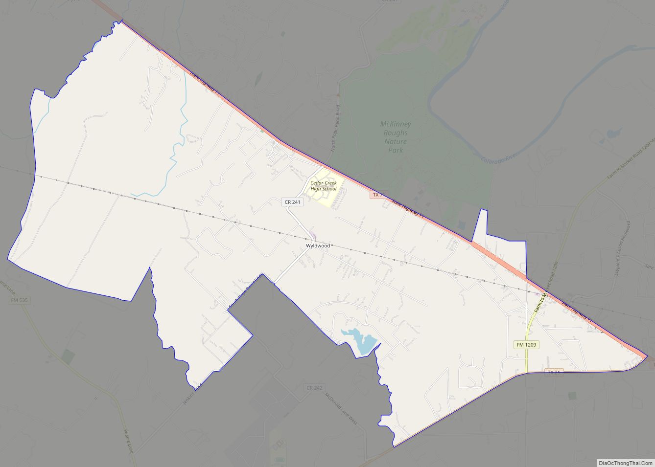
Online Interactive Map
Click on ![]() to view map in "full screen" mode.
to view map in "full screen" mode.
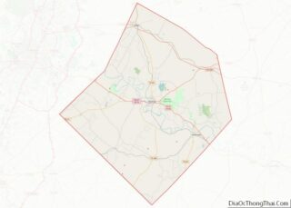
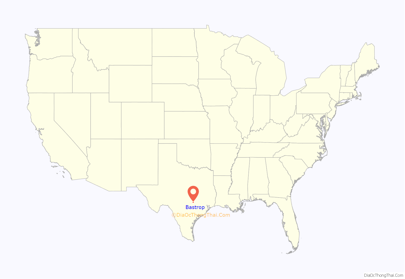
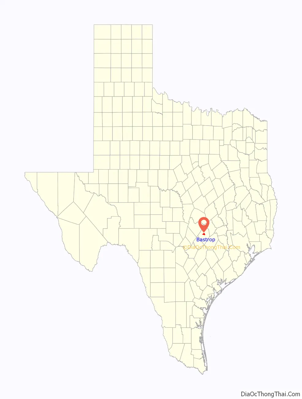
Bastrop location map. Where is Bastrop city?
History
Spanish soldiers lived temporarily at the current site of Bastrop as early as 1804, when a fort was established where the Old San Antonio Road crossed the Colorado River and named Puesta del Colorado.
Bastrop’s namesake, Felipe Enrique Neri, Baron de Bastrop, was a commoner named Philip Hendrik Nering Bogel, who was wanted for embezzlement in his native country of the Netherlands. In Texas, he assisted Moses and Stephen F. Austin in obtaining land grants in Texas and served as Austin’s land commissioner. In 1827, Austin located about 100 families in an area adjacent to his earlier Mexican contracts. Austin arranged for Mexican officials to name a new town there after the baron who died the same year.
On June 8, 1832, the town was platted along conventional Mexican lines, with a square in the center and blocks set aside for public buildings. The town was named Bastrop, but two years later, the Coahuila y Tejas legislature renamed it Mina in honor of Francisco Javier Mina, a Mexican revolutionary hero and martyr. The town was incorporated under the laws of the Republic of Texas on December 18, 1837, and the name was changed back to Bastrop.
Overlooking the center of the town is the Lost Pines Forest. Composed of loblolly pines (Pinus taeda), the forest is the center of the westernmost stand of the southern pine forest. As the only timber available in the area, the forest contributed to the local economy. Bastrop began supplying Austin with lumber in 1839 and then San Antonio, the western Texas frontier, and parts of Mexico.
A fire in 1862 destroyed most of downtown Bastrop’s commercial buildings and the county courthouse. As a result, most current downtown structures postdate the Civil War. In 1979, the National Register of Historic Places admitted 131 Bastrop buildings and sites to its listings. This earned Bastrop the title of the “Most Historic Small Town in Texas”.
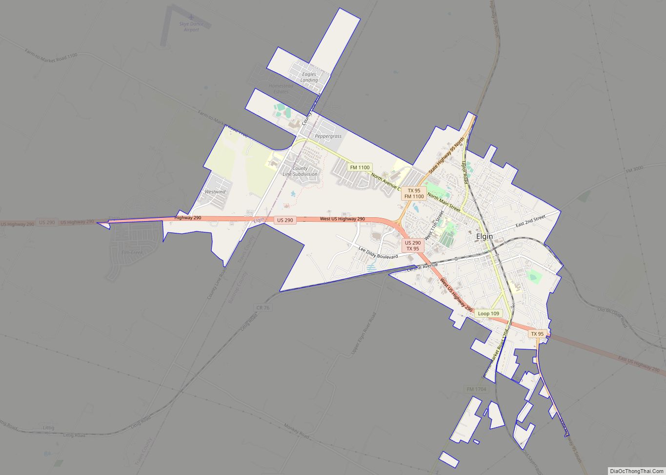
The first edition of the Bastrop Advertiser and County News (now The Bastrop Advertiser) was published on March 1, 1853, giving it claim to be the oldest continuously published weekly (semiweekly since September 5, 1977) in Texas. The wider Bastrop County is also covered by papers such as the Elgin Courier.
On September 4, 2011, two wildfires started when trees fell on power lines. The first fire started in the community of Circle D-KC Estates near Bastrop State Park, and the other fire started about 4 mi (6 km) north. The two fires merged into the Bastrop County Complex fire. This was the worst and most destructive wildfire in Texas history, as it destroyed 1,691 homes, killed two people, and caused $325 million of insured property damage. The drought in Texas at the time combined with strong winds from the Gulf of Mexico caused by Tropical Storm Lee helped fuel the fire.
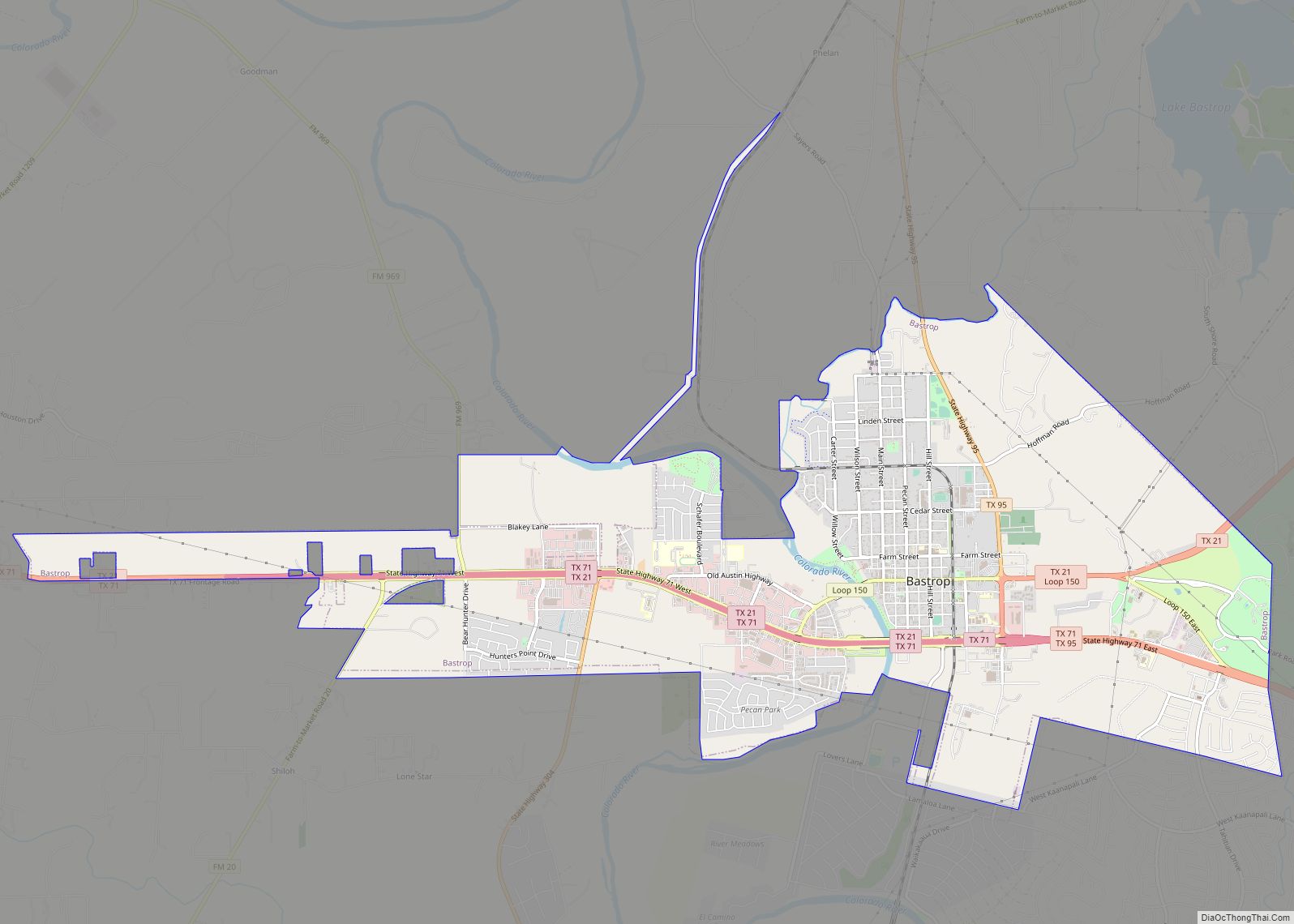
Bastrop Road Map
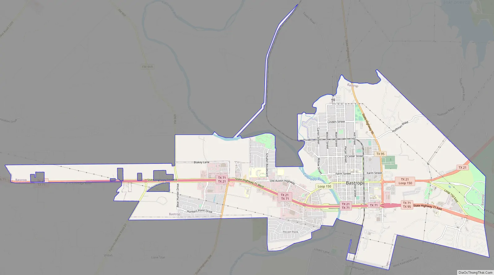
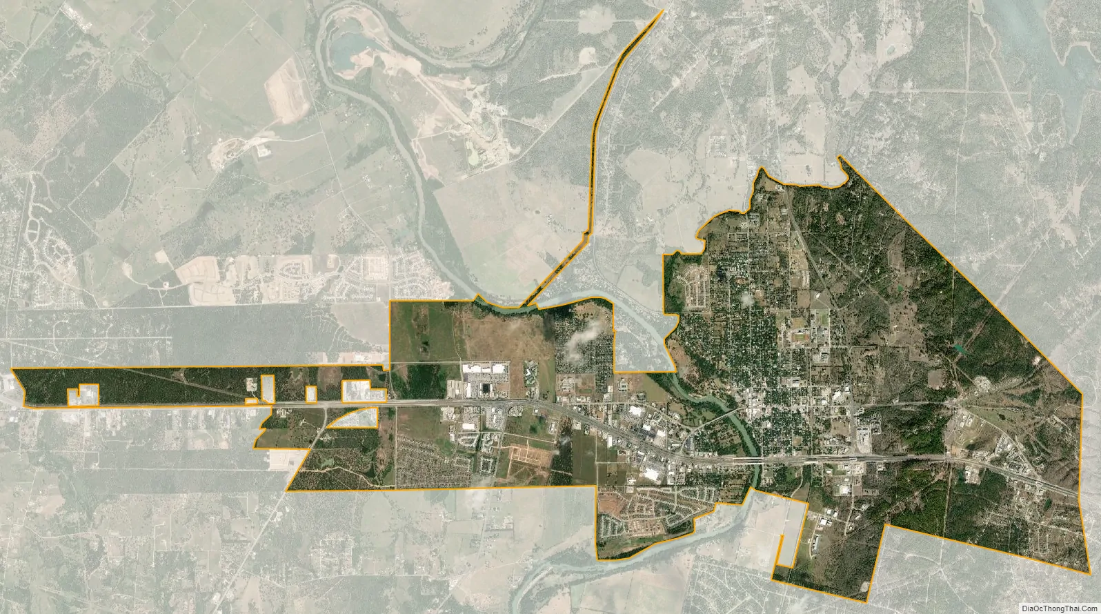
Bastrop city Satellite Map
Geography
Bastrop is located near the center of Bastrop County along the lower Colorado River. The downtown business district of the city is located on a bluff on the east bank of the river, but the city extends to the west side of the river, as well. According to the United States Census Bureau, the city has a total area of 9.1 square miles (23.6 km), of which 9.0 sq mi (23.3 km) are land and 0.12 square miles (0.3 km), or 1.23%, is covered by water.
Three miles (5 km) northeast of the town, Lake Bastrop is a 906-acre (3.67 km) reservoir on Spicer Creek operated by the Lower Colorado River Authority (LCRA) since its impounding in 1964. Although primarily used as a cooling pond for the Sim Gideon Power Plant, the lake is also used for recreation, and the LCRA maintains two public parks on the lake.
Climate
Bastrop tends to be cooler than other central Texas cities, but can reach 100 °F in the summer. Extreme temperatures range from –1 to 111 °F.
See also
Map of Texas State and its subdivision:- Anderson
- Andrews
- Angelina
- Aransas
- Archer
- Armstrong
- Atascosa
- Austin
- Bailey
- Bandera
- Bastrop
- Baylor
- Bee
- Bell
- Bexar
- Blanco
- Borden
- Bosque
- Bowie
- Brazoria
- Brazos
- Brewster
- Briscoe
- Brooks
- Brown
- Burleson
- Burnet
- Caldwell
- Calhoun
- Callahan
- Cameron
- Camp
- Carson
- Cass
- Castro
- Chambers
- Cherokee
- Childress
- Clay
- Cochran
- Coke
- Coleman
- Collin
- Collingsworth
- Colorado
- Comal
- Comanche
- Concho
- Cooke
- Coryell
- Cottle
- Crane
- Crockett
- Crosby
- Culberson
- Dallam
- Dallas
- Dawson
- Deaf Smith
- Delta
- Denton
- Dewitt
- Dickens
- Dimmit
- Donley
- Duval
- Eastland
- Ector
- Edwards
- El Paso
- Ellis
- Erath
- Falls
- Fannin
- Fayette
- Fisher
- Floyd
- Foard
- Fort Bend
- Franklin
- Freestone
- Frio
- Gaines
- Galveston
- Garza
- Gillespie
- Glasscock
- Goliad
- Gonzales
- Gray
- Grayson
- Gregg
- Grimes
- Guadalupe
- Hale
- Hall
- Hamilton
- Hansford
- Hardeman
- Hardin
- Harris
- Harrison
- Hartley
- Haskell
- Hays
- Hemphill
- Henderson
- Hidalgo
- Hill
- Hockley
- Hood
- Hopkins
- Houston
- Howard
- Hudspeth
- Hunt
- Hutchinson
- Irion
- Jack
- Jackson
- Jasper
- Jeff Davis
- Jefferson
- Jim Hogg
- Jim Wells
- Johnson
- Jones
- Karnes
- Kaufman
- Kendall
- Kenedy
- Kent
- Kerr
- Kimble
- King
- Kinney
- Kleberg
- Knox
- La Salle
- Lamar
- Lamb
- Lampasas
- Lavaca
- Lee
- Leon
- Liberty
- Limestone
- Lipscomb
- Live Oak
- Llano
- Loving
- Lubbock
- Lynn
- Madison
- Marion
- Martin
- Mason
- Matagorda
- Maverick
- McCulloch
- McLennan
- McMullen
- Medina
- Menard
- Midland
- Milam
- Mills
- Mitchell
- Montague
- Montgomery
- Moore
- Morris
- Motley
- Nacogdoches
- Navarro
- Newton
- Nolan
- Nueces
- Ochiltree
- Oldham
- Orange
- Palo Pinto
- Panola
- Parker
- Parmer
- Pecos
- Polk
- Potter
- Presidio
- Rains
- Randall
- Reagan
- Real
- Red River
- Reeves
- Refugio
- Roberts
- Robertson
- Rockwall
- Runnels
- Rusk
- Sabine
- San Augustine
- San Jacinto
- San Patricio
- San Saba
- Schleicher
- Scurry
- Shackelford
- Shelby
- Sherman
- Smith
- Somervell
- Starr
- Stephens
- Sterling
- Stonewall
- Sutton
- Swisher
- Tarrant
- Taylor
- Terrell
- Terry
- Throckmorton
- Titus
- Tom Green
- Travis
- Trinity
- Tyler
- Upshur
- Upton
- Uvalde
- Val Verde
- Van Zandt
- Victoria
- Walker
- Waller
- Ward
- Washington
- Webb
- Wharton
- Wheeler
- Wichita
- Wilbarger
- Willacy
- Williamson
- Wilson
- Winkler
- Wise
- Wood
- Yoakum
- Young
- Zapata
- Zavala
- Alabama
- Alaska
- Arizona
- Arkansas
- California
- Colorado
- Connecticut
- Delaware
- District of Columbia
- Florida
- Georgia
- Hawaii
- Idaho
- Illinois
- Indiana
- Iowa
- Kansas
- Kentucky
- Louisiana
- Maine
- Maryland
- Massachusetts
- Michigan
- Minnesota
- Mississippi
- Missouri
- Montana
- Nebraska
- Nevada
- New Hampshire
- New Jersey
- New Mexico
- New York
- North Carolina
- North Dakota
- Ohio
- Oklahoma
- Oregon
- Pennsylvania
- Rhode Island
- South Carolina
- South Dakota
- Tennessee
- Texas
- Utah
- Vermont
- Virginia
- Washington
- West Virginia
- Wisconsin
- Wyoming