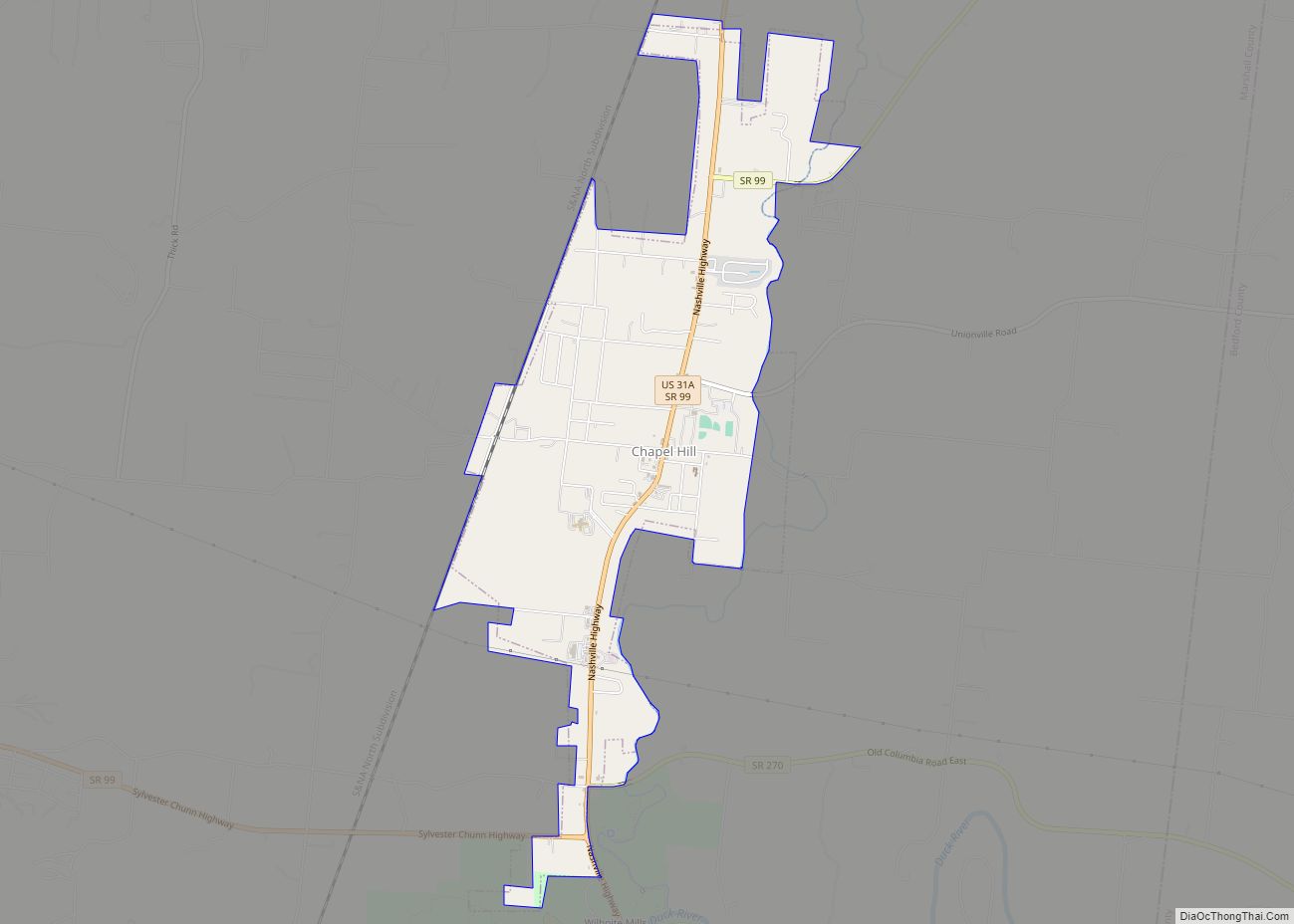
Chapel Hill is a town in northeastern Marshall County, Tennessee, United States. The town was named after Chapel Hill, North Carolina, by settlers from that area. The population was 1,717 as of the 2020 census.
| Name: | Chapel Hill town |
|---|---|
| LSAD Code: | 43 |
| LSAD Description: | town (suffix) |
| State: | Tennessee |
| County: | Marshall County |
| Incorporated: | 1849 |
| Elevation: | 692 ft (211 m) |
| Total Area: | 3.75 sq mi (9.71 km²) |
| Land Area: | 3.75 sq mi (9.71 km²) |
| Water Area: | 0.00 sq mi (0.00 km²) |
| Total Population: | 1,717 |
| Population Density: | 457.87/sq mi (176.79/km²) |
| ZIP code: | 37034 |
| Area code: | 931 |
| FIPS code: | 4712880 |
| GNISfeature ID: | 1269440 |
| Website: | TownofChapelHillTn.com |
Online Interactive Map
Click on ![]() to view map in "full screen" mode.
to view map in "full screen" mode.
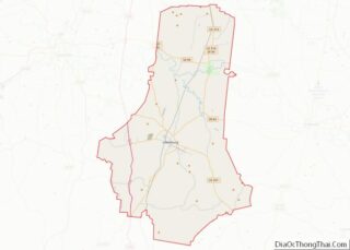
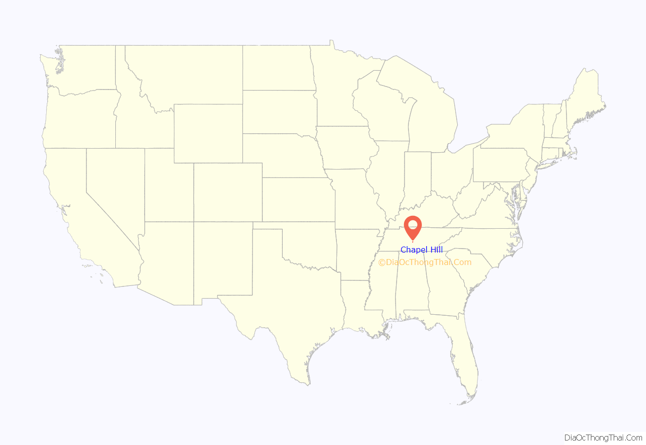
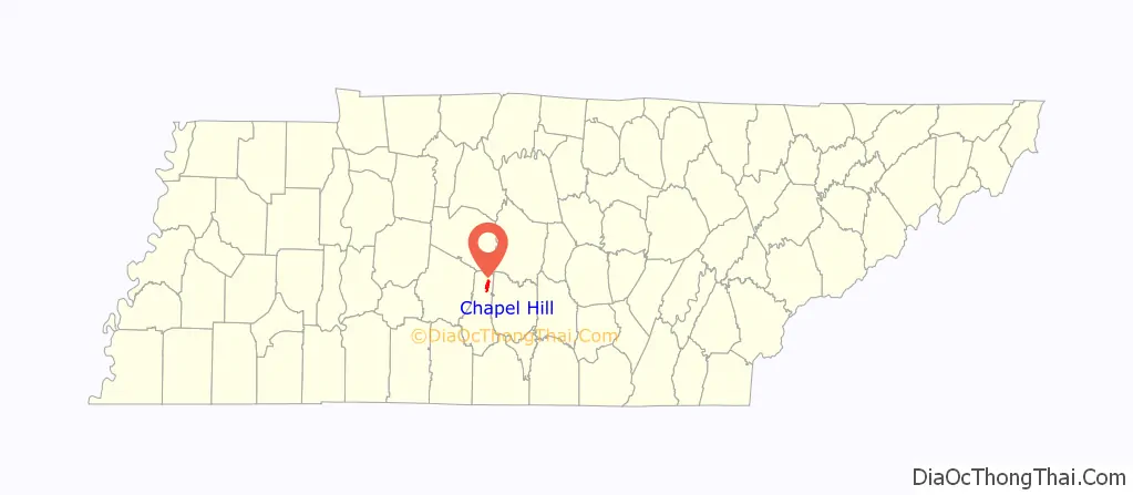
Chapel Hill location map. Where is Chapel Hill town?
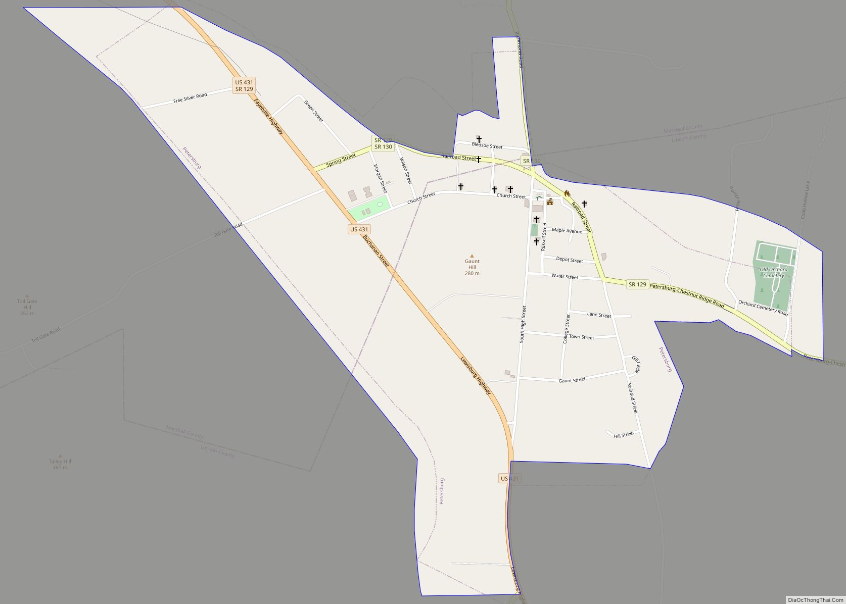
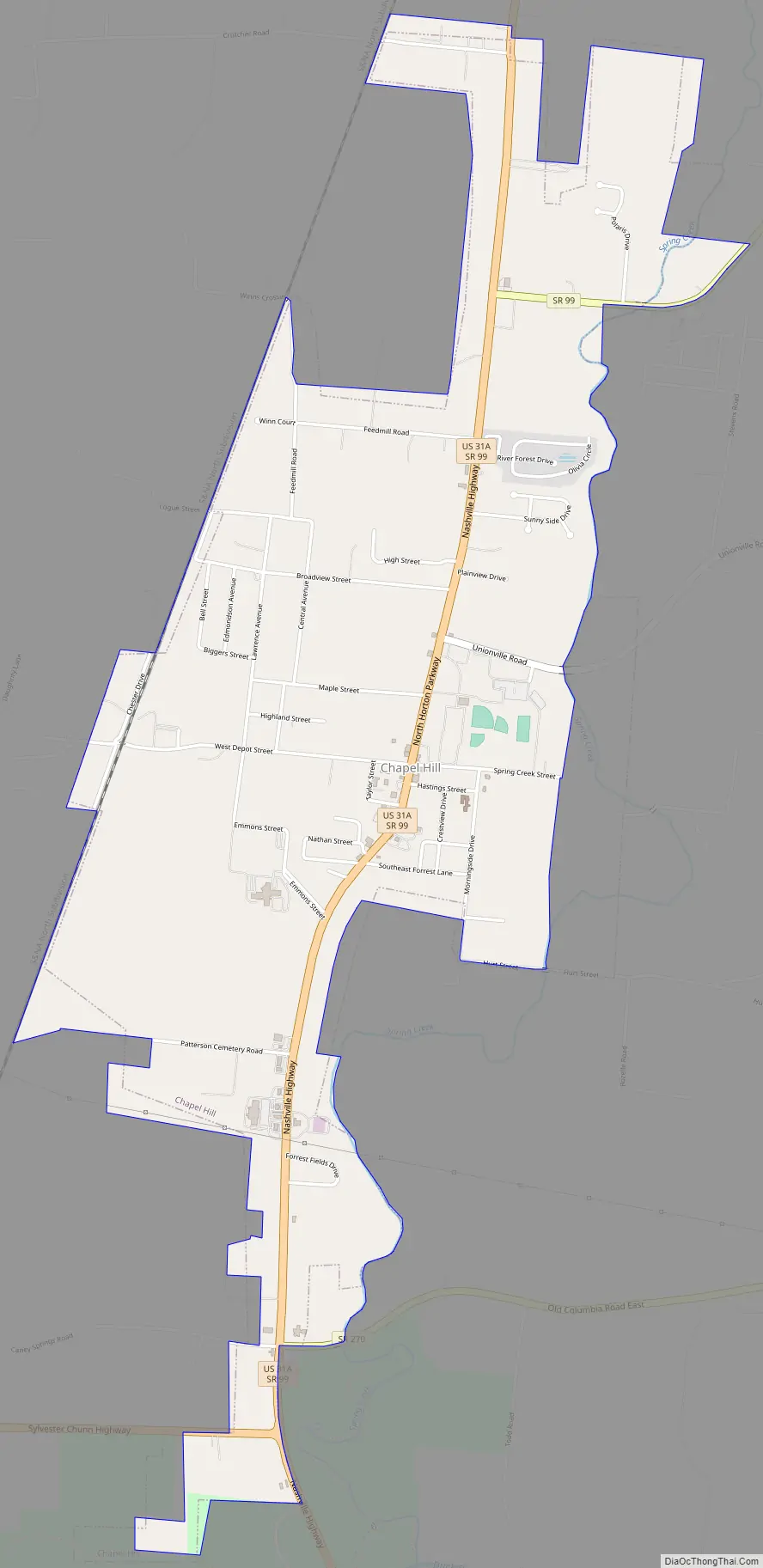
Chapel Hill Road Map
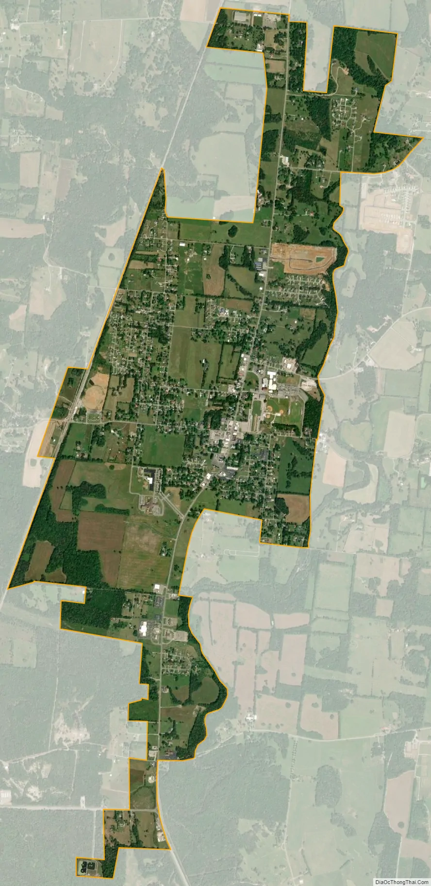
Chapel Hill city Satellite Map
Geography
Chapel Hill is located at 35°37′41″N 86°41′46″W / 35.62806°N 86.69611°W / 35.62806; -86.69611 (35.628154, -86.696203). According to the United States Census Bureau, the town has a total area of 1.4 square miles (3.6 km), all of it land.
Communities
- Caney Springs
- Holts Corner
- Clay Hill – Rich Creek
- Laws Hill
- Farmington
- Verona
Nearby cities and towns
- College Grove
- Columbia
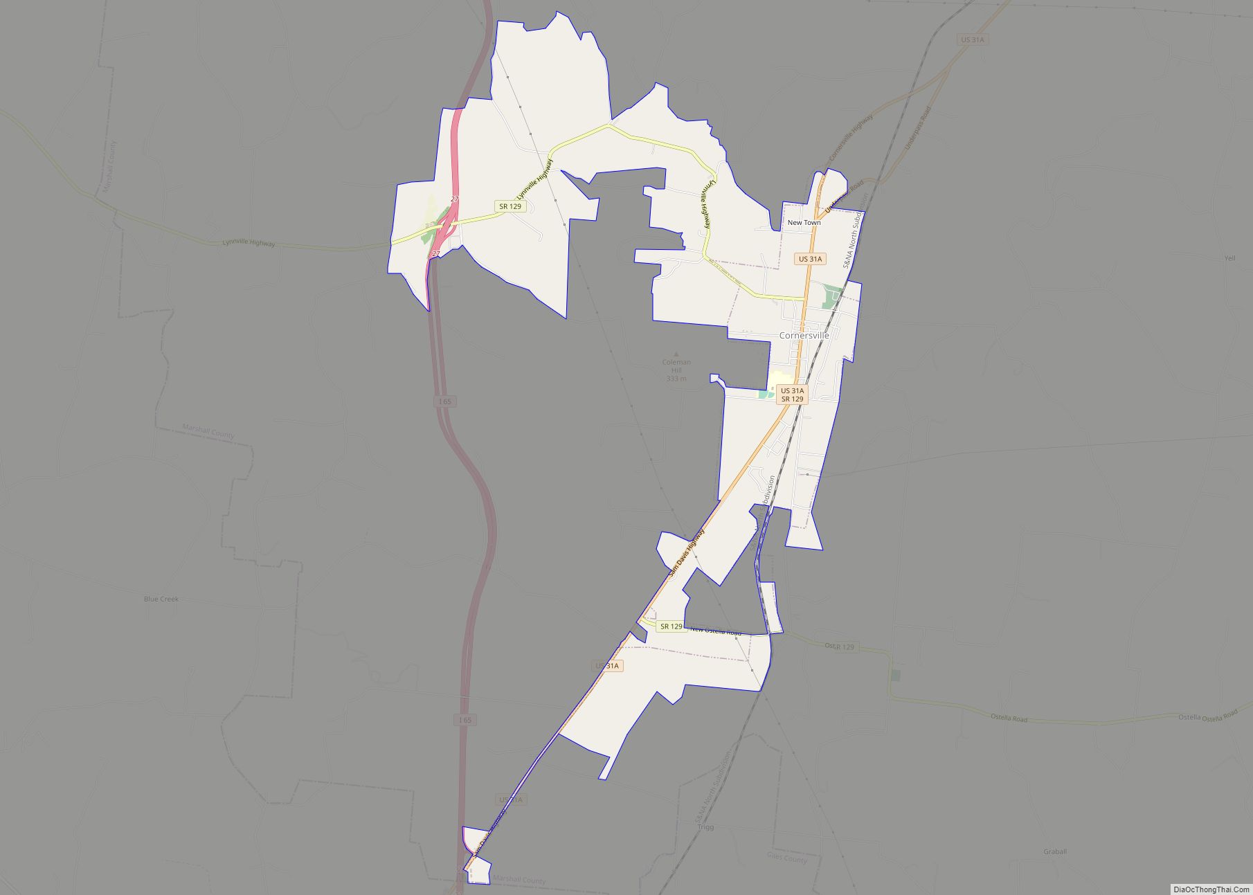
- Cornersville
- Eagleville
- Franklin
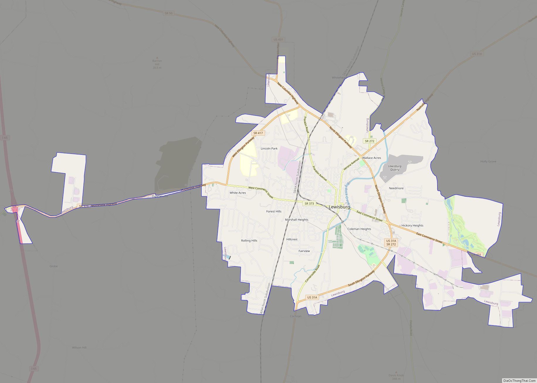
- Lewisburg
- Murfreesboro
- Nashville
- Nolensville
- Shelbyville
- Spring Hill
- Unionville
See also
Map of Tennessee State and its subdivision:- Anderson
- Bedford
- Benton
- Bledsoe
- Blount
- Bradley
- Campbell
- Cannon
- Carroll
- Carter
- Cheatham
- Chester
- Claiborne
- Clay
- Cocke
- Coffee
- Crockett
- Cumberland
- Davidson
- Decatur
- DeKalb
- Dickson
- Dyer
- Fayette
- Fentress
- Franklin
- Gibson
- Giles
- Grainger
- Greene
- Grundy
- Hamblen
- Hamilton
- Hancock
- Hardeman
- Hardin
- Hawkins
- Haywood
- Henderson
- Henry
- Hickman
- Houston
- Humphreys
- Jackson
- Jefferson
- Johnson
- Knox
- Lake
- Lauderdale
- Lawrence
- Lewis
- Lincoln
- Loudon
- Macon
- Madison
- Marion
- Marshall
- Maury
- McMinn
- McNairy
- Meigs
- Monroe
- Montgomery
- Moore
- Morgan
- Obion
- Overton
- Perry
- Pickett
- Polk
- Putnam
- Rhea
- Roane
- Robertson
- Rutherford
- Scott
- Sequatchie
- Sevier
- Shelby
- Smith
- Stewart
- Sullivan
- Sumner
- Tipton
- Trousdale
- Unicoi
- Union
- Van Buren
- Warren
- Washington
- Wayne
- Weakley
- White
- Williamson
- Wilson
- Alabama
- Alaska
- Arizona
- Arkansas
- California
- Colorado
- Connecticut
- Delaware
- District of Columbia
- Florida
- Georgia
- Hawaii
- Idaho
- Illinois
- Indiana
- Iowa
- Kansas
- Kentucky
- Louisiana
- Maine
- Maryland
- Massachusetts
- Michigan
- Minnesota
- Mississippi
- Missouri
- Montana
- Nebraska
- Nevada
- New Hampshire
- New Jersey
- New Mexico
- New York
- North Carolina
- North Dakota
- Ohio
- Oklahoma
- Oregon
- Pennsylvania
- Rhode Island
- South Carolina
- South Dakota
- Tennessee
- Texas
- Utah
- Vermont
- Virginia
- Washington
- West Virginia
- Wisconsin
- Wyoming