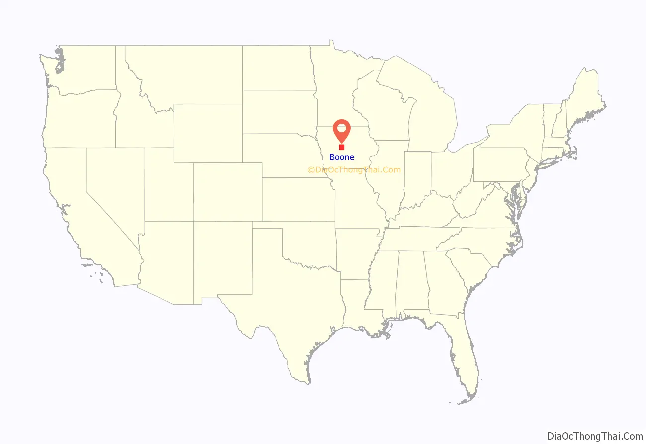
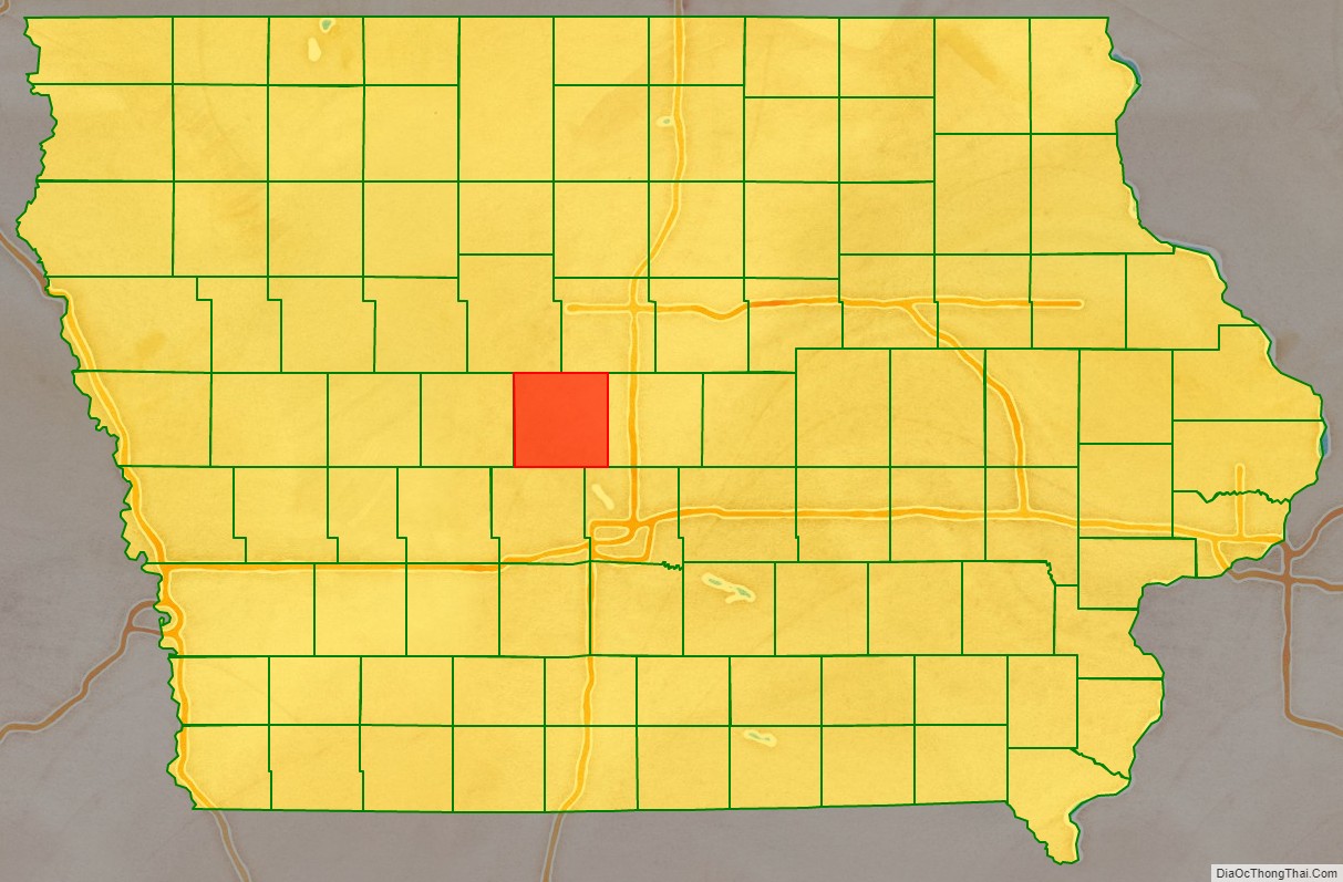
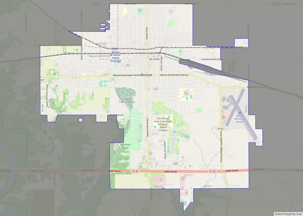
Boone County is a county in the U.S. state of Iowa. As of the 2020 census, the population was 26,715. Its county seat is Boone.
Boone County comprises the Boone, IA Micropolitan Statistical Area, which is included in the Des Moines–Ames–West Des Moines, IA Combined Statistical Area.
| Name: | Boone County |
|---|---|
| FIPS code: | 19-015 |
| State: | Iowa |
| Founded: | January 13, 1846 |
| Seat: | Boone |
| Largest city: | Boone |
| Total Area: | 574 sq mi (1,490 km²) |
| Land Area: | 572 sq mi (1,480 km²) |
| Total Population: | 26,715 |
| Population Density: | 47/sq mi (18/km²) |
| Time zone: | UTC−6 (Central) |
| Summer Time Zone (DST): | UTC−5 (CDT) |
| Website: | www.boonecounty.iowa.gov |
Boone County location map. Where is Boone County?
History
The land that now forms Boone and several other Iowa counties was ceded by the Sac and Fox nation to the United States in a treaty signed on October 11, 1842.
On January 13, 1846, the legislative body of the Indiana Territory authorized creation of twelve counties in the Iowa Territory, with general descriptions of their boundaries. Boone County’s name referred to Captain Nathan Boone, son of Daniel Boone, an American pioneer who formed the Wilderness Trail and founded the settlement of Boonesborough, Kentucky.
County residents selected Boonesboro as the county seat in 1851. The first building erected in the new settlement was a double log house, to be used as interim county office and courthouse. It was supplemented by a two–story building erected in 1856, then replaced by a three-story building in 1868.
The nearby settlement of Montana was incorporated in 1866, when a railway station was built there. It was renamed to Boone in 1871. It continued to grow, and it annexed the settlement of Boonesboro (which had also been incorporated in 1866) in 1887, thus becoming the county seat.
After the second courthouse became too small for the county’s expanding populace, a new building (the present courthouse) replaced it. It was completed in 1917.
Boone County Road Map
Geography
According to the U.S. Census Bureau, the county has a total area of 574 square miles (1,490 km), of which 572 square miles (1,480 km) is land and 2.1 square miles (5.4 km) (0.4%) is water.
Major highways
- U.S. Highway 30 – runs east–west through center of county. Passes Beaver, Ogden, and Jordan.
- U.S. Highway 169 – runs south from Webster County through the west-central portion of Boone County. At its intersection with US 30, U.S. 169 runs east three miles to Ogden, then runs south to Dallas County.
- Iowa Highway 17 – runs south through eastern Boone County to Jordan, west one mile, then south to the boundary line between Dallas and Polk counties.
- Iowa Highway 144 – runs across the southwest tip of the county from northwest to southeast.
- Iowa Highway 210 – enters south line of county at Woodward, then runs east and east-northeast across the southern portion of county to Story County.
Adjacent counties
- Dallas County – south
- Greene County – west
- Hamilton County – north and northeast
- Polk County – south and southeast
- Story County – east
- Webster County – north and northwest


