Boone (/ˈbuːn/ BOON) is a city in Des Moines Township, and county seat of Boone County, Iowa, United States.
It is the principal city of the Boone, Iowa Micropolitan Statistical Area, which encompasses all of Boone County. This micropolitan statistical area, along with the Ames, Iowa Metropolitan Statistical Area comprise the larger Ames-Boone, Iowa Combined Statistical Area. The population of the city was 12,460 at the 2020 census.
| Name: | Boone city |
|---|---|
| LSAD Code: | 25 |
| LSAD Description: | city (suffix) |
| State: | Iowa |
| County: | Boone County |
| Incorporated: | 1849 |
| Elevation: | 1,135 ft (346 m) |
| Total Area: | 9.08 sq mi (23.53 km²) |
| Land Area: | 9.08 sq mi (23.53 km²) |
| Water Area: | 0.00 sq mi (0.00 km²) |
| Total Population: | 12,460 |
| Population Density: | 1,371.64/sq mi (529.57/km²) |
| ZIP code: | 50036-50037 |
| Area code: | 515 |
| FIPS code: | 1907480 |
| GNISfeature ID: | 0454753 |
| Website: | www.boonegov.com |
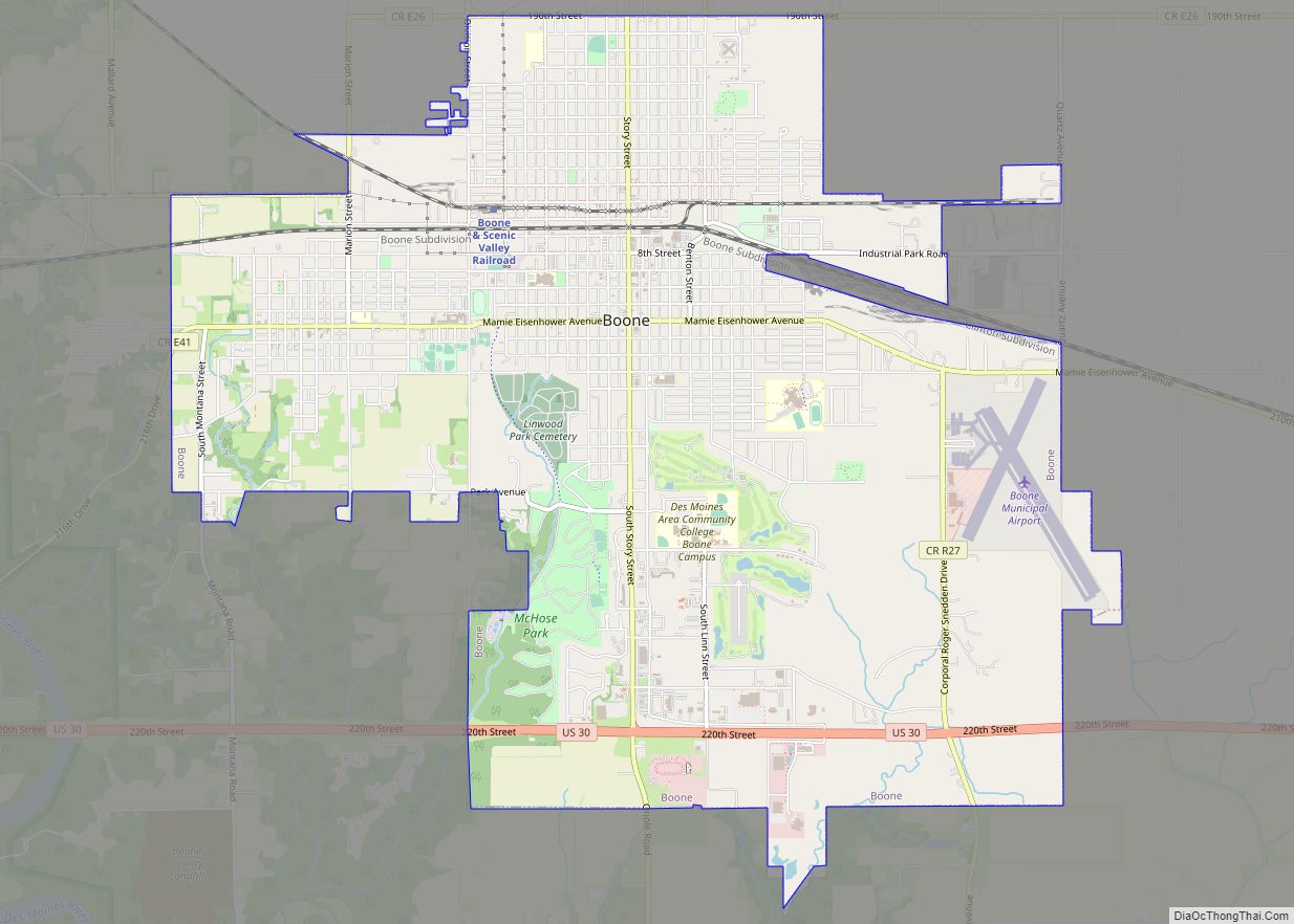
Online Interactive Map
Click on ![]() to view map in "full screen" mode.
to view map in "full screen" mode.
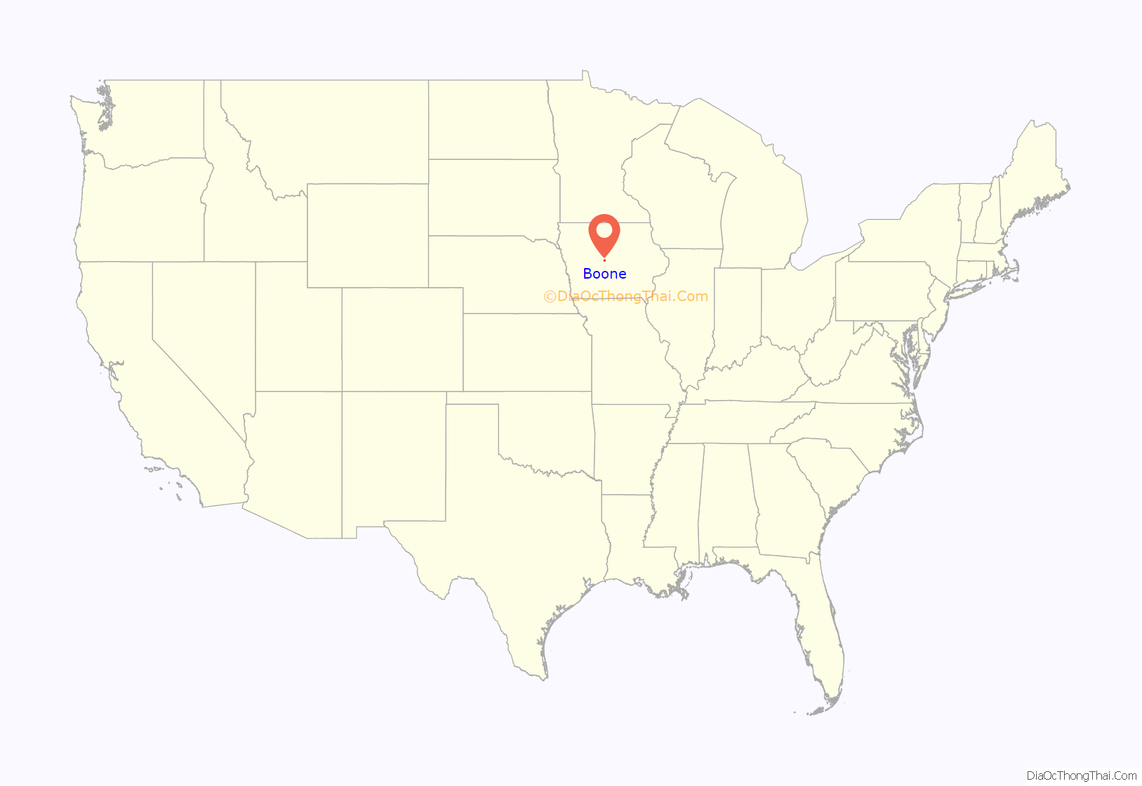
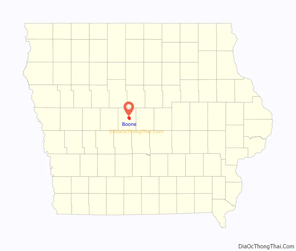
Boone location map. Where is Boone city?
History
Coal mining played an important part in the early history of the Boone area. Local blacksmiths were already mining coal from the banks of Honey Creek south of what became Boone in 1849.
Boone was platted as a town in 1865 by John Insley Blair. It was incorporated the following year, when the Chicago and North Western Transportation Company railroad station was built there. The town was originally named “Montana”; it was renamed to Boone in 1871. The nearby town of Boonesboro was also chartered in 1866; Boonesboro was annexed to Boone in 1887. The present name is a tribute to Nathan Boone, son of explorer Daniel Boone.
Commercial mining was spurred by the arrival of the railroad. In 1867, Canfield and Taylor opened a mine just west of town. Their mine shaft was 242 feet deep, and they hauled coal to the railroad by wagon. In 1874, a railroad spur was built to the mine. This mine was taken over by the railroad, and operated for 30 years. There were coal seams in the Boone area; the upper vein, about 3 feet thick, was always worked using longwall mining, while the lower vein was always mined using room and pillar mining. In 1912, United Mine Workers Local 869 in Boone had 554 members, close to 10% of the population at the time.
The grocery chain Fareway originated in Boone. The company maintains their business offices in town also.
The first Casey’s General Store was founded in Boone, Iowa in 1968.
Other larger businesses that have had or still maintain facilities in Boone include Gates Rubber, Heinrich Envelope, Archway Bakery, Lowe-Berry Seeds, Coca-Cola Bottling, Quinn Iron & Wire Works (now Besser Quinn Machine & Foundry), Mid-States Steel, Sunoco Products, Specialty Leather Productions, Randy’s Frozen Meats, PDM Distribution, ProLiant Biologicals, APC, Thermomass Composite Tech, CDS Global, Patterson Logistics and Stoll Bottling.
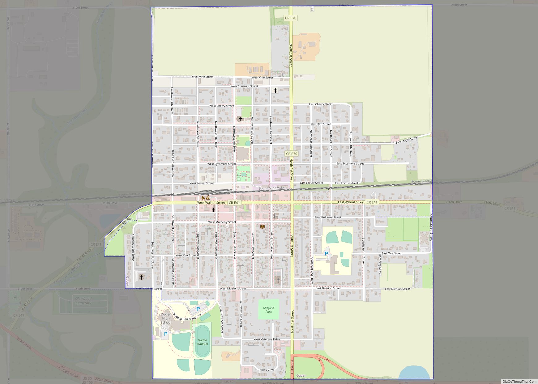
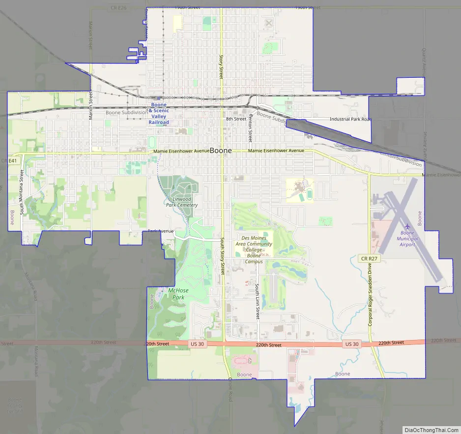
Boone Road Map
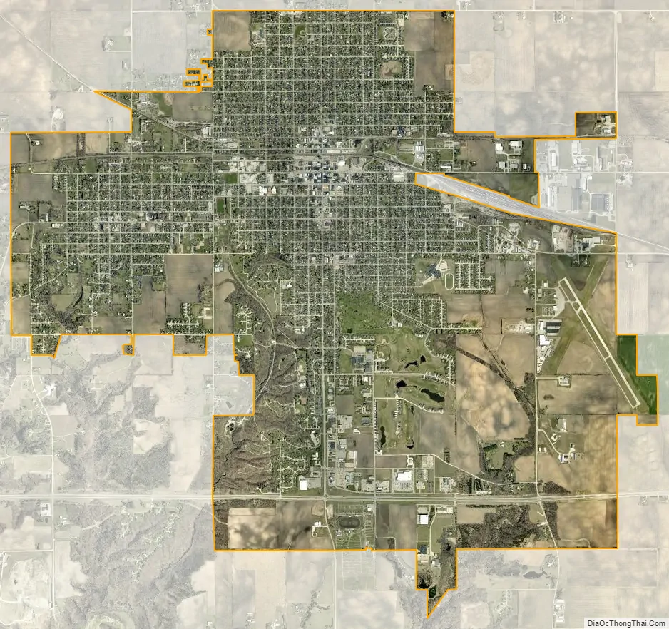
Boone city Satellite Map
Geography
According to the United States Census Bureau, the city has a total area of 9.02 square miles (23.36 km), all land.
Ledges State Park is located four miles south of Boone and is a popular destination.
See also
Map of Iowa State and its subdivision:- Adair
- Adams
- Allamakee
- Appanoose
- Audubon
- Benton
- Black Hawk
- Boone
- Bremer
- Buchanan
- Buena Vista
- Butler
- Calhoun
- Carroll
- Cass
- Cedar
- Cerro Gordo
- Cherokee
- Chickasaw
- Clarke
- Clay
- Clayton
- Clinton
- Crawford
- Dallas
- Davis
- Decatur
- Delaware
- Des Moines
- Dickinson
- Dubuque
- Emmet
- Fayette
- Floyd
- Franklin
- Fremont
- Greene
- Grundy
- Guthrie
- Hamilton
- Hancock
- Hardin
- Harrison
- Henry
- Howard
- Humboldt
- Ida
- Iowa
- Jackson
- Jasper
- Jefferson
- Johnson
- Jones
- Keokuk
- Kossuth
- Lee
- Linn
- Louisa
- Lucas
- Lyon
- Madison
- Mahaska
- Marion
- Marshall
- Mills
- Mitchell
- Monona
- Monroe
- Montgomery
- Muscatine
- O'Brien
- Osceola
- Page
- Palo Alto
- Plymouth
- Pocahontas
- Polk
- Pottawattamie
- Poweshiek
- Ringgold
- Sac
- Scott
- Shelby
- Sioux
- Story
- Tama
- Taylor
- Union
- Van Buren
- Wapello
- Warren
- Washington
- Wayne
- Webster
- Winnebago
- Winneshiek
- Woodbury
- Worth
- Wright
- Alabama
- Alaska
- Arizona
- Arkansas
- California
- Colorado
- Connecticut
- Delaware
- District of Columbia
- Florida
- Georgia
- Hawaii
- Idaho
- Illinois
- Indiana
- Iowa
- Kansas
- Kentucky
- Louisiana
- Maine
- Maryland
- Massachusetts
- Michigan
- Minnesota
- Mississippi
- Missouri
- Montana
- Nebraska
- Nevada
- New Hampshire
- New Jersey
- New Mexico
- New York
- North Carolina
- North Dakota
- Ohio
- Oklahoma
- Oregon
- Pennsylvania
- Rhode Island
- South Carolina
- South Dakota
- Tennessee
- Texas
- Utah
- Vermont
- Virginia
- Washington
- West Virginia
- Wisconsin
- Wyoming