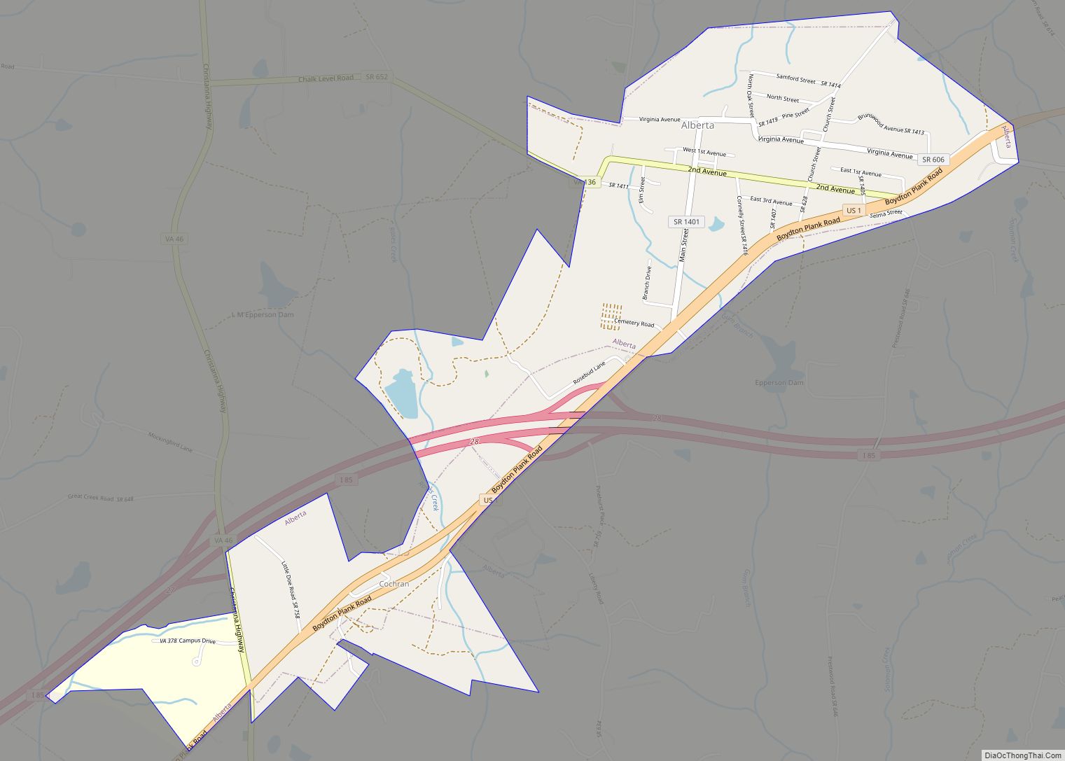
Alberta is a town in Brunswick County, Virginia, United States. The population was 298 at the 2010 census. It is home to the Christanna Campus of Southside Virginia Community College.
| Name: | Alberta town |
|---|---|
| LSAD Code: | 43 |
| LSAD Description: | town (suffix) |
| State: | Virginia |
| County: | Brunswick County |
| Elevation: | 397 ft (121 m) |
| Total Area: | 2.15 sq mi (5.56 km²) |
| Land Area: | 2.13 sq mi (5.53 km²) |
| Water Area: | 0.01 sq mi (0.03 km²) |
| Total Population: | 298 |
| Population Density: | 126.52/sq mi (48.85/km²) |
| ZIP code: | 23821 |
| Area code: | 434 |
| FIPS code: | 5100724 |
| GNISfeature ID: | 1498398 |
| Website: | www.albertava.com |
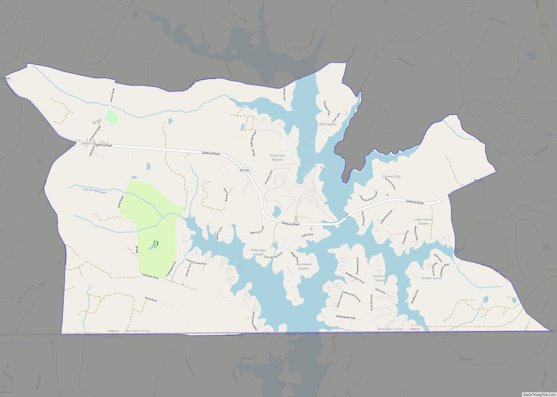
Online Interactive Map
Click on ![]() to view map in "full screen" mode.
to view map in "full screen" mode.
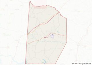
Alberta location map. Where is Alberta town?


History
For much of the 20th century, Alberta marked the junction of two railroad mainlines. The Richmond, Petersburg and Carolina Railroad from Petersburg, Virginia to Ridgeway Junction (today Norlina, North Carolina) was completed in 1900, at which point it was merged into the Seaboard Air Line (SAL). By 1914, the population of Alberta was estimate by the railroad to be somewhere around 100. The Seaboard line (dubbed the “S-line” after later mergers) continued to operate into the 1980s, and today Alberta is along the abandoned portion of the CSX Norlina Subdivision. The Virginian Railway opened in 1907 from Norfolk to Victoria, Virginia, passing through Alberta (with through-service from the coalfields of Appalachia starting in 1909). The Virginian continued in use until it was gradually abandoned following a merger with Norfolk and Western in the later half of the 20th century.
Hobson’s Choice and Rocky Run Methodist Church are listed on the National Register of Historic Places.
Alberta Road Map
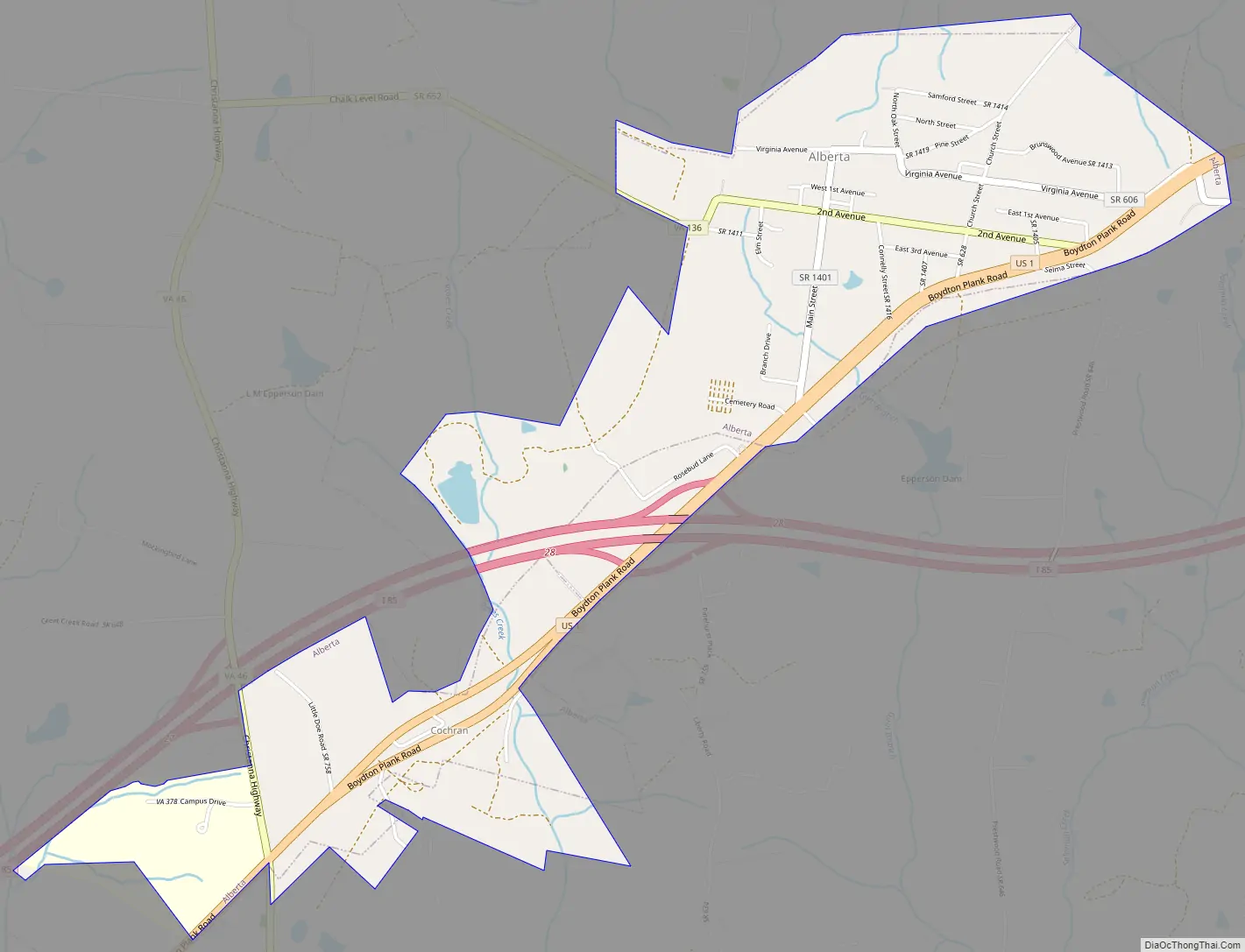
Alberta city Satellite Map

Geography
Alberta is located in north-central Brunswick County along U.S. Route 1. Interstate 85 passes south of the original portion of the town, with access from Exit 28. The town limits extend southwest along Route 1 and I-85 to Virginia State Route 46 and Southside Virginia Community College, with access from I-85 to VA 46 from Exit 27. Via I-85 it is 40 miles (64 km) northeast to Petersburg and 16 miles (26 km) southwest to South Hill.
According to the United States Census Bureau, Alberta has a total area of 2.15 square miles (5.56 km), of which 2.14 square miles (5.53 km) is land and 0.01 square miles (0.03 km), or 0.61%, is water.
See also
Map of Virginia State and its subdivision:- Accomack
- Albemarle
- Alexandria
- Alleghany
- Amelia
- Amherst
- Appomattox
- Arlington
- Augusta
- Bath
- Bedford
- Bedford City
- Bland
- Botetourt
- Bristol
- Brunswick
- Buchanan
- Buckingham
- Buena Vista
- Campbell
- Caroline
- Carroll
- Charles City
- Charlotte
- Charlottesville
- Chesapeake
- Chesterfield
- Clarke
- Clifton Forge City
- Colonial Heights
- Covington
- Craig
- Culpeper
- Cumberland
- Danville
- Dickenson
- Dinwiddie
- Emporia
- Essex
- Fairfax
- Fairfax City
- Falls Church
- Fauquier
- Floyd
- Fluvanna
- Franklin
- Frederick
- Fredericksburg
- Galax
- Giles
- Gloucester
- Goochland
- Grayson
- Greene
- Greensville
- Halifax
- Hampton
- Hanover
- Harrisonburg
- Henrico
- Henry
- Highland
- Hopewell
- Isle of Wight
- James City
- King and Queen
- King George
- King William
- Lancaster
- Lee
- Lexington
- Loudoun
- Louisa
- Lunenburg
- Lynchburg
- Madison
- Manassas
- Manassas Park
- Martinsville
- Mathews
- Mecklenburg
- Middlesex
- Montgomery
- Nelson
- New Kent
- Newport News
- Norfolk
- Northampton
- Northumberland
- Norton
- Nottoway
- Orange
- Page
- Patrick
- Petersburg
- Pittsylvania
- Poquoson
- Portsmouth
- Powhatan
- Prince Edward
- Prince George
- Prince William
- Pulaski
- Radford
- Rappahannock
- Richmond
- Roanoke
- Roanoke City
- Rockbridge
- Rockingham
- Russell
- Salem
- Scott
- Shenandoah
- Smyth
- Southampton
- Spotsylvania
- Stafford
- Staunton
- Suffolk
- Surry
- Sussex
- Tazewell
- Virginia Beach
- Warren
- Washington
- Waynesboro
- Westmoreland
- Williamsburg
- Winchester
- Wise
- Wythe
- York
- Alabama
- Alaska
- Arizona
- Arkansas
- California
- Colorado
- Connecticut
- Delaware
- District of Columbia
- Florida
- Georgia
- Hawaii
- Idaho
- Illinois
- Indiana
- Iowa
- Kansas
- Kentucky
- Louisiana
- Maine
- Maryland
- Massachusetts
- Michigan
- Minnesota
- Mississippi
- Missouri
- Montana
- Nebraska
- Nevada
- New Hampshire
- New Jersey
- New Mexico
- New York
- North Carolina
- North Dakota
- Ohio
- Oklahoma
- Oregon
- Pennsylvania
- Rhode Island
- South Carolina
- South Dakota
- Tennessee
- Texas
- Utah
- Vermont
- Virginia
- Washington
- West Virginia
- Wisconsin
- Wyoming