Surry County is a county in the Commonwealth of Virginia. As of the 2020 census, the population was 6,561.
In 1652, Surry County was formed from the portion of James City County south of the James River. For more than 350 years it has depended on an agricultural economy. The county has 19 sites listed on the National Register, including a landmark occupied in 1676 known as Bacon’s Castle and Chippokes Plantation (now a state park). The Jamestown Ferry provides easy access to Virginia’s Historic Triangle, featuring Jamestown, Williamsburg, and Yorktown, linked by the National Park Service’s Colonial Parkway.
The county is known for farming, curing Virginia Hams, and harvesting lumber, notably Virginia pine.
| Name: | Surry County |
|---|---|
| FIPS code: | 51-181 |
| State: | Virginia |
| Founded: | 1652 |
| Named for: | Surrey |
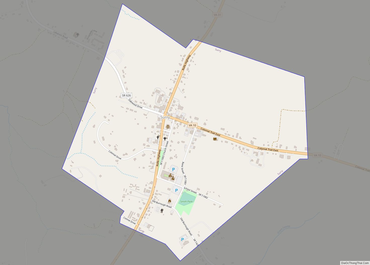
| Seat: | Surry |
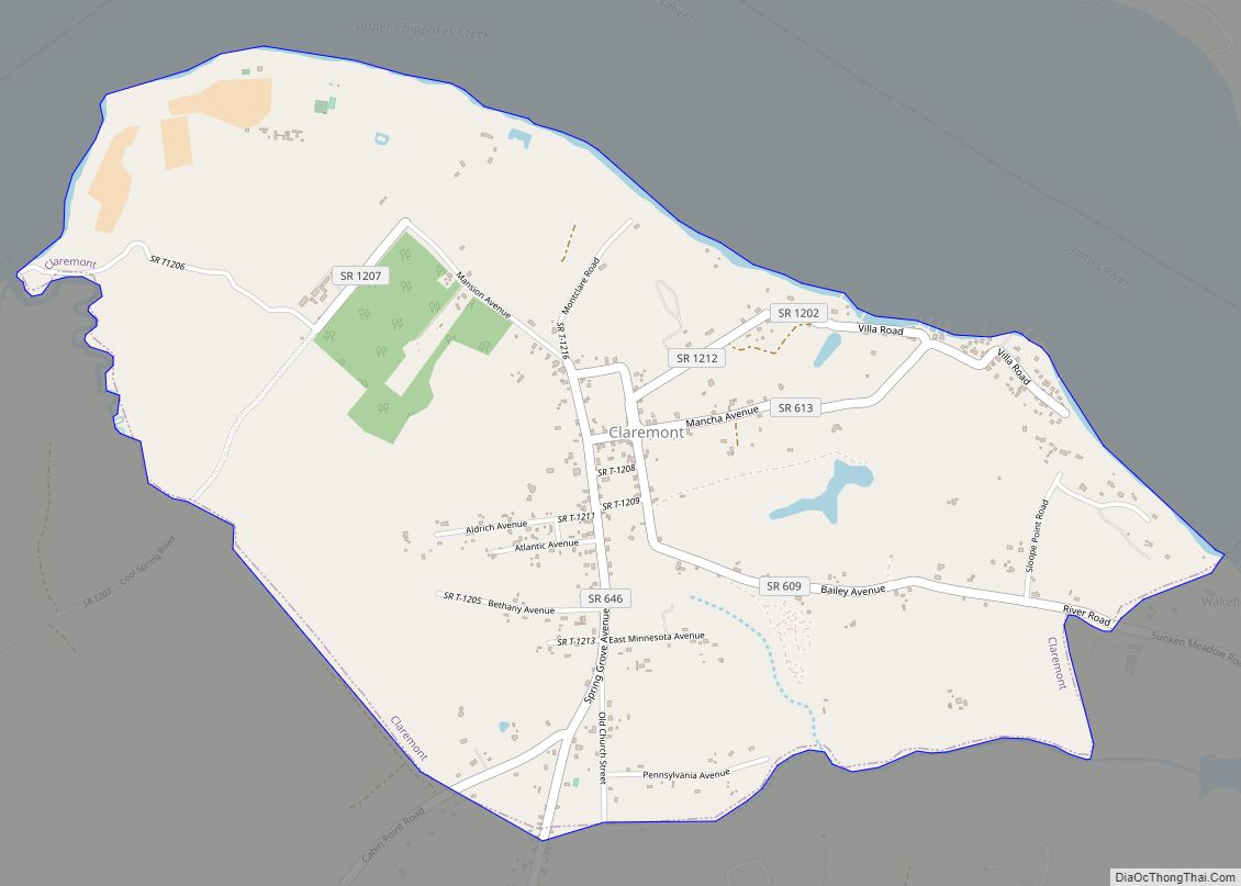
| Largest town: | Claremont |
| Total Area: | 310 sq mi (800 km²) |
| Land Area: | 279 sq mi (720 km²) |
| Total Population: | 6,561 |
| Population Density: | 21/sq mi (8.2/km²) |
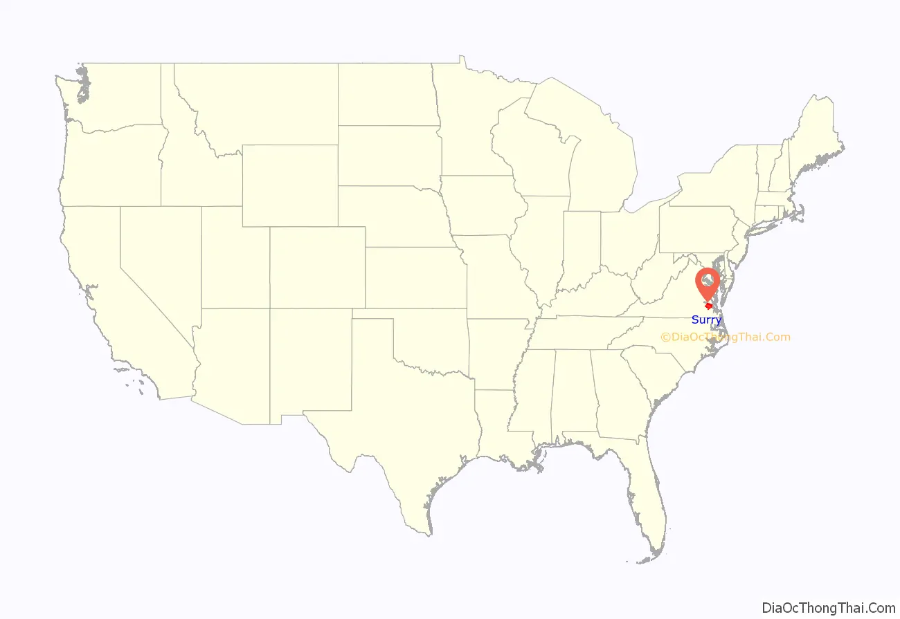
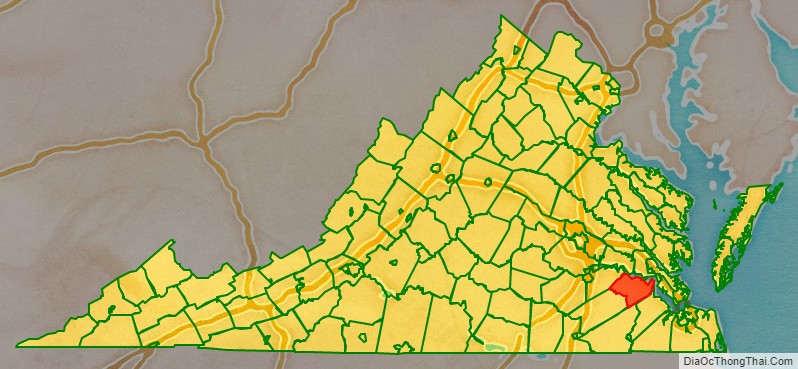
Surry County location map. Where is Surry County?
History
During the times of the Virginia Colony, Surry County was formed in 1652 from a portion of James City County (one of the original 8 counties formed in 1634) south of the James River. It was named for the English county of Surrey. Surry County initially consisted of two parishes of the Church of England: Lawne’s Creek and Southwark.
Nearby, in 1665, Arthur Allen built a Jacobean brick house. A decade later it became known as Bacon’s Castle because it was occupied as a fort or “castle” during Bacon’s Rebellion against the Royal Governor, Sir William Berkeley. (Nathaniel Bacon never lived at Bacon’s Castle, but rather at Curles Neck Plantation in Henrico County, about 30 miles upriver on the James River’s northern bank).
The first town, Cobham, was established in 1691 at the mouth of Gray’s Creek, where it flows into the James River. Neighboring Sussex County was formed from the southwestern end of Surry County in 1754. After the American Revolutionary War, during which Tarleton’s raiders looted the county, Surry County became part of the new Commonwealth of Virginia, one of the first 13 United States.
During the American Civil War, the Confederate Army included the Surry Light Artillery and the Surry Cavalry.
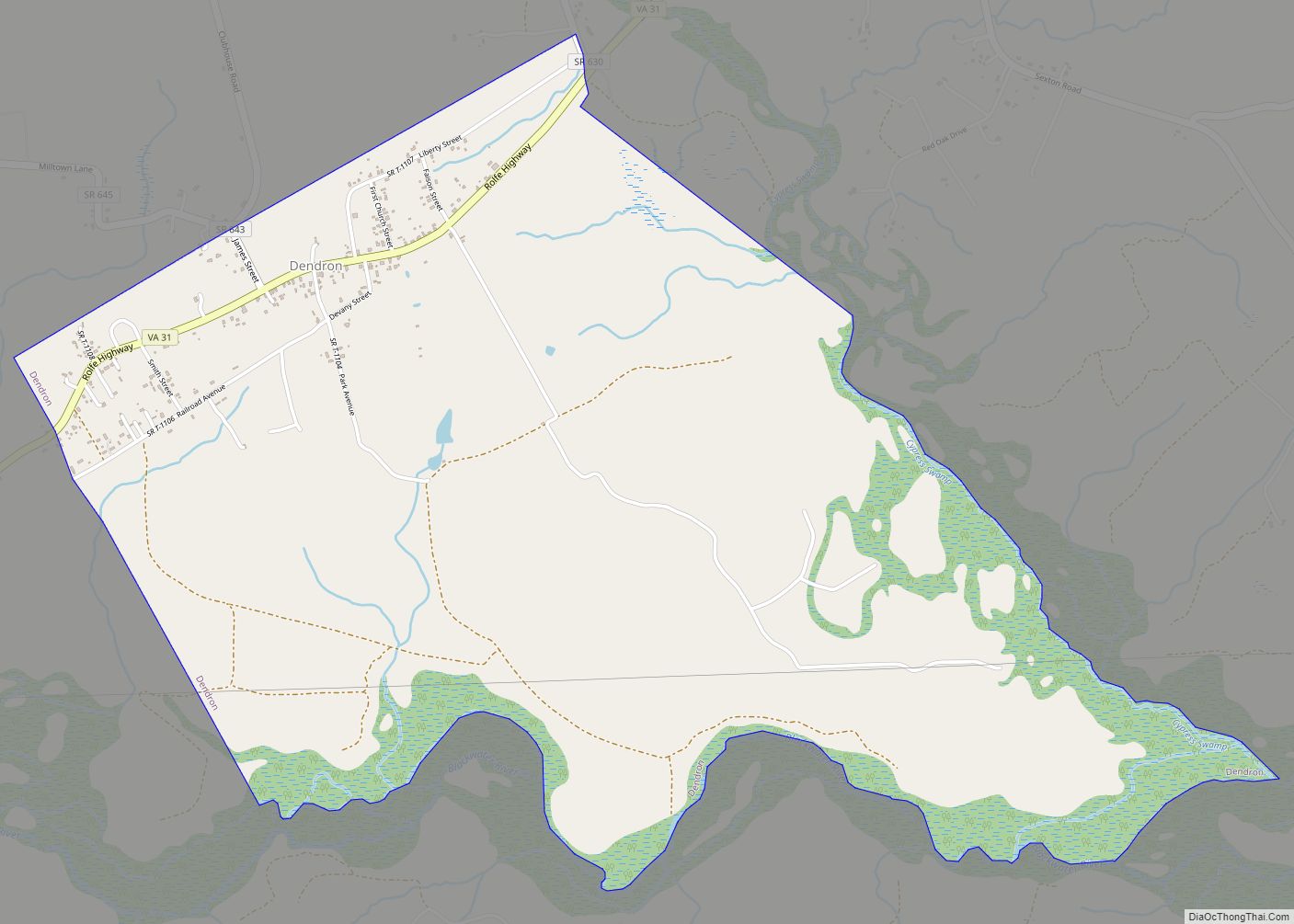
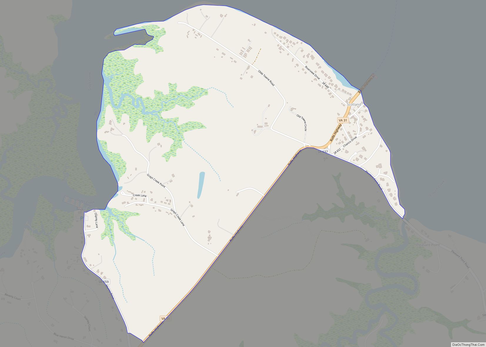
In 1873, a New Jersey timberman, David Steele, with financing from Baltimore interests, began a lumber business in Surry County but went bankrupt a decade later. Baltimore investors Waters and Company incorporated the Surry Lumber Company in 1885. In 1886 it incorporated the Surry, Sussex, and Southampton Railway, which delivered lumber to Scotland wharf on the James River (now the Jamestown Ferry terminal). The company (headquartered at Sedley, Virginia) and SS&S railroad grew, reaching their heyday around 1920. But the company did not replant after it cut the old-growth pine, and found further logging in the area difficult after 1925.
In 1927, it closed its mills in Dendron, Virginia, causing considerable economic distress in the county. The railway went bankrupt in 1930. Gray Lumber Company of Waverly, Virginia, which replanted its timber cuts, bought 15,000 acres from the Surry Lumber Company in 1941, and other companies soon bought the rest of the company’s acreage.
The Temperance, Industrial and Collegiate Institute, a school for African Americans, was located in Surry County from 1892 to 1928. A Virginia State Historic Marker is located at the site of the former campus in Claremont, and a memorial to the school’s founded, John Jefferson Smallwood, is located at the Abundant Life Church Cemetery in Spring Grove.
As part of Virginia’s “Massive Resistance” to integration following Brown v. Board of Education, Surry County closed its white public schools so no black students could attend. Foundation’s School, a private, whites-only school was established. Grants and other provisions were made to provide public support for private education for the white students affected.
The two-unit Surry Nuclear Power Plant was commissioned in 1972 and 1973 and is expected to remain active until 2053.
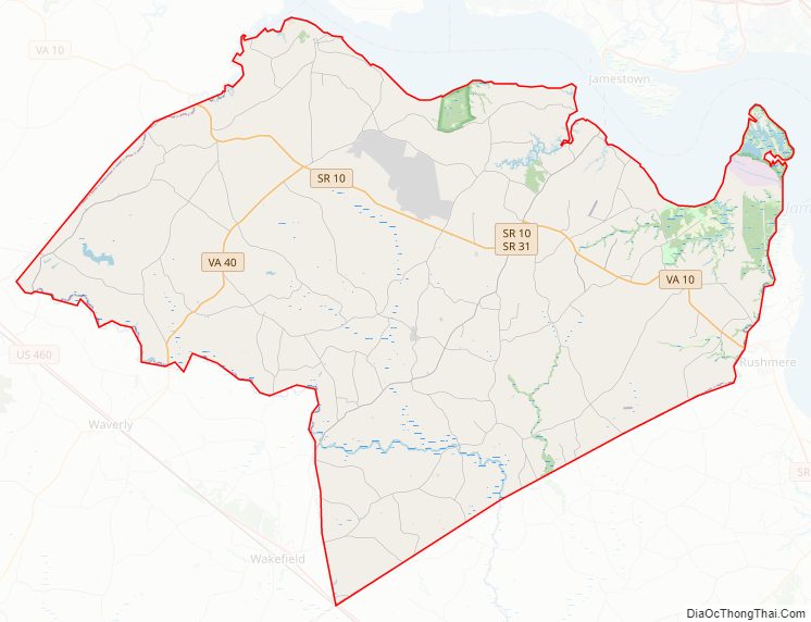
Surry County Road Map
Geography
According to the U.S. Census Bureau, the county has a total area of 310 square miles (800 km), of which 279 square miles (720 km) is land and 31 square miles (80 km) (10.1%) is water.
Adjacent counties
- Charles City County (northwest)
- Isle of Wight County (southeast)
- James City County (northeast)
- Prince George County (west)
- Southampton County (south)
- Sussex County (southwest)
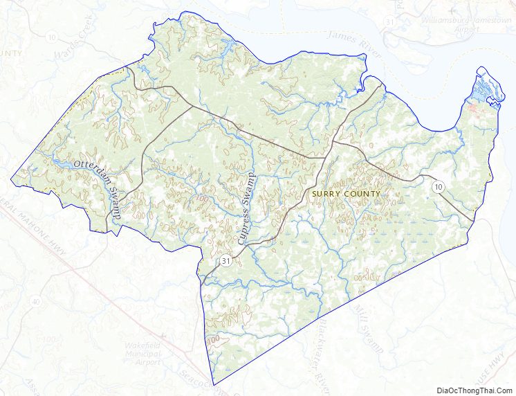
Surry County Topographic Map
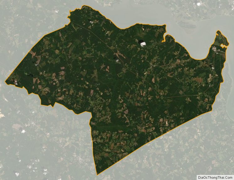
Surry County Satellite Map
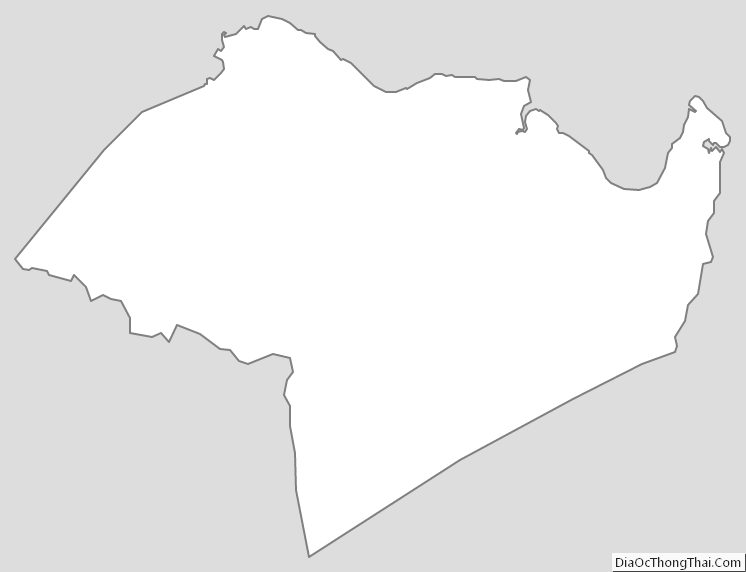
Surry County Outline Map