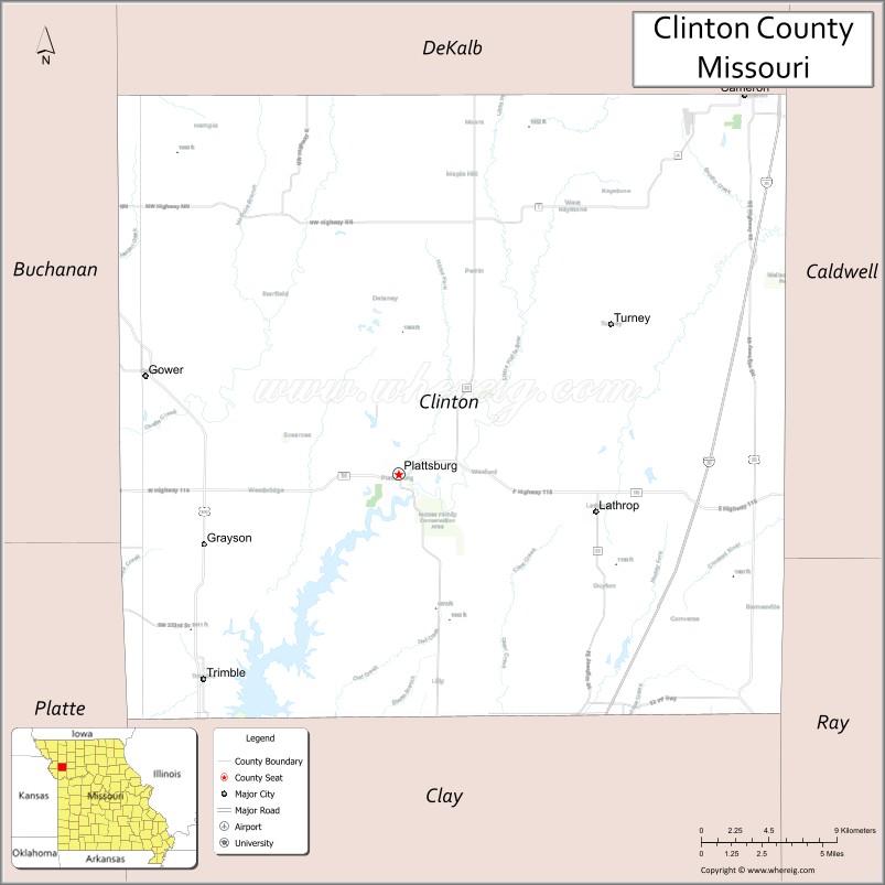
Clinton County is a county located in the U.S. state of Missouri and is part of the Kansas City metropolitan area. As of the 2010 U.S. Census, the county had a population of 20,743. Its county seat is Plattsburg. The county was organized January 2, 1833 and named for Governor DeWitt Clinton of New York. The county seat of Plattsburg derives its name from a town of a similar name that is the county seat of Clinton County, New York, which was also named for the Governor.
| Name: | Clinton County |
|---|---|
| FIPS code: | 29-049 |
| State: | Missouri |
| Founded: | January 2, 1833 |
| Named for: | DeWitt Clinton |
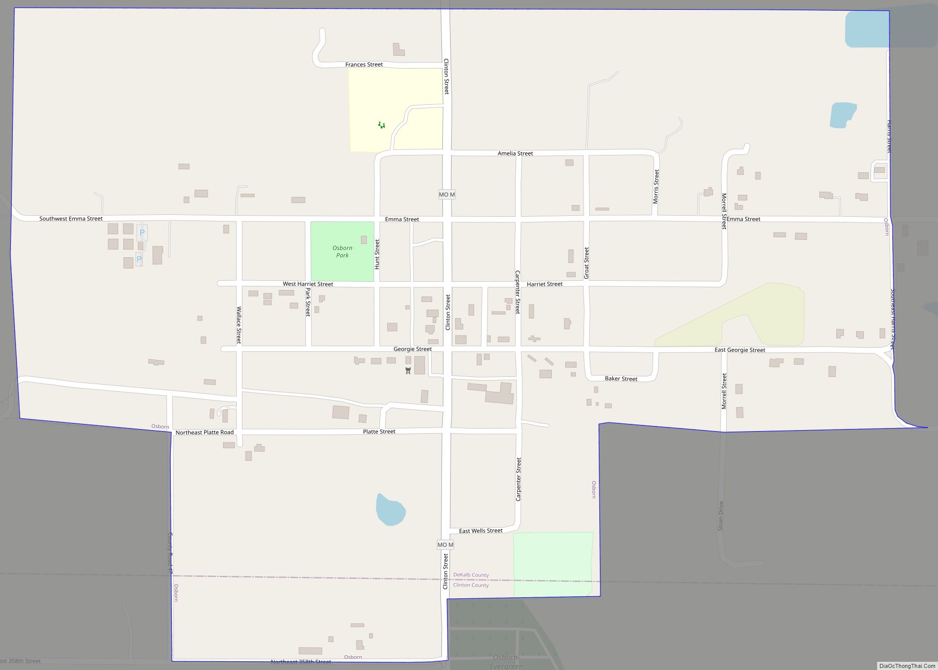
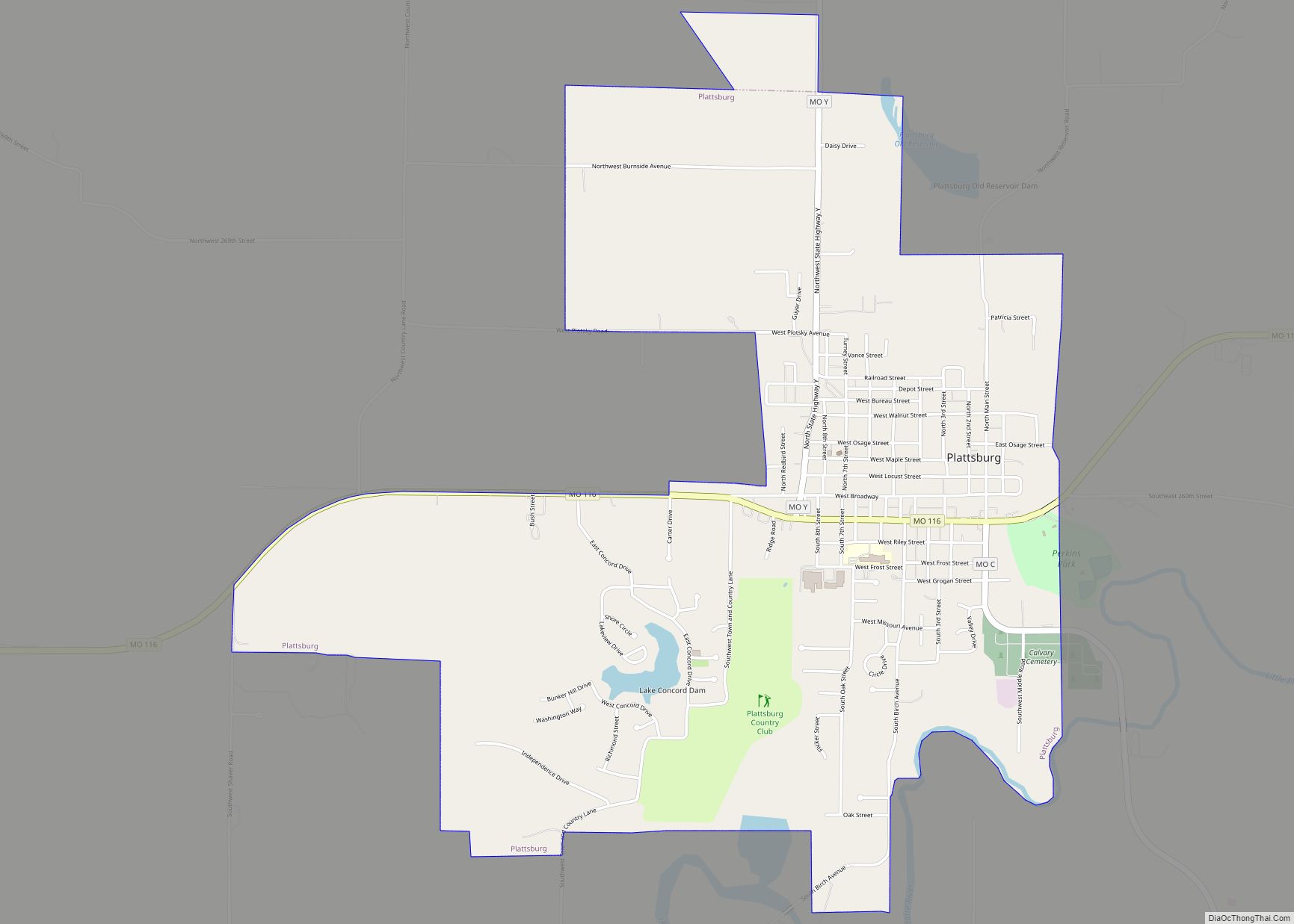
| Seat: | Plattsburg |
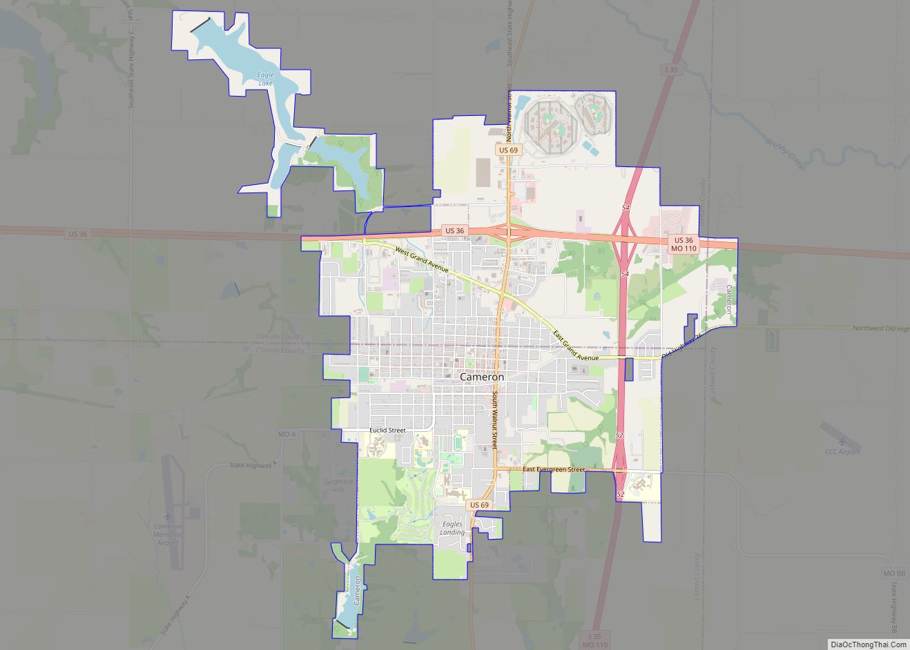
| Largest city: | Cameron |
| Total Area: | 423 sq mi (1,100 km²) |
| Land Area: | 419 sq mi (1,090 km²) |
| Total Population: | 20,743 |
| Population Density: | 49/sq mi (19/km²) |
| Time zone: | UTC−6 (Central) |
| Summer Time Zone (DST): | UTC−5 (CDT) |
| Website: | www.clintoncomo.org |
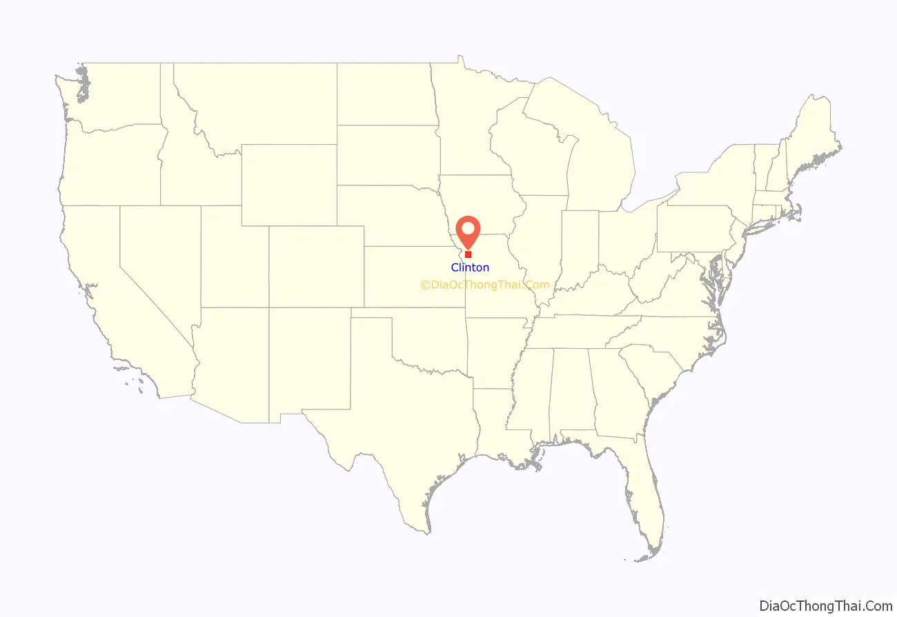
Clinton County location map. Where is Clinton County?
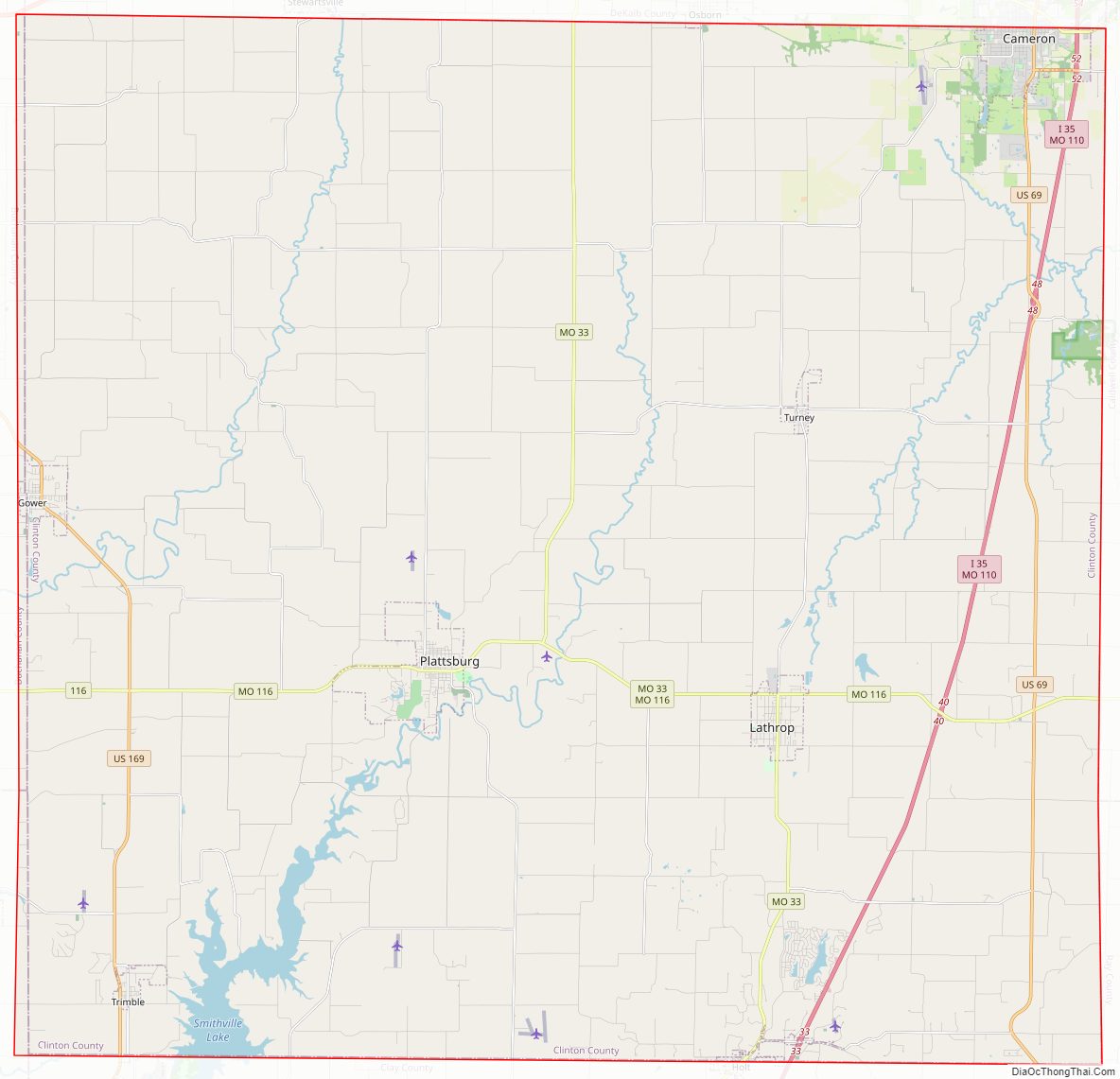
Clinton County Road Map
Geography
According to the U.S. Census Bureau, the county has a total area of 423 square miles (1,100 km), of which 419 square miles (1,090 km) is land and 4.5 square miles (12 km) (1.1%) is water.
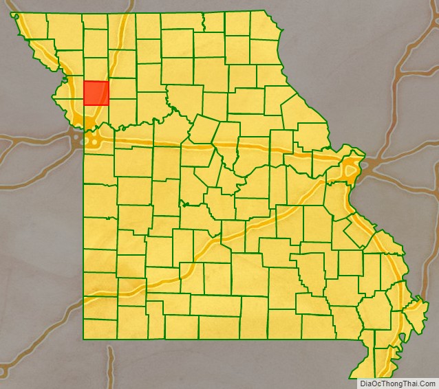
Adjacent counties
- DeKalb County (north)
- Caldwell County (east)
- Ray County (southeast)
- Clay County (south)
- Platte County (southwest)
- Buchanan County (west)
Major highways
- Interstate 35
- U.S. Route 69
- U.S. Route 169
- Route 33
- Route 116
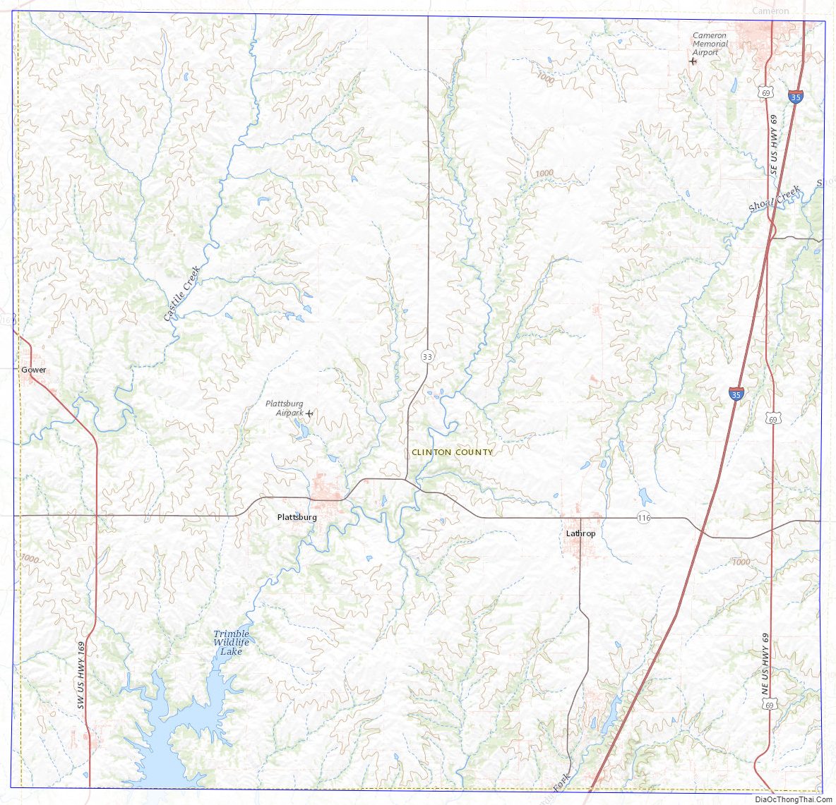
Clinton County Topographic Map
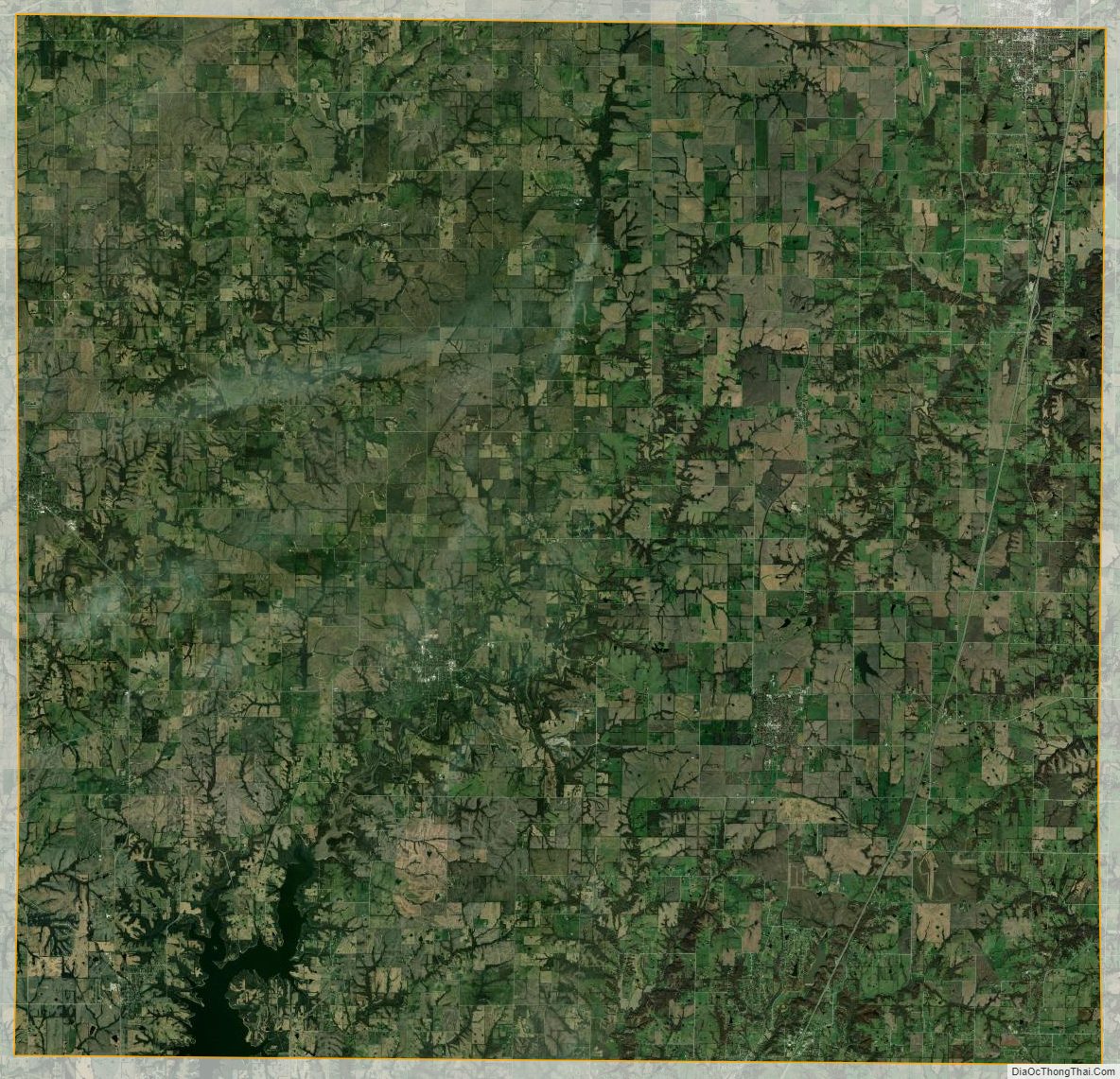
Clinton County Satellite Map
Clinton County Outline Map