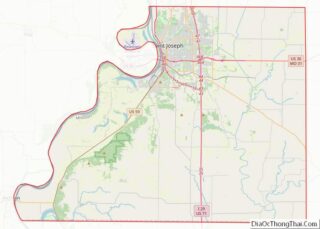
Agency is a village in Buchanan County, Missouri, United States. The population was 684 at the 2010 census. It is part of the St. Joseph, MO–KS Metropolitan Statistical Area.
| Name: | Agency village |
|---|---|
| LSAD Code: | 47 |
| LSAD Description: | village (suffix) |
| State: | Missouri |
| County: | Buchanan County |
| Incorporated: | 1903 |
| Elevation: | 896 ft (273 m) |
| Total Area: | 3.73 sq mi (9.67 km²) |
| Land Area: | 3.69 sq mi (9.54 km²) |
| Water Area: | 0.05 sq mi (0.13 km²) |
| Total Population: | 671 |
| Population Density: | 182.09/sq mi (70.31/km²) |
| ZIP code: | 64401 |
| Area code: | 816 |
| FIPS code: | 2900298 |
| GNISfeature ID: | 2397917 |
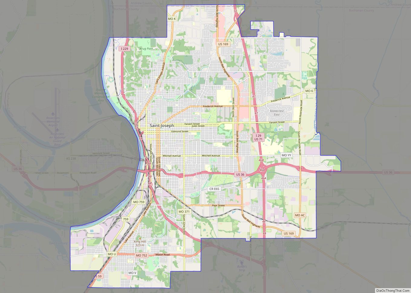
Online Interactive Map
Click on ![]() to view map in "full screen" mode.
to view map in "full screen" mode.
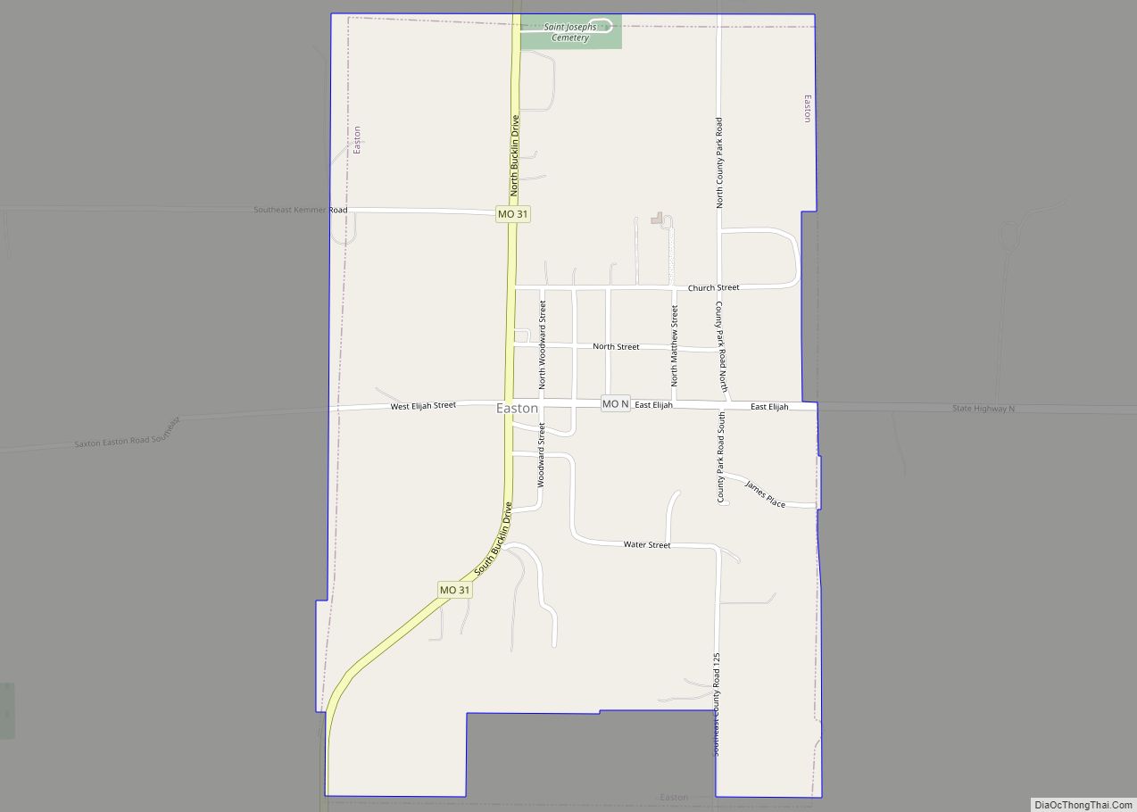
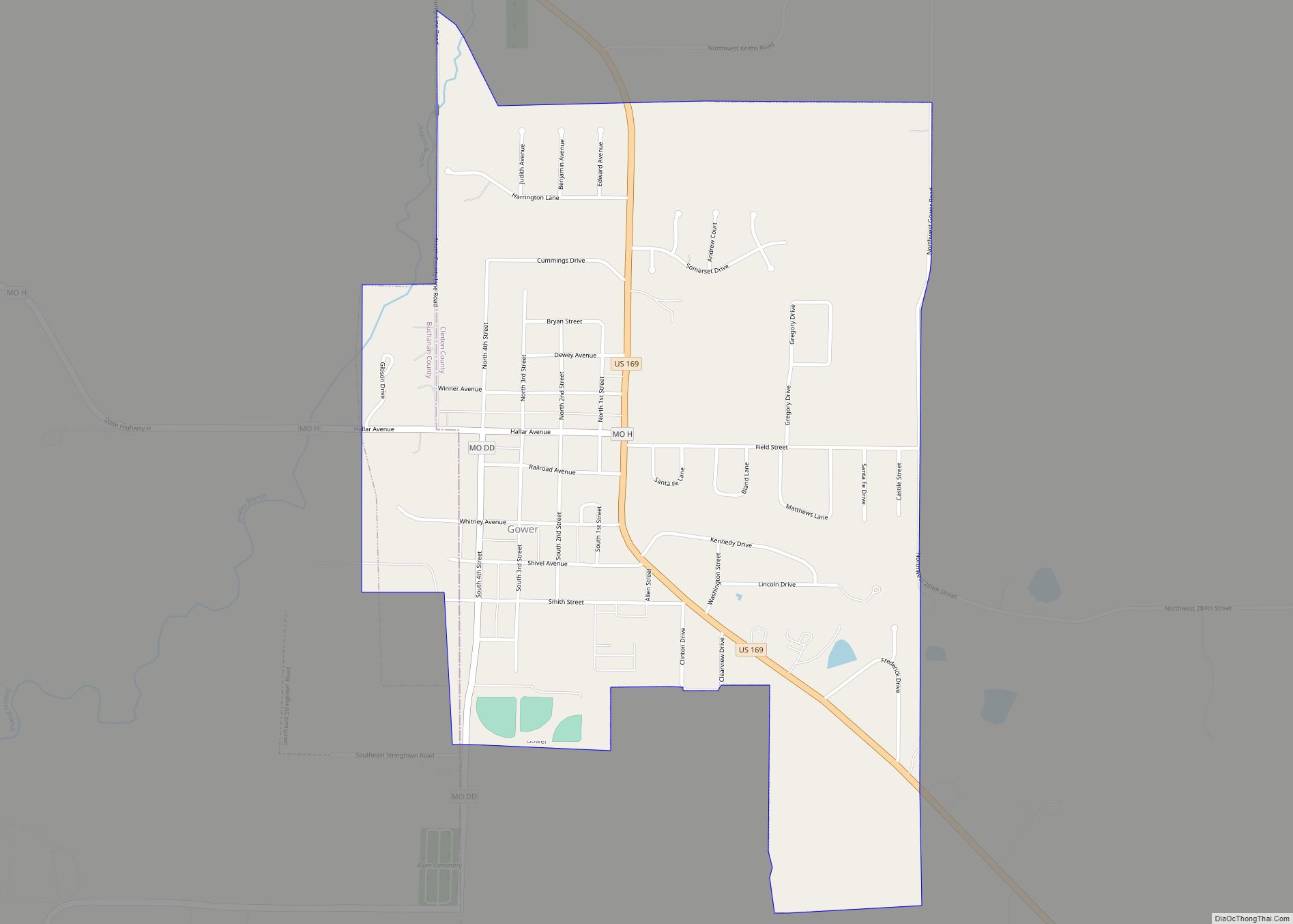
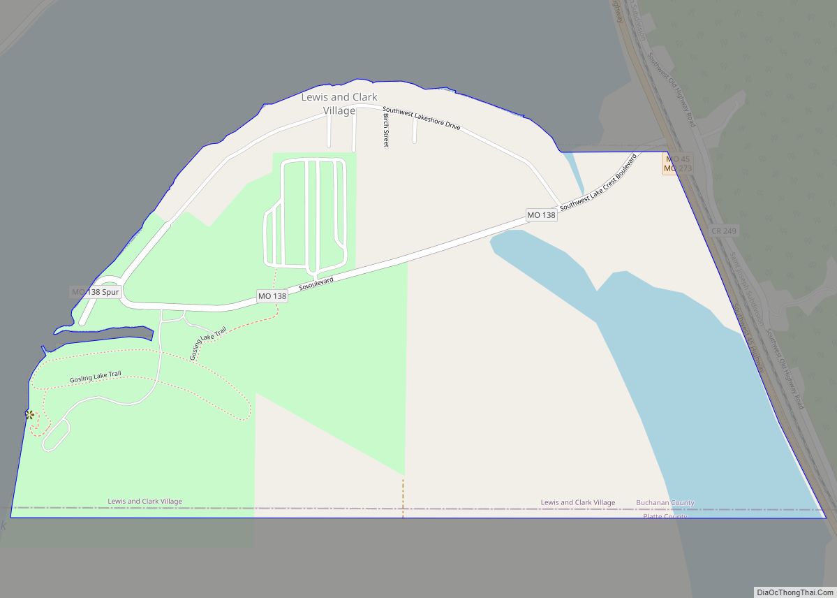
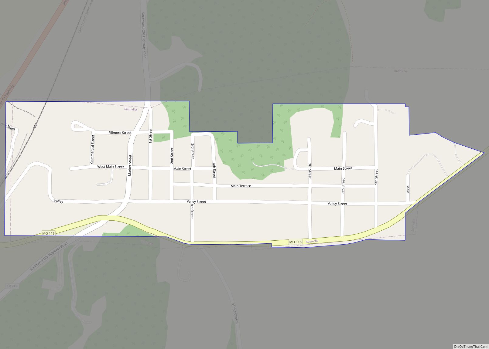
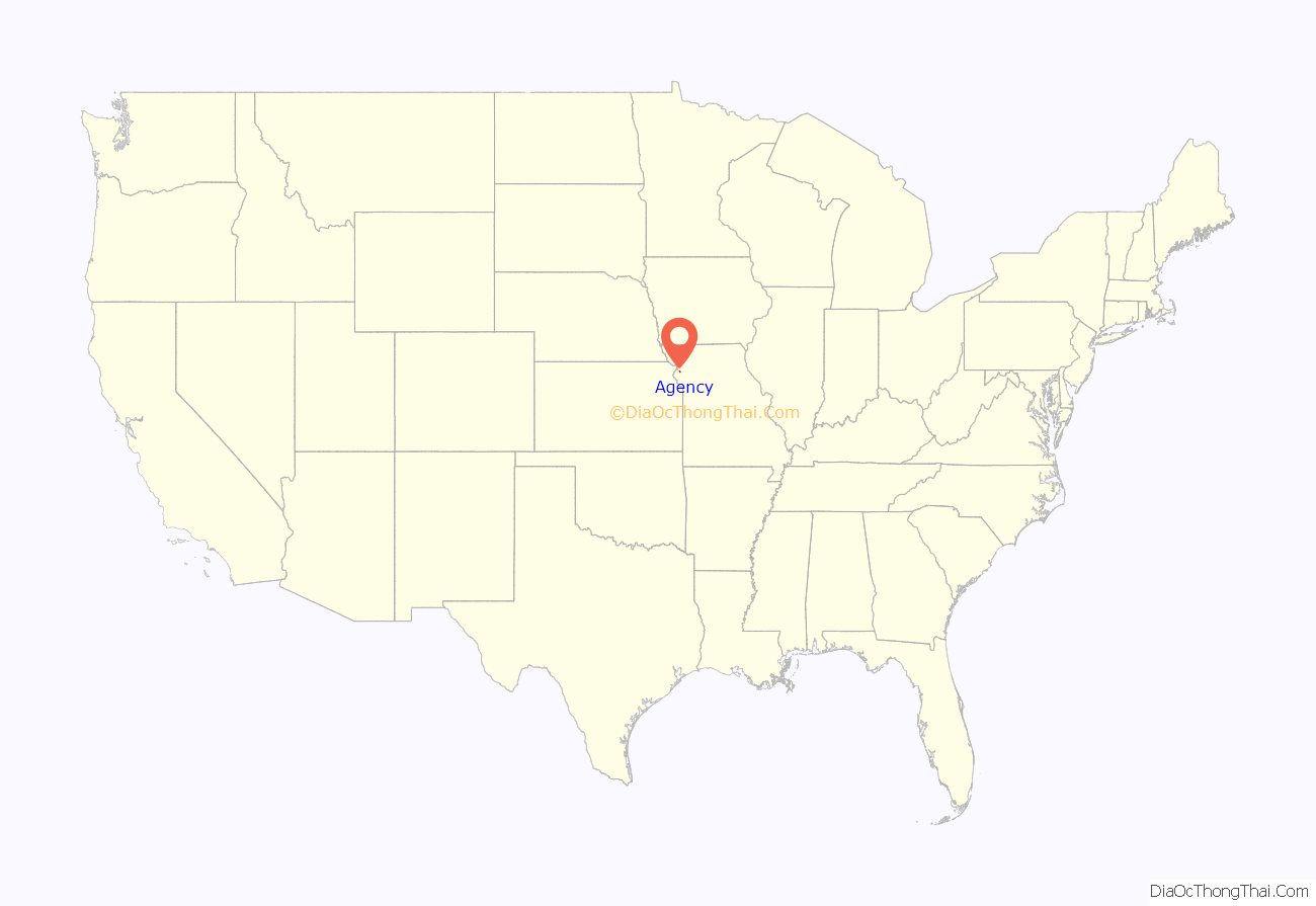
Agency location map. Where is Agency village?

History
Agency was laid out in 1865. It was formerly the site of an agency of the Sac and Fox Indians, hence the name. A post office called Agency has been in operation since 1872. On Sunday, May 20, 1923 a Ku Klux Klan picnic held at Agency was attended by several thousand people. Speakers included Rev. Bloom, Rev. Smallwood, and Rev. Rendlemarr, all of Partee Park Baptist Church.
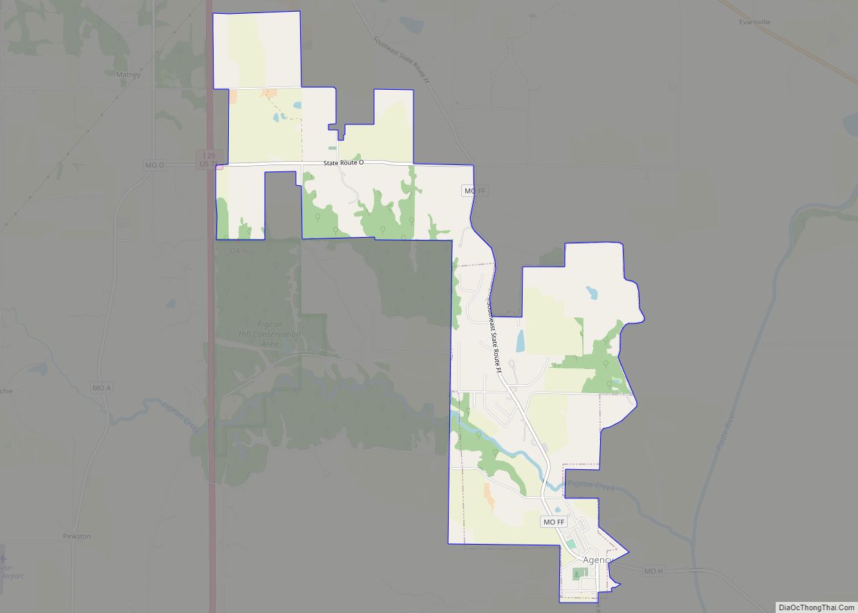
Agency Road Map

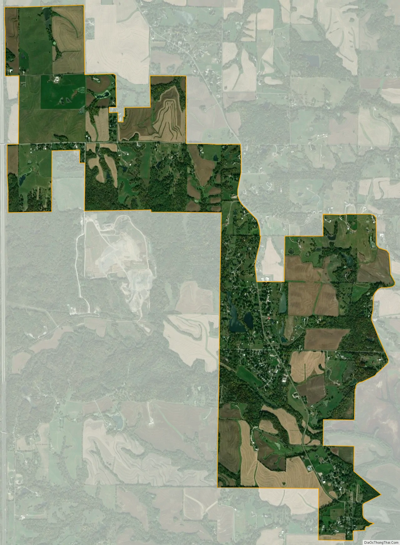
Agency city Satellite Map
Geography
Agency is located at 39°38′55″N 94°44′40″W / 39.64861°N 94.74444°W / 39.64861; -94.74444 (39.648739, -94.744418).
According to the United States Census Bureau, the village has a total area of 4.30 square miles (11.14 km), of which 4.25 square miles (11.01 km) is land and 0.05 square miles (0.13 km) is water.
See also
Map of Missouri State and its subdivision:- Adair
- Andrew
- Atchison
- Audrain
- Barry
- Barton
- Bates
- Benton
- Bollinger
- Boone
- Buchanan
- Butler
- Caldwell
- Callaway
- Camden
- Cape Girardeau
- Carroll
- Carter
- Cass
- Cedar
- Chariton
- Christian
- Clark
- Clay
- Clinton
- Cole
- Cooper
- Crawford
- Dade
- Dallas
- Daviess
- De Kalb
- Dent
- Douglas
- Dunklin
- Franklin
- Gasconade
- Gentry
- Greene
- Grundy
- Harrison
- Henry
- Hickory
- Holt
- Howard
- Howell
- Iron
- Jackson
- Jasper
- Jefferson
- Johnson
- Knox
- Laclede
- Lafayette
- Lawrence
- Lewis
- Lincoln
- Linn
- Livingston
- Macon
- Madison
- Maries
- Marion
- McDonald
- Mercer
- Miller
- Mississippi
- Moniteau
- Monroe
- Montgomery
- Morgan
- New Madrid
- Newton
- Nodaway
- Oregon
- Osage
- Ozark
- Pemiscot
- Perry
- Pettis
- Phelps
- Pike
- Platte
- Polk
- Pulaski
- Putnam
- Ralls
- Randolph
- Ray
- Reynolds
- Ripley
- Saint Charles
- Saint Clair
- Saint Francois
- Saint Louis
- Sainte Genevieve
- Saline
- Schuyler
- Scotland
- Scott
- Shannon
- Shelby
- Stoddard
- Stone
- Sullivan
- Taney
- Texas
- Vernon
- Warren
- Washington
- Wayne
- Webster
- Worth
- Wright
- Alabama
- Alaska
- Arizona
- Arkansas
- California
- Colorado
- Connecticut
- Delaware
- District of Columbia
- Florida
- Georgia
- Hawaii
- Idaho
- Illinois
- Indiana
- Iowa
- Kansas
- Kentucky
- Louisiana
- Maine
- Maryland
- Massachusetts
- Michigan
- Minnesota
- Mississippi
- Missouri
- Montana
- Nebraska
- Nevada
- New Hampshire
- New Jersey
- New Mexico
- New York
- North Carolina
- North Dakota
- Ohio
- Oklahoma
- Oregon
- Pennsylvania
- Rhode Island
- South Carolina
- South Dakota
- Tennessee
- Texas
- Utah
- Vermont
- Virginia
- Washington
- West Virginia
- Wisconsin
- Wyoming