Dawson Springs is a home rule-class city in Hopkins and Caldwell counties in the U.S. state of Kentucky. As of the 2020 census, the population of the city was 2,452.
| Name: | Dawson Springs city |
|---|---|
| LSAD Code: | 25 |
| LSAD Description: | city (suffix) |
| State: | Kentucky |
| County: | Caldwell County, Hopkins County |
| Elevation: | 420 ft (130 m) |
| Total Area: | 3.93 sq mi (10.17 km²) |
| Land Area: | 3.84 sq mi (9.94 km²) |
| Water Area: | 0.09 sq mi (0.23 km²) |
| Total Population: | 2,452 |
| Population Density: | 638.87/sq mi (246.70/km²) |
| ZIP code: | 42408 |
| Area code: | 270 & 364 |
| FIPS code: | 2120224 |
| Website: | dawsonspringsky.com |
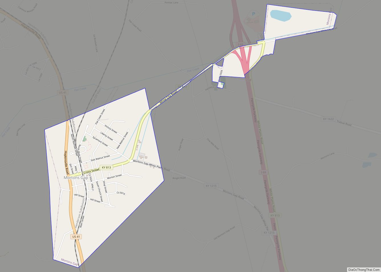
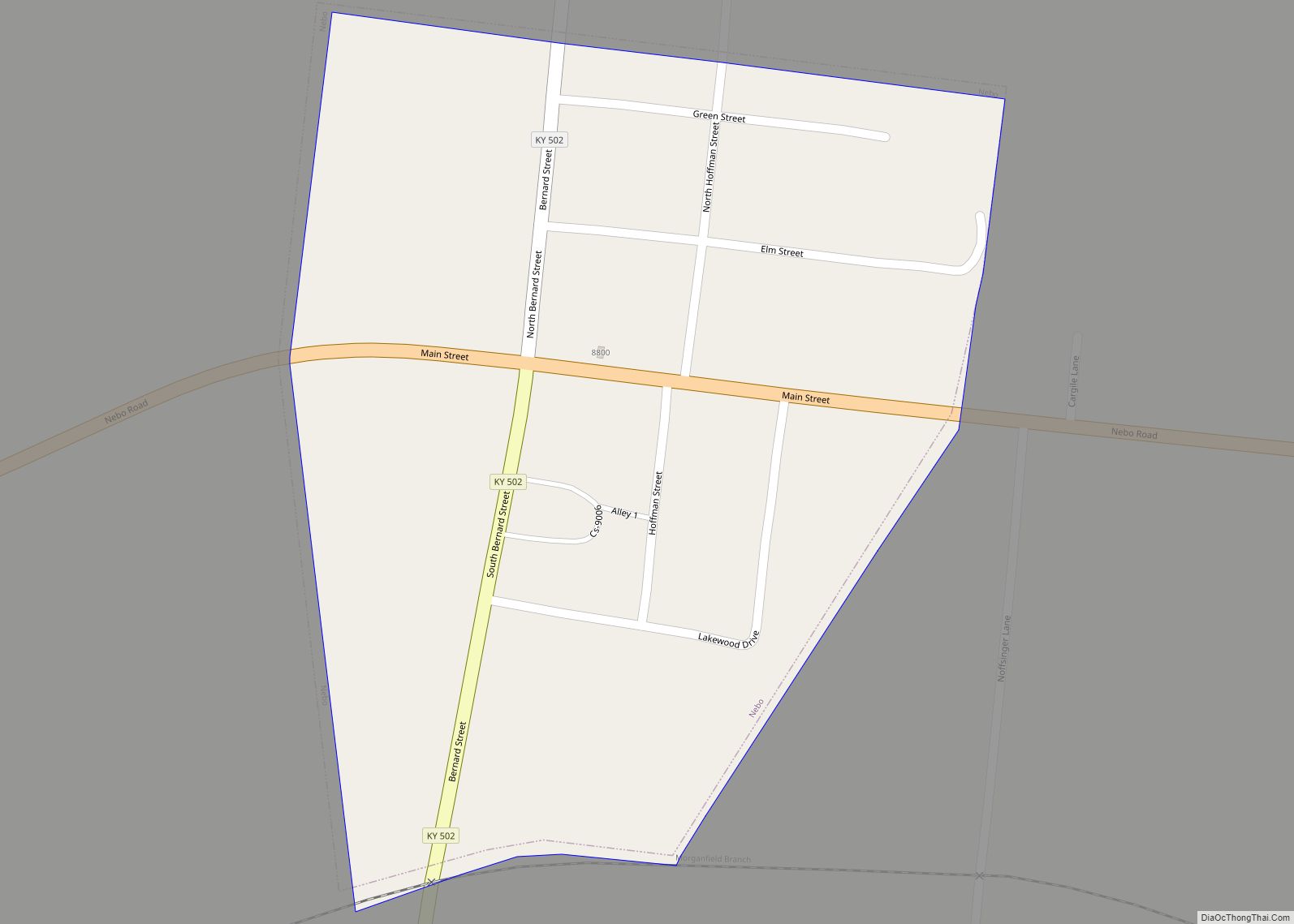
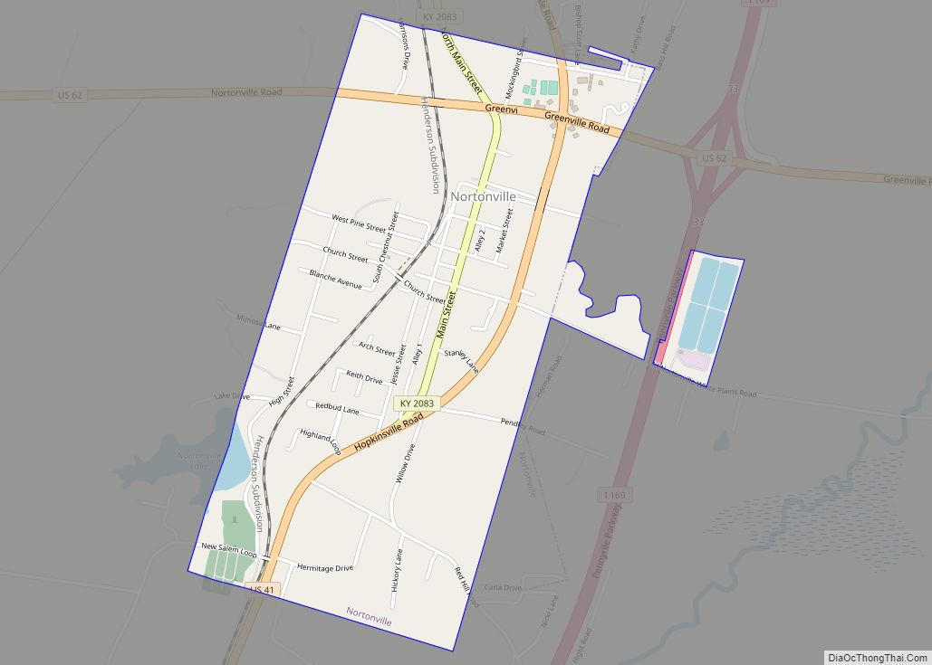
Online Interactive Map
Click on ![]() to view map in "full screen" mode.
to view map in "full screen" mode.
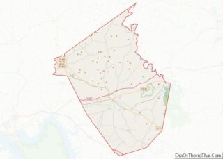
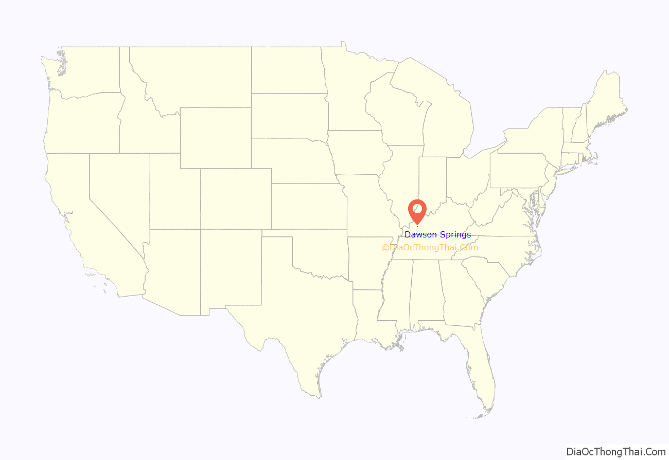
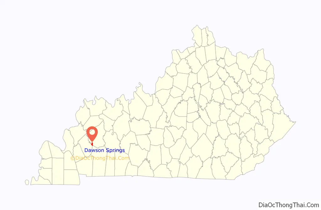
Dawson Springs location map. Where is Dawson Springs city?
History
Originally known as Tradewater Bend, the city was incorporated in 1832 under the name Dawson City by two Menser brothers.
From the late 1800s to the 1930s, Dawson Springs was well known as a spa and resort town. Outwood Veterans Hospital was constructed here in 1922. Dawson Springs is still popular as a tourist destination because of the Pennyrile Forest State Resort Park and nearby lakes and hiking trails.
2021 tornado
On December 10th, 2021, up to 75% of the city was destroyed by an EF4 tornado, and 19 people died as a result. Everyone in the small town have been accounted for as of December 17th.
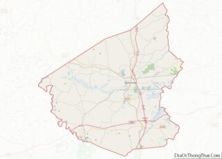
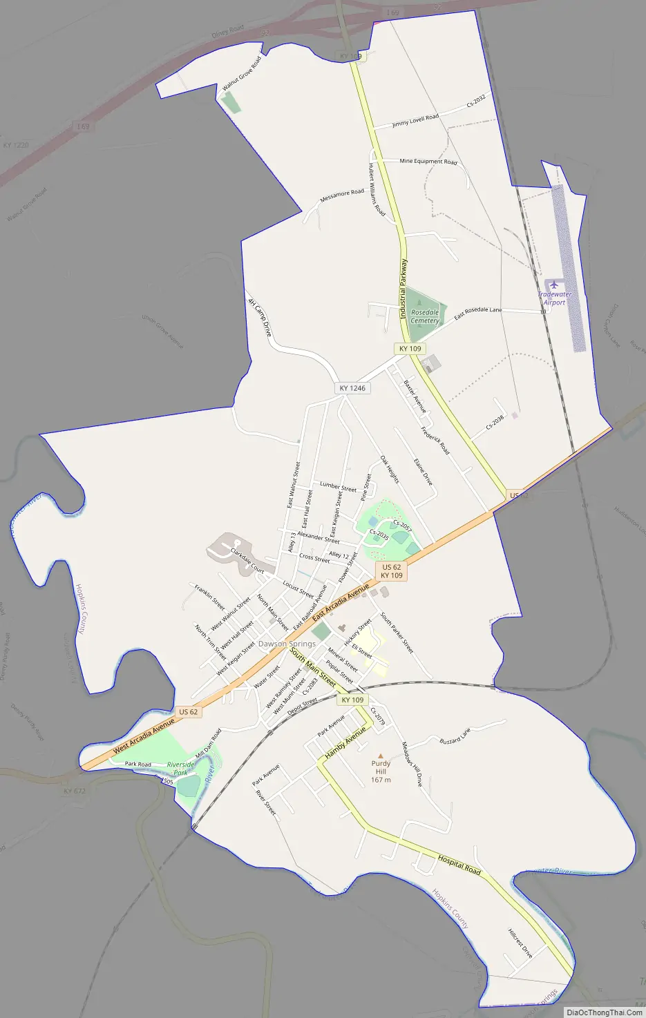
Dawson Springs Road Map
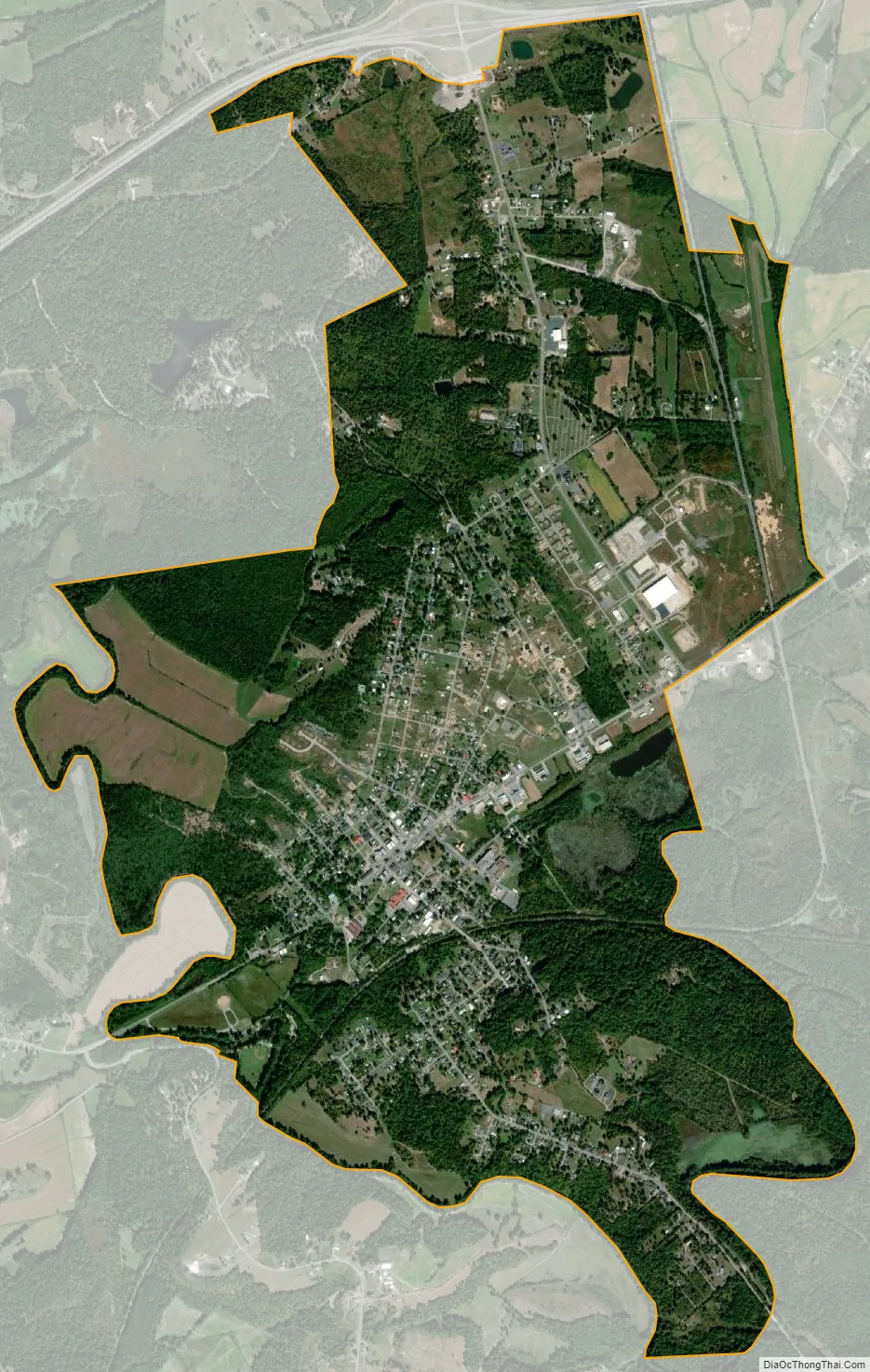
Dawson Springs city Satellite Map
Geography
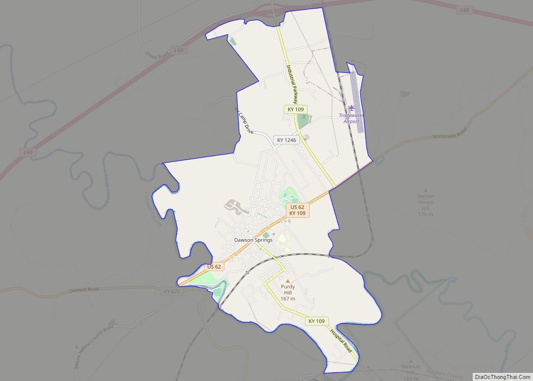
Dawson Springs is located in southwestern Hopkins County at 37°10′18″N 87°41′21″W / 37.17167°N 87.68917°W / 37.17167; -87.68917 (37.171799, -87.689190). Its southern and western border is the Tradewater River, which is also the Hopkins/Caldwell County line. A small portion of Dawson Springs extends across the river into Caldwell County.
U.S. Route 62 passes through the center of the city, leading east 14 miles (23 km) to Nortonville and west 12 miles (19 km) to Princeton. Interstate 69 runs generally parallel to US 62 and touches the northern end of Dawson Springs’ city limits, with access from exit 92 (Kentucky Route 109).
According to the United States Census Bureau, the city has a total area of 3.8 square miles (9.8 km), of which 3.7 square miles (9.5 km) is land and 0.077 square miles (0.2 km), or 2.16%, is water.
Climate
The climate in this area is characterized by hot, humid summers and generally mild to cool winters. According to the Köppen Climate Classification system, Dawson Springs has a humid subtropical climate, abbreviated “Cfa” on climate maps.
See also
Map of Kentucky State and its subdivision:- Adair
- Allen
- Anderson
- Ballard
- Barren
- Bath
- Bell
- Boone
- Bourbon
- Boyd
- Boyle
- Bracken
- Breathitt
- Breckinridge
- Bullitt
- Butler
- Caldwell
- Calloway
- Campbell
- Carlisle
- Carroll
- Carter
- Casey
- Christian
- Clark
- Clay
- Clinton
- Crittenden
- Cumberland
- Daviess
- Edmonson
- Elliott
- Estill
- Fayette
- Fleming
- Floyd
- Franklin
- Fulton
- Gallatin
- Garrard
- Grant
- Graves
- Grayson
- Green
- Greenup
- Hancock
- Hardin
- Harlan
- Harrison
- Hart
- Henderson
- Henry
- Hickman
- Hopkins
- Jackson
- Jefferson
- Jessamine
- Johnson
- Kenton
- Knott
- Knox
- Larue
- Laurel
- Lawrence
- Lee
- Leslie
- Letcher
- Lewis
- Lincoln
- Livingston
- Logan
- Lyon
- Madison
- Magoffin
- Marion
- Marshall
- Martin
- Mason
- McCracken
- McCreary
- McLean
- Meade
- Menifee
- Mercer
- Metcalfe
- Monroe
- Montgomery
- Morgan
- Muhlenberg
- Nelson
- Nicholas
- Ohio
- Oldham
- Owen
- Owsley
- Pendleton
- Perry
- Pike
- Powell
- Pulaski
- Robertson
- Rockcastle
- Rowan
- Russell
- Scott
- Shelby
- Simpson
- Spencer
- Taylor
- Todd
- Trigg
- Trimble
- Union
- Warren
- Washington
- Wayne
- Webster
- Whitley
- Wolfe
- Woodford
- Alabama
- Alaska
- Arizona
- Arkansas
- California
- Colorado
- Connecticut
- Delaware
- District of Columbia
- Florida
- Georgia
- Hawaii
- Idaho
- Illinois
- Indiana
- Iowa
- Kansas
- Kentucky
- Louisiana
- Maine
- Maryland
- Massachusetts
- Michigan
- Minnesota
- Mississippi
- Missouri
- Montana
- Nebraska
- Nevada
- New Hampshire
- New Jersey
- New Mexico
- New York
- North Carolina
- North Dakota
- Ohio
- Oklahoma
- Oregon
- Pennsylvania
- Rhode Island
- South Carolina
- South Dakota
- Tennessee
- Texas
- Utah
- Vermont
- Virginia
- Washington
- West Virginia
- Wisconsin
- Wyoming