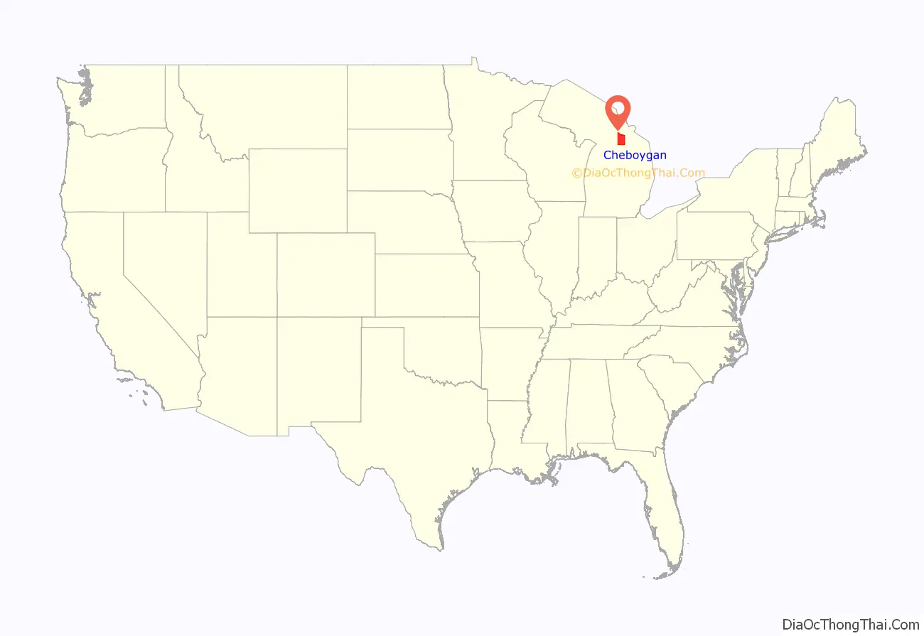
Cheboygan County (/ʃəˈbɔɪɡən/ shə-BOY-gən) is a county in the U.S. state of Michigan. As of the 2020 Census, the population was 25,579. The county seat is Cheboygan. The county boundaries were set off in 1840, with land partitioned from Mackinac County. The Cheboygan County government was organized in 1853.
| Name: | Cheboygan County |
|---|---|
| FIPS code: | 26-031 |
| State: | Michigan |
| Founded: | 1840 |
| Seat: | Cheboygan |
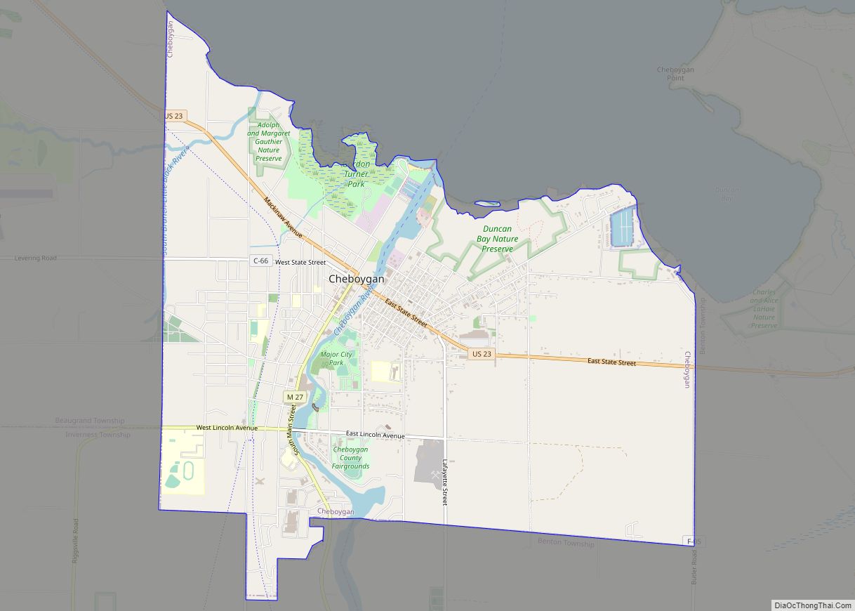
| Largest city: | Cheboygan |
| Total Area: | 885 sq mi (2,290 km²) |
| Land Area: | 715 sq mi (1,850 km²) |
| Total Population: | 25,579 |
| Population Density: | 37/sq mi (14/km²) |
| Time zone: | UTC−5 (Eastern) |
| Summer Time Zone (DST): | UTC−4 (EDT) |
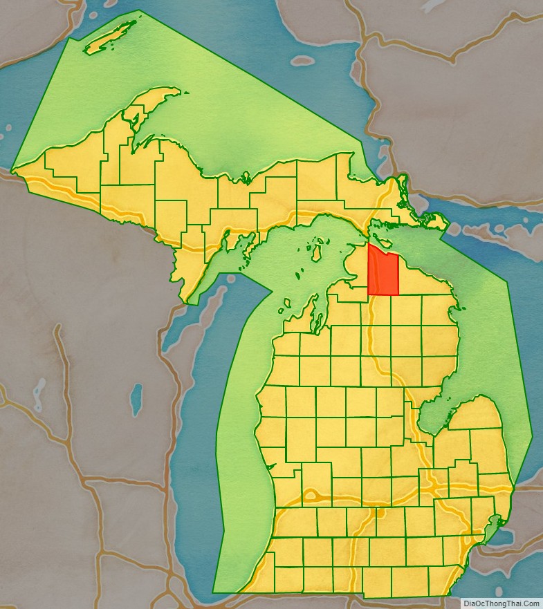
Cheboygan County location map. Where is Cheboygan County?
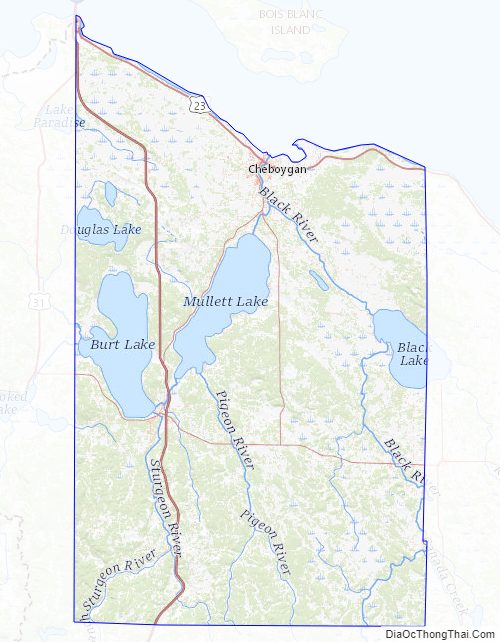
Cheboygan County Road Map
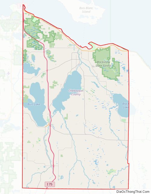
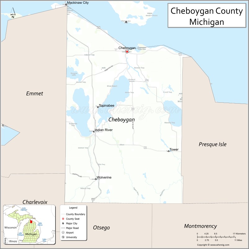
Geography
According to the U.S. Census Bureau, the county has a total area of 885 square miles (2,290 km), of which 715 square miles (1,850 km) is land and 170 square miles (440 km) (19%) is water. The county is considered to be part of Northern Michigan.
Adjacent counties
By land
- Presque Isle County – east
- Montmorency County – southeast
- Otsego County – south
- Charlevoix County – southwest
- Emmet County – west
By water
- Mackinac County – north
Cheboygan County Topographic Map
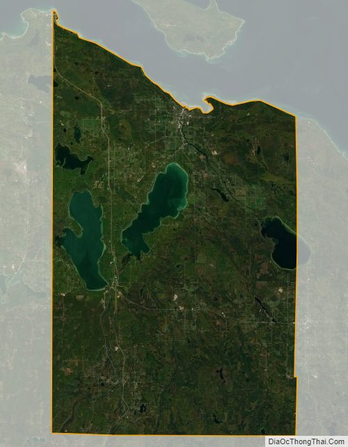
Cheboygan County Satellite Map
Cheboygan County Outline Map