Fredericksburg is an independent city in Virginia, United States. As of the 2020 census, the population was 27,982. It is 48 miles (77 km) south of Washington, D.C., and 53 miles (85 km) north of Richmond. The Bureau of Economic Analysis of the United States Department of Commerce combines the city of Fredericksburg with neighboring Spotsylvania County for statistical purposes.
Located near where the Rappahannock River crosses the Atlantic Seaboard fall line, Fredericksburg was a prominent port in Virginia during the colonial era. During the Civil War, Fredericksburg, located halfway between the capitals of the opposing forces, was the site of the Battle of Fredericksburg and Second Battle of Fredericksburg. These battles are preserved, in part, as the Fredericksburg and Spotsylvania National Military Park. More than 10,000 African-Americans in the region left slavery for freedom in 1862 alone, getting behind Union lines. Tourism is a major part of the economy. Approximately 1.5 million people visit the Fredericksburg area annually, including the battlefield park, the downtown visitor center, events, museums, art shops, galleries, and many historical sites.
Fredericksburg is home to Central Park (as of 2004, the second-largest mall on the East Coast). The Spotsylvania Towne Centre is located in Spotsylvania County, adjacent to the city. Major employers include the University of Mary Washington (named for the mother of George Washington, who lived here), Mary Washington Healthcare, and GEICO. Many Fredericksburg-area residents commute to work by car, bus, and rail to Washington, D.C., and Richmond, as well as Fairfax, Prince William, and Arlington counties.
| Name: | Fredericksburg City |
|---|---|
| FIPS code: | 51-630 |
| State: | Virginia |
| Founded: | 1728 |
| Named for: | Frederick, Prince of Wales |
| Land Area: | 10.45 sq mi (27.07 km²) |
| Population Density: | 2,700/sq mi (1,000/km²) |
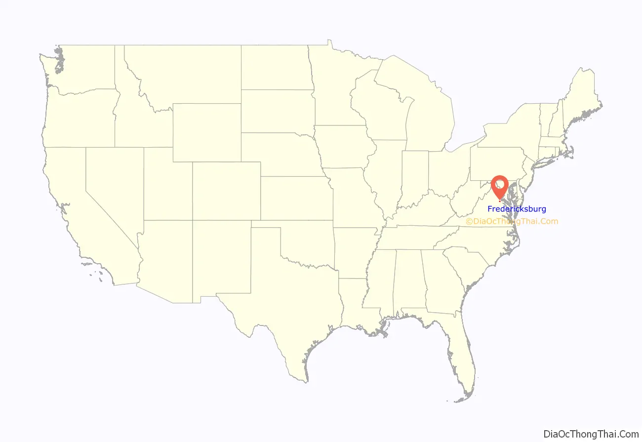
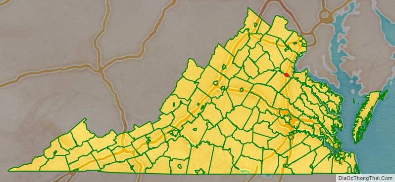
Fredericksburg City location map. Where is Fredericksburg City?
History
At the time of European encounter, the indigenous inhabitants of the area that became Fredericksburg were a Siouan-speaking tribe called the Manahoac. English colonists recorded the name of the Manahoac village there as Mahaskahod. Siouan tribes occupied much of the area of the Piedmont. The Tidewater areas of the coastal plain had primarily Algonquian-speaking tribes making up the Powhatan Confederacy.
Colonial
Located on the Rappahannock River near the head of navigation at the fall line, Fredericksburg developed as the frontier of colonial Virginia shifted west from the coastal plain into the Piedmont. The land on which the city was founded was part of a tract patented in 1671. The Virginia General Assembly established a fort on the Rappahannock in 1676, just downriver of the present-day city. In 1714, Lieutenant Governor Alexander Spotswood sponsored a German settlement called Germanna on the Rapidan River, a tributary of the Rappahannock upstream from the future site of the city. In 1716, he led an exploratory expedition westward over the Blue Ridge Mountains.
As interest in the frontier grew, the colonial assembly formed Spotsylvania County in 1720, named after Royal Lieutenant Governor Alexander Spotswood. In 1728, Fredericksburg was declared a port for the county, of which it was then a part. Named for Frederick, Prince of Wales, son of King George II, the colonial town named its streets after the members of the royal family. The county court was moved to Fredericksburg in 1732. Hence, the community served as county seat until 1780. The court was then moved to Spotsylvania Courthouse, Virginia – closer to the geographical center of Spotsylvania County. In 1781, Fredericksburg was incorporated as a town with its own court, council, and mayor. It received its charter as an independent city in 1879 and under Virginia law, was separated from Spotsylvania County. The city adopted its present city manager/council form of government in 1911.
The city has close associations with George Washington, whose family in 1738 moved to Ferry Farm in Stafford County near the Rappahannock River opposite Fredericksburg. Washington’s mother, Mary, later moved to the city, and his sister Betty lived at Kenmore, a plantation house then outside the city. Several citizens played active roles during the American Revolution (1763–1781). For example, a number of locals signed the Leedstown Resolves, which formed an association to protest the Stamp Act in the 1760s. In the 1770s, Fielding Lewis, owner of Kenmore Plantation and brother-in-law to George Washington, also operated an arms factory for the Continental Army. Other significant early residents include the Revolutionary War generals Hugh Mercer and George Weedon, naval war hero John Paul Jones, and future U.S. president James Monroe. Thomas Jefferson wrote the Virginia Statute for Religious Freedom in Fredericksburg.
19th century
During the 19th century, mills continued to be developed along the Rappahannock River, which provided water power. There were mills for grinding flour, processing and weaving cotton, and other manufacturing. Fredericksburg sought to maintain its sphere of trade, but with limited success. It promoted the development of a canal on the Rappahannock and construction of a turnpike and plank road to bind the interior country to the market town. By 1837, a north–south railroad, which became the Richmond, Fredericksburg and Potomac Railroad, linked the town to Richmond, the state capital. A much-needed railroad joining the town to the West’s arming region was not finished until after the Civil War.
During the Civil War, Fredericksburg was strategically important because of its port location midway between Washington and Richmond, the opposing capitals of the Union and the Confederacy. During the Battle of Fredericksburg from December 11–15, 1862, the town sustained significant damage from bombardment and looting by the Union forces.
During that engagement, nearly 10,000 enslaved people left area plantations and city households to gain freedom by crossing the Rappahannock River to Stafford County and join the Union lines, part of a movement by enslaved people throughout the South in wartime. John Washington, a literate enslaved person who shortly crossed to freedom, wrote later about people watching the approach of Union troops across the river from Fredericksburg: “No one could be seen on the street but the colored people. and every one of them seemed to be in the best of humors.”
The Second Battle of Fredericksburg was fought in and around the town on May 3, 1863, in connection with the Chancellorsville campaign (April 27, 1863 – May 6, 1863). The battles of the Wilderness and Spotsylvania Court House were fought nearby in May 1864. The Washington Woolen Mill, a large three-story building, was converted to use as a hospital during the war.
After the war, Fredericksburg recovered its former position as a center of local trade and slowly grew beyond its prewar boundaries. Neither the city of Fredericksburg nor the surrounding counties reached the 1860 level of population again until well into the 20th century. After the war, many freedmen moved to Richmond and Petersburg, where there had been established free black communities before the war, and there was more work.
20th century to present
In the early 20th century, as the Jim Crow era continued in the South, there was widespread population movement. Many African-Americans left rural areas of the South for work and other opportunities in industrial cities of the North and Midwest in the Great Migration. Some settled in Washington, D.C., where there were more opportunities, or further north.
War-related buildup at defense facilities for World War II added to the area’s population in the 1940s. The 1960s brought renewed growth and development, fueled by the construction of Interstate 95, which eased commuting and trade. By the 1970s, the city and the area had become a bedroom community for jobs in Northern Virginia and Washington, D.C. Headquarters agencies, lobbyists, consultants, defense and government contractors, and a range of other businesses were part of the regional economy influenced by the U.S. government. The city also benefited from its relative proximity to four military installations: the United States Marine Corps’ Quantico Base, the U.S. Army’s Fort Belvoir, the U.S. Navy’s Dahlgren Surface Weapons Base, and the Virginia National Guard’s Fort A.P. Hill.
The University of Mary Washington was founded in Fredericksburg in 1908 as the State Normal and Industrial School for Women, to train white women for teaching K-12 and industrial skills. Adopting the name of Mary Washington College in 1938, the college was for many years associated with the University of Virginia (then limited to white men) as a women’s liberal arts college. The college officially desegregated in 1964. The college became independent of the University of Virginia and began to accept men in 1970. In 2004, the college changed its name from Mary Washington College to the University of Mary Washington. Two additional campuses for graduate and professional studies and education and research are located in Stafford County and in King George County, respectively.
Musician Link Wray of Fredericksburg developed the power chord of modern rock guitar in 1958 during his first improvisation of the instrumental piece “Rumble”, a single released by Wray & His Ray Men. This innovation became widely used by rock guitarists. In the early 21st century, the local music scene includes a wide variety of genres.
A commuter rail line – the Virginia Railway Express – was established in the 1980s, providing passage to Washington, D.C. and other cities north of Fredericksburg.
The city has become the regional healthcare center for the area. Retail, real estate, and other commercial growth exploded in the early 21st century, eventually slowing during the Great Recession beginning in 2007. Hispanic growth skyrocketed from 2011 to 2020, with Chancellor Green in nearby Spotsylvania County becoming a local enclave.
Fredericksburg City Road Map
Geography
According to the U.S. Census Bureau, the city has a total area of 10.5 square miles (27.2 km), 10.4 square miles (27.0 km) of which is land and 0.1 square miles (0.2 km), or 0.67%, of which is water. The city is part of the boundary between the Piedmont and Tidewater regions, and as such is located on the fall line, as evident on the Rappahannock River. US 1, US 17, and I-95 all pass through the city, which is located 53 miles (85 km) south of downtown Washington, D.C.
The city is bounded on the north and east by the Rappahannock River; across the river is Stafford County. The city is bounded on the south and west by Spotsylvania County.
Fredericksburg has a four-season humid subtropical climate (Köppen Cfa), with cool winters and hot, humid summers. Daytime temperatures for much of the year average slightly higher than in Washington, D.C. due to the southerly aspect, although the inland location and distance from the urban heat island present in the nation’s capital make for significantly cooler low temperatures.


