Ashland is a city in and the county seat of Clark County, Kansas, United States. As of the 2020 census, the population of the city was 783.
| Name: | Ashland city |
|---|---|
| LSAD Code: | 25 |
| LSAD Description: | city (suffix) |
| State: | Kansas |
| County: | Clark County |
| Founded: | 1884 |
| Incorporated: | 1886 |
| Elevation: | 1,975 ft (602 m) |
| Total Area: | 1.69 sq mi (4.38 km²) |
| Land Area: | 1.69 sq mi (4.38 km²) |
| Water Area: | 0.00 sq mi (0.00 km²) |
| Total Population: | 783 |
| Population Density: | 460/sq mi (180/km²) |
| ZIP code: | 67831 |
| Area code: | 620 |
| FIPS code: | 2002675 |
| Website: | ashlandks.com |
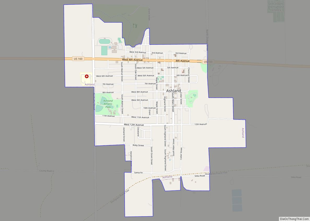
Online Interactive Map
Click on ![]() to view map in "full screen" mode.
to view map in "full screen" mode.
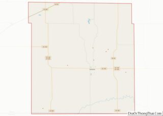
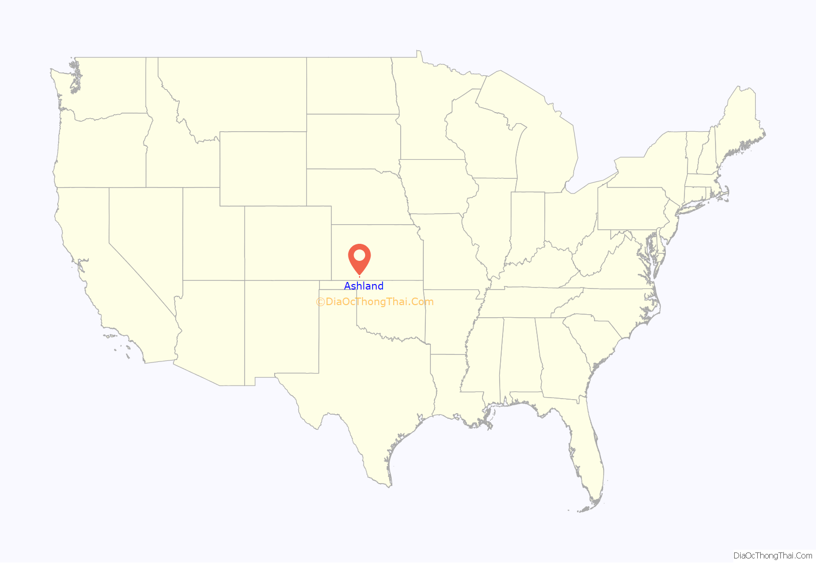
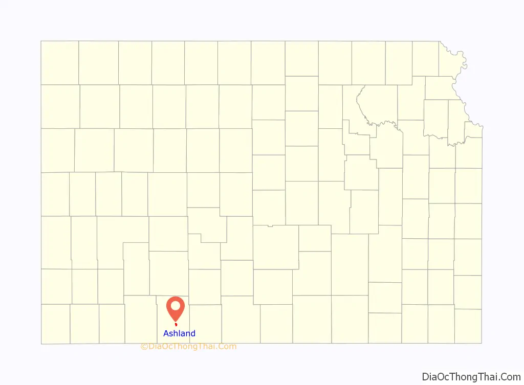
Ashland location map. Where is Ashland city?
History
Ashland lies along what was once a military road from Fort Dodge (now Dodge City, Kansas) to the north and Fort Supply in the Indian Territory to the south. In 1870, during the Comanche Campaign against the Native Americans, the Army built two redoubts along the Dodge/Supply trail near the current site of Ashland: the Bear Creek Redoubt, five miles to the north, and the Cimarron Redoubt, nine miles to the south.
Founded in 1884, it was named after the city of Ashland, Kentucky. The first post office in Ashland was established in 1885.
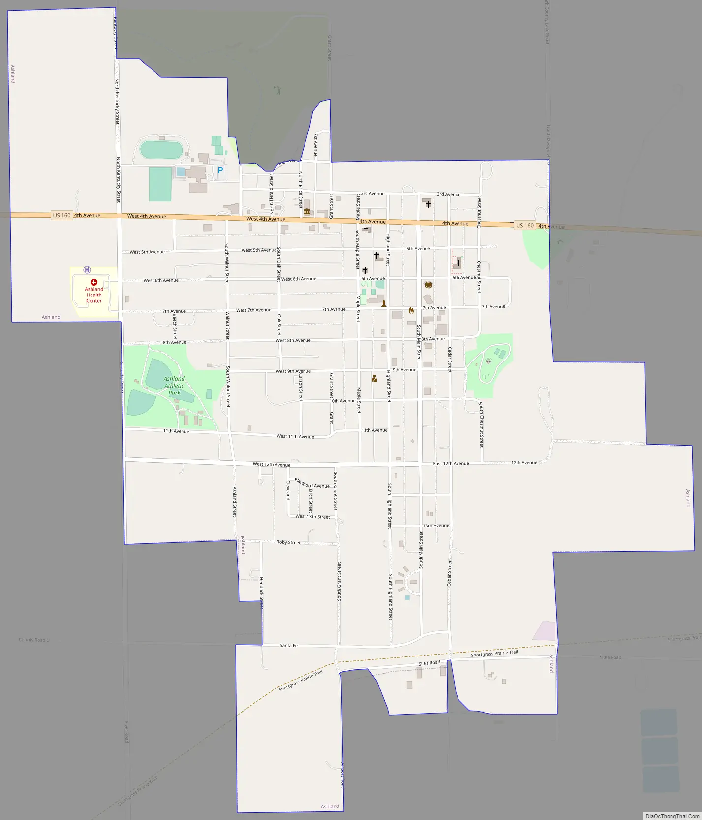
Ashland Road Map
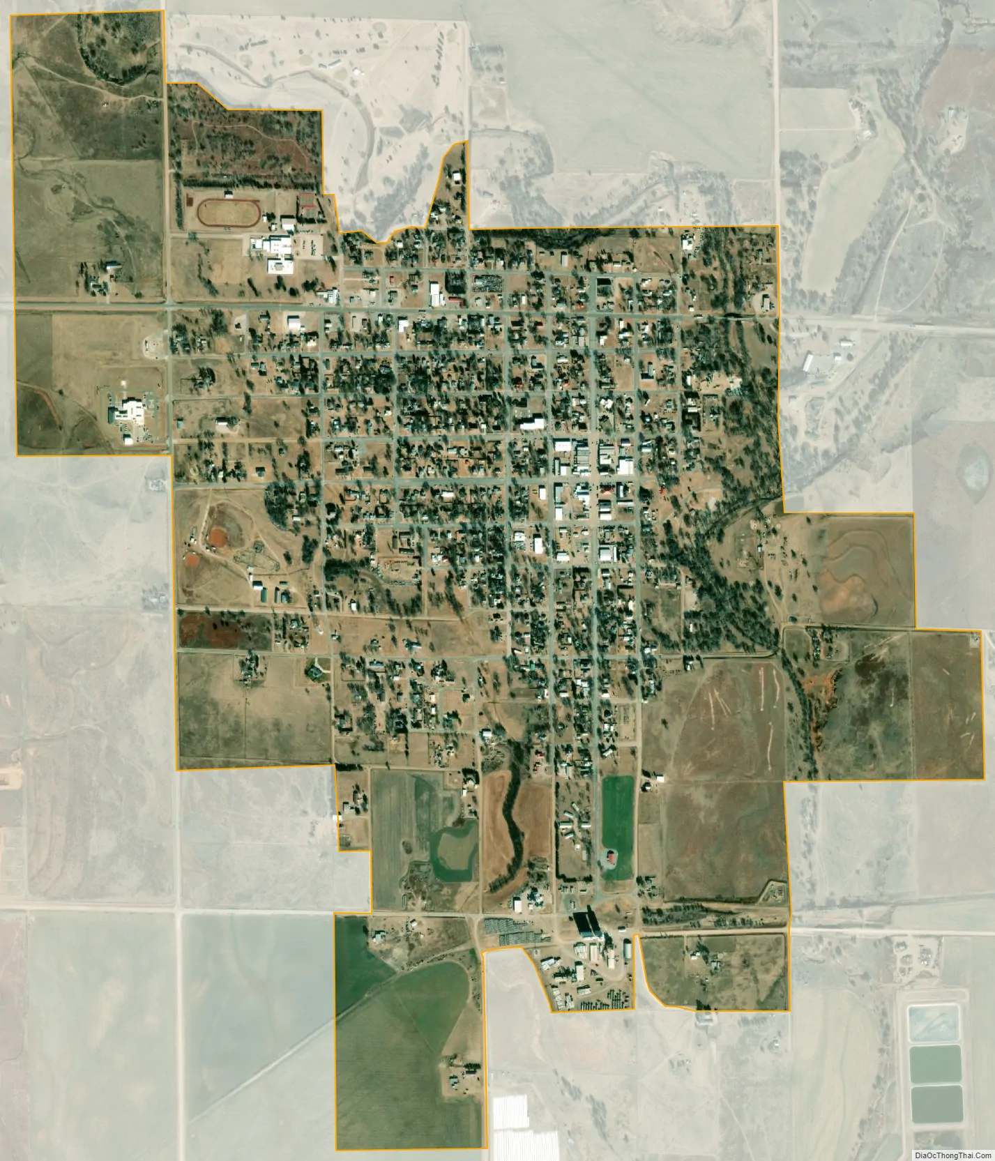
Ashland city Satellite Map
Geography
According to the United States Census Bureau, the city has a total area of 1.68 square miles (4.35 km), all of it land.
Climate
See also
Map of Kansas State and its subdivision:- Allen
- Anderson
- Atchison
- Barber
- Barton
- Bourbon
- Brown
- Butler
- Chase
- Chautauqua
- Cherokee
- Cheyenne
- Clark
- Clay
- Cloud
- Coffey
- Comanche
- Cowley
- Crawford
- Decatur
- Dickinson
- Doniphan
- Douglas
- Edwards
- Elk
- Ellis
- Ellsworth
- Finney
- Ford
- Franklin
- Geary
- Gove
- Graham
- Grant
- Gray
- Greeley
- Greenwood
- Hamilton
- Harper
- Harvey
- Haskell
- Hodgeman
- Jackson
- Jefferson
- Jewell
- Johnson
- Kearny
- Kingman
- Kiowa
- Labette
- Lane
- Leavenworth
- Lincoln
- Linn
- Logan
- Lyon
- Marion
- Marshall
- McPherson
- Meade
- Miami
- Mitchell
- Montgomery
- Morris
- Morton
- Nemaha
- Neosho
- Ness
- Norton
- Osage
- Osborne
- Ottawa
- Pawnee
- Phillips
- Pottawatomie
- Pratt
- Rawlins
- Reno
- Republic
- Rice
- Riley
- Rooks
- Rush
- Russell
- Saline
- Scott
- Sedgwick
- Seward
- Shawnee
- Sheridan
- Sherman
- Smith
- Stafford
- Stanton
- Stevens
- Sumner
- Thomas
- Trego
- Wabaunsee
- Wallace
- Washington
- Wichita
- Wilson
- Woodson
- Wyandotte
- Alabama
- Alaska
- Arizona
- Arkansas
- California
- Colorado
- Connecticut
- Delaware
- District of Columbia
- Florida
- Georgia
- Hawaii
- Idaho
- Illinois
- Indiana
- Iowa
- Kansas
- Kentucky
- Louisiana
- Maine
- Maryland
- Massachusetts
- Michigan
- Minnesota
- Mississippi
- Missouri
- Montana
- Nebraska
- Nevada
- New Hampshire
- New Jersey
- New Mexico
- New York
- North Carolina
- North Dakota
- Ohio
- Oklahoma
- Oregon
- Pennsylvania
- Rhode Island
- South Carolina
- South Dakota
- Tennessee
- Texas
- Utah
- Vermont
- Virginia
- Washington
- West Virginia
- Wisconsin
- Wyoming