Clarke County is a county in the Commonwealth of Virginia. As of the 2020 census, the population was 14,783. Its county seat is Berryville. Clarke County is included in the Washington-Arlington-Alexandria, DC-VA-MD-WV Metropolitan Statistical Area.
| Name: | Clarke County |
|---|---|
| FIPS code: | 51-043 |
| State: | Virginia |
| Founded: | 1836 |
| Named for: | George Rogers Clark |
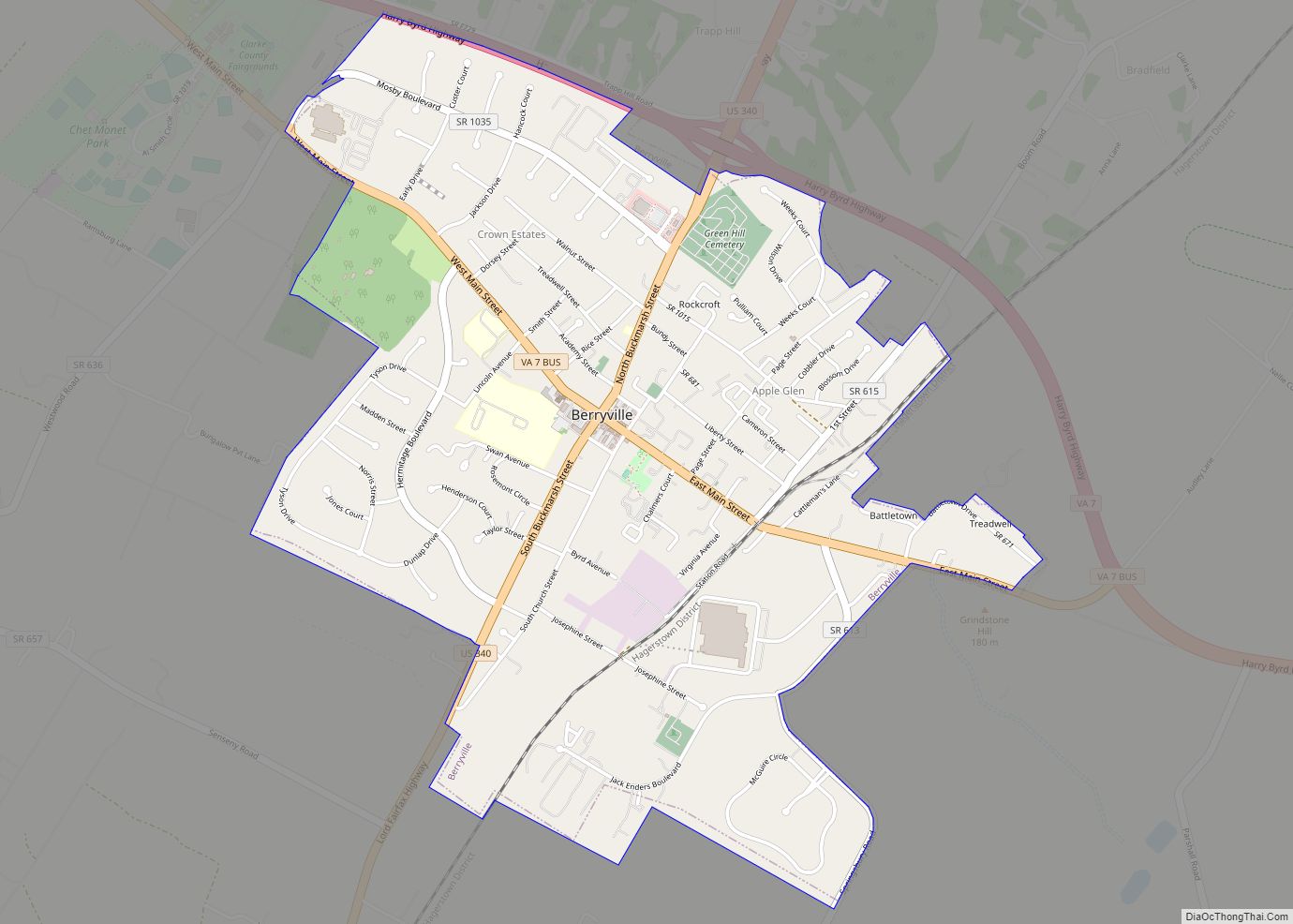
| Seat: | Berryville |
| Largest town: | Berryville |
| Total Area: | 178 sq mi (460 km²) |
| Land Area: | 176 sq mi (460 km²) |
| Total Population: | 14,783 |
| Population Density: | 83/sq mi (32/km²) |
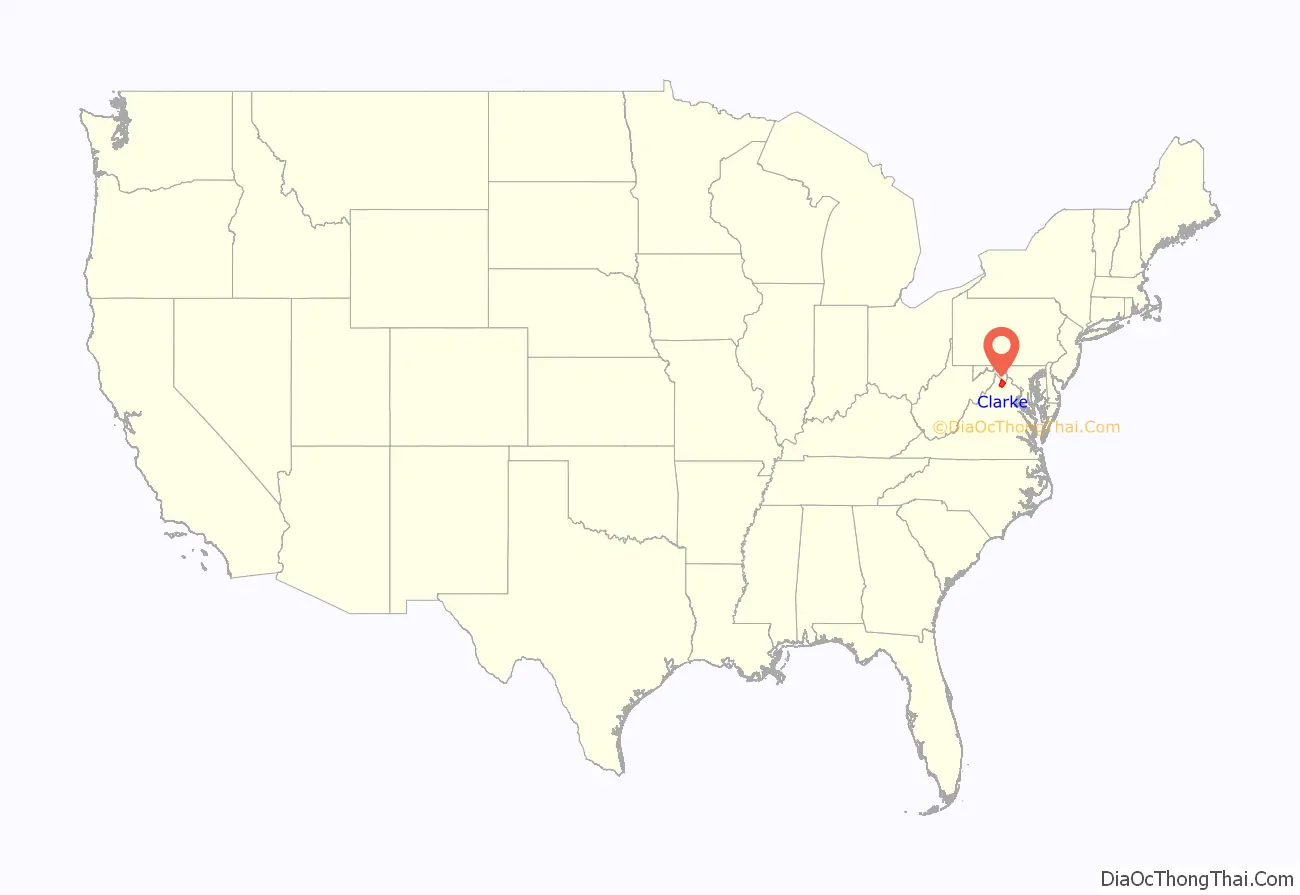
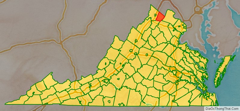
Clarke County location map. Where is Clarke County?
History
The first settlement of the Virginia Colony in the future Clarke County was in 1736 by Thomas Fairfax, 6th Lord Fairfax of Cameron who built a home, Greenway Court, on part of his 5 million acres (20,000 km) property, near what is now the village of White Post. White Post was named for the large signpost pointing the way to Lord Fairfax’s home.
As it lay just west of the Blue Ridge border demarcated under Governor Spotswood at Albany in 1722, the area was claimed along with the rest of the Shenandoah Valley by the Six Nations Iroquois (who had overrun it during the later Beaver Wars in around 1672), until the Treaty of Lancaster in 1744, when it was purchased from them by Governor Gooch.
Many of the early settlers of what became Clarke County were children of Tidewater planters, who settled on large land grants from Lord Fairfax. Two thirds of the county was settled by the plantation group, and the plantation lifestyle thrived until the Civil War. County status came in 1836, when it was divided off from Frederick County. Clarke County was known for its large crops of wheat.
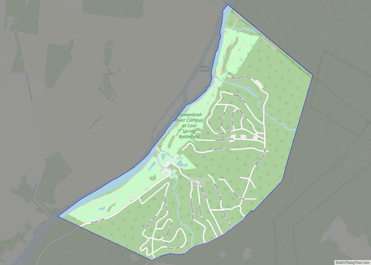
During the American Civil War, John S. Mosby, “the Gray Ghost” of the Confederacy, raided General Philip Sheridan’s supply train in the summer of 1864, in Berryville. The Battle of Cool Spring was fought in Clarke County on July 17 and 18, 1864, followed by the Battle of Berryville on September 3, 1864.
In 1881 was founded the Bank of Clarke County, a still-functional regional bank with headquarters in Berryville.
Early in the 20th century, the future Virginia politician Harry F. Byrd Sr. and his wife established their first home near Berryville, where he undertook extensive agricultural activity growing peaches and apples. Byrd became a state senator in the upper house of the Virginia General Assembly, served a term as a Governor of Virginia, and was a United States senator for over 30 years. He headed the powerful Byrd Organization, which dominated state politics between the mid-1920s and the 1960s.
In 1996, Forrest Pritchard revitalized Smithfield Farm by starting a grass-fed, sustainable livestock operation. Renamed ‘Smith Meadows’, it is currently one of the oldest fully grass-finished farms in the United States, and its story was chronicled in the New York Times bestseller Gaining Ground.
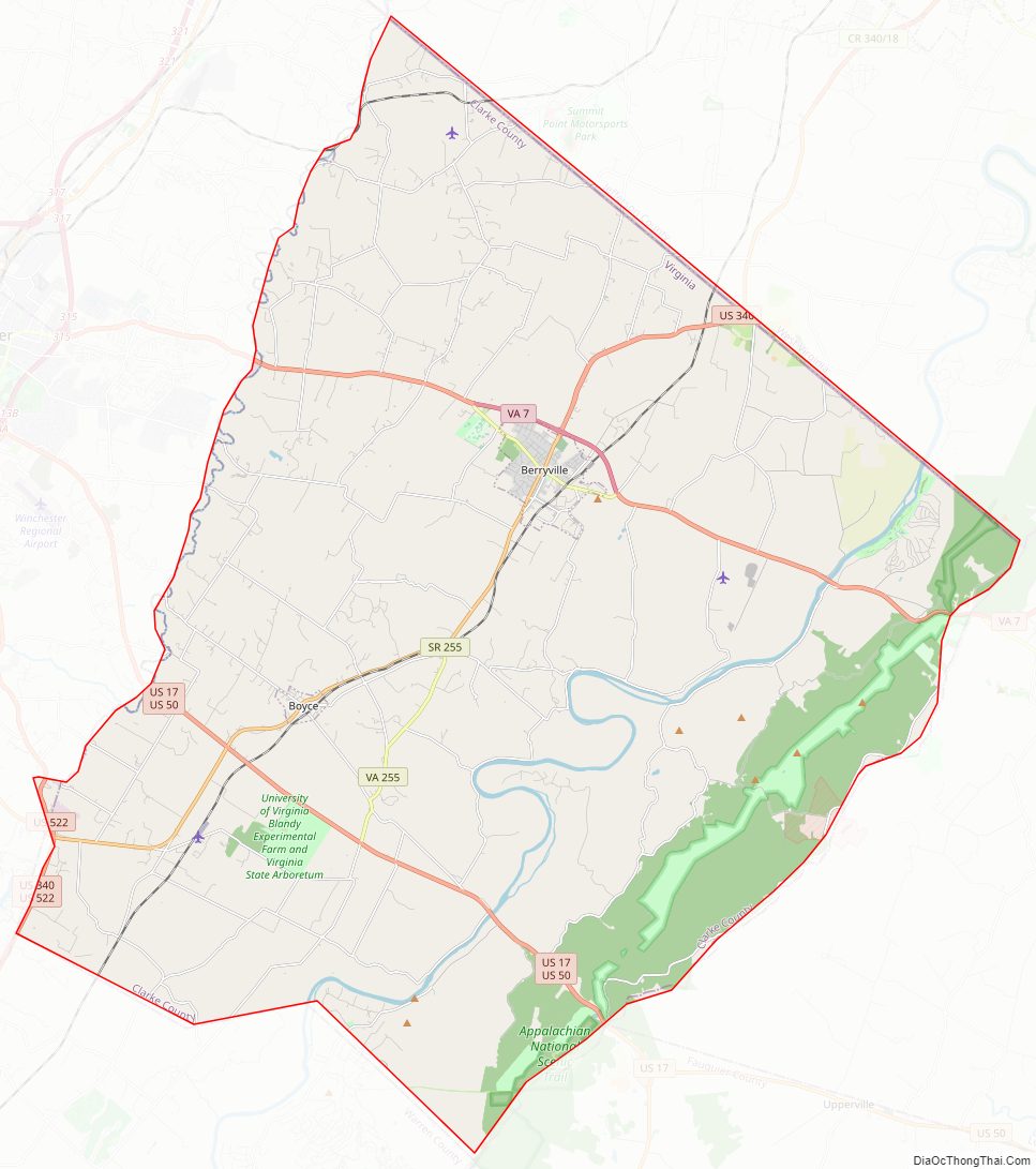
Clarke County Road Map
Geography
According to the U.S. Census Bureau, the county has a total area of 178 square miles (460 km), of which 176 square miles (460 km) is land and 2.2 square miles (5.7 km) (1.2%) is water. It is the third-smallest county in Virginia by total area.
Adjacent counties
- Loudoun County, Virginia – East
- Warren County, Virginia – Southwest
- Fauquier County, Virginia – Southeast
- Frederick County, Virginia – West
- Jefferson County, West Virginia – North
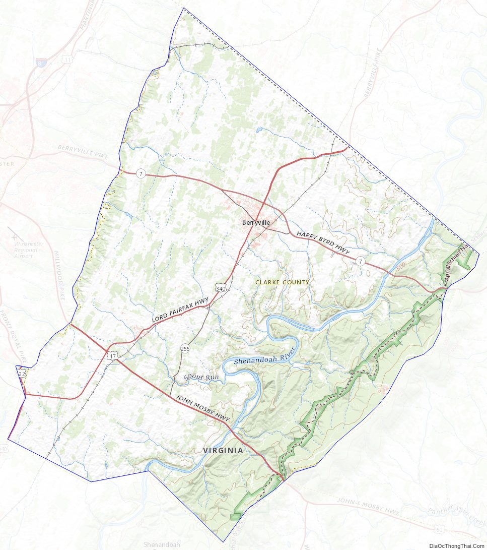
Clarke County Topographic Map
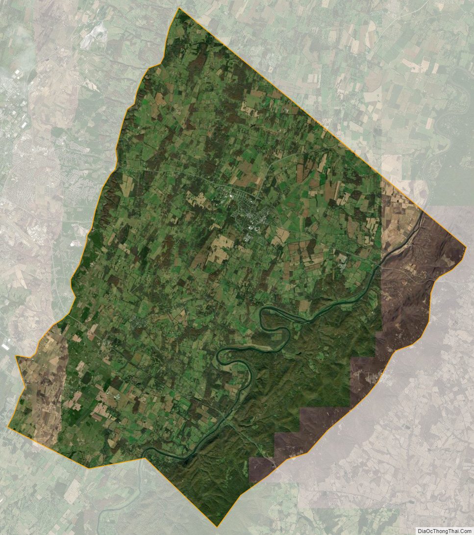
Clarke County Satellite Map
Clarke County Outline Map