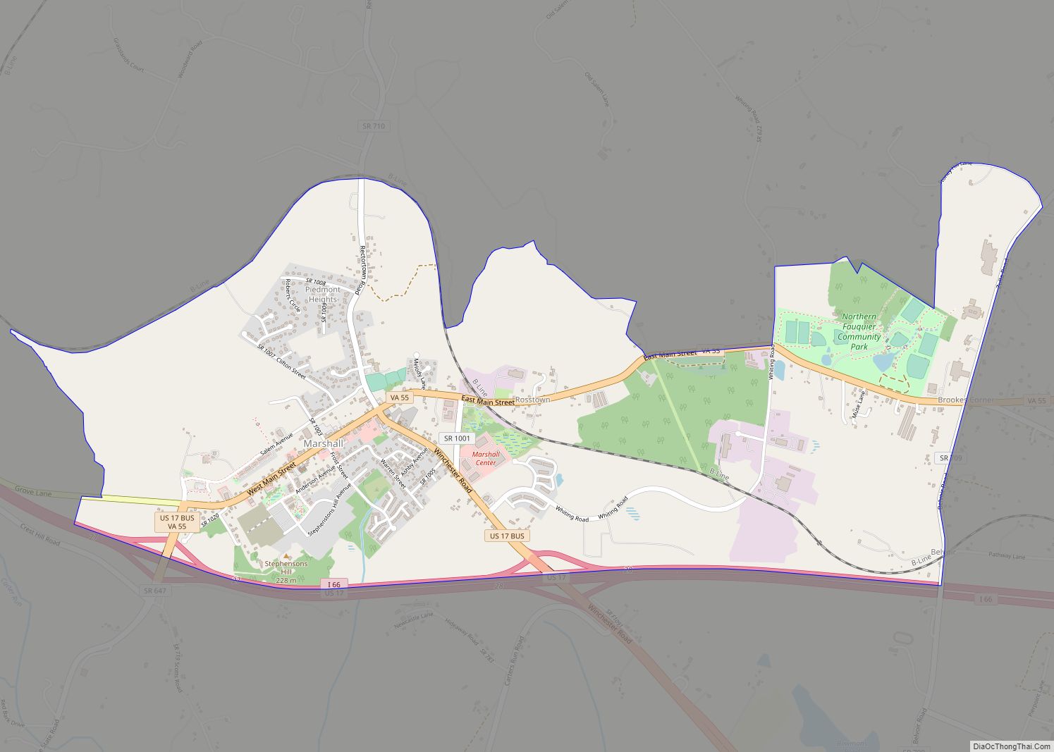
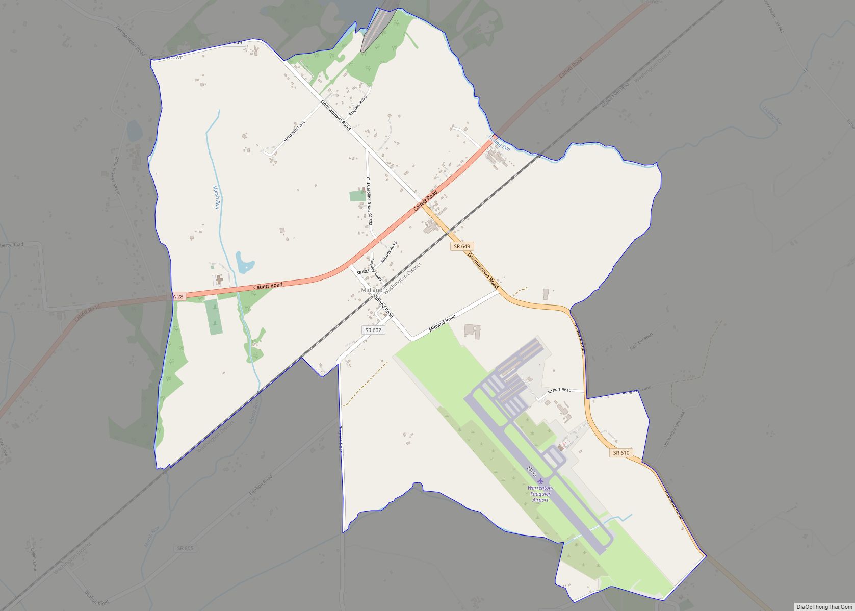
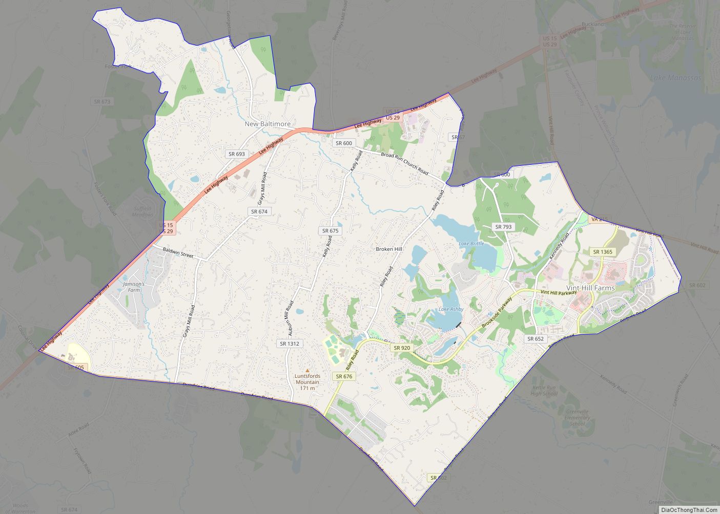
Fauquier /fɔːˈkɪər/ is a county in the Commonwealth of Virginia. As of the 2020 census, the population was 72,972. The county seat is Warrenton.
Fauquier County is in Northern Virginia and is a part of the Washington metropolitan area.
| Name: | Fauquier County |
|---|---|
| FIPS code: | 51-061 |
| State: | Virginia |
| Founded: | 1759 |
| Named for: | Francis Fauquier |
| Seat: | Warrenton |
| Largest town: | Warrenton |
| Total Area: | 651 sq mi (1,690 km²) |
| Land Area: | 647 sq mi (1,680 km²) |
| Total Population: | 72,972 |
| Population Density: | 110/sq mi (43/km²) |
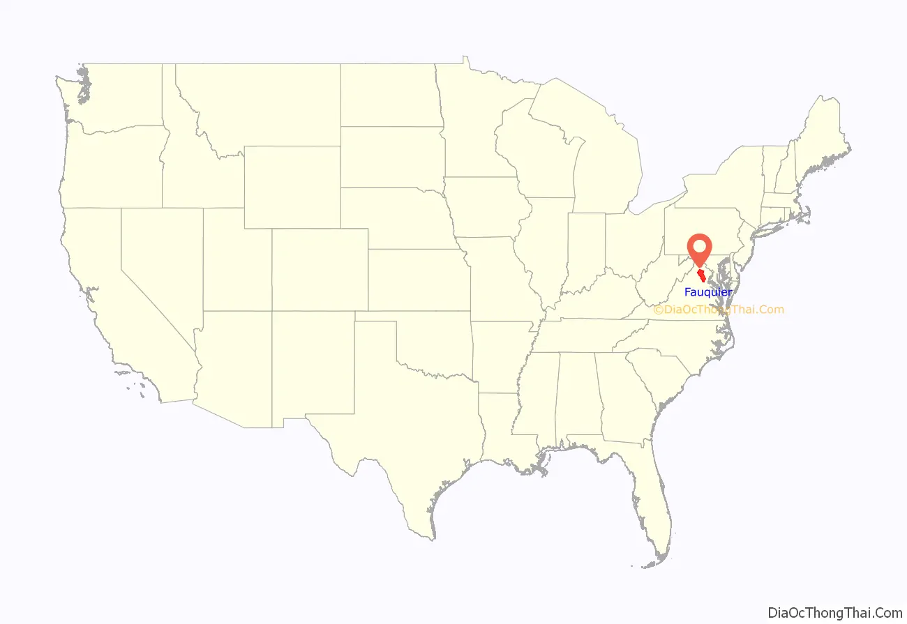
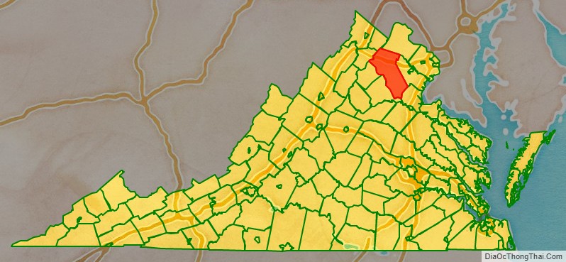
Fauquier County location map. Where is Fauquier County?
History
In 1608, the first European to explore in the vicinity, Captain John Smith, reported that the Whonkentia (a subgroup of the Siouan-speaking Manahoac tribe) inhabited the area. The Manahoac were forced out around 1670 by the Iroquois (Seneca), who did not resettle the area. The Conoy camped briefly near The Plains, from 1697 to 1699. The Six Nations ceded the entire region including modern Fauquier to Virginia Colony at the Treaty of Albany, in 1722.
Fauquier County was established on May 1, 1759, from Prince William County. It is named for Francis Fauquier, Lieutenant Governor of Virginia at the time, who won the land in a poker game, according to legend.
American Civil War battles in Fauquier County included (in order) the First Battle of Rappahannock Station, the Battle of Thoroughfare Gap, the Battle of Kelly’s Ford, the Battle of Aldie, the Battle of Middleburg, the Battle of Upperville, the First and Second Battle of Auburn, the Battle of Buckland Mills, and the Second Battle of Rappahannock Station.
Fauquier County Road Map
Geography
According to the U.S. Census Bureau, the county has an area of 651 square miles (1,690 km), of which 647 square miles (1,680 km) is land and 3.8 square miles (9.8 km) (0.6%) is water. Fauquier county is not densely populated, but exurban development from Washington, DC has sprung up in some parts. Even in rural areas, housing complexes can be seen along highways. The highest point by elevation is Blue Mountain at 2205 ft (602 meters) on the county’s northwestern border with Warren County.
Adjacent counties
- Clarke County (north)
- Loudoun County (north)
- Prince William County (east)
- Stafford County (southeast)
- Culpeper County (southwest)
- Rappahannock County (west)
- Warren County (northwest)
Major highways
- I-66
- US 15
- US 17
- US 29
- US 50
- US 211
- SR 28
- SR 55
- SR 215
- SR 245
- SR 355
Fauquier County Topographic Map

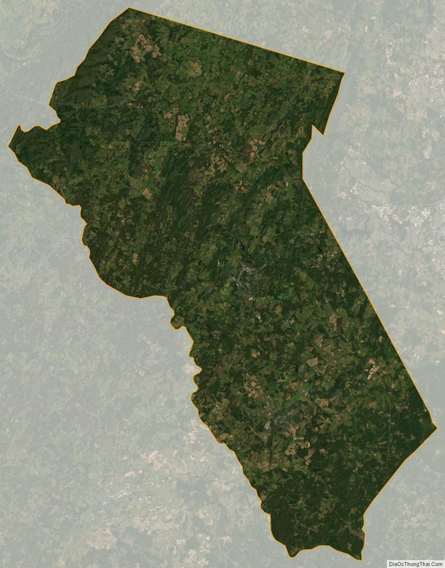
Fauquier County Satellite Map
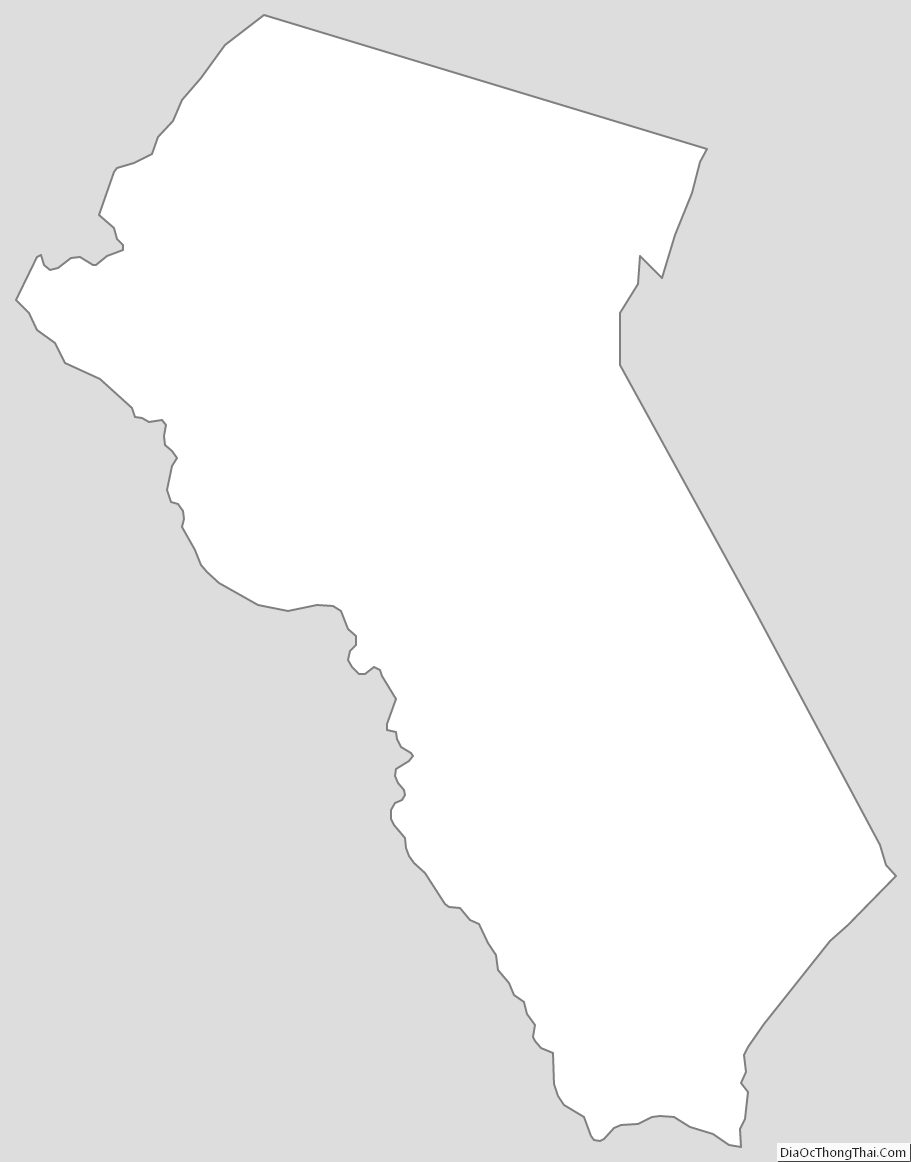
Fauquier County Outline Map