Herkimer County is a county in the U.S. state of New York. As of the 2020 census, the population was 60,139. Its county seat is Herkimer. The county was created in 1791 north of the Mohawk River out of part of Montgomery County. It is named after General Nicholas Herkimer, who died from battle wounds in 1777 after taking part in the Battle of Oriskany during the Revolutionary War.
Herkimer County is part of the Utica–Rome Metropolitan Statistical Area.
| Name: | Herkimer County |
|---|---|
| FIPS code: | 36-043 |
| State: | New York |
| Founded: | 1791 |
| Named for: | Nicholas Herkimer |
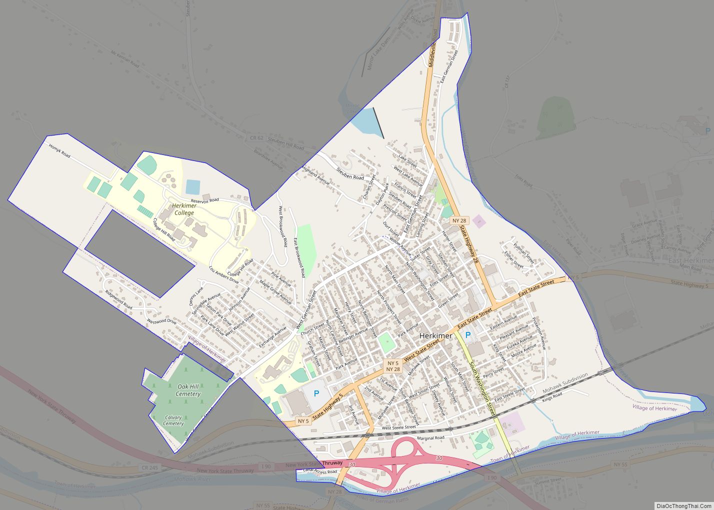
| Seat: | Herkimer |
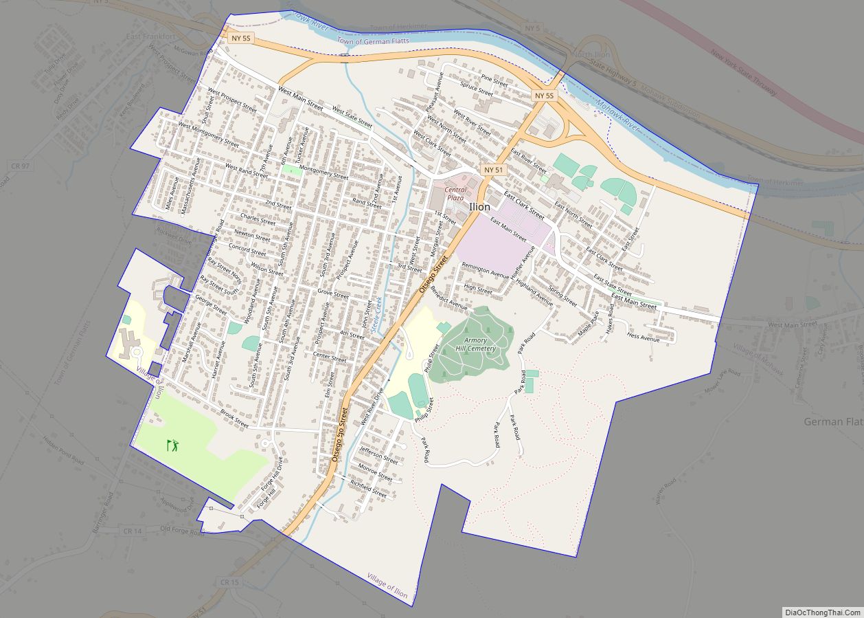
| Largest town: | German Flatts |
| Total Area: | 1,458 sq mi (3,780 km²) |
| Land Area: | 1,411 sq mi (3,650 km²) |
| Total Population: | 60,139 |
| Population Density: | 42.6/sq mi (16.4/km²) |
| Time zone: | UTC−5 (Eastern) |
| Summer Time Zone (DST): | UTC−4 (EDT) |
| Website: | www.herkimercounty.org |
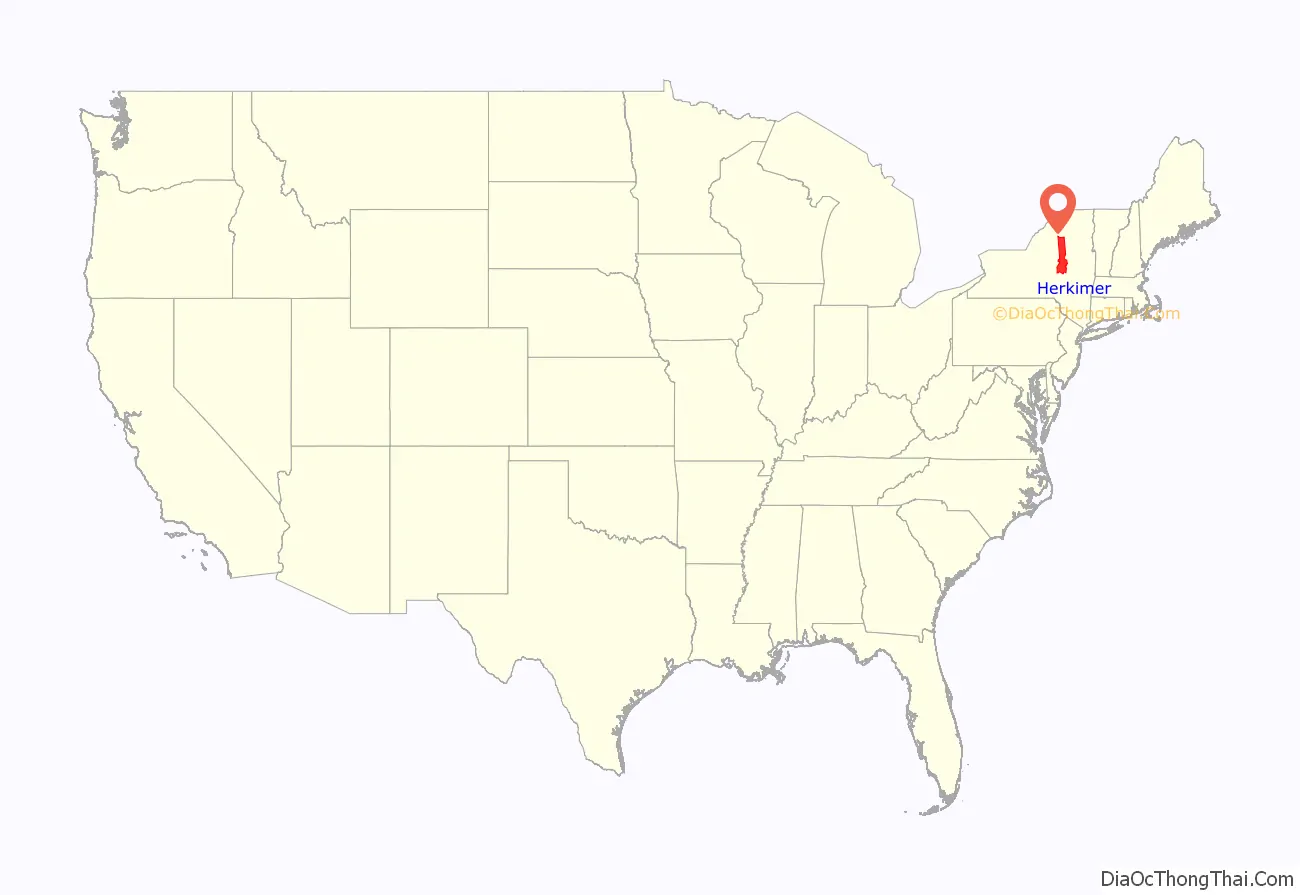
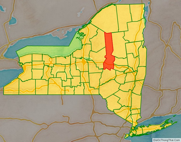
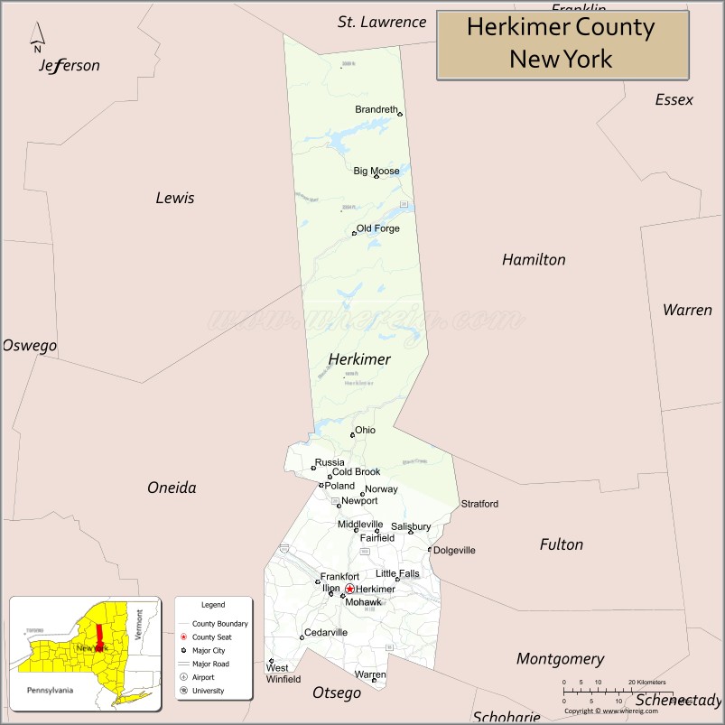
Herkimer County location map. Where is Herkimer County?
History
In 1791, Herkimer County was created as one of three counties split off from Montgomery (the other two being Otsego and Tioga counties) as New York State was developed after the American Revolutionary War. Its area was much larger than the present county, however, and was reduced subsequently as more counties were organized.
Part of Herkimer County was included in the Macomb’s Purchase of 1791, during the wide-scale sale of public lands after the state forced Iroquois tribes allied with the British during the war to cede their territory. Suddenly the state was selling 5 million acres (20,000 km) of land in upstate, central and western New York.
In 1794, Onondaga County was split off from Herkimer County. This county was larger than the current Onondaga County, and included the present Cayuga, Cortland, and part of Oswego counties.
In 1798, portions of Herkimer and Tioga counties were taken to form Chenango County.
Another part of Herkimer was split off to form Oneida County. It was then larger than the current Oneida County, including the present Jefferson, Lewis, and part of Oswego counties.
In 1802, parts of Herkimer, Clinton and Montgomery counties were combined to form the new St. Lawrence County.
The rural economy was first based on general agriculture and then wheat, but after the opening of the Erie Canal, Herkimer farmers found that they could not compete with grain farmers to the west. By the mid-19th century, they had begun to specialize in dairy farming and created a cheese industry that supplied the New York City market, among others.
During the American Civil War, Herkimer contributed five companies to the 34th New York Volunteer Infantry Regiment, leading to the unit’s nickname “The Herkimer Regiment”.
The Herkimer County Jail, constructed in 1834, was used to hold the murderer Chester Gillette before his trial at the Herkimer County Courthouse. The jail is now disused, except for tours by the Herkimer County Historical Society.
By the late 20th and early 21st centuries, some small farmers had begun to revive an artisan cheese industry and sustainable dairy farming here and in other parts of the central state. In 2008 New York had the third-largest milk production in the nation and was fourth-ranking in production of cheese, according to Cornell University. It has several inter-disciplinary programs related to the dairy industry.
The Herkimer County shootings took place in 2013, killing five people.
Herkimer County Road Map
Geography
According to the U.S. Census Bureau, the county has a total area of 1,458 square miles (3,780 km), of which 1,411 square miles (3,650 km) is land and 46 square miles (120 km) (3.2%) is water.
Adjacent counties
- St. Lawrence County – north
- Hamilton County – northeast
- Fulton County – east
- Montgomery County – southeast
- Otsego County – south
- Oneida County – west
- Lewis County – northwest
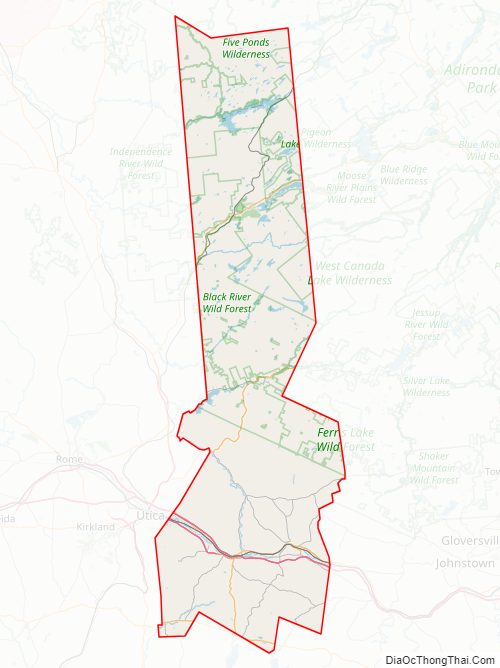
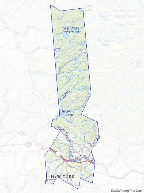
Herkimer County is in central New York State, northwest of Albany, and east of Syracuse. The northern part of the county is in the Adirondack Park. The Mohawk River flows across the southern part of the county.
Herkimer County Topographic Map
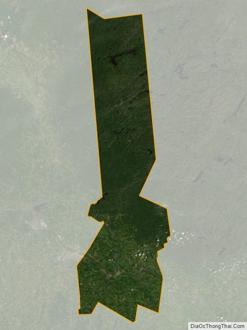
Herkimer County Satellite Map
Herkimer County Outline Map