Temple is a city in Bell County, Texas, United States. As of 2020, the city has a population of 82,073 according to the U.S. census, and is one of the two principal cities in Bell County.
Located near the county seat of Belton, Temple lies in the region referred to as Central Texas and is a principal city in the Killeen–Temple–Fort Hood metropolitan area, which as of 2015 had a population of 450,051. Located off Interstate 35, Temple is 65 miles north of Austin, 34 miles south of Waco and 27 miles east of Killeen.
The primary economic drivers are the extensive medical community (mostly due to Baylor Scott & White Medical Center – Temple) and goods distribution based on its central location between the Dallas-Fort Worth, San Antonio, and Houston metropolitan areas, and proximity to larger neighbors Austin and Waco.
| Name: | Temple city |
|---|---|
| LSAD Code: | 25 |
| LSAD Description: | city (suffix) |
| State: | Texas |
| County: | Bell County |
| Incorporated: | 1882 |
| Elevation: | 719 ft (219 m) |
| Total Area: | 76.01 sq mi (196.85 km²) |
| Land Area: | 71.17 sq mi (184.33 km²) |
| Water Area: | 4.84 sq mi (12.52 km²) |
| Total Population: | 85,416 |
| Population Density: | 1,102.14/sq mi (425.53/km²) |
| FIPS code: | 4872176 |
| GNISfeature ID: | 1369696 |
| Website: | www.templetx.gov |
Online Interactive Map
Click on ![]() to view map in "full screen" mode.
to view map in "full screen" mode.
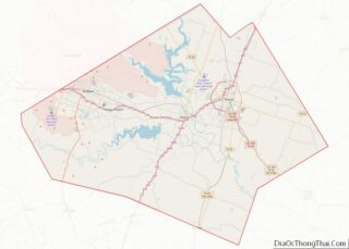
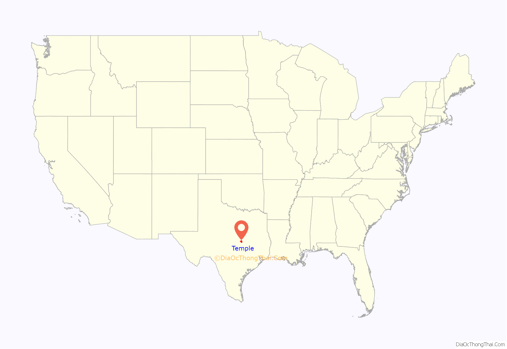
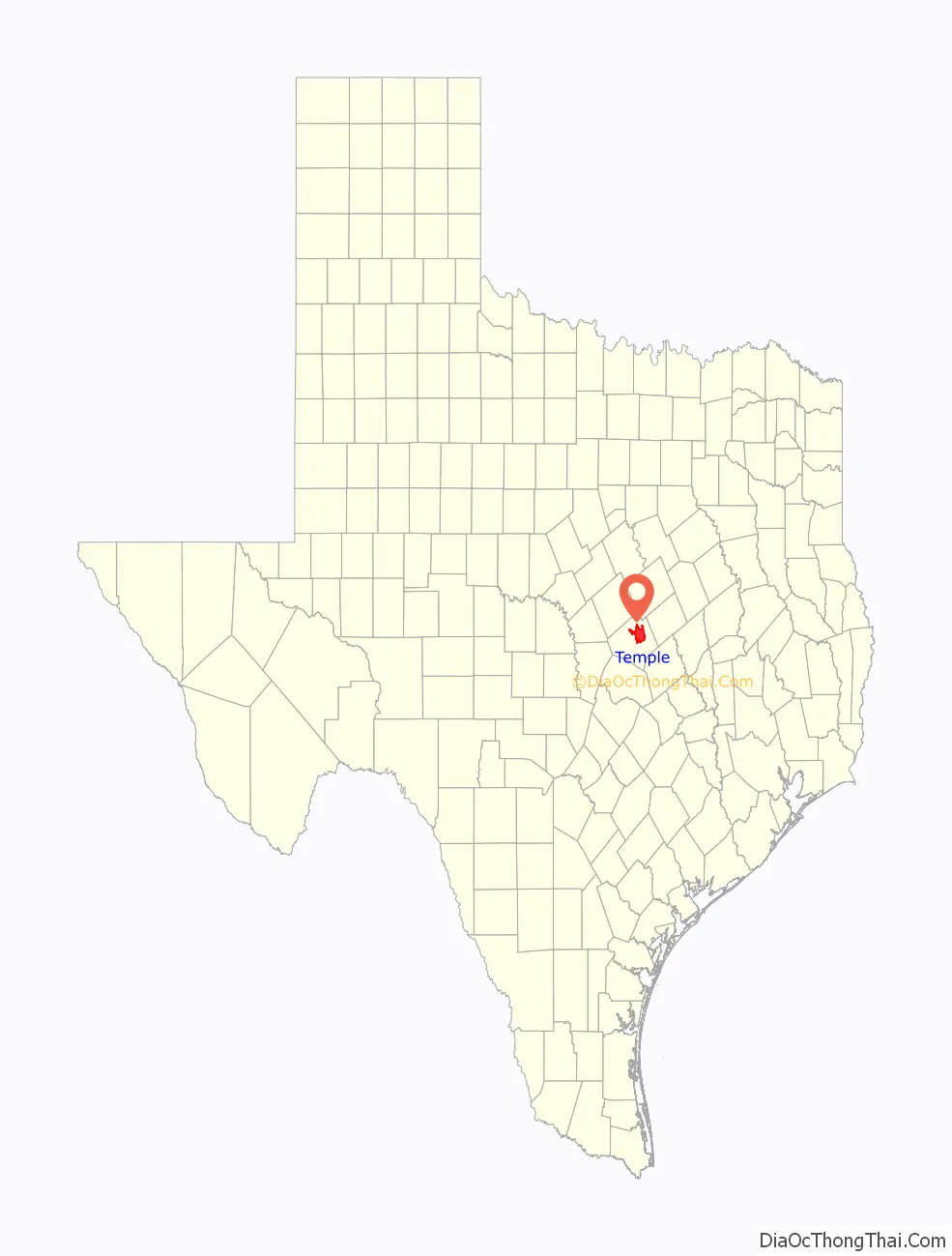
Temple location map. Where is Temple city?
History
Temple was founded as a railroad town in 1881 by the Gulf, Colorado and Santa Fe Railroad. It was incorporated in 1882. The town was named after a Santa Fe Railroad official, Bernard Moore Temple. Mr. Temple was a civil engineer and former surveyor with the Gulf, Colorado and Santa Fe Railway Company.
In 1882, the Missouri–Kansas–Texas Railroad built through the town, and soon after, the Santa Fe railroad made Temple a division point. In its early years, Temple was a town of shacks and tents with a large number of saloons and tough characters found in the early West. Locally, it was nicknamed “Tanglefoot,” because some residents found that the combination of muddy streets and liquor made walking through the town challenging.
Very shortly after the town was incorporated in 1882, two private schools were founded in the city: the Temple Academy was organized and a public school was established in 1884. In 1893, the annual Temple Stag Party began, growing out of a private Thanksgiving celebration attended by some of the town’s leading men. It was held until 1923.
The Temple Railroad and Heritage Museum, on the second floor of the Santa Fe Railroad station at 315 West Avenue B, commemorates the significance of railroads for the city.
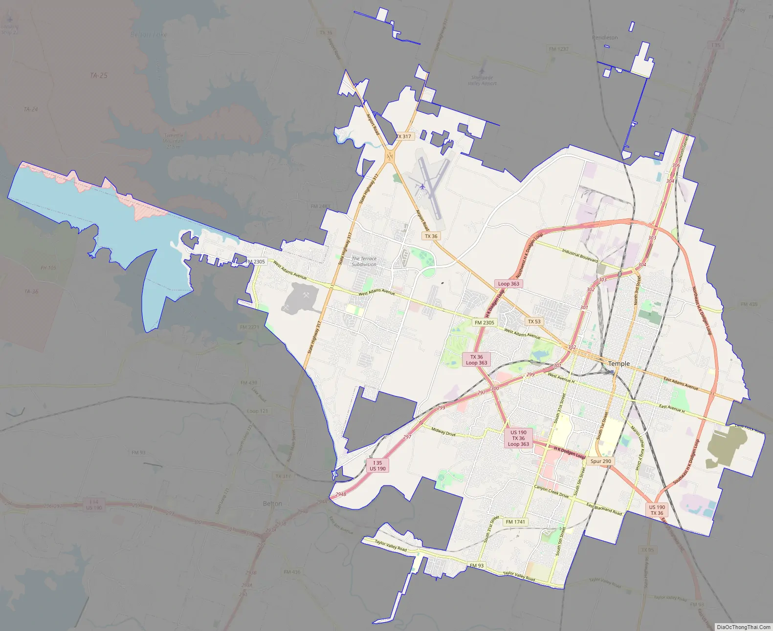
Temple Road Map
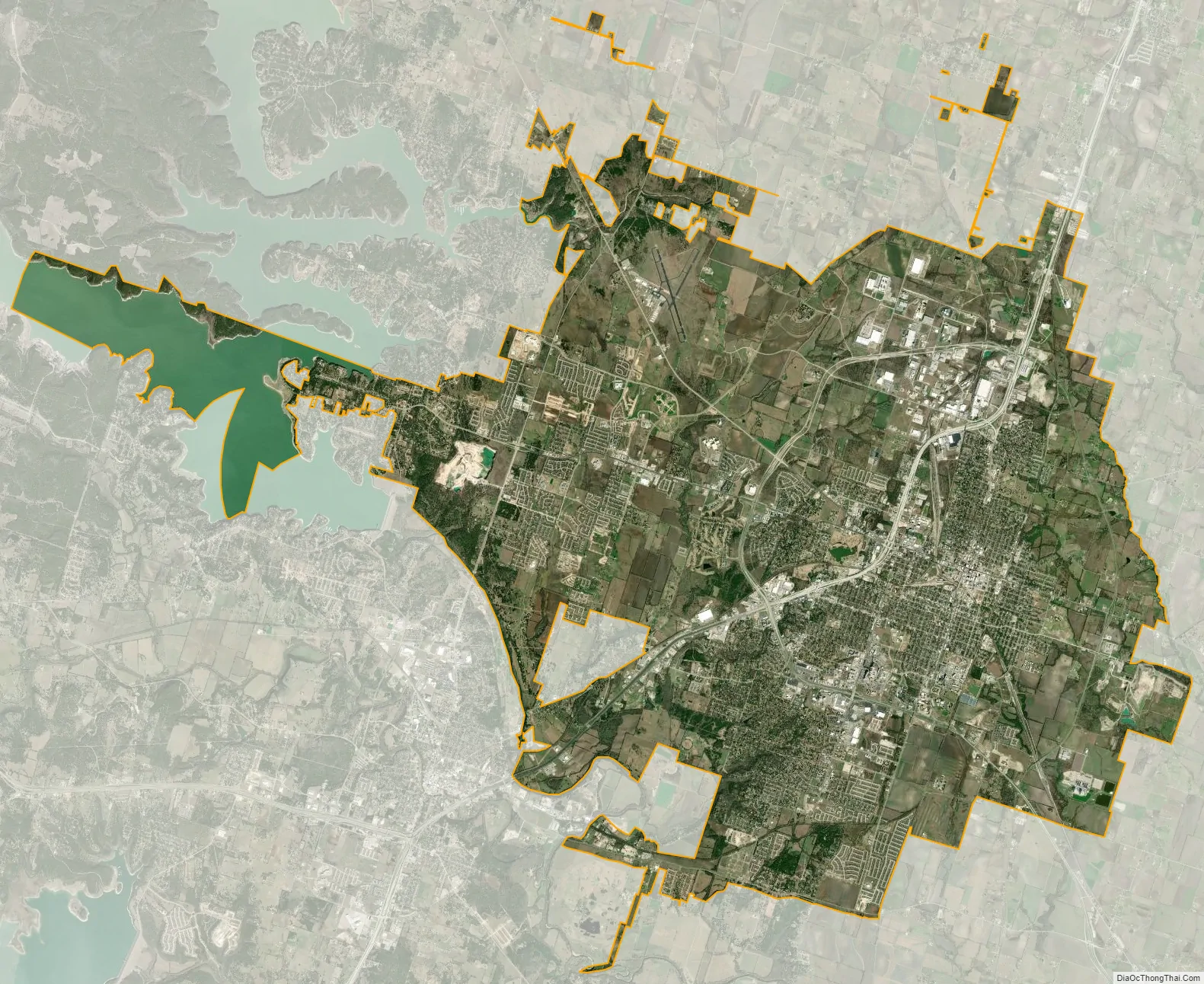
Temple city Satellite Map
Geography
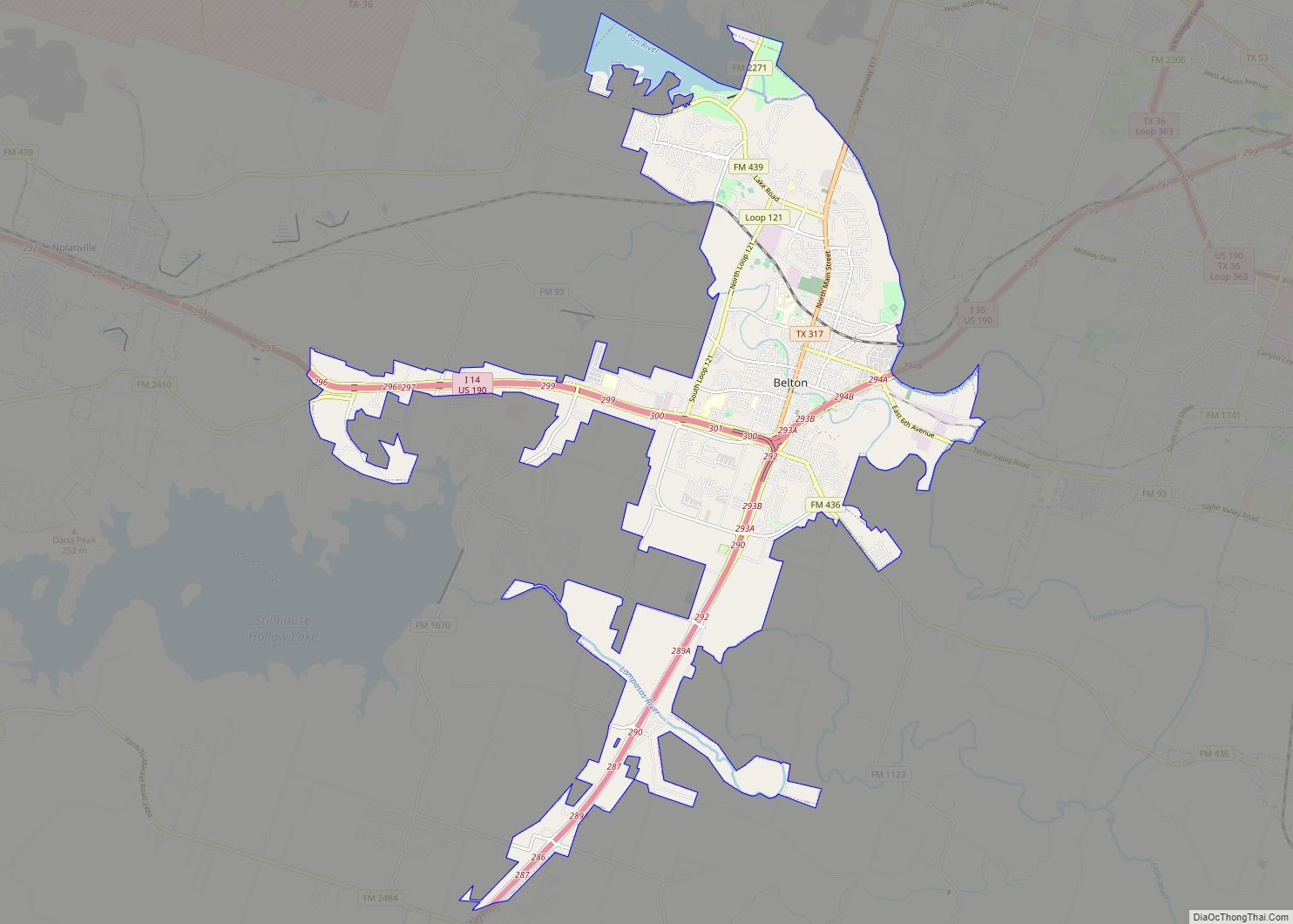
Temple is located northeast of the center of Bell County at 31°6′30″N 97°23′21″W / 31.10833°N 97.38917°W / 31.10833; -97.38917 (31.108381, −97.389125). It is the second-largest city in Bell County. It is bordered to the southwest, on the opposite side of the Leon River, by Belton, the county seat.
Temple is situated within a relatively short drive of most of the major cities of Texas: 124 mi north to Fort Worth, 130 mi north-northeast to Dallas, 65 mi southwest to Austin, 147 mi southwest to San Antonio, and 168 mi southeast to Houston. The city is located right on Interstate 35 running alongside the Balcones Fault with very mixed geography. Towards the east lies the Blackland Prairie region (a rich farming area), and towards the west, the terrain rises with low, rolling, limestone-layered hills at the northeastern tip of the Texas Hill Country.
According to the United States Census Bureau, the city has a total area of 74.9 square miles (194 km), of which, 70.1 square miles (182 km) are land and 4.8 square miles (12 km) are covered by water.
Climate
See also
Map of Texas State and its subdivision:- Anderson
- Andrews
- Angelina
- Aransas
- Archer
- Armstrong
- Atascosa
- Austin
- Bailey
- Bandera
- Bastrop
- Baylor
- Bee
- Bell
- Bexar
- Blanco
- Borden
- Bosque
- Bowie
- Brazoria
- Brazos
- Brewster
- Briscoe
- Brooks
- Brown
- Burleson
- Burnet
- Caldwell
- Calhoun
- Callahan
- Cameron
- Camp
- Carson
- Cass
- Castro
- Chambers
- Cherokee
- Childress
- Clay
- Cochran
- Coke
- Coleman
- Collin
- Collingsworth
- Colorado
- Comal
- Comanche
- Concho
- Cooke
- Coryell
- Cottle
- Crane
- Crockett
- Crosby
- Culberson
- Dallam
- Dallas
- Dawson
- Deaf Smith
- Delta
- Denton
- Dewitt
- Dickens
- Dimmit
- Donley
- Duval
- Eastland
- Ector
- Edwards
- El Paso
- Ellis
- Erath
- Falls
- Fannin
- Fayette
- Fisher
- Floyd
- Foard
- Fort Bend
- Franklin
- Freestone
- Frio
- Gaines
- Galveston
- Garza
- Gillespie
- Glasscock
- Goliad
- Gonzales
- Gray
- Grayson
- Gregg
- Grimes
- Guadalupe
- Hale
- Hall
- Hamilton
- Hansford
- Hardeman
- Hardin
- Harris
- Harrison
- Hartley
- Haskell
- Hays
- Hemphill
- Henderson
- Hidalgo
- Hill
- Hockley
- Hood
- Hopkins
- Houston
- Howard
- Hudspeth
- Hunt
- Hutchinson
- Irion
- Jack
- Jackson
- Jasper
- Jeff Davis
- Jefferson
- Jim Hogg
- Jim Wells
- Johnson
- Jones
- Karnes
- Kaufman
- Kendall
- Kenedy
- Kent
- Kerr
- Kimble
- King
- Kinney
- Kleberg
- Knox
- La Salle
- Lamar
- Lamb
- Lampasas
- Lavaca
- Lee
- Leon
- Liberty
- Limestone
- Lipscomb
- Live Oak
- Llano
- Loving
- Lubbock
- Lynn
- Madison
- Marion
- Martin
- Mason
- Matagorda
- Maverick
- McCulloch
- McLennan
- McMullen
- Medina
- Menard
- Midland
- Milam
- Mills
- Mitchell
- Montague
- Montgomery
- Moore
- Morris
- Motley
- Nacogdoches
- Navarro
- Newton
- Nolan
- Nueces
- Ochiltree
- Oldham
- Orange
- Palo Pinto
- Panola
- Parker
- Parmer
- Pecos
- Polk
- Potter
- Presidio
- Rains
- Randall
- Reagan
- Real
- Red River
- Reeves
- Refugio
- Roberts
- Robertson
- Rockwall
- Runnels
- Rusk
- Sabine
- San Augustine
- San Jacinto
- San Patricio
- San Saba
- Schleicher
- Scurry
- Shackelford
- Shelby
- Sherman
- Smith
- Somervell
- Starr
- Stephens
- Sterling
- Stonewall
- Sutton
- Swisher
- Tarrant
- Taylor
- Terrell
- Terry
- Throckmorton
- Titus
- Tom Green
- Travis
- Trinity
- Tyler
- Upshur
- Upton
- Uvalde
- Val Verde
- Van Zandt
- Victoria
- Walker
- Waller
- Ward
- Washington
- Webb
- Wharton
- Wheeler
- Wichita
- Wilbarger
- Willacy
- Williamson
- Wilson
- Winkler
- Wise
- Wood
- Yoakum
- Young
- Zapata
- Zavala
- Alabama
- Alaska
- Arizona
- Arkansas
- California
- Colorado
- Connecticut
- Delaware
- District of Columbia
- Florida
- Georgia
- Hawaii
- Idaho
- Illinois
- Indiana
- Iowa
- Kansas
- Kentucky
- Louisiana
- Maine
- Maryland
- Massachusetts
- Michigan
- Minnesota
- Mississippi
- Missouri
- Montana
- Nebraska
- Nevada
- New Hampshire
- New Jersey
- New Mexico
- New York
- North Carolina
- North Dakota
- Ohio
- Oklahoma
- Oregon
- Pennsylvania
- Rhode Island
- South Carolina
- South Dakota
- Tennessee
- Texas
- Utah
- Vermont
- Virginia
- Washington
- West Virginia
- Wisconsin
- Wyoming