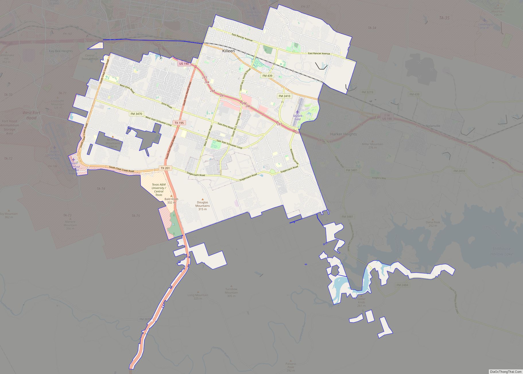
Killeen is a city in Bell County, Texas, United States. According to the 2020 census, its population was 153,095, making it the 19th-most populous city in Texas and the largest of the three principal cities of Bell County. It is the principal city of the Killeen–Temple–Fort Hood Metropolitan Statistical Area. Killeen is 55 miles (89 km) north of Austin, 125 miles (201 km) southwest of Dallas, and 125 miles (201 km) northeast of San Antonio.
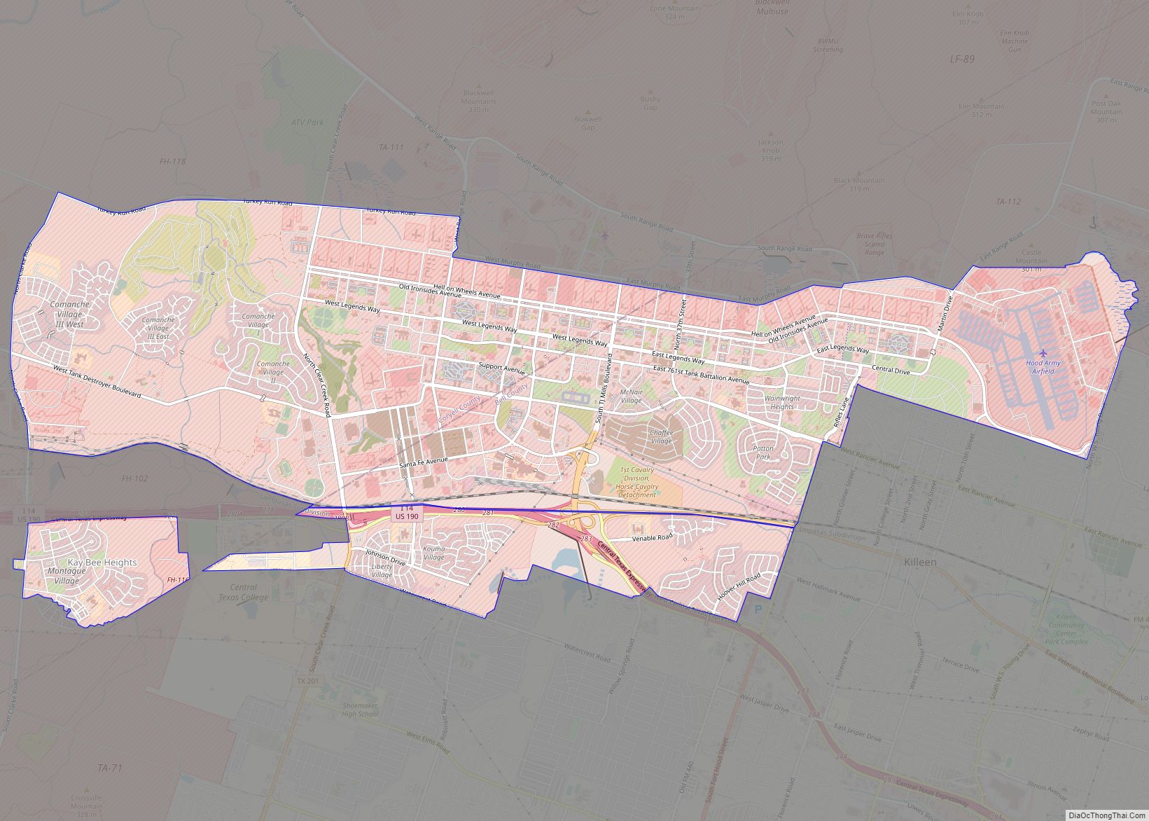
Killeen is directly adjacent to the main cantonment of Fort Hood. Its economy depends on the activities of the post, and the soldiers and their families stationed there. It is known as a military “boom town” because of its rapid growth and high influx of soldiers.
| Name: | Killeen city |
|---|---|
| LSAD Code: | 25 |
| LSAD Description: | city (suffix) |
| State: | Texas |
| County: | Bell County |
| Elevation: | 890 ft (270 m) |
| Land Area: | 54.85 sq mi (142.06 km²) |
| Water Area: | 0.65 sq mi (1.69 km²) |
| Population Density: | 2,765.16/sq mi (1,067.63/km²) |
| ZIP code: | 76540, 76541, 76542, 76543, 76548, 76549 |
| Area code: | 254 |
| FIPS code: | 4839148 |
| GNISfeature ID: | 1360642 |
| Website: | www.killeentexas.gov |
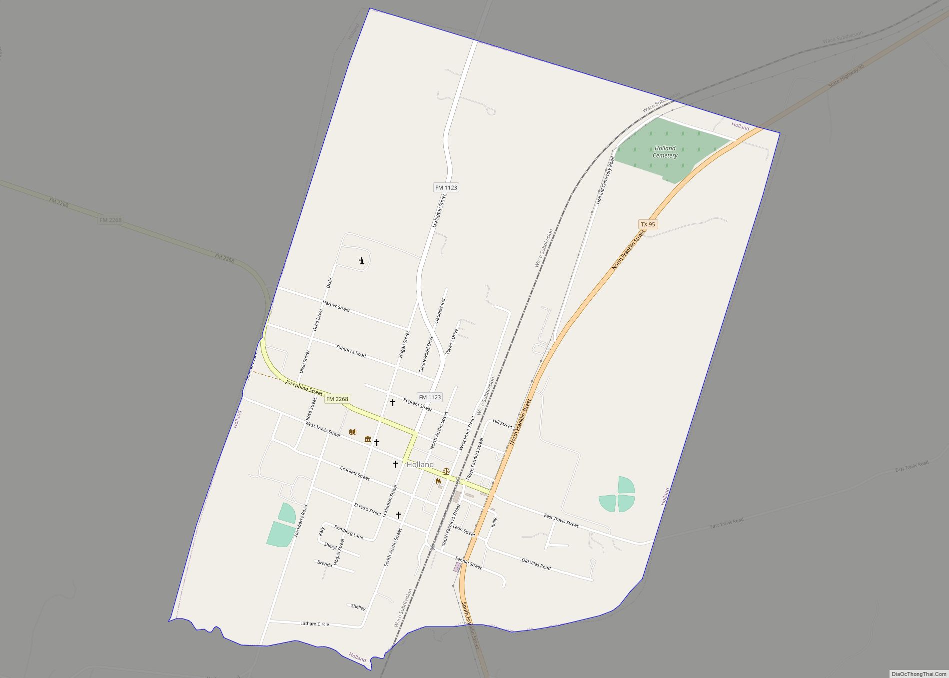
Online Interactive Map
Click on ![]() to view map in "full screen" mode.
to view map in "full screen" mode.
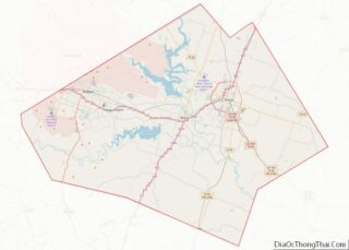
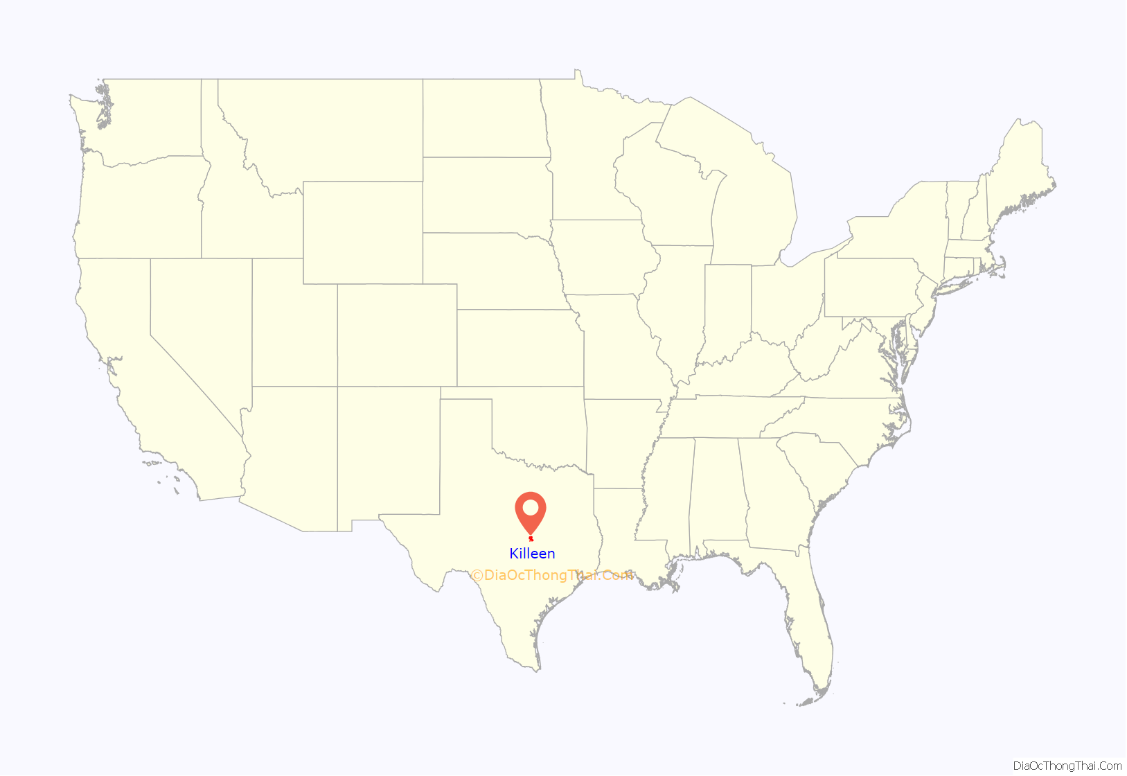
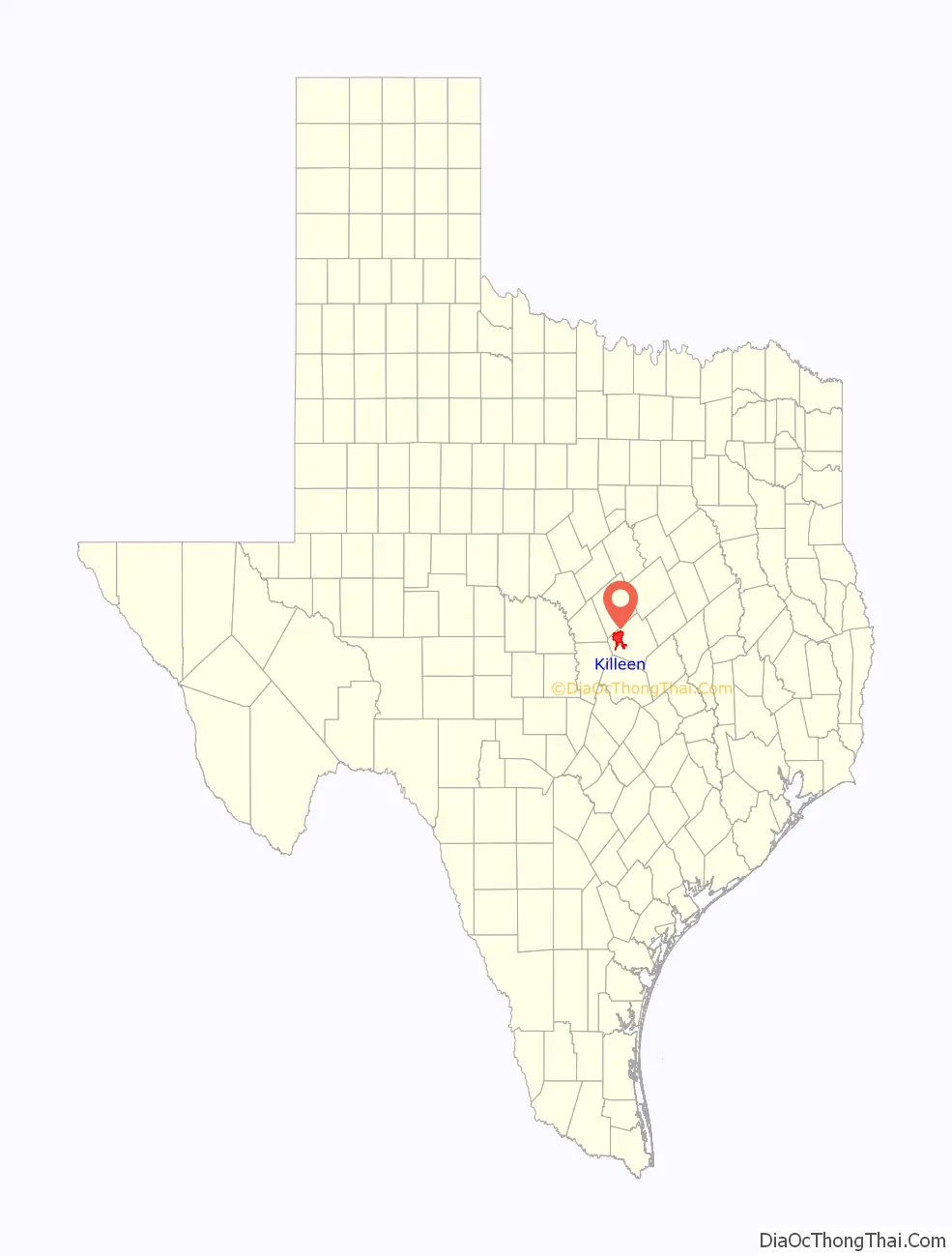
Killeen location map. Where is Killeen city?
History
In 1881, the Gulf, Colorado and Santa Fe Railway extended its tracks through central Texas, buying 360 acres (1.5 km) a few miles southwest of a small farming community known as Palo Alto, which had existed since about 1872. The railroad platted a 70-block town on its land and named it after Frank P. Killeen, the assistant general manager of the railroad. By the next year, the town included a railroad depot, a saloon, several stores, and a school. Many of the residents of the surrounding smaller communities in the area moved to Killeen. By 1884, the town had grown to include about 350 people, served by five general stores, two gristmills, two cotton gins, two saloons, a lumberyard, a blacksmith shop, and a hotel.
Killeen expanded as it became an important shipping point for cotton, wool, and grain in western Bell and eastern Coryell Counties. By 1900, its population was about 780.
Around 1905, local politicians and businessmen convinced the Texas legislature to build bridges over Cowhouse Creek and other streams, doubling Killeen’s trade area. A public water system began operation in 1914 and its population had increased to 1,300 residents.
Until the 1940s, Killeen remained a relatively small and isolated farm trade center. The buildup associated with World War II changed that dramatically. In 1942, Camp Hood (recommissioned as Fort Hood in 1950) was created as a military training post to meet war demands. Laborers, construction workers, contractors, soldiers, and their families moved into the area by the thousands, and Killeen became a military boomtown. The opening of Camp Hood radically altered the nature of the local economy, since the sprawling new military post covered almost half of Killeen’s farming trade area.
The loss of more than 300 farms and ranches led to the demise of Killeen’s cotton gins and other farm-related businesses. New businesses were started to provide services for the military camp. Killeen then suffered a recession when Camp Hood was all but abandoned after the end of the Second World War, but when Southern congressmen got it established in 1950 as a permanent army post, the city boomed again. Its population increased from about 1,300 in 1949 to 7,045 in 1950, and between 1950 and 1951, about 100 new commercial buildings were constructed in Killeen.
In addition to shaping local economic development after 1950, the military presence at Fort Hood also changed the city’s racial, religious, and ethnic composition. No blacks lived in the city in 1950, for example. By the early 1950s, Marlboro Heights, an all-black subdivision, had been developed. In 1956, the city school board voted to integrate the local high school. The city’s first resident Catholic priest was assigned to the St. Joseph’s parish in 1954, and around the same time, new Presbyterian and Episcopal churches were built.
By 1955, Killeen had an estimated 21,076 residents and 224 businesses. Troop cutbacks and transfers in the mid-1950s led to another recession in Killeen, which lasted until 1959, when various divisions were reassigned to Fort Hood. The town continued to grow through the 1960s, especially after US involvement deepened in the Vietnam War and demand for troops kept rising.
By 1970, Killeen had developed into a city of 35,507 inhabitants and had added a municipal airport, a new municipal library, and a junior college (Central Texas College). By 1980, when the census counted 49,307 people in Killeen, it was the largest city in Bell County. The city had a heterogeneous population including whites, blacks, Mexican Americans, Koreans, and a number of other foreign nationals. By 1990, the population had increased to 63,535, and 265,301 people lived in the Killeen/Temple metropolitan area.
After the Iraqi invasion of Kuwait in the late summer of 1990, the city prepared for war, sending thousands of troops from the 2nd Armored Division and the 1st Cavalry Division to the Middle East.
On October 16, 1991, George Hennard murdered 23 people and then committed suicide at the Luby’s Cafeteria in Killeen (see Luby’s shooting).
In December 1991, one of Killeen’s high school football teams, the Killeen Kangaroos, won the 5-A Division I state football championship by defeating Sugar Land Dulles 14–10 in the Astrodome.
By 2000, the census listed Killeen’s population as 86,911, and by 2010, it was over 127,000, making it one of the fastest-growing areas in the nation.
Numerous military personnel from Killeen have served in the wars in Iraq and Afghanistan. As of April 2008, more than 400 of its soldiers had died in the two wars.
On November 5, 2009, only a few miles from the site of the Luby’s massacre, a gunman opened fire on people at the Fort Hood military base with a handgun, killing 13 and wounding 32. Major Nidal Hasan, a career officer and psychiatrist, sustained four gunshot wounds after a brief shootout with a civilian police officer. He suffered paralysis from the waist down. He was arrested and convicted by a court-martial, where he was sentenced to death.
In 2011, Killeen got media attention from a new television series called Surprise Homecoming, hosted by Billy Ray Cyrus, about military families who have loved ones returning home from overseas.
On April 2, 2014, a second shooting spree occurred at several locations at Fort Hood. Ivan Lopez, a career soldier, killed three people and wounded 16 others before committing suicide.
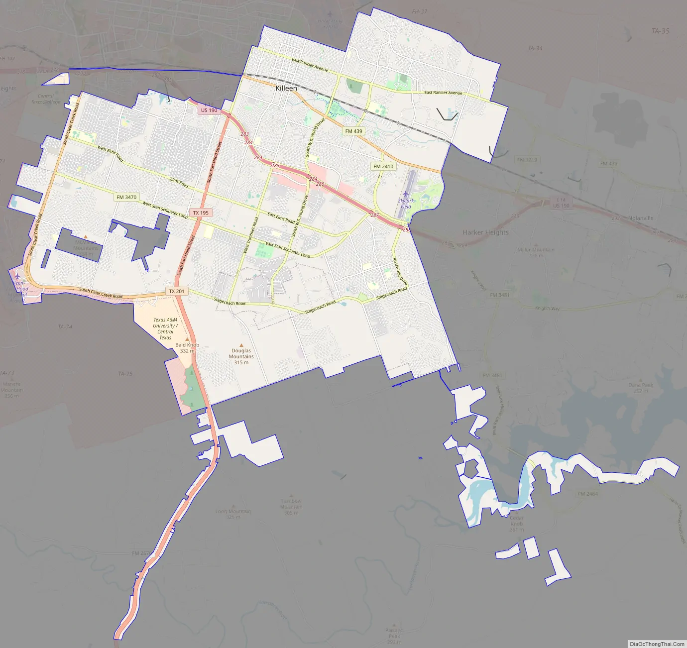
Killeen Road Map
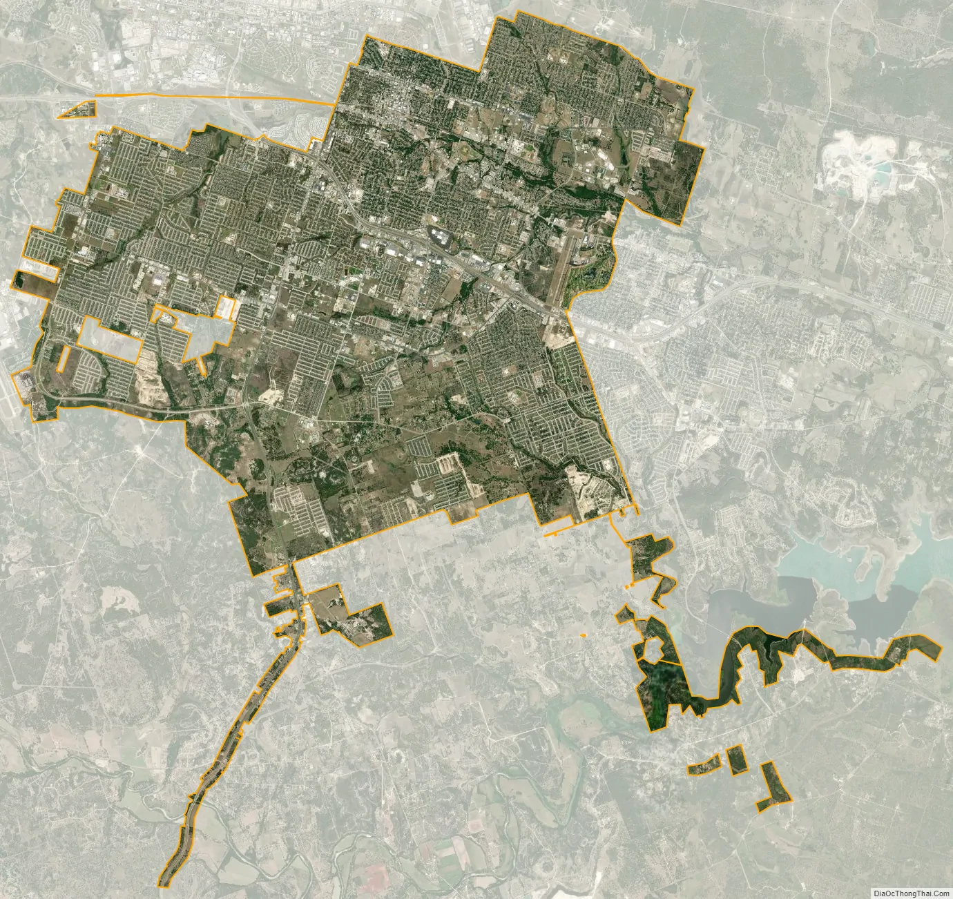
Killeen city Satellite Map
Geography
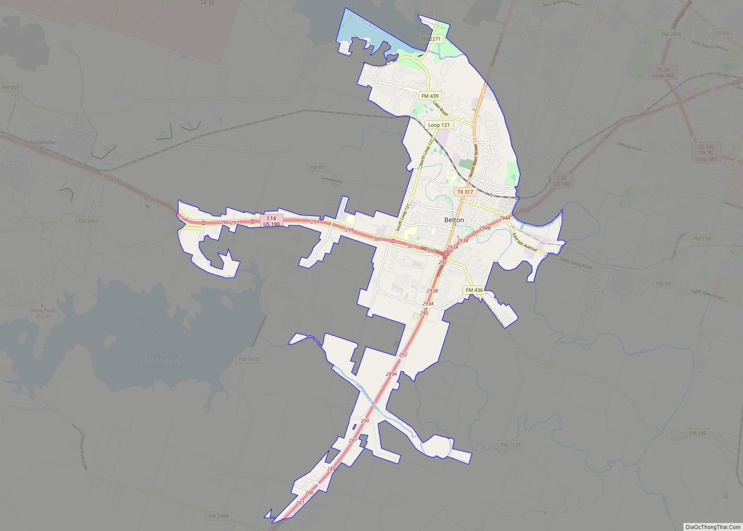
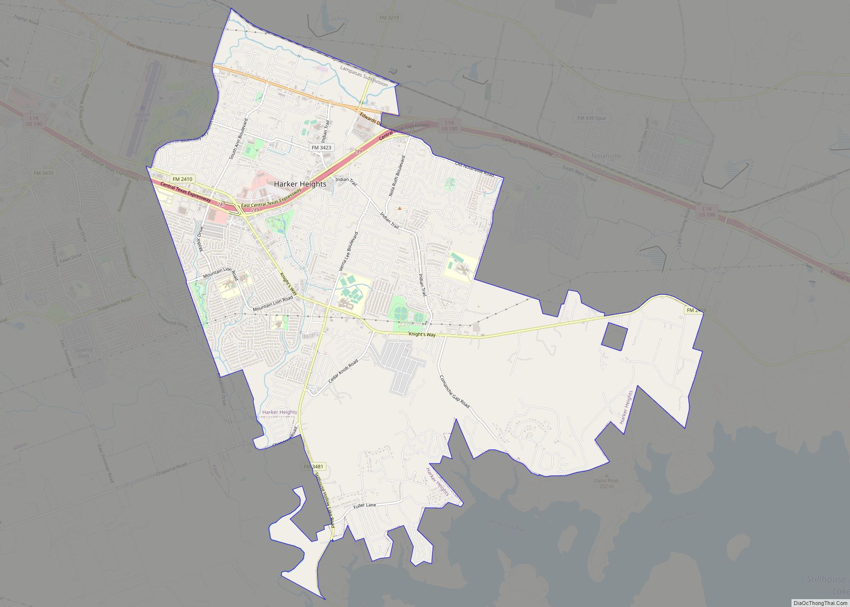
Killeen is located in western Bell County at 31°6′20″N 97°43′36″W / 31.10556°N 97.72667°W / 31.10556; -97.72667 (31.105591, −97.726586). It is bordered to the north by Fort Hood and to the east by Harker Heights. Killeen is 16 miles (26 km) west of Belton, the county seat and nearest access to Interstate 35.
According to the United States Census Bureau, the city has a total area of 54.2 square miles (140.5 km), of which 53.6 square miles (138.8 km) is land and 0.66 square miles (1.7 km), or 1.24%, is covered by water.
Climate
According to the Köppen Climate Classification system, Killeen has a humid subtropical climate, abbreviated “Cfa” on climate maps. The hottest temperature recorded in Killeen was 112 °F (44.4 °C) on September 4, 2000 and September 6, 2000, while the coldest temperature recorded was −2 °F (−18.9 °C) on December 23–24, 1989.
See also
Map of Texas State and its subdivision:- Anderson
- Andrews
- Angelina
- Aransas
- Archer
- Armstrong
- Atascosa
- Austin
- Bailey
- Bandera
- Bastrop
- Baylor
- Bee
- Bell
- Bexar
- Blanco
- Borden
- Bosque
- Bowie
- Brazoria
- Brazos
- Brewster
- Briscoe
- Brooks
- Brown
- Burleson
- Burnet
- Caldwell
- Calhoun
- Callahan
- Cameron
- Camp
- Carson
- Cass
- Castro
- Chambers
- Cherokee
- Childress
- Clay
- Cochran
- Coke
- Coleman
- Collin
- Collingsworth
- Colorado
- Comal
- Comanche
- Concho
- Cooke
- Coryell
- Cottle
- Crane
- Crockett
- Crosby
- Culberson
- Dallam
- Dallas
- Dawson
- Deaf Smith
- Delta
- Denton
- Dewitt
- Dickens
- Dimmit
- Donley
- Duval
- Eastland
- Ector
- Edwards
- El Paso
- Ellis
- Erath
- Falls
- Fannin
- Fayette
- Fisher
- Floyd
- Foard
- Fort Bend
- Franklin
- Freestone
- Frio
- Gaines
- Galveston
- Garza
- Gillespie
- Glasscock
- Goliad
- Gonzales
- Gray
- Grayson
- Gregg
- Grimes
- Guadalupe
- Hale
- Hall
- Hamilton
- Hansford
- Hardeman
- Hardin
- Harris
- Harrison
- Hartley
- Haskell
- Hays
- Hemphill
- Henderson
- Hidalgo
- Hill
- Hockley
- Hood
- Hopkins
- Houston
- Howard
- Hudspeth
- Hunt
- Hutchinson
- Irion
- Jack
- Jackson
- Jasper
- Jeff Davis
- Jefferson
- Jim Hogg
- Jim Wells
- Johnson
- Jones
- Karnes
- Kaufman
- Kendall
- Kenedy
- Kent
- Kerr
- Kimble
- King
- Kinney
- Kleberg
- Knox
- La Salle
- Lamar
- Lamb
- Lampasas
- Lavaca
- Lee
- Leon
- Liberty
- Limestone
- Lipscomb
- Live Oak
- Llano
- Loving
- Lubbock
- Lynn
- Madison
- Marion
- Martin
- Mason
- Matagorda
- Maverick
- McCulloch
- McLennan
- McMullen
- Medina
- Menard
- Midland
- Milam
- Mills
- Mitchell
- Montague
- Montgomery
- Moore
- Morris
- Motley
- Nacogdoches
- Navarro
- Newton
- Nolan
- Nueces
- Ochiltree
- Oldham
- Orange
- Palo Pinto
- Panola
- Parker
- Parmer
- Pecos
- Polk
- Potter
- Presidio
- Rains
- Randall
- Reagan
- Real
- Red River
- Reeves
- Refugio
- Roberts
- Robertson
- Rockwall
- Runnels
- Rusk
- Sabine
- San Augustine
- San Jacinto
- San Patricio
- San Saba
- Schleicher
- Scurry
- Shackelford
- Shelby
- Sherman
- Smith
- Somervell
- Starr
- Stephens
- Sterling
- Stonewall
- Sutton
- Swisher
- Tarrant
- Taylor
- Terrell
- Terry
- Throckmorton
- Titus
- Tom Green
- Travis
- Trinity
- Tyler
- Upshur
- Upton
- Uvalde
- Val Verde
- Van Zandt
- Victoria
- Walker
- Waller
- Ward
- Washington
- Webb
- Wharton
- Wheeler
- Wichita
- Wilbarger
- Willacy
- Williamson
- Wilson
- Winkler
- Wise
- Wood
- Yoakum
- Young
- Zapata
- Zavala
- Alabama
- Alaska
- Arizona
- Arkansas
- California
- Colorado
- Connecticut
- Delaware
- District of Columbia
- Florida
- Georgia
- Hawaii
- Idaho
- Illinois
- Indiana
- Iowa
- Kansas
- Kentucky
- Louisiana
- Maine
- Maryland
- Massachusetts
- Michigan
- Minnesota
- Mississippi
- Missouri
- Montana
- Nebraska
- Nevada
- New Hampshire
- New Jersey
- New Mexico
- New York
- North Carolina
- North Dakota
- Ohio
- Oklahoma
- Oregon
- Pennsylvania
- Rhode Island
- South Carolina
- South Dakota
- Tennessee
- Texas
- Utah
- Vermont
- Virginia
- Washington
- West Virginia
- Wisconsin
- Wyoming