Taos /taʊs/ is a town in Taos County in the north-central region of New Mexico in the Sangre de Cristo Mountains. Initially founded in 1615, it was intermittently occupied until its formal establishment in 1795 by Nuevo México Governor Fernando Chacón to act as fortified plaza and trading outpost for the neighboring Native American Taos Pueblo (the town’s namesake) and Hispano communities, including Ranchos de Taos, Cañon, Taos Canyon, Ranchitos, El Prado, and Arroyo Seco. The town was incorporated in 1934. As of the 2010 census, its population was 5,716.
Taos is the county seat of Taos County. The English name Taos derives from the native Taos language meaning “(place of) red willows”.
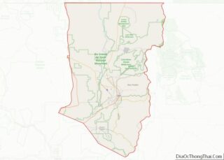
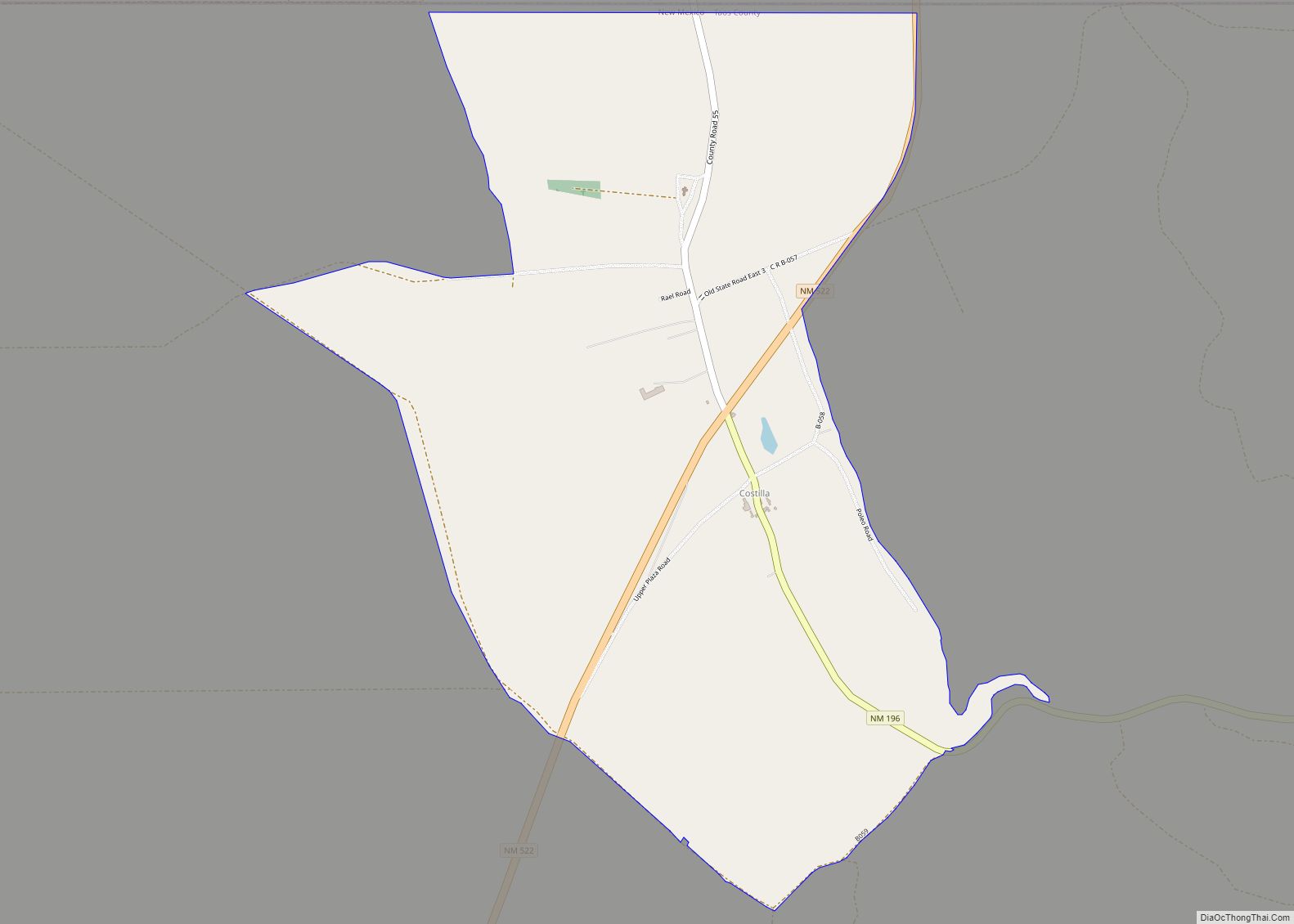
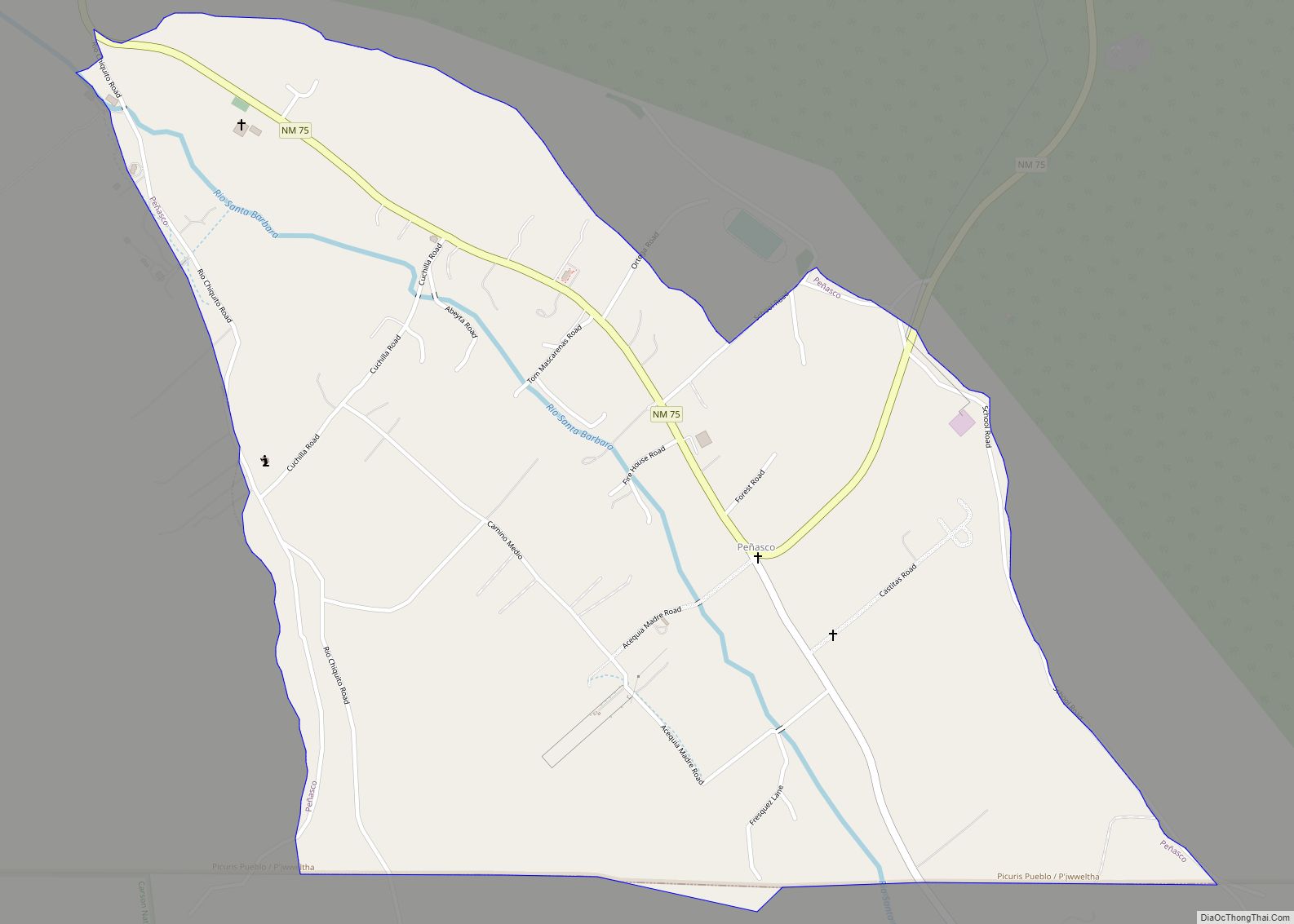
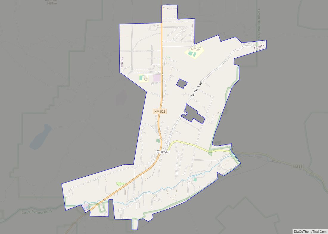
Taos is the principal town of the Taos, NM, Micropolitan Statistical Area, which includes all of Taos County.
| Name: | Taos town |
|---|---|
| LSAD Code: | 43 |
| LSAD Description: | town (suffix) |
| State: | New Mexico |
| County: | Taos County |
| Founded: | 1795 |
| Elevation: | 6,969 ft (2,124 m) |
| Total Area: | 6.04 sq mi (15.64 km²) |
| Land Area: | 6.04 sq mi (15.64 km²) |
| Water Area: | 0.00 sq mi (0.00 km²) |
| Total Population: | 6,474 |
| Population Density: | 1,072.03/sq mi (413.94/km²) |
| ZIP code: | 87571 |
| Area code: | 575 |
| FIPS code: | 3576200 |
| GNISfeature ID: | 0911545 |
| Website: | www.taosgov.com |
Online Interactive Map
Click on ![]() to view map in "full screen" mode.
to view map in "full screen" mode.
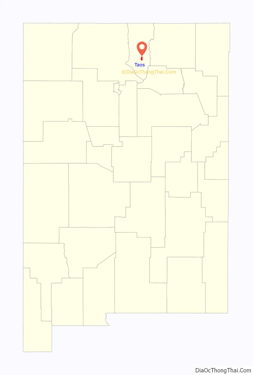
Taos location map. Where is Taos town?

History
Taos Pueblo
The Taos Pueblo, which borders the north boundary of the town of Taos, has been occupied for nearly a millennium. It is estimated that the pueblo was built between 1000 and 1450 A.D., with some later expansion, and the pueblo is considered to be one of the oldest continuously inhabited communities in the United States.
Located in a tributary valley off the Rio Grande, it is the most northern of the New Mexico pueblos. The pueblo, at some places five stories high, is a combination of many individual homes with common walls. There are over 1,900 Taos Puebloans living within the greater pueblo-area community. Many of them have modern homes near their fields and live there in the summer months, only staying at their homes within the main North or South pueblo buildings during cooler weather. About 150 people live within the main pueblo buildings year-round. The Taos Pueblo was added as a UNESCO World Heritage Site in 1992.
Spanish colonization
Taos was established c.1615 as Don Fernando de Taos, following the Spanish conquest of the Indian Pueblo villages. Initially, relations of the Spanish settlers with Taos Pueblo were amicable, but resentment of meddling by missionaries, and demands by encomenderos for tribute, led to a revolt in 1640; Taos Indians killed their priest and a number of Spanish settlers and subsequently fled the pueblo, not returning until 1661.
In 1680, Taos Pueblo joined the widespread Pueblo Revolt. After the Spanish Reconquest of 1692, Taos Pueblo continued armed resistance to the Spanish until 1696, when Governor Diego de Vargas defeated the Indians at Taos Canyon.
During the 1770s, Taos was repeatedly raided by Comanches who lived on the plains of what is now eastern Colorado. Juan Bautista de Anza, governor of the Province of New Mexico, led a successful punitive expedition in 1779 against the Comanches.
Between 1780 and 1800, Don Fernando de Taos (now simply Taos) was established. Between 1796 and 1797, the Don Fernando de Taos land grant gave land to 63 Spanish families in the Taos valley. It was built as a fortified plaza with adobe buildings and is now a central plaza surrounded by residential areas. Mountain men who trapped beaver nearby made Taos their home in the early 1800s.
U.S. territory and statehood
Mexico ceded the region to the U.S. in the Treaty of Guadalupe Hidalgo in 1848 after the Mexican–American War. After the U.S. takeover of New Mexico in 1847, Hispanics and American Indians in Taos staged a rebellion, known as the Taos Revolt, in which the newly appointed U.S. Governor, Charles Bent, was killed. New Mexico was a territory of the United States beginning in 1850 and became a state in 1912.
For historical reasons, the American flag is displayed continuously at Taos Plaza (both day and night). This derives from the time of the American Civil War, when Confederate sympathizers in the area attempted to remove the flag. The Union officer Kit Carson sought to discourage this activity by having guards surround the area and fly the flag 24 hours a day.
Anton Docher, the “Padre of Isleta”, first served as a priest in Taos before leaving for Isleta in 1891.
Taos art colony
Beginning in 1899, artists began to settle in Taos; six formed the Taos Society of Artists in 1915. In time, the Taos art colony developed. Many paintings were made of local scenes, especially of Taos Pueblo and activities there, as the artists often modelled Native Americans from the pueblo in their paintings. Some of the artists’ studios have been preserved and may be viewed by visitors to Taos. These include the Ernest L. Blumenschein House, the Eanger Irving Couse House and Studio—Joseph Henry Sharp Studios, and the Nicolai Fechin house, all of which are listed on the National Register of Historic Places. Influential later 20th-century Taos artists include R. C. Gorman and Agnes Martin.
Taos Road Map
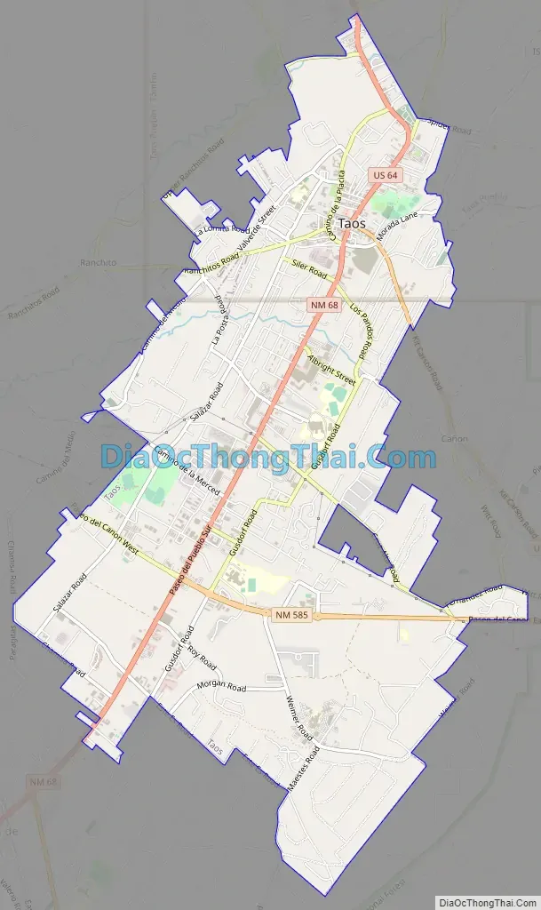
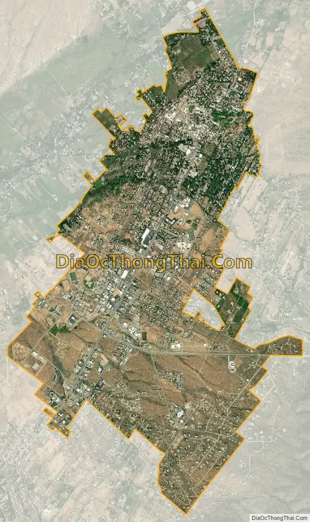
Taos city Satellite Map
Geography
Taos is located at 36°23′38″N 105°34′36″W / 36.39389°N 105.57667°W / 36.39389; -105.57667 (36.393979, −105.576705).
The town has a total area of 5.4 square miles (14 km), all land.
Taos is located within two watersheds, categorized as subwatersheds or HUC12s in the United States. The town is mostly located in the Outlet Rio Fernando del Taos Watershed, where its two waterbodies are rated as impaired. A coalition of local organizations are working to improve the watershed’s health. The northern edge of town is within the Rio Fernando del Taos-Rio Pueblo del Taos Watershed.
Just to the west of Taos is the Rio Grande Gorge, cutting through the basalt flows of the Taos Plateau volcanic field and crossed by the Rio Grande Gorge Bridge, now a part of U.S. Route 64.
The elevation of the town is 6,969 feet (2,124 m). Just north of Taos is Wheeler Peak, at 13,161 feet (4,011 m), the highest point in New Mexico. Taos has a warm-summer humid continental climate (Köppen Dfb), though it borders on a semi-arid climate (BSk) due to the low rainfall. The town is characterized by extreme diurnal variations of temperature. Even when summer days get extremely hot, nights cool off considerably.
Mud season
Dirt roads and driveways in Taos can experience a particularly bad mud season when winter weather is followed by unseasonably warm temperatures. This occurs because area soil is heavy with silt, which makes it vulnerable to frost heaving.
See also
Map of New Mexico State and its subdivision: Map of other states:- Alabama
- Alaska
- Arizona
- Arkansas
- California
- Colorado
- Connecticut
- Delaware
- District of Columbia
- Florida
- Georgia
- Hawaii
- Idaho
- Illinois
- Indiana
- Iowa
- Kansas
- Kentucky
- Louisiana
- Maine
- Maryland
- Massachusetts
- Michigan
- Minnesota
- Mississippi
- Missouri
- Montana
- Nebraska
- Nevada
- New Hampshire
- New Jersey
- New Mexico
- New York
- North Carolina
- North Dakota
- Ohio
- Oklahoma
- Oregon
- Pennsylvania
- Rhode Island
- South Carolina
- South Dakota
- Tennessee
- Texas
- Utah
- Vermont
- Virginia
- Washington
- West Virginia
- Wisconsin
- Wyoming