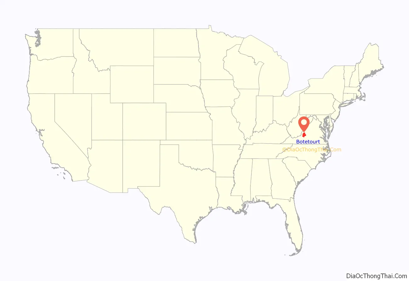
Botetourt County (/ˈbɒtətɒt/ BOT-ə-tot) is a US county that lies in the Roanoke Region of the Commonwealth of Virginia. Located in the mountainous portion of the state, the county is bordered by two major ranges, the Blue Ridge Mountains and the Appalachian Mountains.
Botetourt County was created in 1770 from part of Augusta County and was named for Norborne Berkeley, known as Lord Botetourt. It originally comprised a vast area, which included the southern portion of present-day West Virginia and all of Kentucky. Portions were set off to form new counties beginning in 1772, until the current borders were established in 1851.
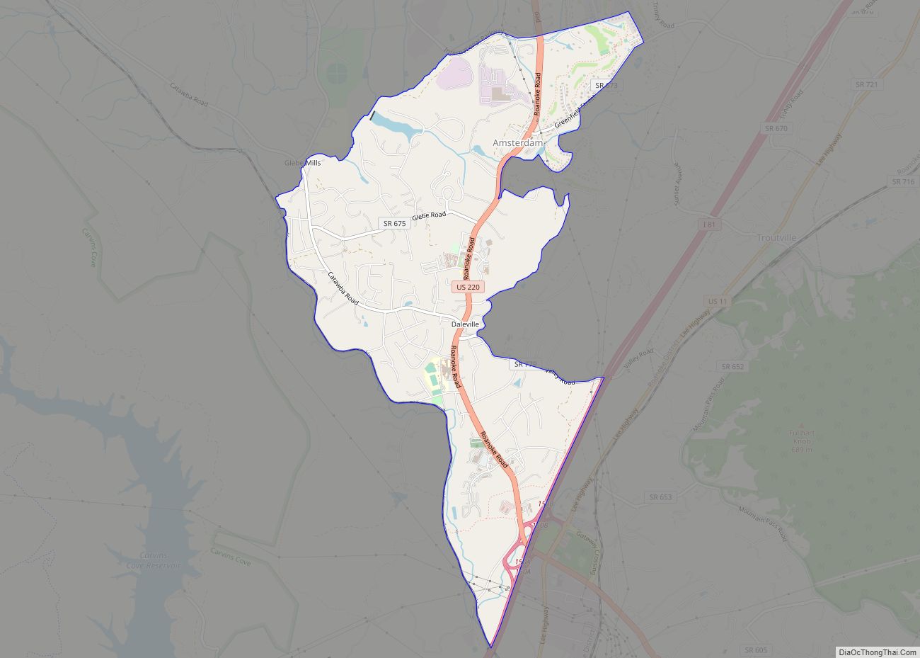
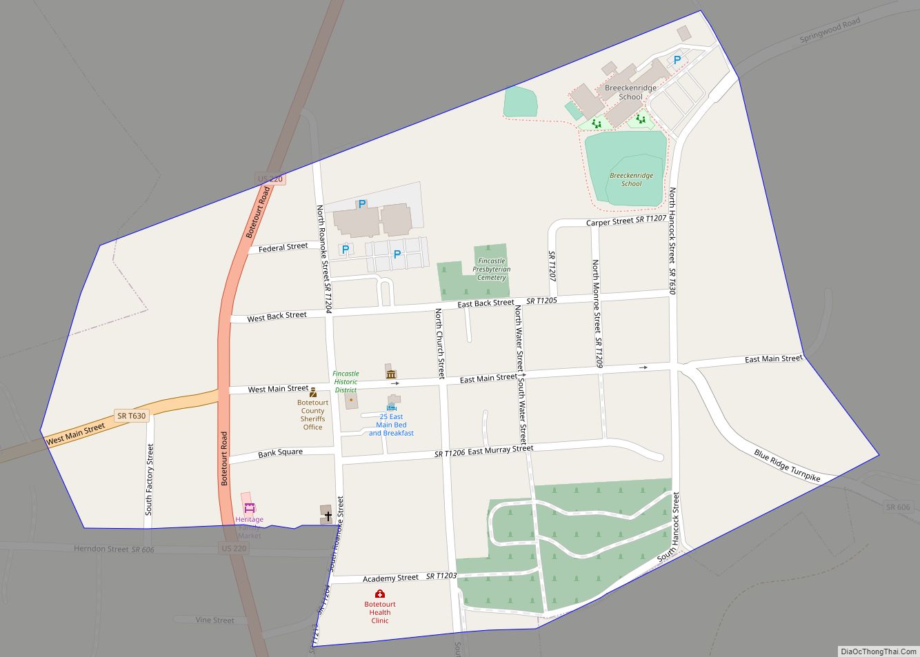
Botetourt County is part of the Roanoke Virginia Metropolitan Statistical Area, and the county seat is the town of Fincastle. As of the 2020 census, the county population was 33,596.
| Name: | Botetourt County |
|---|---|
| FIPS code: | 51-023 |
| State: | Virginia |
| Founded: | 1770 |
| Named for: | Lord Botetourt |
| Seat: | Fincastle |
| Total Area: | 546 sq mi (1,410 km²) |
| Land Area: | 541 sq mi (1,400 km²) |
| Total Population: | 33,596 |
| Population Density: | 62/sq mi (24/km²) |
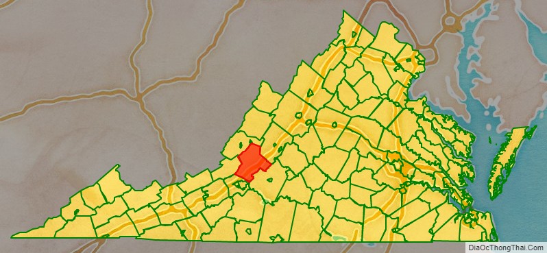
Botetourt County location map. Where is Botetourt County?
History
First proposed in the House of Burgesses in 1767, Botetourt County was created in 1770 from Augusta County. The county is named for Norborne Berkeley, Baron de Botetourt, more commonly known as Lord Botetourt (1718–1770), who was a popular governor of the Virginia Colony from 1768 to 1770, when he died suddenly while in office.
In 1772, the county was reduced to the area east of the New and Kanawha rivers by the creation of Fincastle County. Most of that latter county became the Commonwealth of Kentucky in 1792. The other counties established directly from portions of Botetourt County are: Rockbridge (1778), Bath (1791), Alleghany (1822), Roanoke (1833), and Craig (1851).
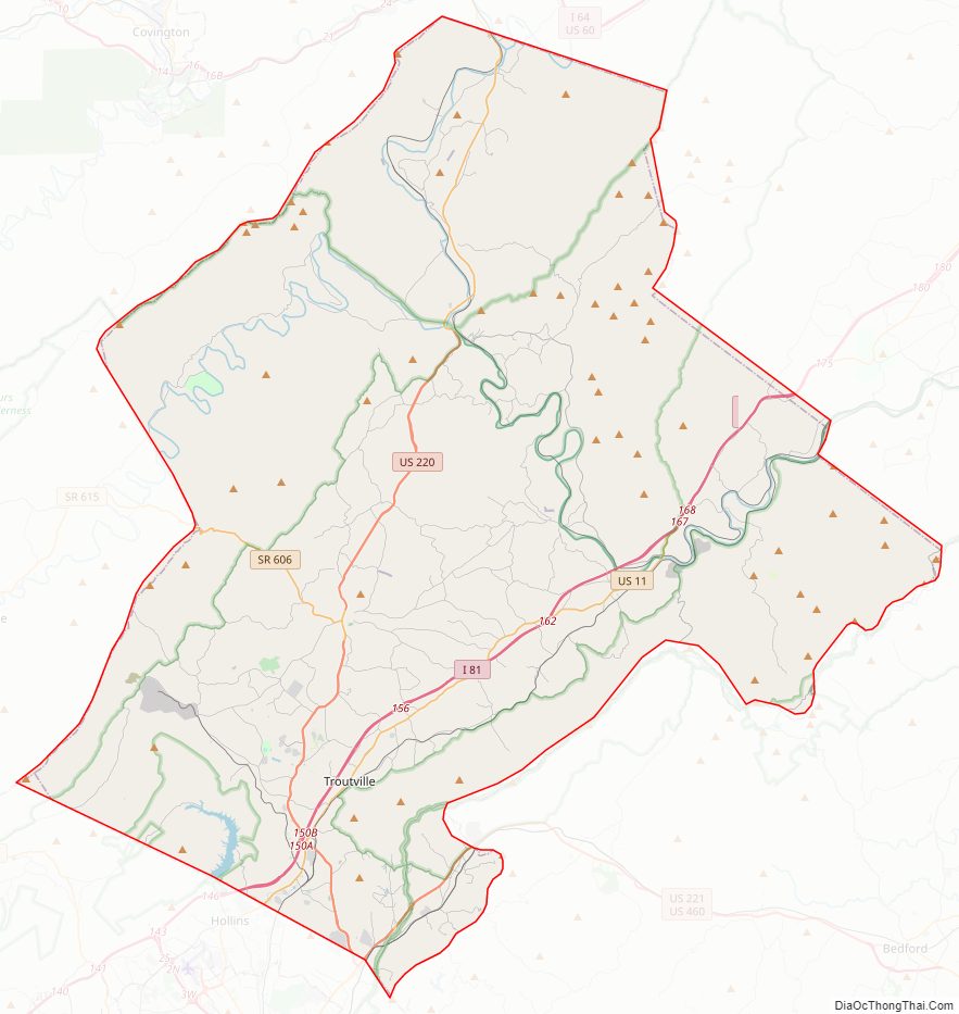
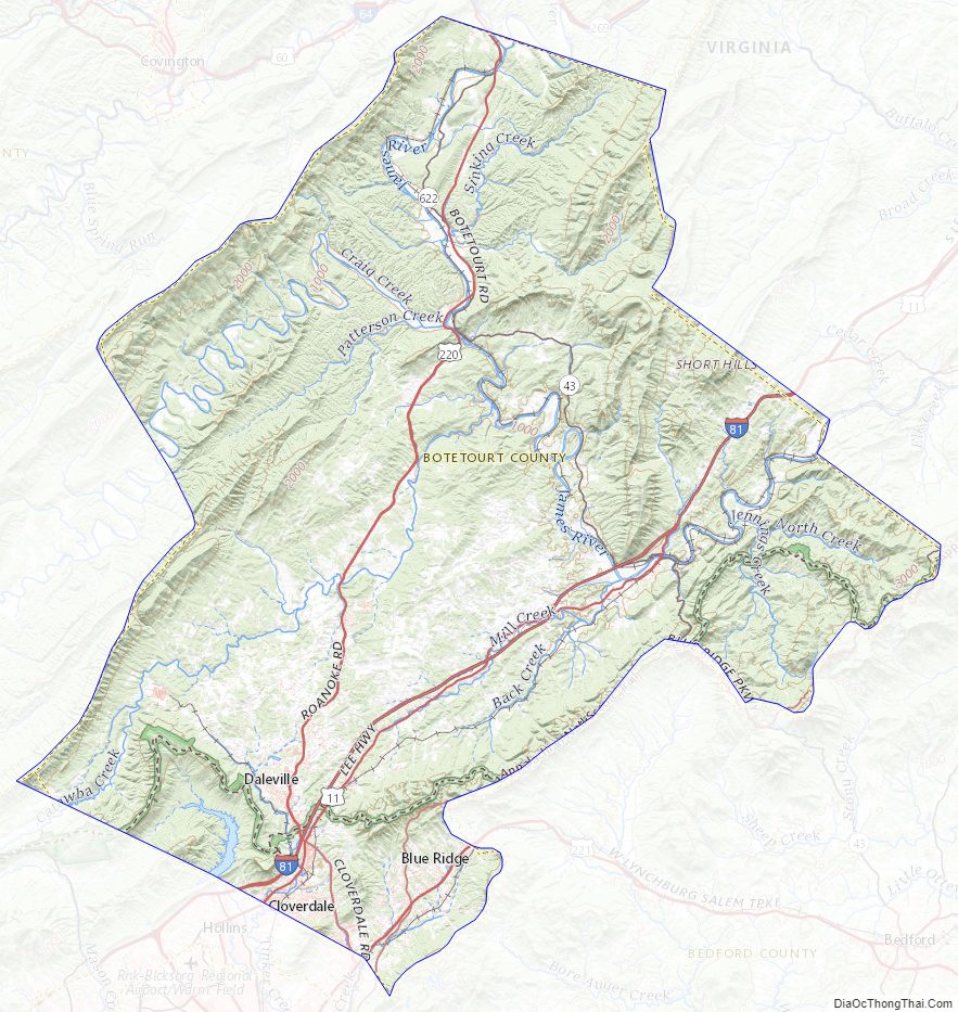
Botetourt County Road Map
Geography
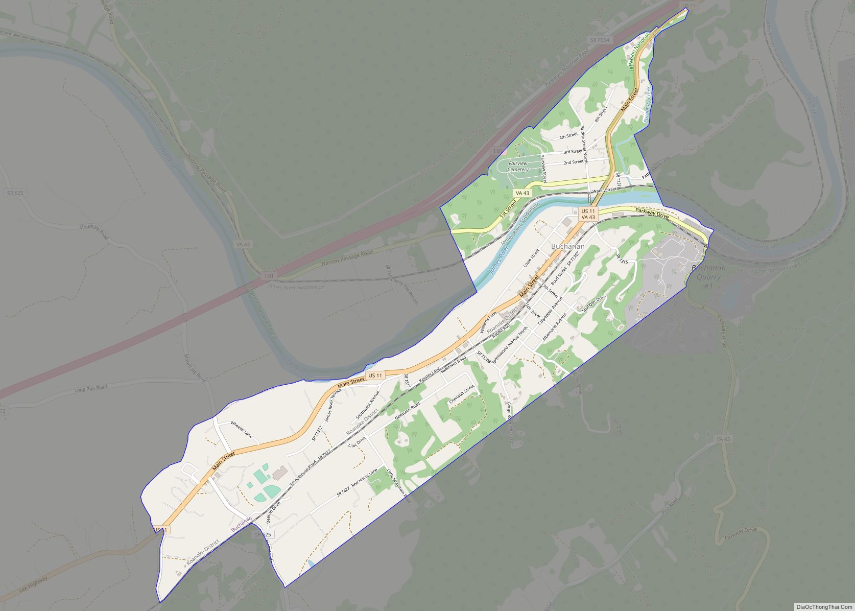
According to the U.S. Census Bureau, the county has a total area of 546 square miles (1,410 km), of which 541 square miles (1,400 km) is land and 4.7 square miles (12 km) (0.9%) is water. The Blue Ridge Mountains run along the eastern part of the county, while the Appalachian Mountains run along the western portion. The two mountain ranges come close together, separated by the town of Buchanan and the James River.
The James River originates in Botetourt County, near the village of Iron Gate, just south of the Alleghany County line and near the merger of the Cowpasture River and the Jackson River. The James River runs south until Eagle Rock, where it turns east and meanders through the county, passing Springwood and James River High School until entering Buchanan. In Buchanan, the river turns northward and flows into Rockbridge County towards Glasgow.
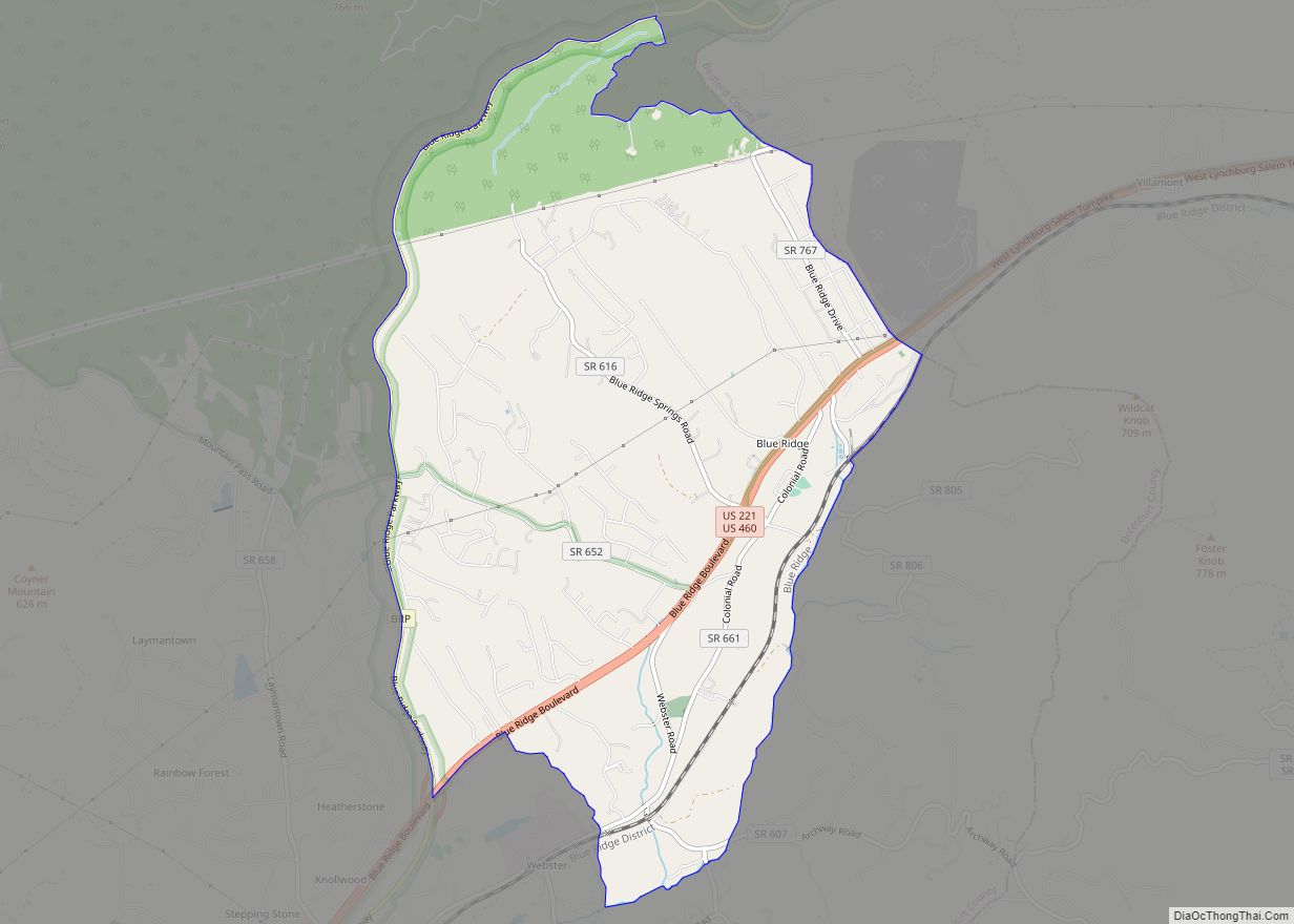
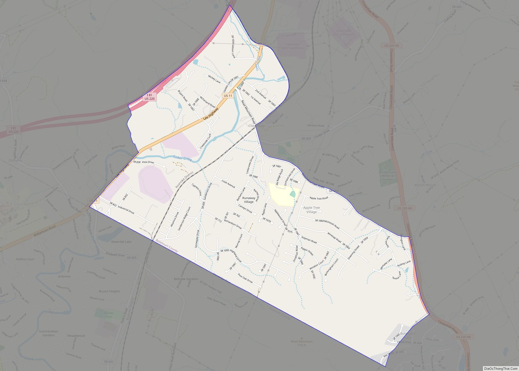
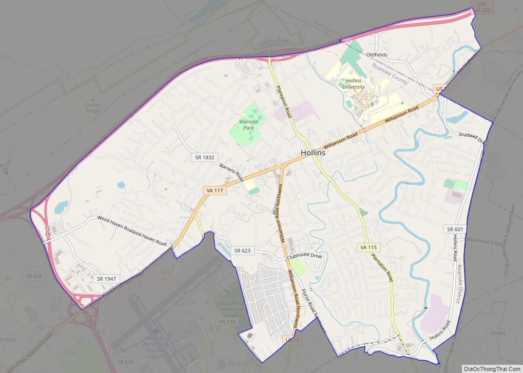
Botetourt County is a part of the Roanoke Metropolitan Statistical Area, and the southern parts of the county have become increasingly suburban in recent decades. Much of the area’s former farmland and orchards have been developed into residential subdivisions and businesses.
Adjacent counties
- Roanoke County, Virginia – southwest
- Craig County, Virginia – west
- Alleghany County, Virginia – northwest
- Rockbridge County, Virginia – northeast
- Bedford County, Virginia – southeast
National protected areas
- Blue Ridge Parkway (part)
- George Washington National Forest (part)
- Jefferson National Forest (part)
Major highways
- I-81
- US 11
- US 220
- US 221
- US 460
- SR 43
Botetourt County Topographic Map
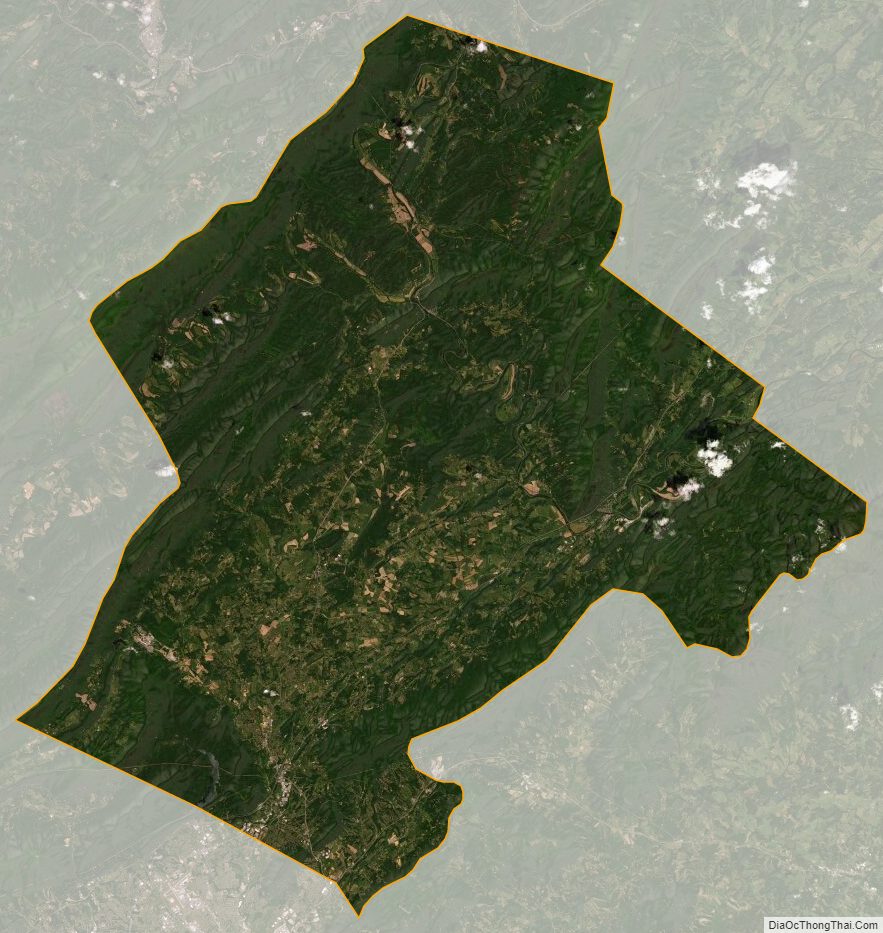
Botetourt County Satellite Map
Botetourt County Outline Map