Luverne is a city in and the county seat of Crenshaw County, Alabama, United States. The city describes itself as “The Friendliest City in the South”, a slogan that appears on its “welcome” signs. At the 2020 census, the population was 2,765.
| Name: | Luverne city |
|---|---|
| LSAD Code: | 25 |
| LSAD Description: | city (suffix) |
| State: | Alabama |
| County: | Crenshaw County |
| Founded: | 1889 |
| Incorporated: | February 6, 1891 |
| Elevation: | 354 ft (108 m) |
| Total Area: | 15.67 sq mi (40.60 km²) |
| Land Area: | 15.65 sq mi (40.53 km²) |
| Water Area: | 0.03 sq mi (0.07 km²) |
| Total Population: | 2,765 |
| Population Density: | 176.71/sq mi (68.23/km²) |
| ZIP code: | 36049 |
| Area code: | 334 |
| FIPS code: | 0144728 |
| GNISfeature ID: | 0122110 |
| Website: | www.luverne.org |
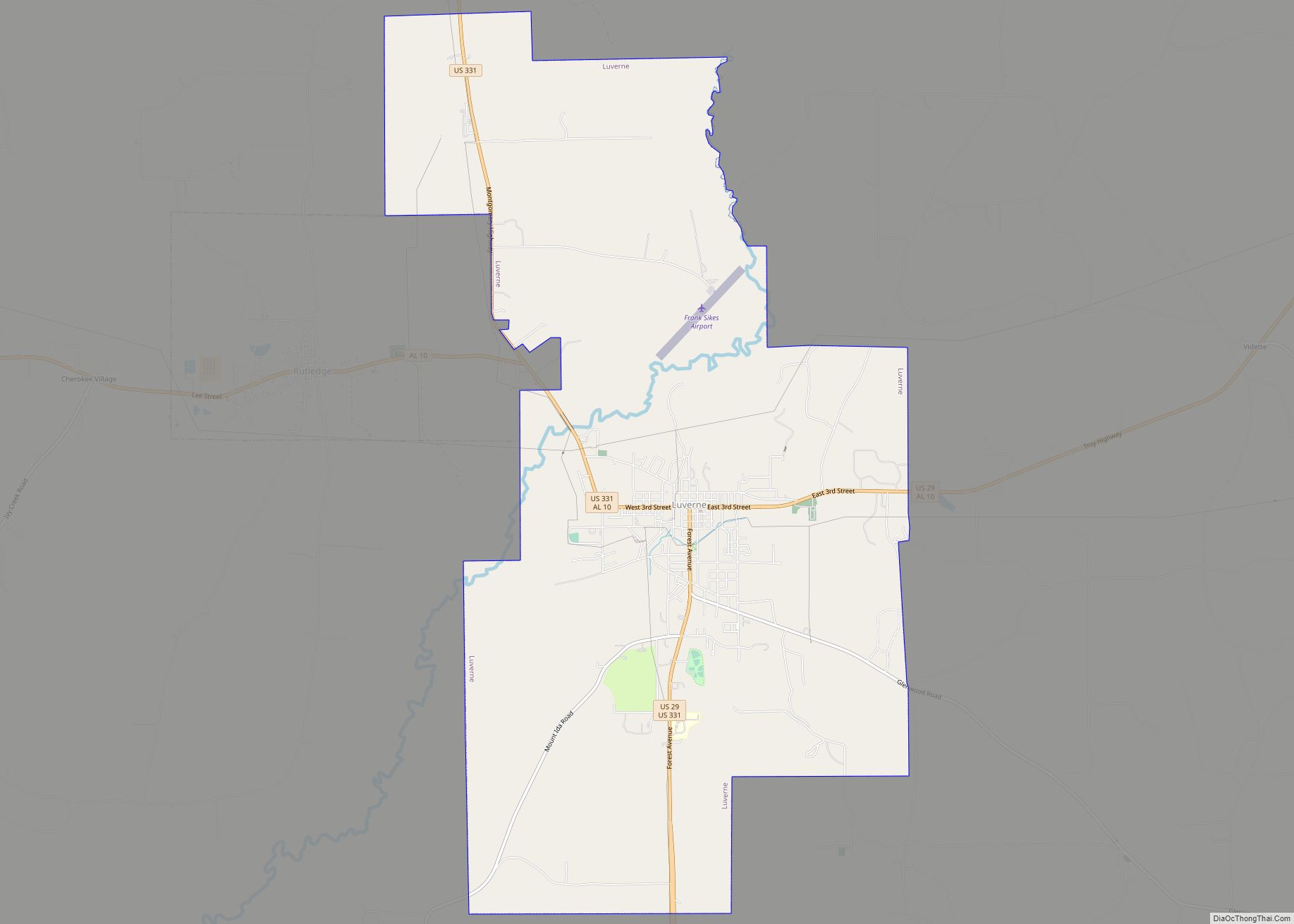
Online Interactive Map
Click on ![]() to view map in "full screen" mode.
to view map in "full screen" mode.
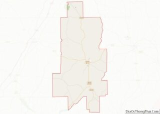
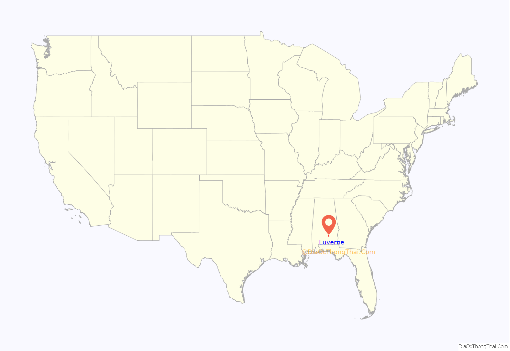
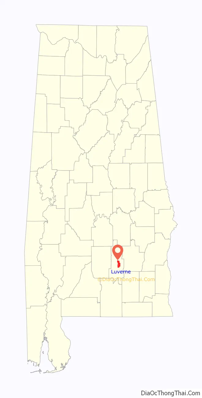
Luverne location map. Where is Luverne city?
History
Luverne was one of numerous towns developed in the state as a result of railroad construction.
On July 2, 1880, the Montgomery and Southern Railway was created to construct a new railroad linking Montgomery to the Florida coast. The company completed around 30 miles (48 km) of narrow gauge track by September 18, 1882. The company was reorganized as the Montgomery and Florida Railway in May 1886, and a second time as the Northwest and Florida Railroad in 1888. In November 1888, the railroad reached the site of Luverne in the central part of Crenshaw County, near the Patsaliga River. Now totaling 51 miles (82 km) the line was converted to standard gauge by July 1889 and it was decided to proceed no further. The Alabama Terminal and Improvement Company, a subsidiary of the Alabama Midland Railway, controlled the railroad by 1889 and the line from Montgomery to Luverne was into the network of the latter.
The new railroad terminus attracted related development, and the town grew. It was incorporated in 1891, and became a center of timbering in the Piney Woods of southern Alabama, as the land was not fertile enough to be suitable for large-scale cotton plantation agriculture.
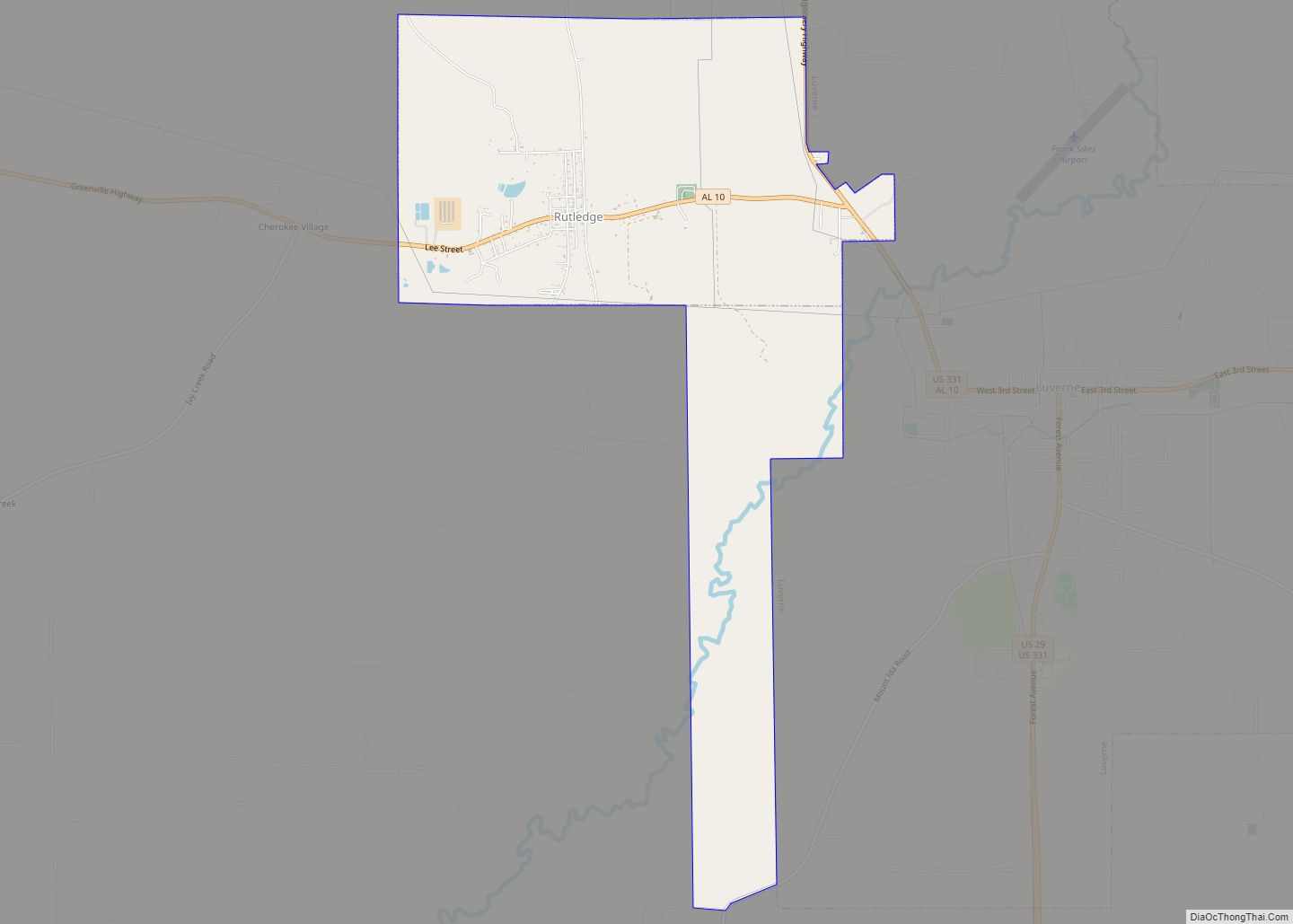
In 1893, the citizens of Crenshaw County voted to move the county seat from Rutledge to the more populous Luverne.
By the late 1930s, lynchings of African Americans were increasingly conducted in small groups or in secret, rather than in the former mass public displays. On June 22, 1940, an African-American man named Jesse Thornton was lynched in Luverne for failing to address a white man with the title of “Mister”. He was fatally shot and his body was later found in the Patsaliga River. The Equal Justice Initiative documented that the white man Thornton had apparently offended by his Jim Crow infraction was a police officer. This was the only lynching recorded in the county.
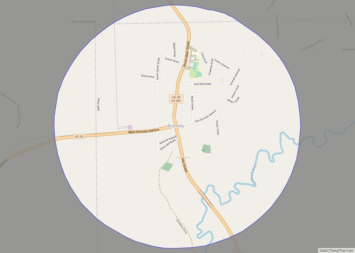
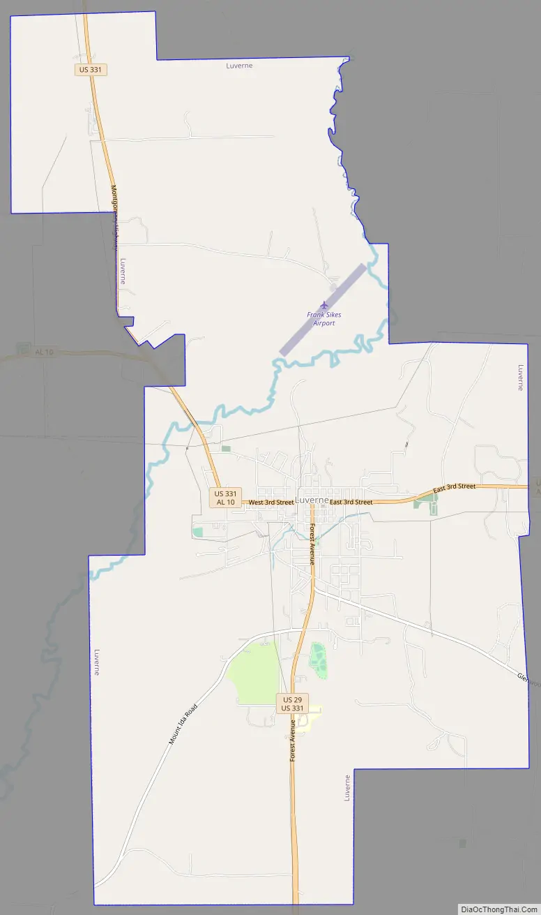
Luverne Road Map
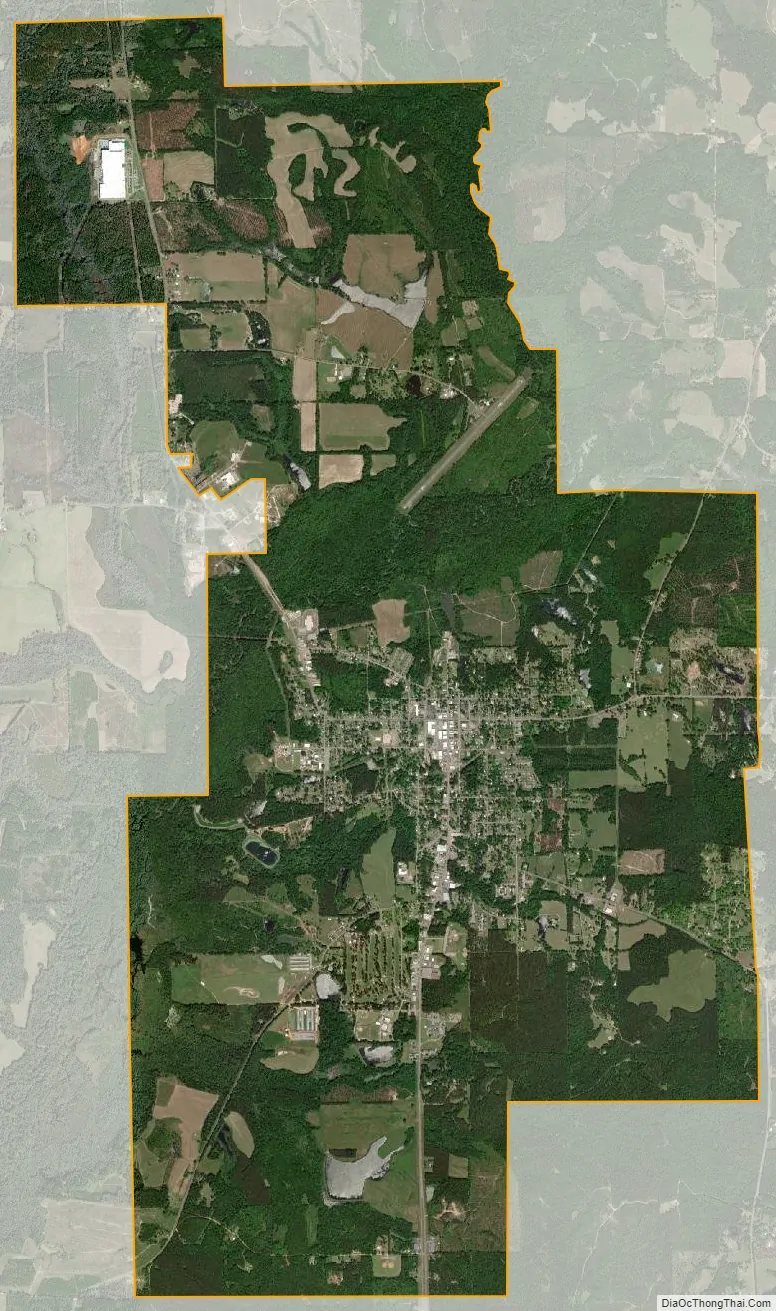
Luverne city Satellite Map
Geography
Luverne is located at 31°42′52″N 86°15′48″W / 31.714427°N 86.263323°W / 31.714427; -86.263323. The town of Rutledge lies along Luverne’s western border.
According to the U.S. Census Bureau, the city has a total area of 15.7 square miles (40.6 km), of which 15.6 square miles (40.5 km) is land and 0.04 square miles (0.1 km), or 0.17%, is water.
Climate
According to the Köppen climate classification, Luverne has a humid subtropical climate (abbreviated Cfa).
See also
Map of Alabama State and its subdivision:- Autauga
- Baldwin
- Barbour
- Bibb
- Blount
- Bullock
- Butler
- Calhoun
- Chambers
- Cherokee
- Chilton
- Choctaw
- Clarke
- Clay
- Cleburne
- Coffee
- Colbert
- Conecuh
- Coosa
- Covington
- Crenshaw
- Cullman
- Dale
- Dallas
- De Kalb
- Elmore
- Escambia
- Etowah
- Fayette
- Franklin
- Geneva
- Greene
- Hale
- Henry
- Houston
- Jackson
- Jefferson
- Lamar
- Lauderdale
- Lawrence
- Lee
- Limestone
- Lowndes
- Macon
- Madison
- Marengo
- Marion
- Marshall
- Mobile
- Monroe
- Montgomery
- Morgan
- Perry
- Pickens
- Pike
- Randolph
- Russell
- Saint Clair
- Shelby
- Sumter
- Talladega
- Tallapoosa
- Tuscaloosa
- Walker
- Washington
- Wilcox
- Winston
- Alabama
- Alaska
- Arizona
- Arkansas
- California
- Colorado
- Connecticut
- Delaware
- District of Columbia
- Florida
- Georgia
- Hawaii
- Idaho
- Illinois
- Indiana
- Iowa
- Kansas
- Kentucky
- Louisiana
- Maine
- Maryland
- Massachusetts
- Michigan
- Minnesota
- Mississippi
- Missouri
- Montana
- Nebraska
- Nevada
- New Hampshire
- New Jersey
- New Mexico
- New York
- North Carolina
- North Dakota
- Ohio
- Oklahoma
- Oregon
- Pennsylvania
- Rhode Island
- South Carolina
- South Dakota
- Tennessee
- Texas
- Utah
- Vermont
- Virginia
- Washington
- West Virginia
- Wisconsin
- Wyoming