Rutledge is a town in Crenshaw County, Alabama, United States. As of the 2010 census, the population of the town was 467.
| Name: | Rutledge town |
|---|---|
| LSAD Code: | 43 |
| LSAD Description: | town (suffix) |
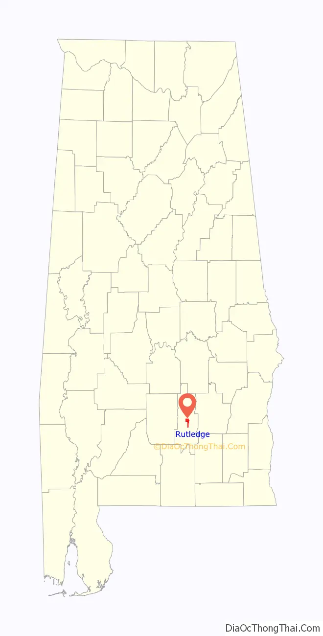
| State: | Alabama |
| County: | Crenshaw County |
| Elevation: | 344 ft (105 m) |
| Total Area: | 5.86 sq mi (15.18 km²) |
| Land Area: | 5.86 sq mi (15.18 km²) |
| Water Area: | 0.00 sq mi (0.00 km²) |
| Total Population: | 351 |
| Population Density: | 59.89/sq mi (23.12/km²) |
| ZIP code: | 36071 |
| Area code: | 334 |
| FIPS code: | 0167176 |
| GNISfeature ID: | 0153234 |
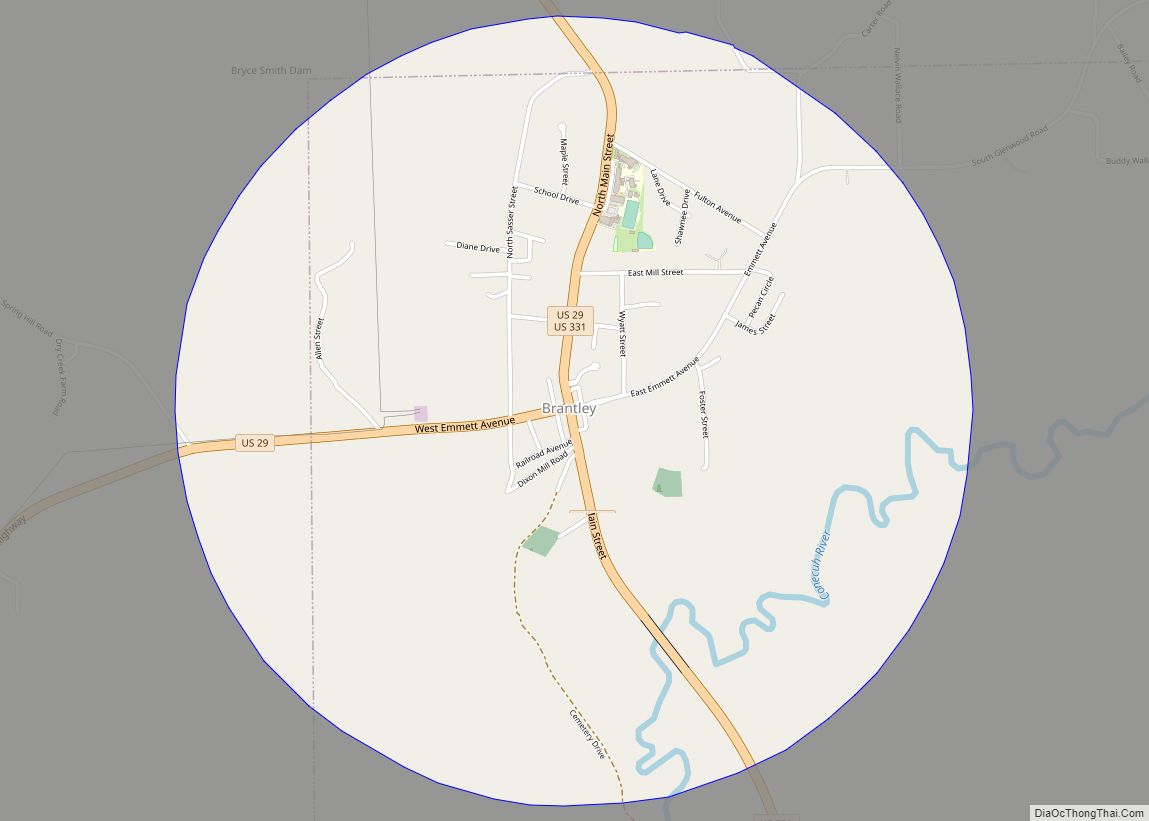
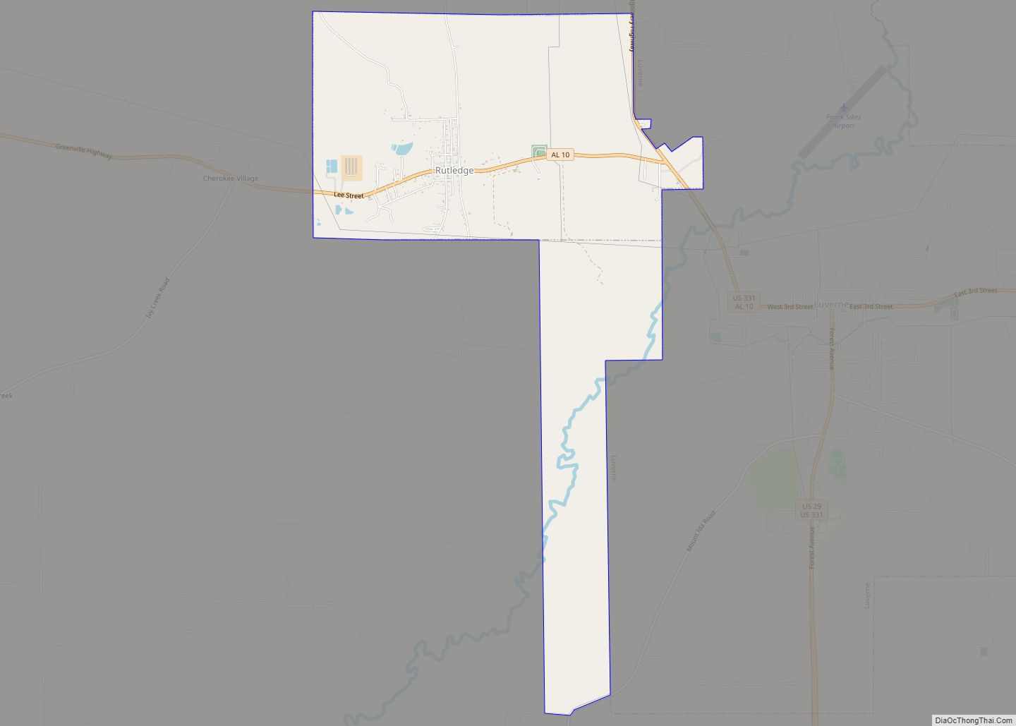
Online Interactive Map
Click on ![]() to view map in "full screen" mode.
to view map in "full screen" mode.
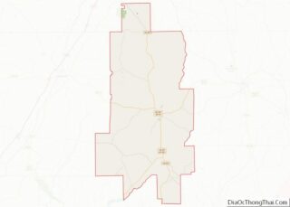
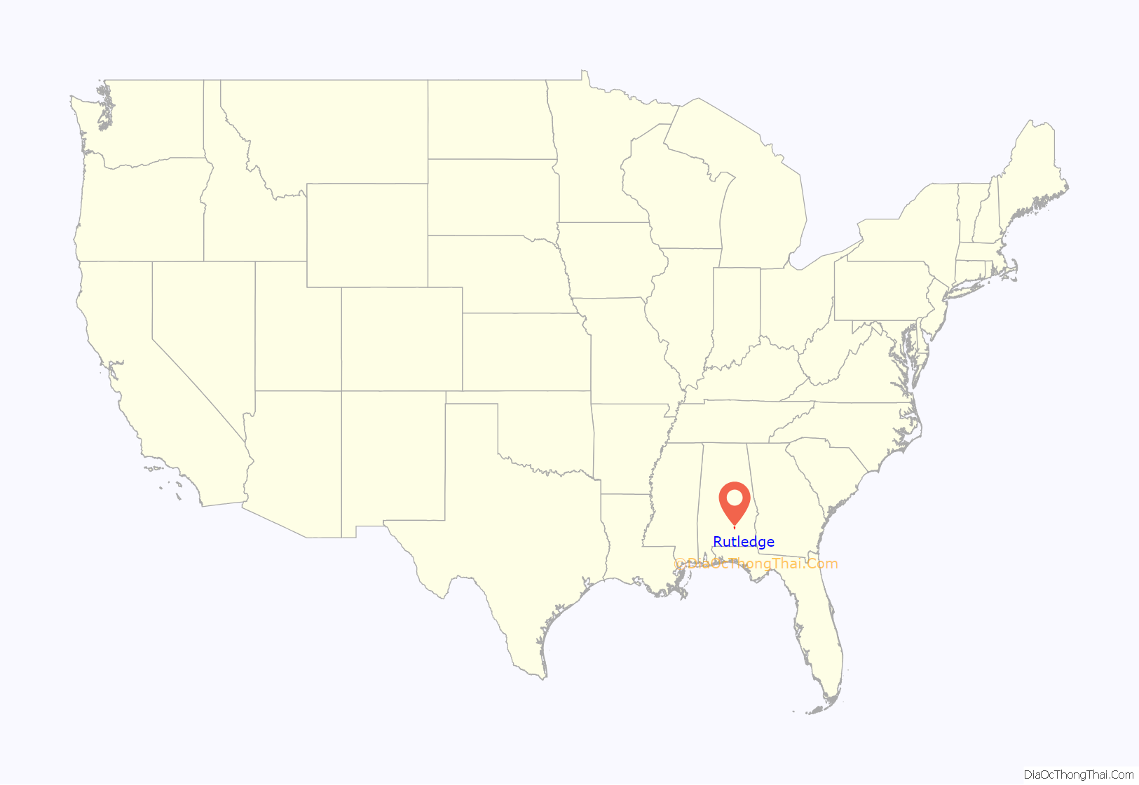
Rutledge location map. Where is Rutledge town?
History
Rutledge began as Barber’s Crossroads. It was originally settled by Jared Phelps Barber. The town was briefly named Crenshaw, but on June 10, 1867, it was changed to Rutledge in honor of Captain Henry Rutledge, Company H. 59th Alabama Infantry, CSA. Rutledge was the first county seat of Crenshaw County and held that position from March 1867 to May 1893. It was incorporated in 1871.
Rutledge Road Map
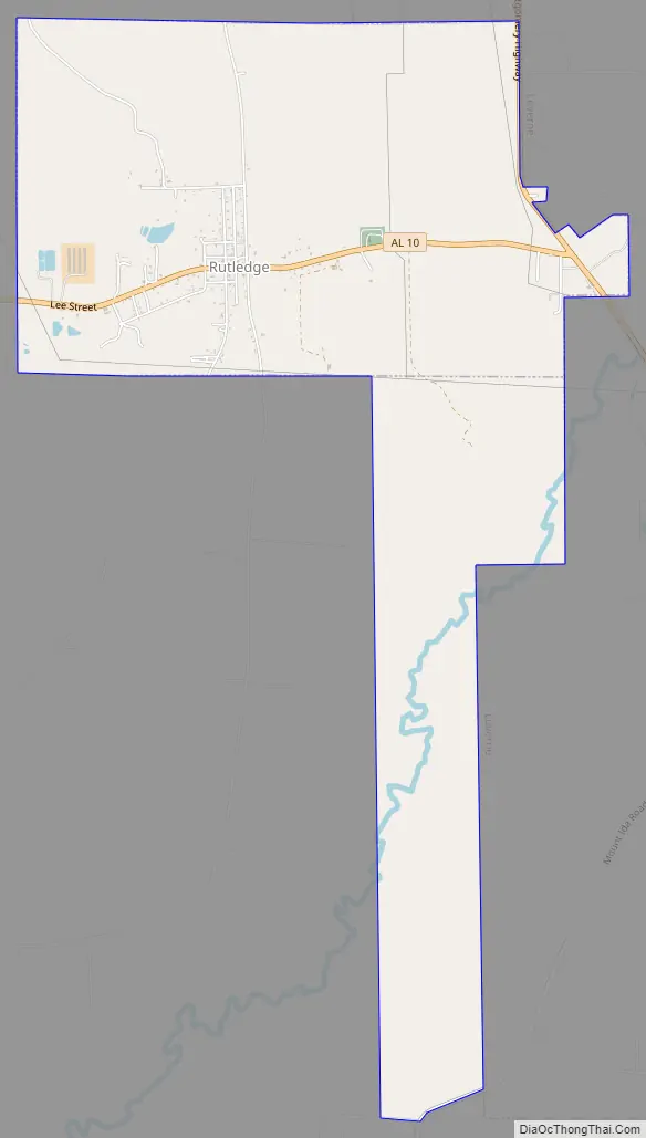
Rutledge city Satellite Map

Geography
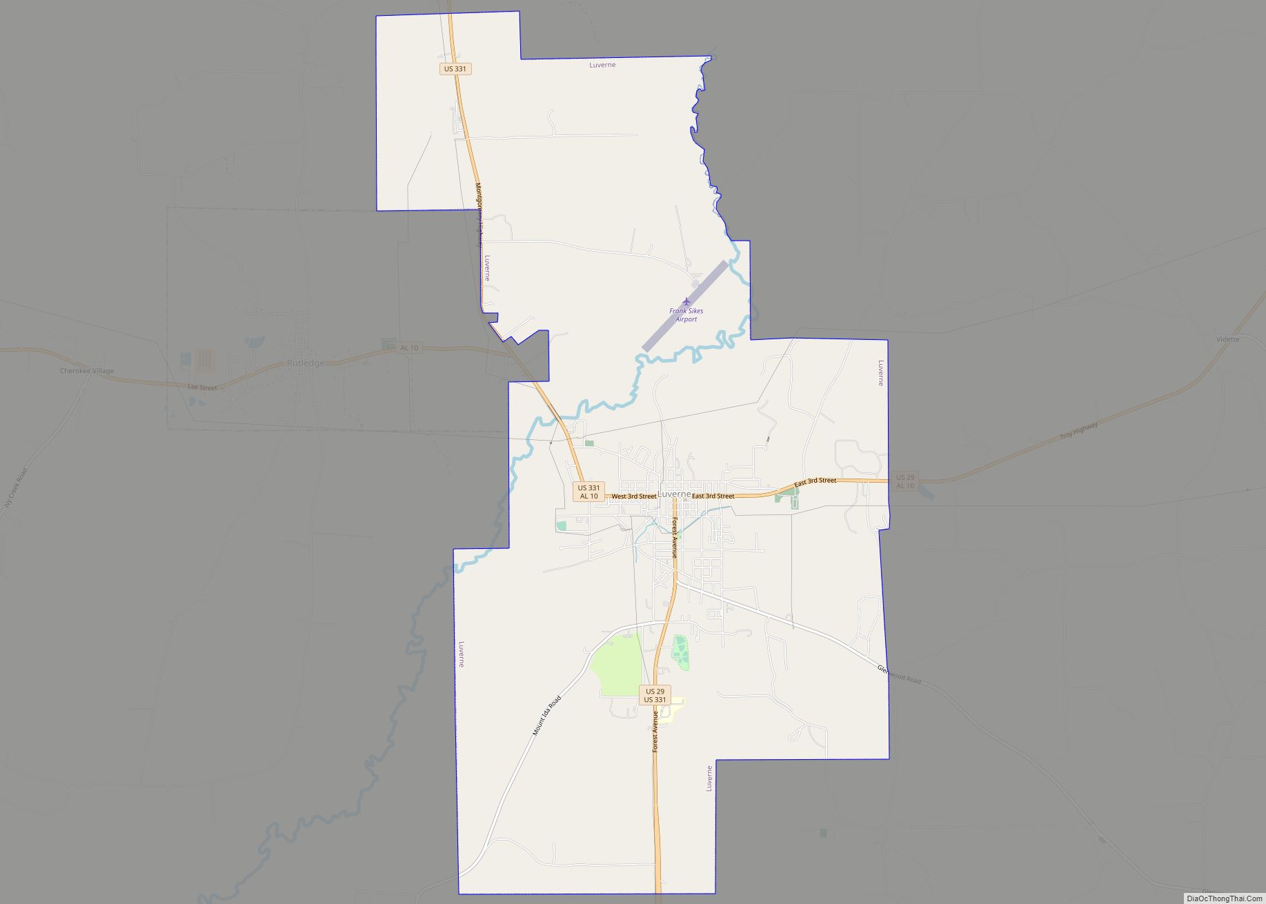
Rutledge is located at the geographic center of Crenshaw County at 31°43′59″N 86°18′35″W / 31.73306°N 86.30972°W / 31.73306; -86.30972 (31.733103, -86.309619). The city of Luverne, the Crenshaw County seat, lies along Rutledge’s eastern border.
According to the U.S. Census Bureau, the town has a total area of 5.9 square miles (15.2 km), all land.
See also
Map of Alabama State and its subdivision:- Autauga
- Baldwin
- Barbour
- Bibb
- Blount
- Bullock
- Butler
- Calhoun
- Chambers
- Cherokee
- Chilton
- Choctaw
- Clarke
- Clay
- Cleburne
- Coffee
- Colbert
- Conecuh
- Coosa
- Covington
- Crenshaw
- Cullman
- Dale
- Dallas
- De Kalb
- Elmore
- Escambia
- Etowah
- Fayette
- Franklin
- Geneva
- Greene
- Hale
- Henry
- Houston
- Jackson
- Jefferson
- Lamar
- Lauderdale
- Lawrence
- Lee
- Limestone
- Lowndes
- Macon
- Madison
- Marengo
- Marion
- Marshall
- Mobile
- Monroe
- Montgomery
- Morgan
- Perry
- Pickens
- Pike
- Randolph
- Russell
- Saint Clair
- Shelby
- Sumter
- Talladega
- Tallapoosa
- Tuscaloosa
- Walker
- Washington
- Wilcox
- Winston
- Alabama
- Alaska
- Arizona
- Arkansas
- California
- Colorado
- Connecticut
- Delaware
- District of Columbia
- Florida
- Georgia
- Hawaii
- Idaho
- Illinois
- Indiana
- Iowa
- Kansas
- Kentucky
- Louisiana
- Maine
- Maryland
- Massachusetts
- Michigan
- Minnesota
- Mississippi
- Missouri
- Montana
- Nebraska
- Nevada
- New Hampshire
- New Jersey
- New Mexico
- New York
- North Carolina
- North Dakota
- Ohio
- Oklahoma
- Oregon
- Pennsylvania
- Rhode Island
- South Carolina
- South Dakota
- Tennessee
- Texas
- Utah
- Vermont
- Virginia
- Washington
- West Virginia
- Wisconsin
- Wyoming