Leon is a city in Decatur County, Iowa, United States. The population was 1,822 at the time of the 2020 census. It is the county seat of Decatur County.
The city is located near the Little River Lake Recreation Area. Leon is home to a major rodeo that has been Rodeo of the Year in Iowa for many years.
| Name: | Leon city |
|---|---|
| LSAD Code: | 25 |
| LSAD Description: | city (suffix) |
| State: | Iowa |
| County: | Decatur County |
| Elevation: | 1,125 ft (343 m) |
| Total Area: | 3.14 sq mi (8.13 km²) |
| Land Area: | 3.13 sq mi (8.11 km²) |
| Water Area: | 0.01 sq mi (0.02 km²) |
| Total Population: | 1,822 |
| Population Density: | 581.74/sq mi (224.60/km²) |
| ZIP code: | 50144 |
| Area code: | 641 |
| FIPS code: | 1944535 |
| GNISfeature ID: | 0458291 |
| Website: | http://cityofleoniowa.com |
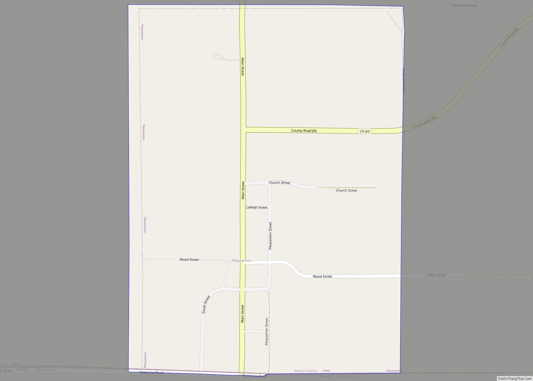
Online Interactive Map
Click on ![]() to view map in "full screen" mode.
to view map in "full screen" mode.
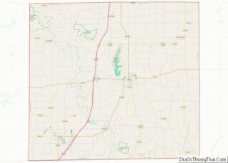
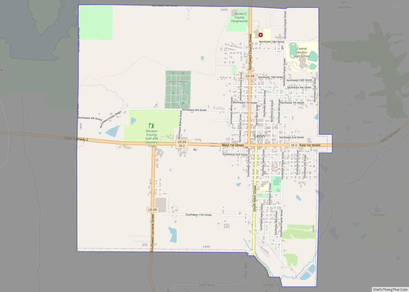
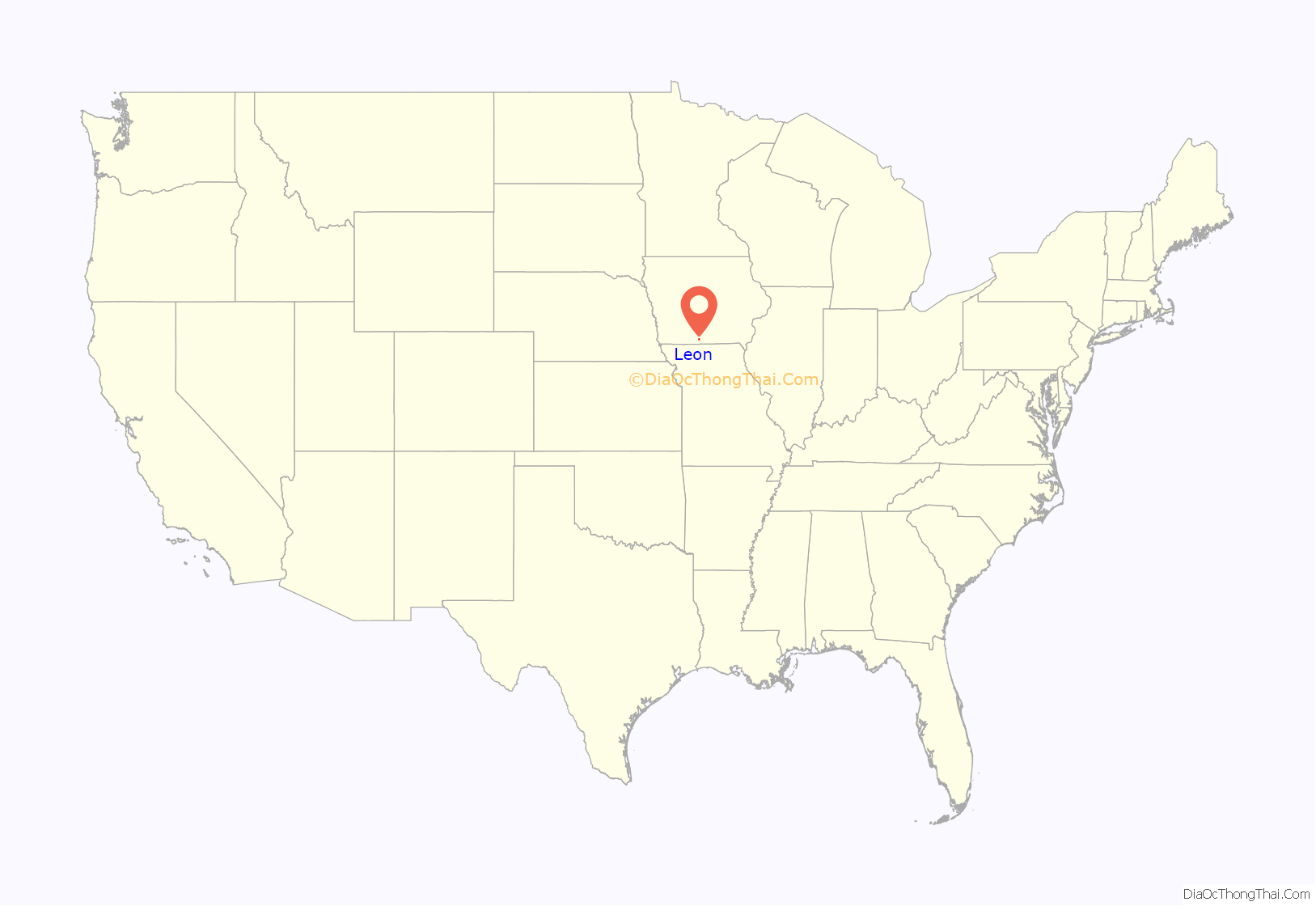
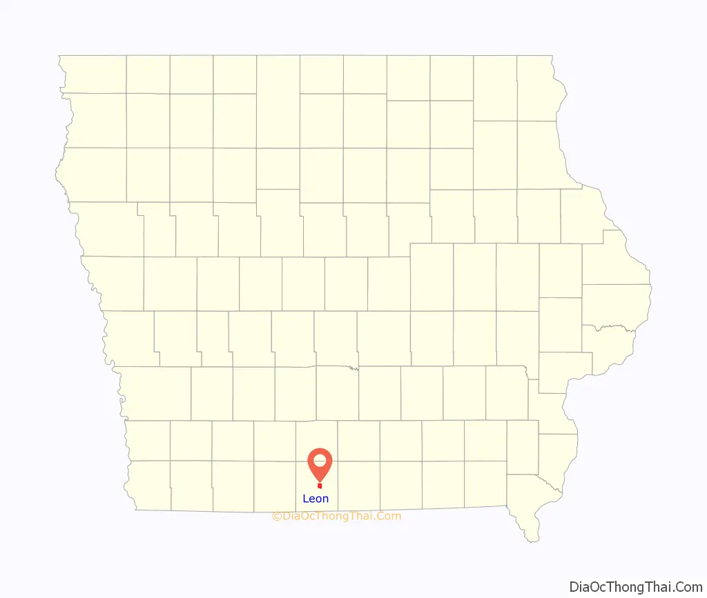
Leon location map. Where is Leon city?
History
Leon was incorporated as a city in 1858. It was a shipping point on the Chicago, Burlington and Quincy Railroad.
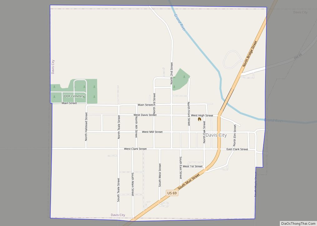
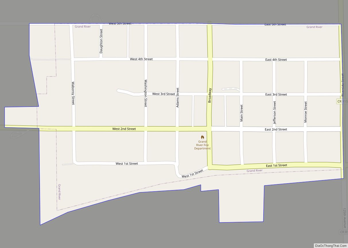
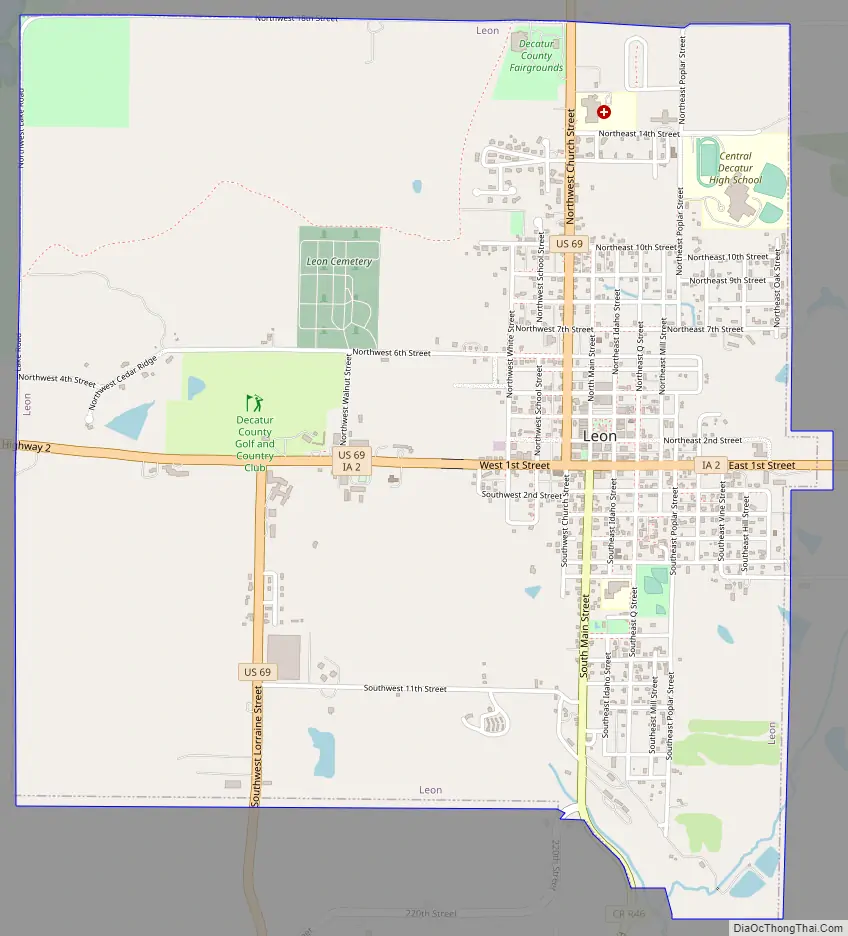
Leon Road Map
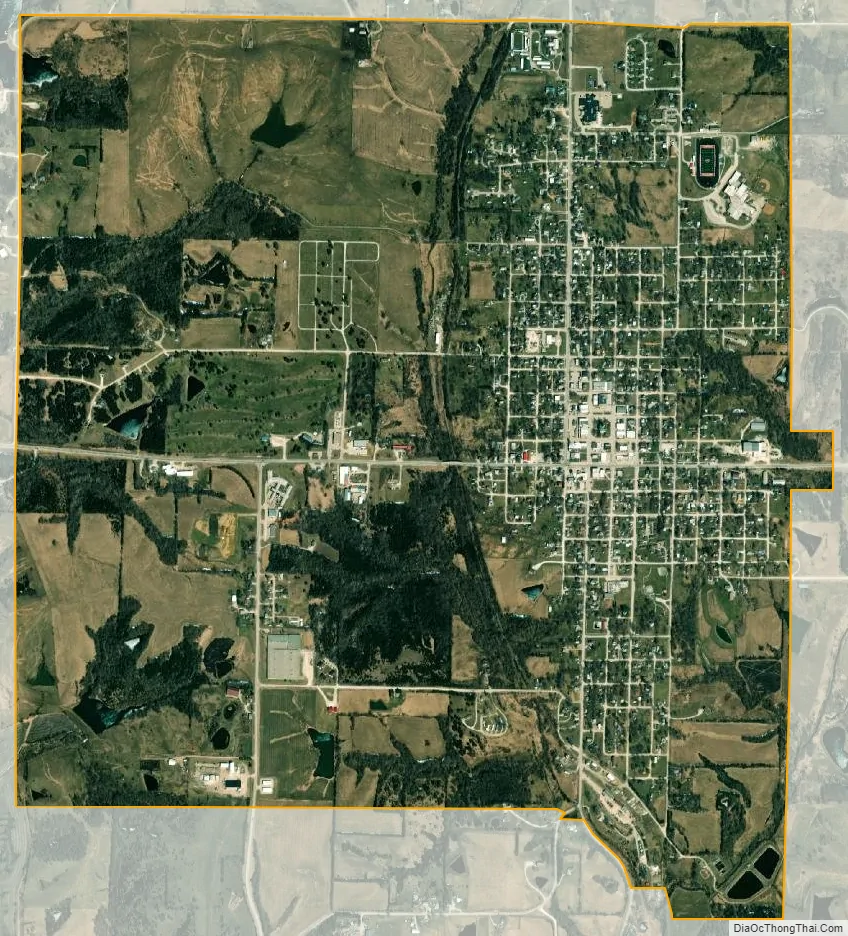
Leon city Satellite Map
Geography
Leon is located on US Route 69 and Iowa Highway 2 approximately 12 miles northeast of Lamoni.
According to the United States Census Bureau, the city has a total area of 3.18 square miles (8.24 km), of which, 3.17 square miles (8.21 km) is land and 0.01 square miles (0.03 km) is water.
See also
Map of Iowa State and its subdivision:- Adair
- Adams
- Allamakee
- Appanoose
- Audubon
- Benton
- Black Hawk
- Boone
- Bremer
- Buchanan
- Buena Vista
- Butler
- Calhoun
- Carroll
- Cass
- Cedar
- Cerro Gordo
- Cherokee
- Chickasaw
- Clarke
- Clay
- Clayton
- Clinton
- Crawford
- Dallas
- Davis
- Decatur
- Delaware
- Des Moines
- Dickinson
- Dubuque
- Emmet
- Fayette
- Floyd
- Franklin
- Fremont
- Greene
- Grundy
- Guthrie
- Hamilton
- Hancock
- Hardin
- Harrison
- Henry
- Howard
- Humboldt
- Ida
- Iowa
- Jackson
- Jasper
- Jefferson
- Johnson
- Jones
- Keokuk
- Kossuth
- Lee
- Linn
- Louisa
- Lucas
- Lyon
- Madison
- Mahaska
- Marion
- Marshall
- Mills
- Mitchell
- Monona
- Monroe
- Montgomery
- Muscatine
- O'Brien
- Osceola
- Page
- Palo Alto
- Plymouth
- Pocahontas
- Polk
- Pottawattamie
- Poweshiek
- Ringgold
- Sac
- Scott
- Shelby
- Sioux
- Story
- Tama
- Taylor
- Union
- Van Buren
- Wapello
- Warren
- Washington
- Wayne
- Webster
- Winnebago
- Winneshiek
- Woodbury
- Worth
- Wright
- Alabama
- Alaska
- Arizona
- Arkansas
- California
- Colorado
- Connecticut
- Delaware
- District of Columbia
- Florida
- Georgia
- Hawaii
- Idaho
- Illinois
- Indiana
- Iowa
- Kansas
- Kentucky
- Louisiana
- Maine
- Maryland
- Massachusetts
- Michigan
- Minnesota
- Mississippi
- Missouri
- Montana
- Nebraska
- Nevada
- New Hampshire
- New Jersey
- New Mexico
- New York
- North Carolina
- North Dakota
- Ohio
- Oklahoma
- Oregon
- Pennsylvania
- Rhode Island
- South Carolina
- South Dakota
- Tennessee
- Texas
- Utah
- Vermont
- Virginia
- Washington
- West Virginia
- Wisconsin
- Wyoming