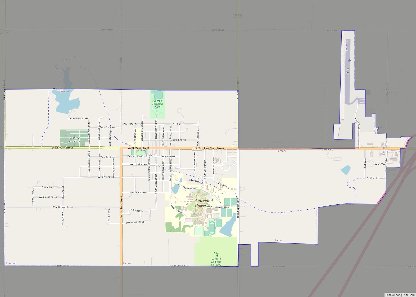
Lamoni is a city in Decatur County, Iowa, United States. The population was 1,969 at the time of the 2020 Census. Lamoni is the home of Graceland University, affiliated with the Community of Christ, and the city was the church’s headquarters from 1880 to 1920, when it moved to Independence, Missouri.
| Name: | Lamoni city |
|---|---|
| LSAD Code: | 25 |
| LSAD Description: | city (suffix) |
| State: | Iowa |
| County: | Decatur County |
| Elevation: | 1,129 ft (344 m) |
| Total Area: | 4.05 sq mi (10.49 km²) |
| Land Area: | 3.95 sq mi (10.24 km²) |
| Water Area: | 0.10 sq mi (0.25 km²) |
| Total Population: | 1,969 |
| Population Density: | 498.23/sq mi (192.37/km²) |
| ZIP code: | 50140 |
| Area code: | 641 |
| FIPS code: | 1942960 |
| GNISfeature ID: | 0458214 |
| Website: | www.leadonlamoni.com |
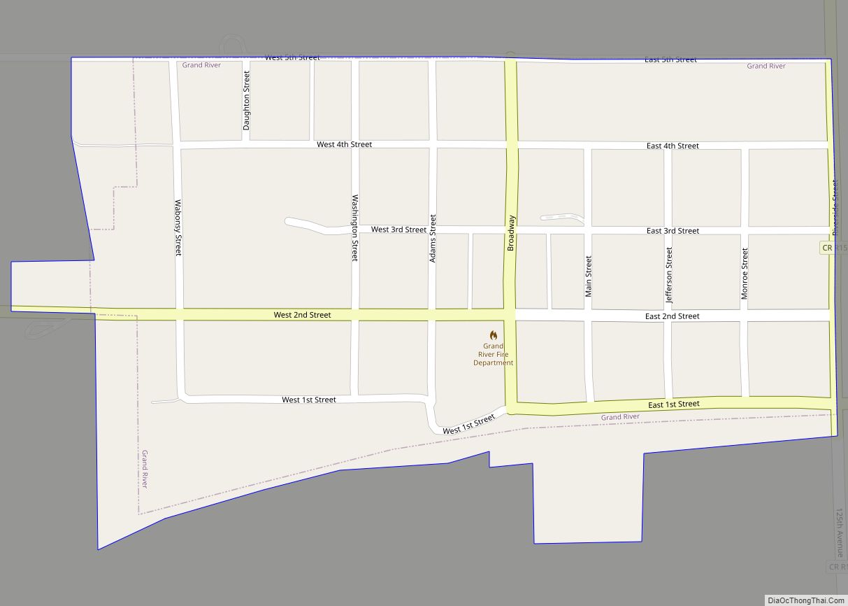
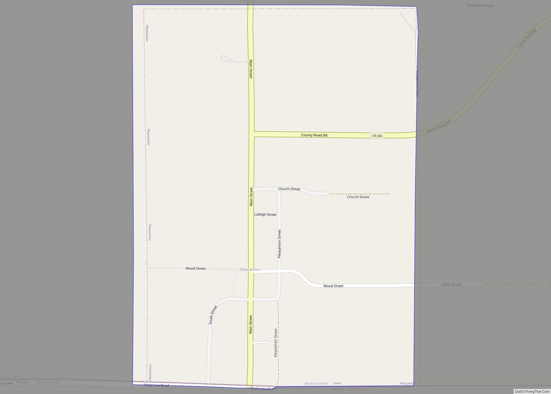
Online Interactive Map
Click on ![]() to view map in "full screen" mode.
to view map in "full screen" mode.
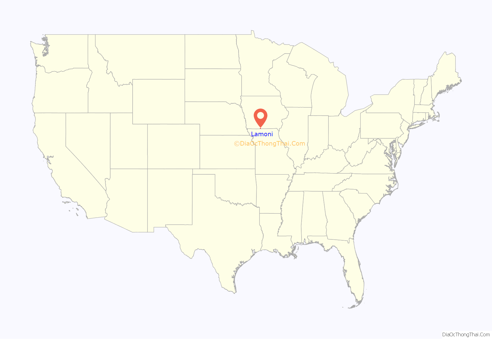
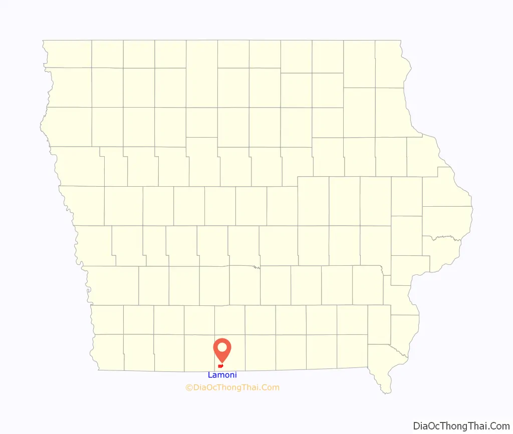
Lamoni location map. Where is Lamoni city?
History
The Lamoni area was first settled in 1834 to 1840 by people who thought they were settling in slave-owning Missouri. It was only after the Sullivan Line separating Missouri and Iowa was formally surveyed when Iowa became a state in 1846 that they realized they were in non-slave-owning Iowa.
In 1851, refugees from the Hungarian Revolution of 1848 sought to settle the area and form the community of New Buda (named for a neighborhood of Budapest). Their efforts did not result in a significant settlement.
In 1870, Joseph Smith III authorized the Order of Enoch to purchase over 3,000 acres (12 km) to form a community of the Reorganized Church of Jesus Christ of Latter Day Saints (RLDS Church). Smith lived in Liberty Hall, now a museum.
The city was named after Lamoni, a king mentioned in the Book of Mormon.
Lamoni, just north of the Missouri border, was chosen because of its good farmland and because it is about 100 miles north of Temple Lot, an important location in church teachings. The Mormons were evicted from Temple Lot and Missouri in the 1838 Mormon War.
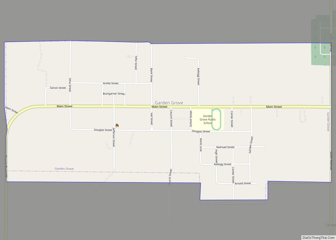
Members of the Church of Jesus Christ of Latter-day Saints, led by Brigham Young, passed through the community in 1846, staying at nearby Garden Grove, Iowa, while en route from Nauvoo, Illinois (where they had settled after being forced to leave Missouri), to the Salt Lake Valley.
Lamoni was formally platted adjacent to newly laid tracks of the Chicago, Burlington and Quincy Railroad in 1879. By 1900, its population had grown to 1,500.
In 1880, Smith moved to Lamoni (as did the RLDS Church headquarters) from Plano, Illinois.
In 1895, the church founded Graceland University in Lamoni.
After the Smith family moved to Independence to the area near Temple Lot in 1916, Liberty Hall served as a home for the aged, a farmhouse, a Civilian Conservation Corps (CCC) camp, and a private residence before becoming a museum.
Charles Hyde and David Vredenburg, members of the church affiliated with the church-owned General Supply Company, which owned Lamoni mills, hardware and grocery stores, started a grocery store chain called the Supply Store in 1930, which in turn became Hy-Vee (from their two names). Lamoni remained the company’s headquarters until 1945, when it moved to Chariton, Iowa.
The Lamoni area has a sizable Amish community, whose businesses are not open on Sundays.
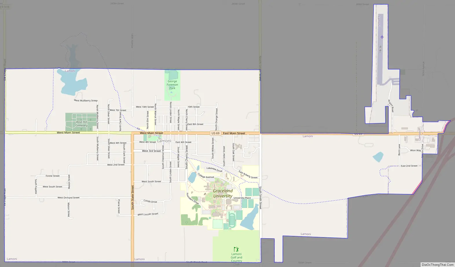
Lamoni Road Map
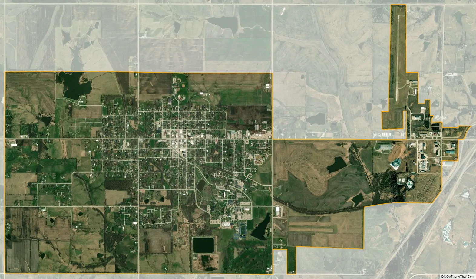
Lamoni city Satellite Map
Geography
Lamoni is located in southwest Decatur County on US Route 69.
According to the United States Census Bureau, the city has an area of 3.44 square miles (8.91 km), of which 3.34 square miles (8.65 km) is land and 0.10 square miles (0.26 km) is water.
Climate
Lamoni has a humid continental climate (Köppen climate classification Dfa).
See also
Map of Iowa State and its subdivision:- Adair
- Adams
- Allamakee
- Appanoose
- Audubon
- Benton
- Black Hawk
- Boone
- Bremer
- Buchanan
- Buena Vista
- Butler
- Calhoun
- Carroll
- Cass
- Cedar
- Cerro Gordo
- Cherokee
- Chickasaw
- Clarke
- Clay
- Clayton
- Clinton
- Crawford
- Dallas
- Davis
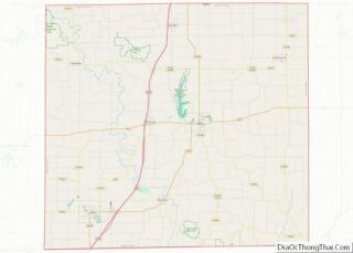
- Decatur
- Delaware
- Des Moines
- Dickinson
- Dubuque
- Emmet
- Fayette
- Floyd
- Franklin
- Fremont
- Greene
- Grundy
- Guthrie
- Hamilton
- Hancock
- Hardin
- Harrison
- Henry
- Howard
- Humboldt
- Ida
- Iowa
- Jackson
- Jasper
- Jefferson
- Johnson
- Jones
- Keokuk
- Kossuth
- Lee
- Linn
- Louisa
- Lucas
- Lyon
- Madison
- Mahaska
- Marion
- Marshall
- Mills
- Mitchell
- Monona
- Monroe
- Montgomery
- Muscatine
- O'Brien
- Osceola
- Page
- Palo Alto
- Plymouth
- Pocahontas
- Polk
- Pottawattamie
- Poweshiek
- Ringgold
- Sac
- Scott
- Shelby
- Sioux
- Story
- Tama
- Taylor
- Union
- Van Buren
- Wapello
- Warren
- Washington
- Wayne
- Webster
- Winnebago
- Winneshiek
- Woodbury
- Worth
- Wright
- Alabama
- Alaska
- Arizona
- Arkansas
- California
- Colorado
- Connecticut
- Delaware
- District of Columbia
- Florida
- Georgia
- Hawaii
- Idaho
- Illinois
- Indiana
- Iowa
- Kansas
- Kentucky
- Louisiana
- Maine
- Maryland
- Massachusetts
- Michigan
- Minnesota
- Mississippi
- Missouri
- Montana
- Nebraska
- Nevada
- New Hampshire
- New Jersey
- New Mexico
- New York
- North Carolina
- North Dakota
- Ohio
- Oklahoma
- Oregon
- Pennsylvania
- Rhode Island
- South Carolina
- South Dakota
- Tennessee
- Texas
- Utah
- Vermont
- Virginia
- Washington
- West Virginia
- Wisconsin
- Wyoming