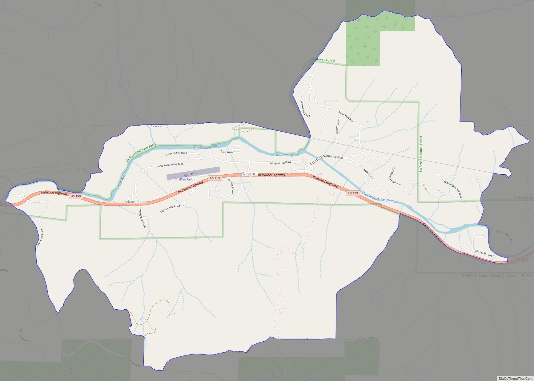
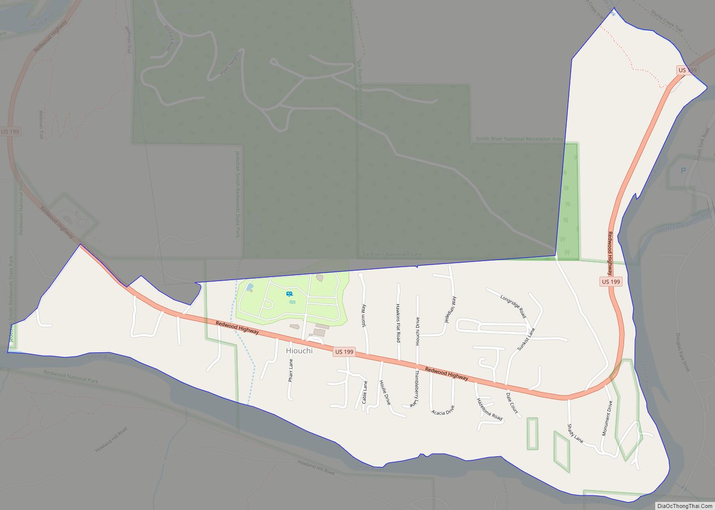
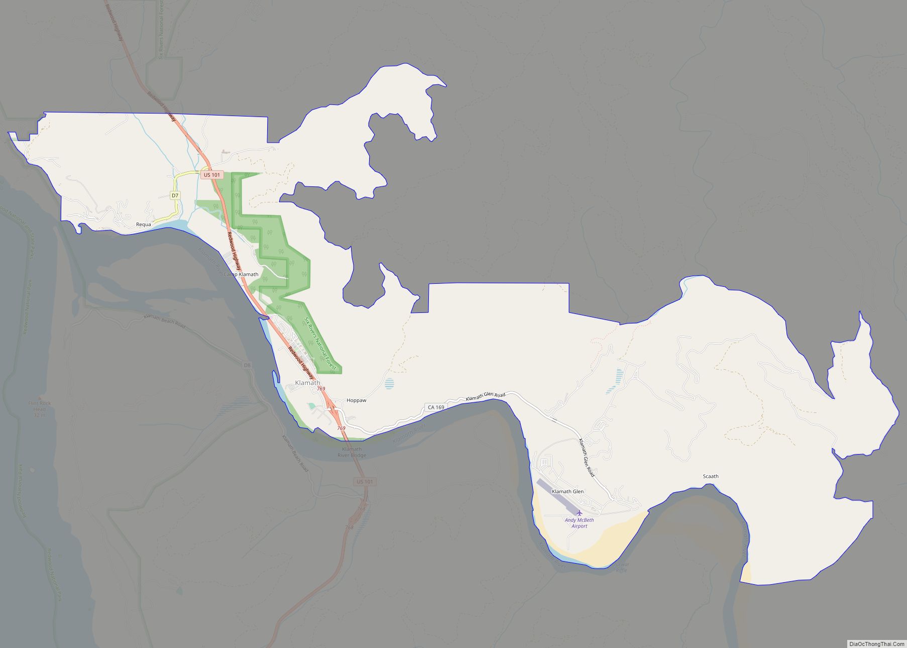
Del Norte County /dɛl ˈnɔːrt/ (Spanish for “Of The North”) is a county at the far northwest corner of the U.S. state of California, along the Pacific Ocean adjacent to the Oregon border. Its population is 27,743 as of the 2020 census, down from 28,610 from the 2010 census. The county seat and only incorporated city is Crescent City. Del Norte was pioneered and populated by Azorean Portuguese settlers and dairy farmers, which may account for the local pronunciation of the county name. Locals pronounce the county name as Del Nort, not Del Nor-teh as would be expected in Spanish.
Del Norte County comprises the Crescent City, CA Micropolitan Statistical Area.
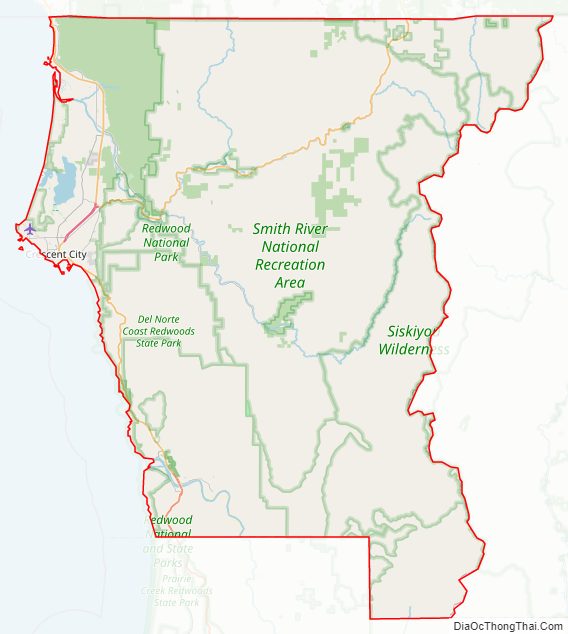
The rural county is notable for forests containing giant Coast Redwoods, with some attaining heights over 350 feet (110 m). This northernmost county on the California coast also has scores of unique plants and flowers, dozens of species of coastal birds and fish, rocky primitive beaches and sea stacks, pristine rivers, and historic lighthouses.
| Name: | Del Norte County |
|---|---|
| FIPS code: | 06-015 |
| State: | California |
| Founded: | 1857 |
| Named for: | Its location, “Of the North” (Spanish: Del norte), in California |
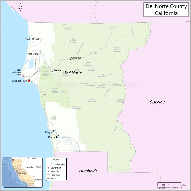
| Seat: | Crescent City |
| Largest city: | Crescent City |
| Total Area: | 1,230 sq mi (3,200 km²) |
| Land Area: | 1,006 sq mi (2,610 km²) |
| Total Population: | 27,743 |
| Population Density: | 28/sq mi (11/km²) |
| Time zone: | UTC−8 (Pacific Time Zone) |
| Summer Time Zone (DST): | UTC−7 (Pacific Daylight Time) |
| Website: | www.co.del-norte.ca.us |
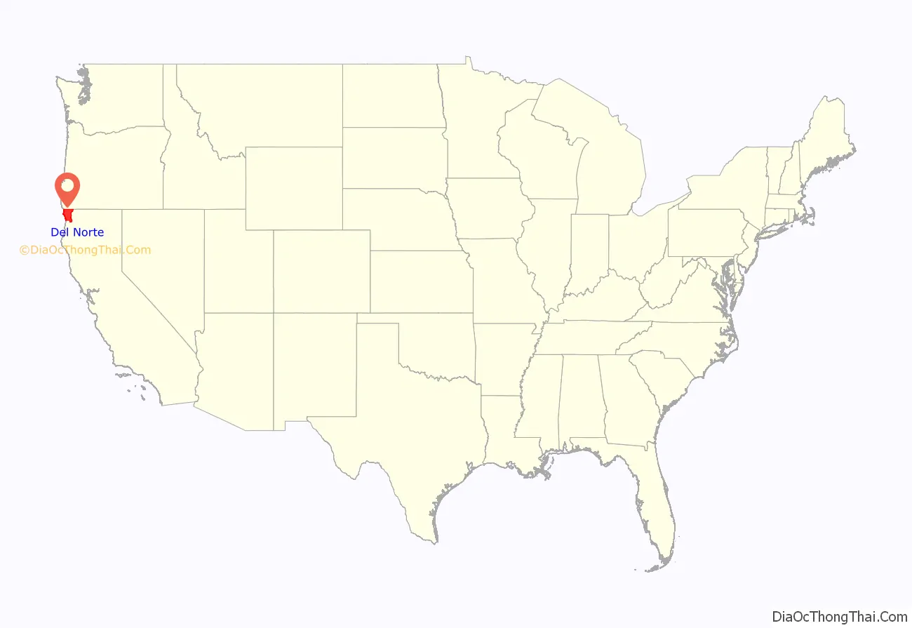
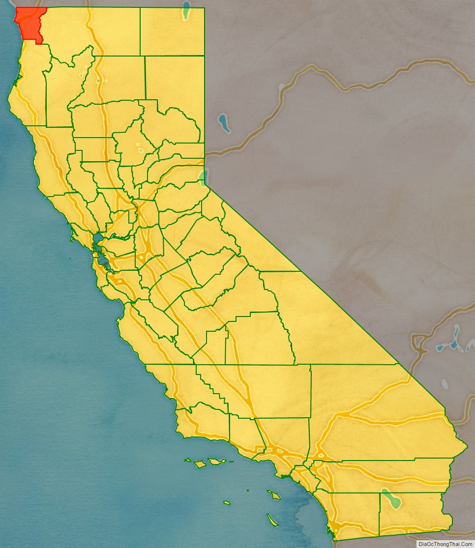
Del Norte County location map. Where is Del Norte County?
History
The area that is now known as Del Norte was and still is inhabited by the Yurok (Klamath River Indians) and Tolowa Nations of indigenous peoples. The first European American to explore this land was pioneer Jedediah Smith in the early-19th century. He was the first European American to reach the area overland on foot in a time before the European Americans knew anything about such a distant territory. For him it was literally “Land’s End” — where the American continent ended at the Pacific Ocean. In 1855 Congress authorized the building of a lighthouse at “the battery point” (a high tide island on the coast of Crescent City) which is still functioning as a historical landmark.
Del Norte County was established in 1857, from part of the territory of Klamath County following the great California Gold Rush. Klamath County itself ceased to exist in 1874.
Del Norte County Road Map
Geography
According to the U.S. Census Bureau, the county has a total area of 1,230 square miles (3,200 km), of which 1,006 square miles (2,610 km) is land and 223 square miles (580 km) (18%) is water.
The mountainous terrain associated with the Coastal Range and the Klamath Mountains dominates Del Norte County’s geography. Elevation ranges from sea level to over 6,400 feet. Although much of the county is made up of steep terrain, there are small patches of flat terrain along the coast and in isolated mountain valleys. There are 37 miles of coastline in the county, forming a coastal zone that covers approximately 51,000 acres (80 square miles). A broad coastal plain can be found in the northwest portion of the county with the western edge of the Klamath Mountains as its easterly boundary. Rising abruptly from the coastal plain, the Klamath Mountains extend north into Oregon and are situated between the Cascade Range to the east and the Coast Range to the north.
Adjacent counties
- Curry County, Oregon – northwest
- Josephine County, Oregon – northeast
- Siskiyou County – east
- Humboldt County – south
Beach
- Pelican State Beach
Recreation area
- Smith River National Recreation Area
Rivers
- Klamath – one of the longest in California.
- Smith – a crown jewel of the National Wild and Scenic River program.
Wildlife refuge
- Castle Rock National Wildlife Refuge
Parks
- Del Norte Coast Redwoods State Park
- Jedediah Smith Redwoods State Park
- Redwood National Park
- Tolowa Dunes State Park
- Ruby Van Deventer County Park
- Florence Keller County Park
Ecology
There is a diversity of flora and fauna within Del Norte County. Vegetative plant associations feature several forest types including mixed oak forest. The California endemic Blue oak, Quercus douglasii is at the northernmost part of its range in Del Norte County. The Black Oak and Douglas-fir are also found in Del Norte County.
Del Norte County Topographic Map
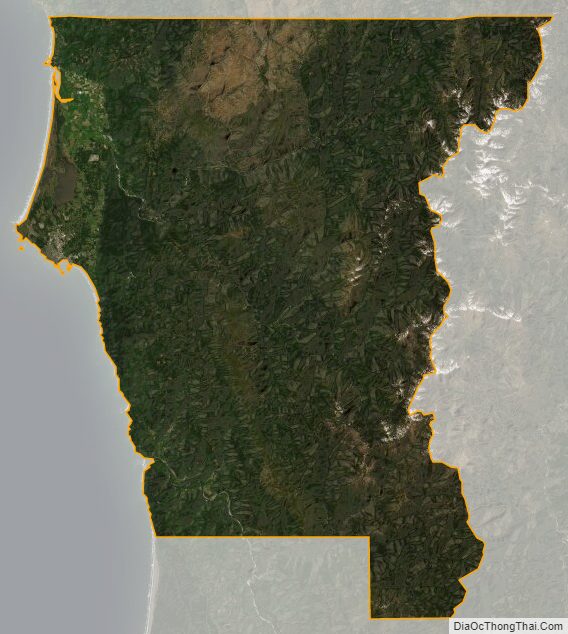
Del Norte County Satellite Map
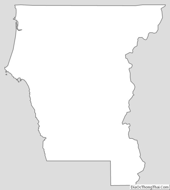
Del Norte County Outline Map