Gasquet (/ˈɡæs.kiː/, GAS-kee; Tolowa: Mvs-ye) is an unincorporated community in Del Norte County, California, United States, 22 mi (35 km) southwest of the Oregon border and 18 miles (29 km) northeast of Crescent City. The name is in honor of Horace Gasquet. Horace Gasquet was the owner of the gold mines, hotel, railway, bank and post office; he was also the founder of Crescent City and Happy Camp. A post office operated at Gasquet from 1879 to 1902 and from 1949 to present. Gasquet is located in the Smith River National Recreation Area.
For statistical purposes, the United States Census Bureau has defined Gasquet as a census-designated place (CDP). The census definition of the area may not precisely correspond to local understanding of the area with the same name. Its population is 657 as of the 2020 census, down from 661 from the 2010 census. It lies at an elevation of 384 feet (117 m) above sea level. The ZIP code is 95543. Its area code is 707.
| Name: | Gasquet CDP |
|---|---|
| LSAD Code: | 57 |
| LSAD Description: | CDP (suffix) |
| State: | California |
| County: | Del Norte County |
| Elevation: | 384 ft (117 m) |
| Total Area: | 4.822 sq mi (12.491 km²) |
| Land Area: | 4.756 sq mi (12.319 km²) |
| Water Area: | 0.066 sq mi (0.172 km²) 1.4% |
| Total Population: | 657 |
| Population Density: | 140/sq mi (53/km²) |
| ZIP code: | 95543 |
| Area code: | 707 |
| FIPS code: | 0629154 |
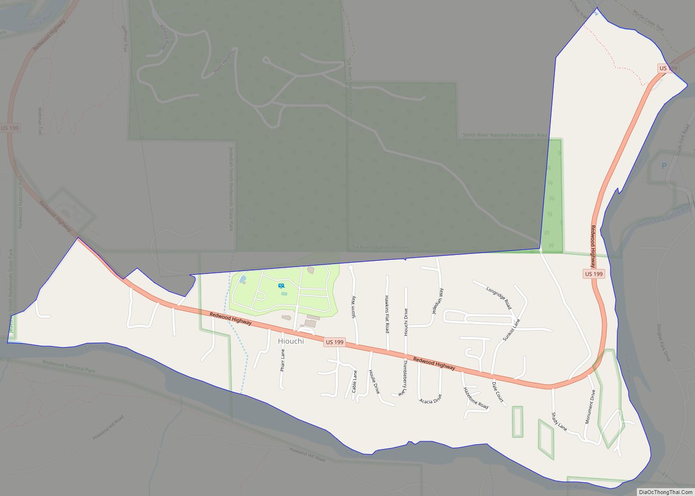
Online Interactive Map
Click on ![]() to view map in "full screen" mode.
to view map in "full screen" mode.
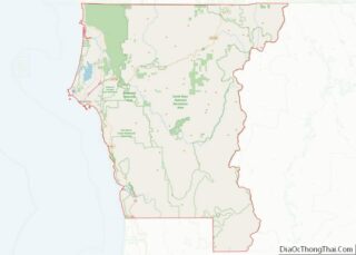
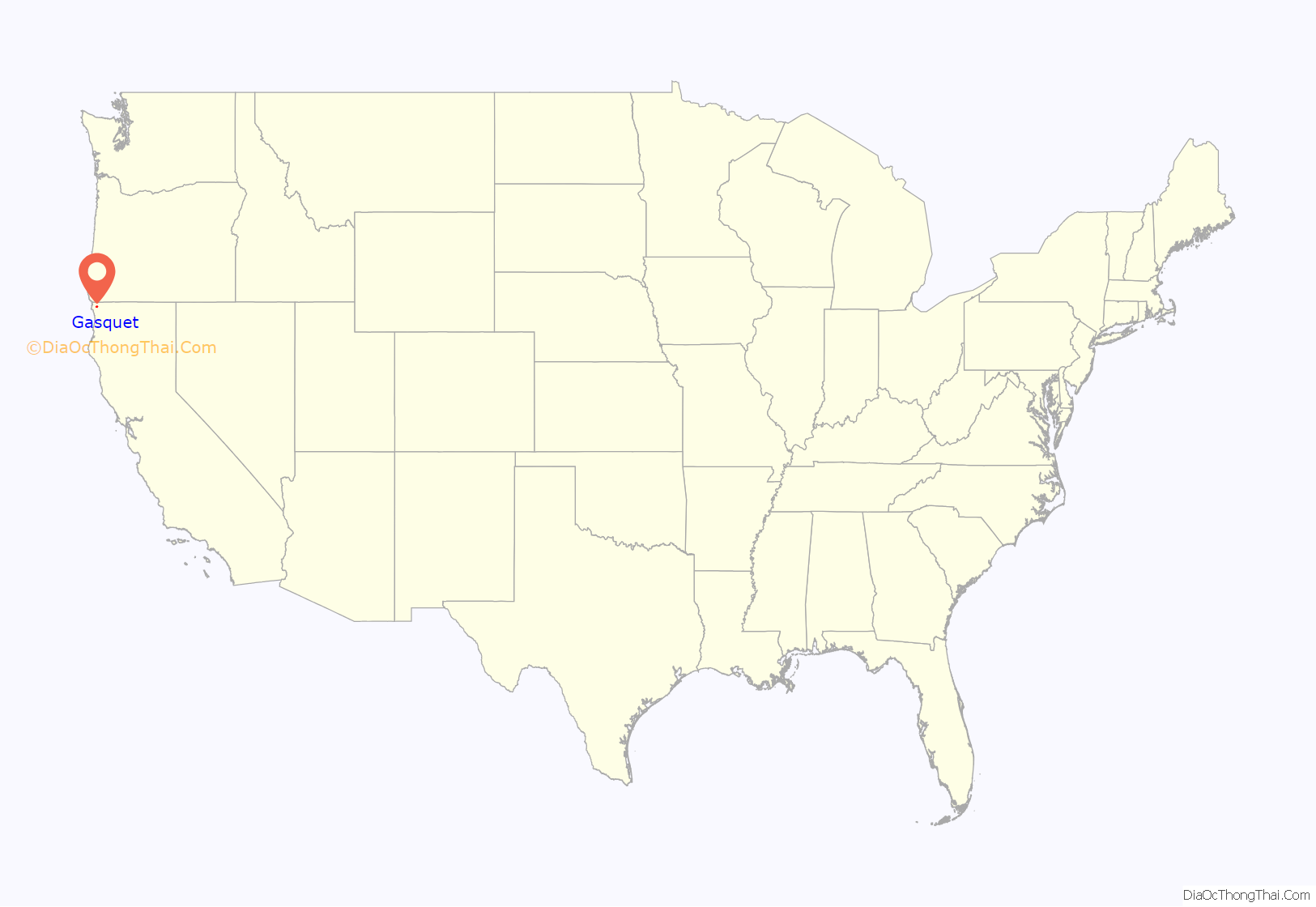
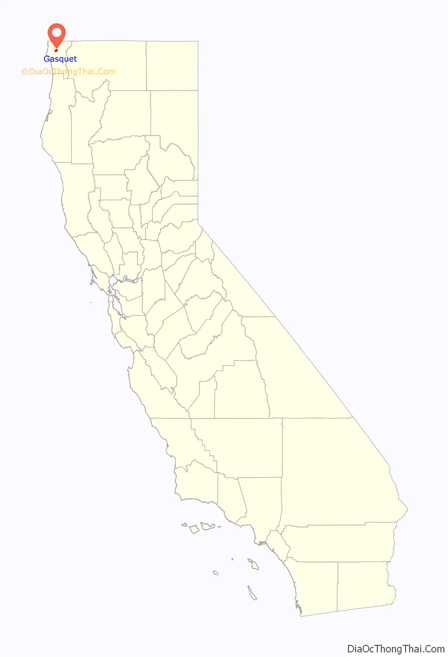
Gasquet location map. Where is Gasquet CDP?
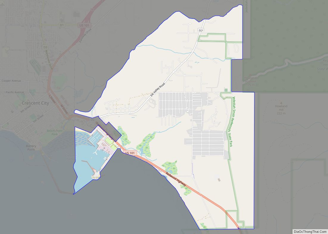
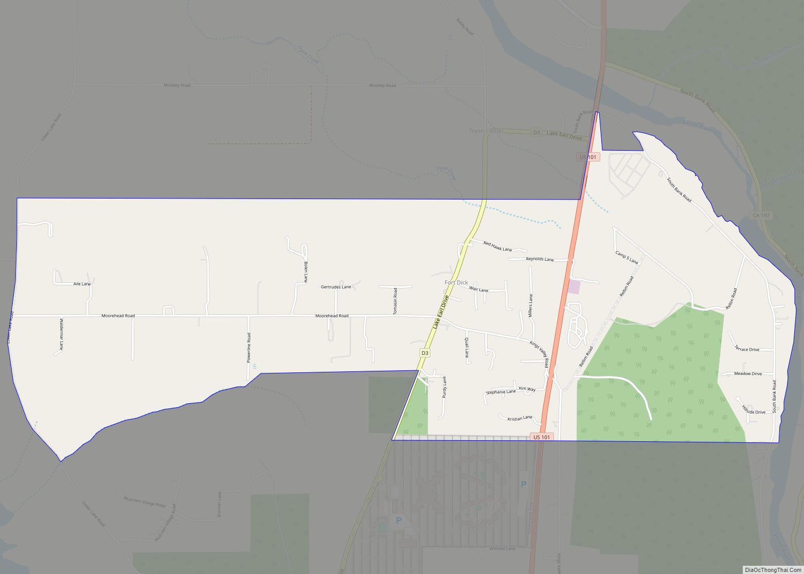
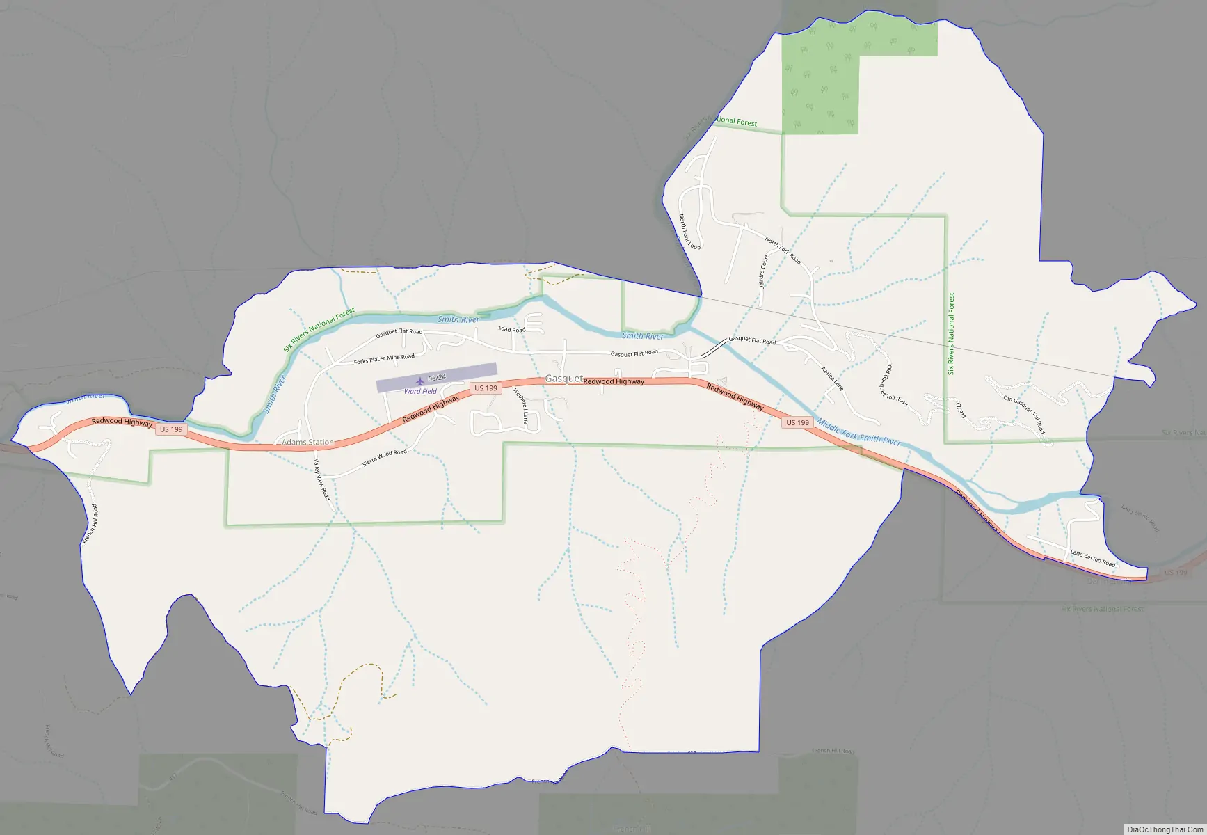
Gasquet Road Map
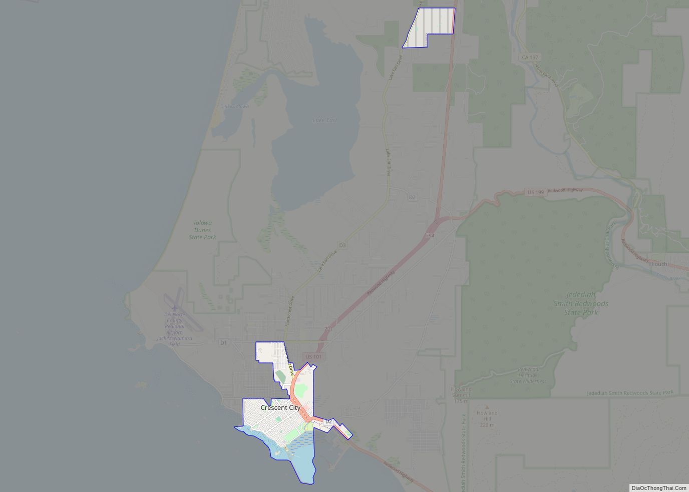
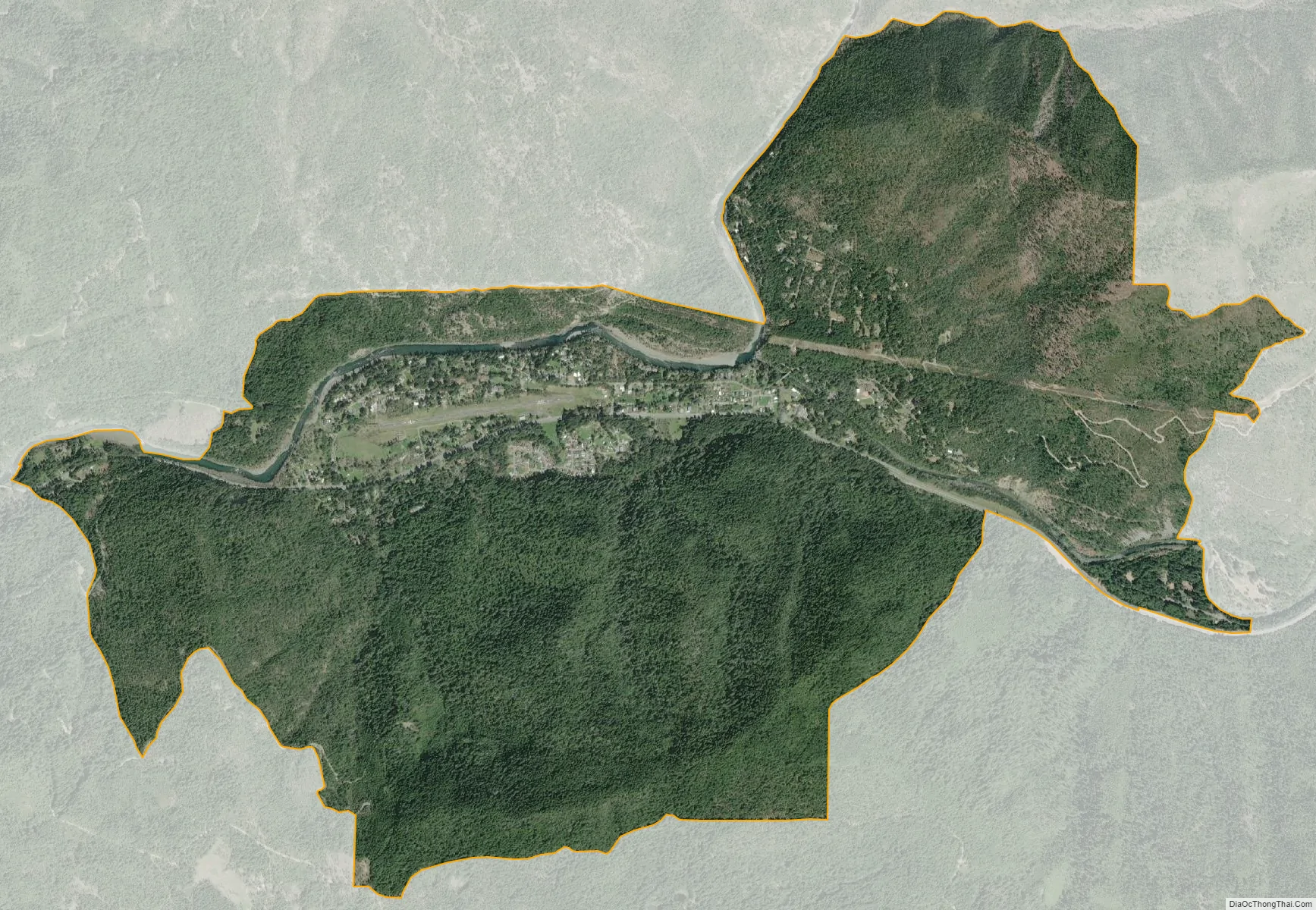
Gasquet city Satellite Map
See also
Map of California State and its subdivision:- Alameda
- Alpine
- Amador
- Butte
- Calaveras
- Colusa
- Contra Costa
- Del Norte
- El Dorado
- Fresno
- Glenn
- Humboldt
- Imperial
- Inyo
- Kern
- Kings
- Lake
- Lassen
- Los Angeles
- Madera
- Marin
- Mariposa
- Mendocino
- Merced
- Modoc
- Mono
- Monterey
- Napa
- Nevada
- Orange
- Placer
- Plumas
- Riverside
- Sacramento
- San Benito
- San Bernardino
- San Diego
- San Francisco
- San Joaquin
- San Luis Obispo
- San Mateo
- Santa Barbara
- Santa Clara
- Santa Cruz
- Shasta
- Sierra
- Siskiyou
- Solano
- Sonoma
- Stanislaus
- Sutter
- Tehama
- Trinity
- Tulare
- Tuolumne
- Ventura
- Yolo
- Yuba
- Alabama
- Alaska
- Arizona
- Arkansas
- California
- Colorado
- Connecticut
- Delaware
- District of Columbia
- Florida
- Georgia
- Hawaii
- Idaho
- Illinois
- Indiana
- Iowa
- Kansas
- Kentucky
- Louisiana
- Maine
- Maryland
- Massachusetts
- Michigan
- Minnesota
- Mississippi
- Missouri
- Montana
- Nebraska
- Nevada
- New Hampshire
- New Jersey
- New Mexico
- New York
- North Carolina
- North Dakota
- Ohio
- Oklahoma
- Oregon
- Pennsylvania
- Rhode Island
- South Carolina
- South Dakota
- Tennessee
- Texas
- Utah
- Vermont
- Virginia
- Washington
- West Virginia
- Wisconsin
- Wyoming