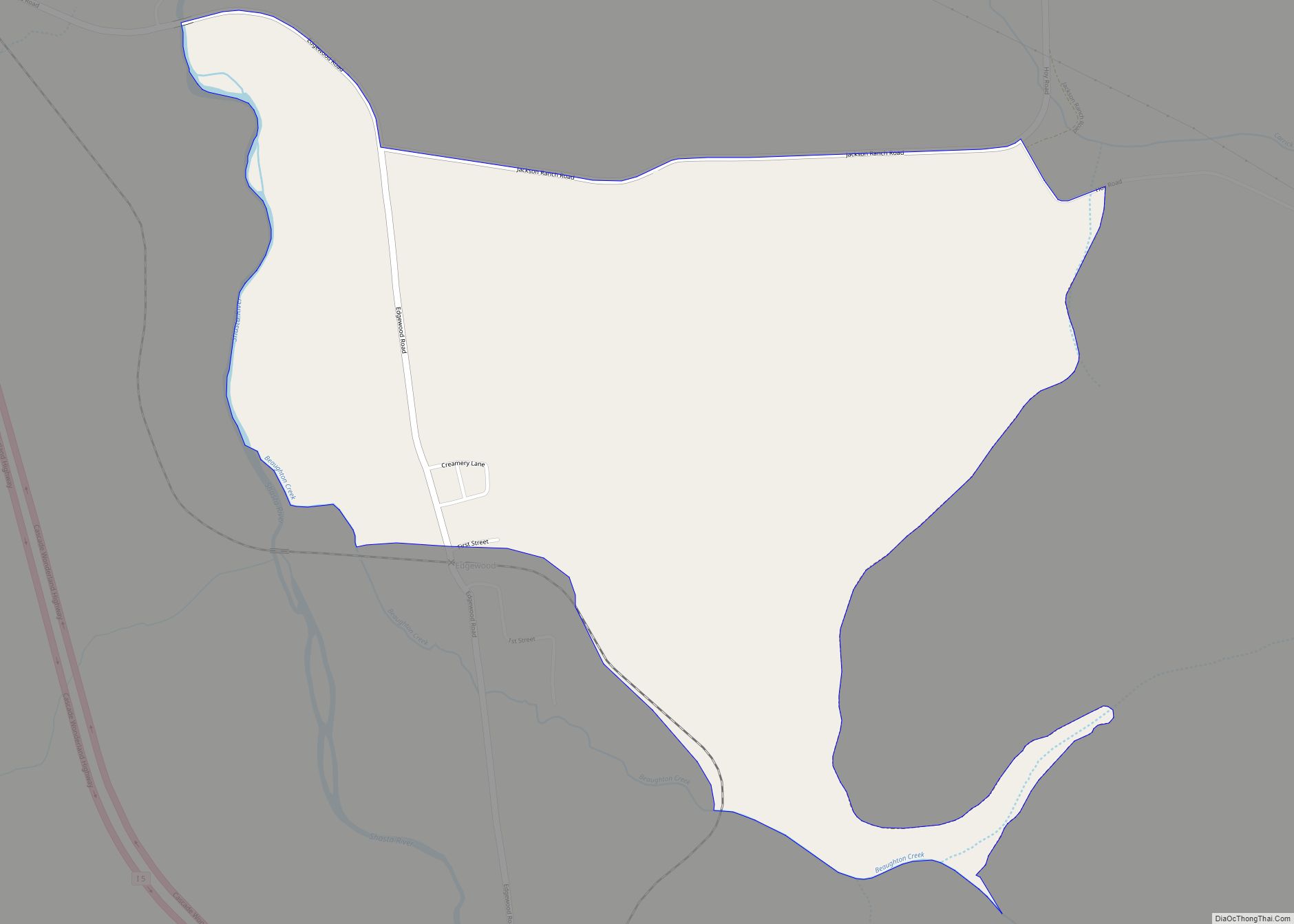
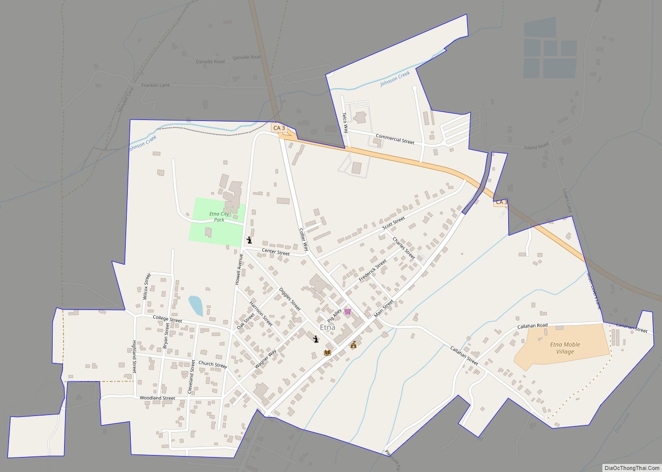
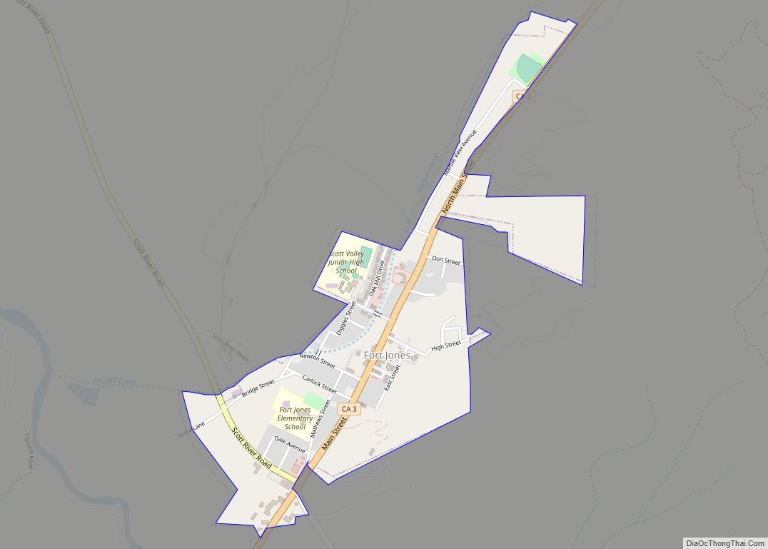
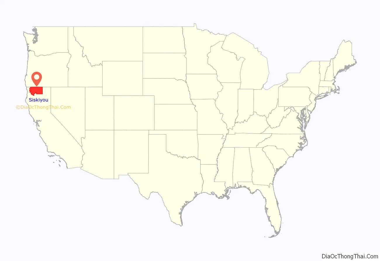
Siskiyou County (/ˈsɪskjuː/ (listen), SISK-yoo) is a county located in the northernmost part of the U.S. state of California. As of the 2020 census, the population was 44,076. Its county seat is Yreka and its highest point is Mount Shasta. It falls within the Cascadia bioregion.
Siskiyou County is in the Shasta Cascade region along with the Oregon border. Because of its outdoor recreation, Mt. Shasta, McCloud River, and Gold Rush era history, it is an important tourist destination within the state.
| Name: | Siskiyou County |
|---|---|
| FIPS code: | 06-093 |
| State: | California |
| Founded: | 1852 |
| Named for: | The Siskiyou Trail |
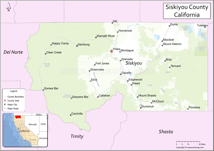
| Seat: | Yreka |
| Largest city: | Yreka |
| Total Area: | 6,347 sq mi (16,440 km²) |
| Land Area: | 6,278 sq mi (16,260 km²) |
| Total Population: | 44,076 |
| Population Density: | 6.9/sq mi (2.7/km²) |
| Time zone: | UTC−8 (Pacific Time Zone) |
| Summer Time Zone (DST): | UTC−7 (Pacific Daylight Time) |
| Website: | www.co.siskiyou.ca.us |
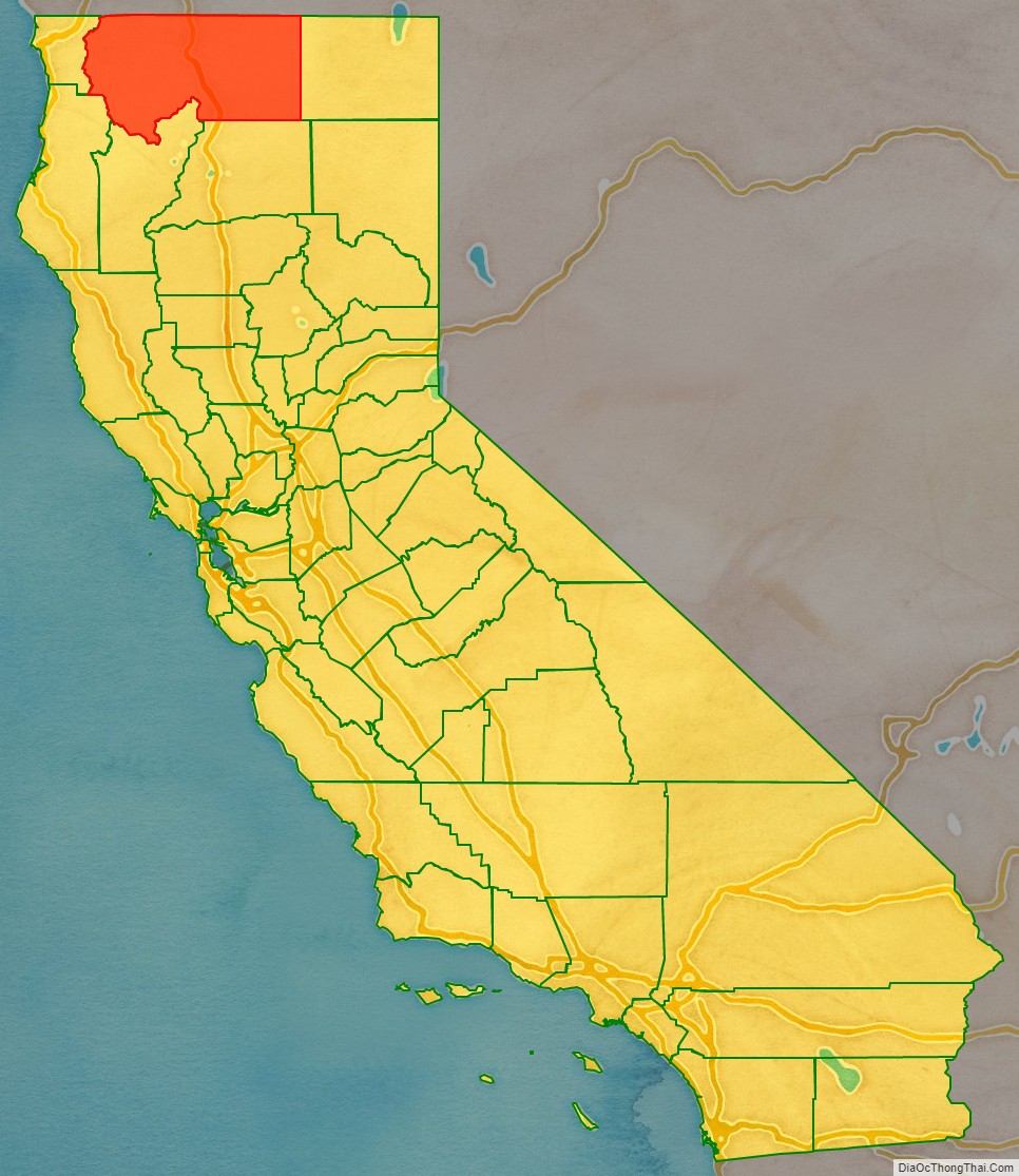
Siskiyou County location map. Where is Siskiyou County?
History
Siskiyou County was created on March 22, 1852, from parts of Shasta and Klamath Counties, and named after the Siskiyou mountain range. Parts of the county’s territory were given to Modoc County in 1855.
The county is the site of the central section of the Siskiyou Trail, which ran between California’s Central Valley and the Pacific Northwest. The Siskiyou Trail followed indigenous footpaths, and was extended by Hudson’s Bay Company trappers in the 1830s. Its length was increased by “Forty-Niners” during the California Gold Rush.
After the discovery of an important gold strike near today’s Yreka, California, in 1851, prospectors flooded the area. This was described in detail by Joaquin Miller in his semi-autobiographical novel Life Amongst the Modocs.
In the mid-1880s, the construction of the Central Pacific Railroad along the Siskiyou Trail brought the first wave of tourism. Visitors were drawn by the county’s many summer resorts, and to hunt or fish in the largely untouched region. The Southern Pacific railroad, the successor to the Central Pacific, called its rail line “The Road of A Thousand Wonders.”
In the early 1940s, Siskiyou County was home to the semi-serious State of Jefferson movement, which sought to create a new state from several counties of northern California and the adjoining counties of southern Oregon. The movement has seen a revival in recent years.
The origin of the word Siskiyou is not known. It may be a Chinook Jargon word for a “bob-tailed horse” (ultimately originating in Cree), or as was argued before the State Senate in 1852, from the French Six Cailloux (six stones), a name given to a ford on the Umpqua River by Michel Laframboise and his Hudson’s Bay Company trappers in 1832. Others claim the Six Cailloux name was appropriated by Stephen Meek, another Hudson’s Bay Company trapper who discovered Scott Valley, for a crossing on the Klamath River near Hornbrook.
The county is home to the Black Bear Ranch, a commune started in 1968 with the slogan “Free Land for free people.”
On September 4, 2013, the Siskiyou County Board of Supervisors voted 4 to 1 to secede from the State of California.
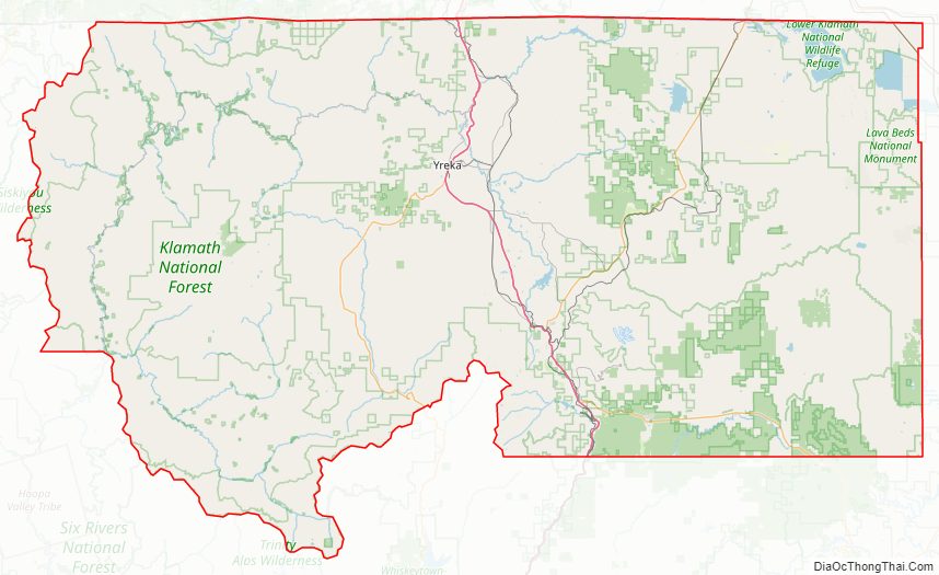
Siskiyou County Road Map
Geography
According to the U.S. Census Bureau, the county has a total area of 6,347 square miles (16,440 km), of which 6,278 square miles (16,260 km) is land and 69 square miles (180 km) (1.1%) is water. It is the fifth-largest county by area in California.
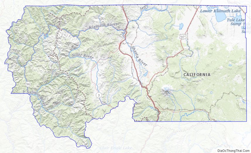
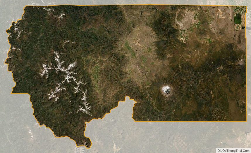
Siskiyou County is geographically diverse. From towering Mount Shasta (elev. 14,179 ft/(4,322 m)) near the center of the county, to lakes and dense forests, as well as desert, chaparral, and memorable waterfalls, the county is home to world-famous trout-fishing rivers and streams, such as the Sacramento and McCloud rivers. The county is dotted as well with lakes and reservoirs, such as Castle Lake and Lake Siskiyou. Mount Shasta itself has a winter sports center. Pastoral Scott Valley in the western part of the county has many wide, tree-lined meadows, supporting large cattle ranches. The basins of northeastern Siskiyou County, including Butte Valley, Lower Klamath and Tule Lake basins, have some of the deepest and richest soils in the state, producing alfalfa, potatoes, horseradish, and brewing barley. Butte Valley nurseries are the leading source of premium strawberry plants in North America. Much of the county is densely forested with pine, fir, incense-cedar, oak, and madrone; Siskiyou County is also home to the rare Baker’s Cypress Tree, Cupressus bakeri, which grows in only eleven scattered locations in the world, five of which are in Siskiyou County. The county’s natural resources are most often used these days for skiing, snowboarding, hiking, mountain biking, camping, and wilderness recreation, as historic logging practices have been largely discontinued due to Federal and State environmental regulations. The county’s water is viewed as sufficiently pure and abundant that the county is a source of significant amounts of bottled water, distributed throughout the country. A large Crystal Geyser plant is at the base of Mt. Shasta, near Weed.
Flora and fauna
Substantial amounts of the county are forested within the Siskiyou and Cascade Ranges, including significant oak woodland and mixed conifer forests. Siskiyou County is the northern extent of the range for California Buckeye, a widespread California endemic. The Klamath National Forest occupies 1,700,000 acres (6,900 km) of land which includes elements in Siskiyou County as well as Jackson County, Oregon.
Adjacent counties
- Josephine County, Oregon – northwest
- Jackson County, Oregon – north
- Klamath County, Oregon – northeast
- Modoc County – east
- Shasta County – southeast
- Trinity County – south
- Humboldt County – southwest
- Del Norte County – west
National protected areas
- Butte Valley National Grassland
- Klamath National Forest (part)
- Lava Beds National Monument (part)
- Lower Klamath National Wildlife Refuge (part)
- Modoc National Forest (part)
- Rogue River National Forest (part)
- Shasta National Forest (part)
- Six Rivers National Forest (part)
- Tule Lake National Wildlife Refuge (part)
- Tule Lake Unit, World War II Valor in the Pacific National Monument (part)
Siskiyou County Topographic Map
Siskiyou County Satellite Map
Siskiyou County Outline Map