Delta County is a county in the Upper Peninsula in the U.S. state of Michigan. As of the 2020 Census, the population was 36,903. The county seat is Escanaba. The county was surveyed in 1843 and organized in 1861. Its name originates from the Greek letter delta (Δ), which refers to the triangular shape of the original county which included segments of Menominee, Dickinson, Iron, and Marquette counties. Recreation and forest products are major industries, and crops include hay, corn, small grains, potatoes, and strawberries.
Delta County comprises the Escanaba, MI Micropolitan Statistical Area.
| Name: | Delta County |
|---|---|
| FIPS code: | 26-041 |
| State: | Michigan |
| Founded: | 1843 |
| Named for: | Greek letter Delta |
| Seat: | Escanaba |
| Largest city: | Escanaba |
| Total Area: | 1,991 sq mi (5,160 km²) |
| Land Area: | 1,171 sq mi (3,030 km²) |
| Total Population: | 36,903 |
| Population Density: | 32/sq mi (12/km²) |
| Time zone: | UTC−5 (Eastern) |
| Summer Time Zone (DST): | UTC−4 (EDT) |
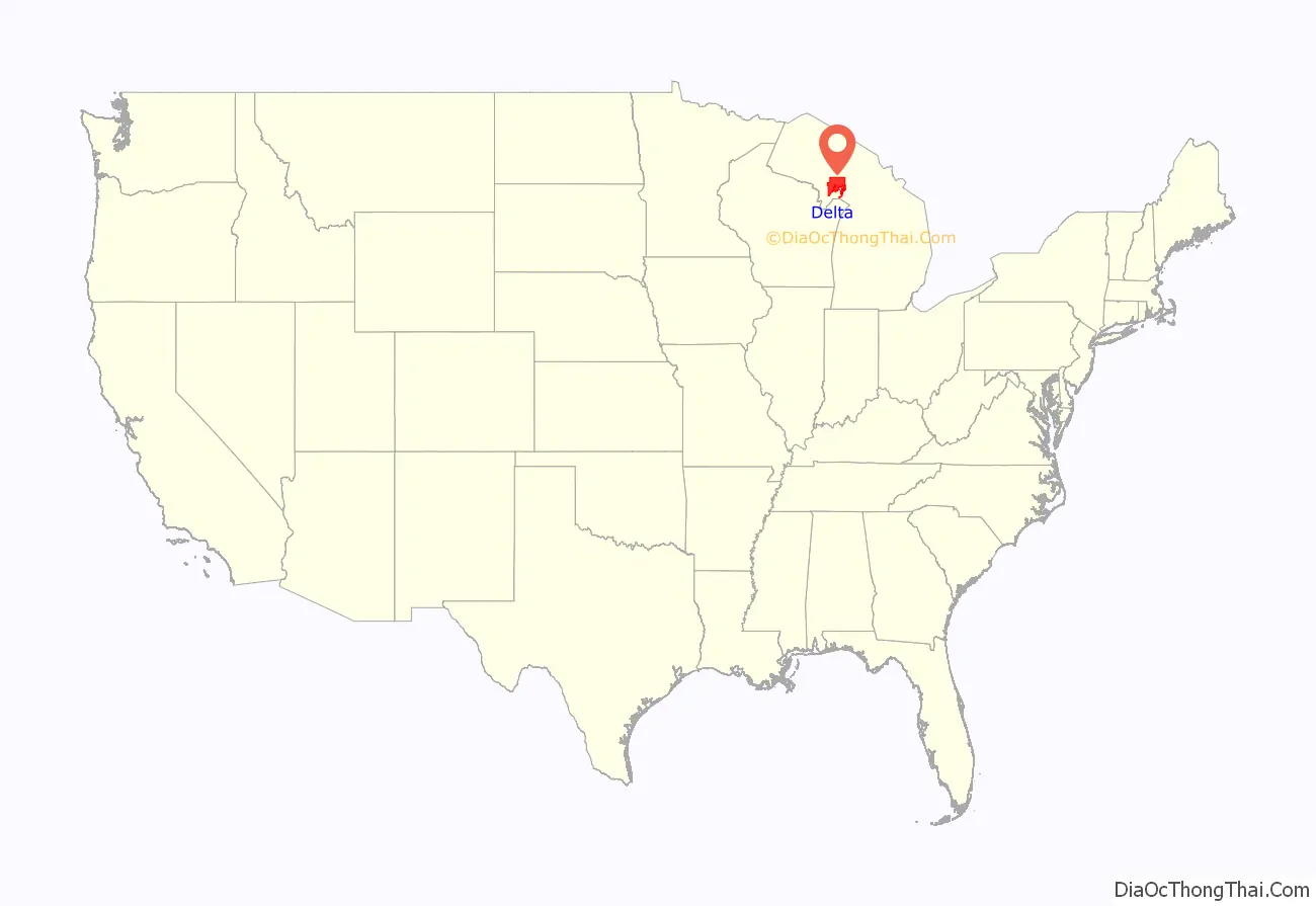
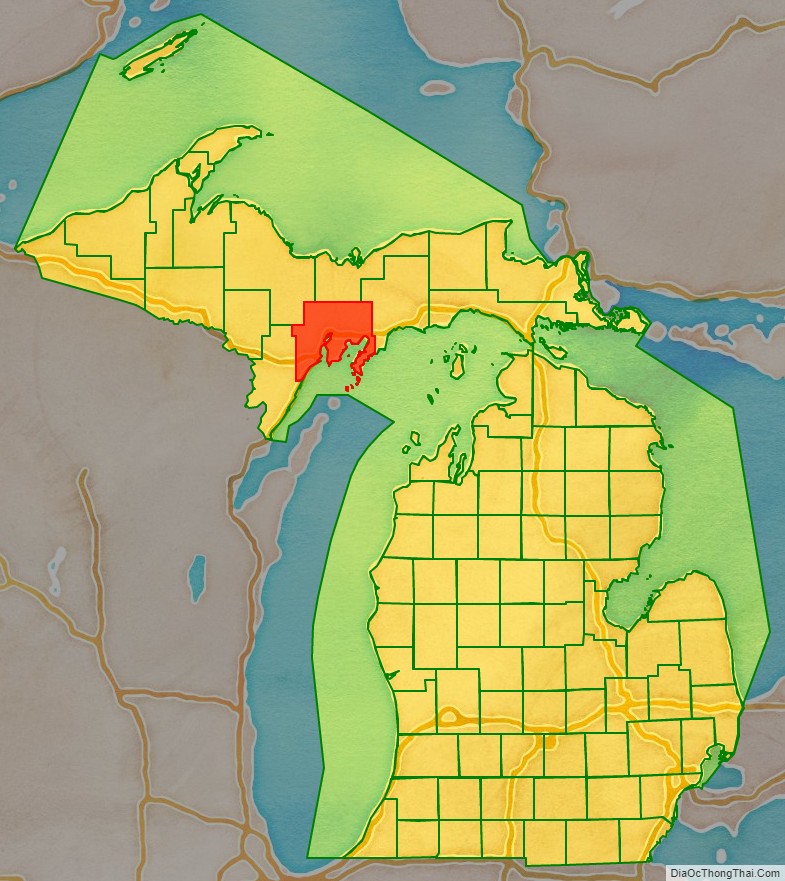
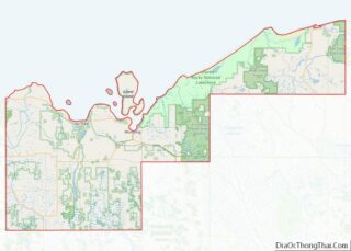
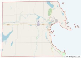
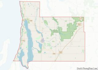
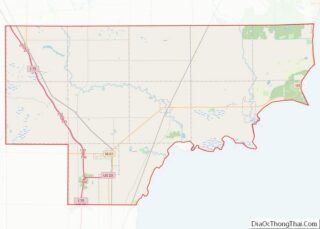
Delta County location map. Where is Delta County?
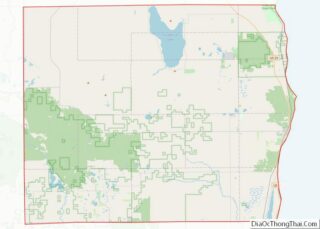
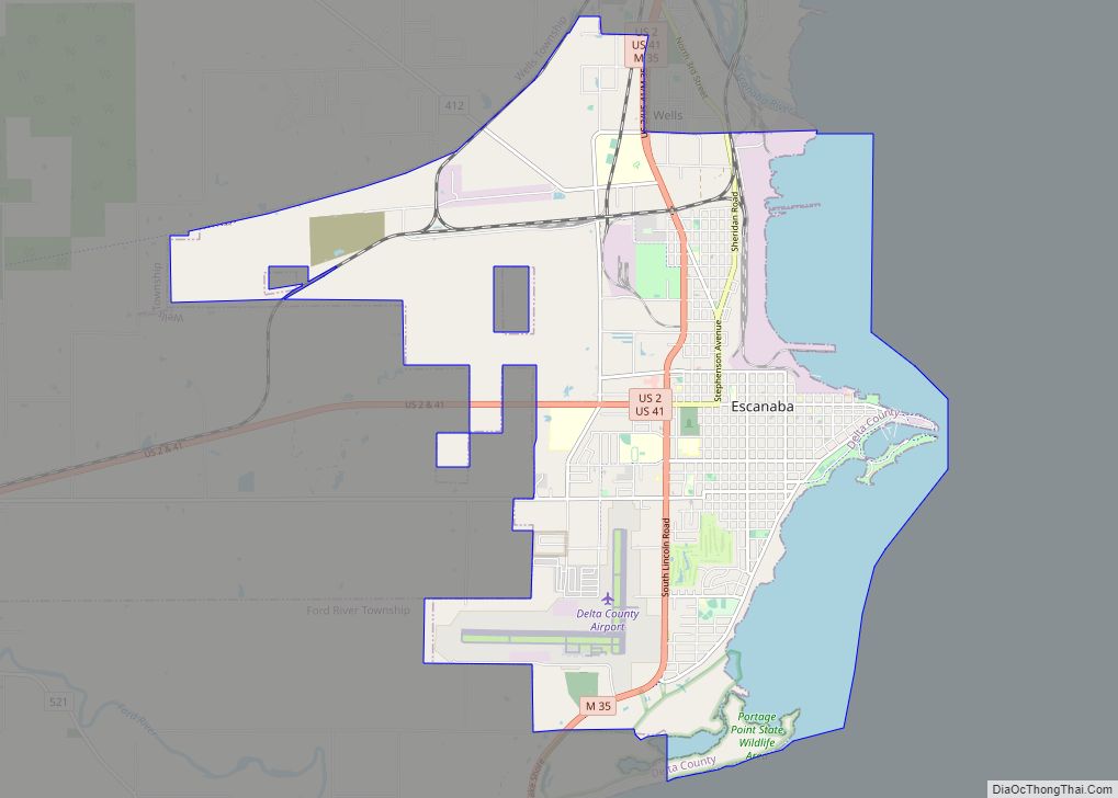
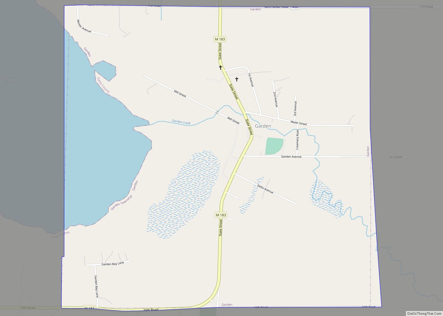
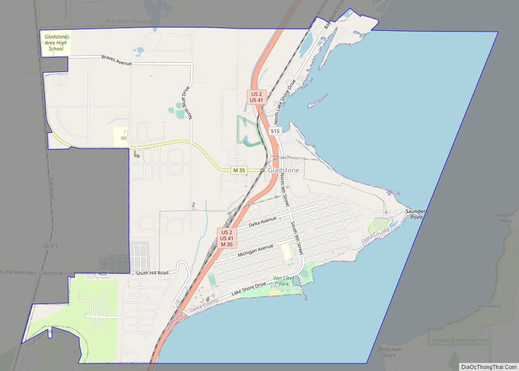
Delta County Road Map
Geography
According to the U.S. Census Bureau, the county has a total area of 1,991 square miles (5,160 km), of which 1,171 square miles (3,030 km) is land and 820 square miles (2,100 km) (41%) is water. It is the fifth-largest county in Michigan by land area.
Adjacent counties
By land
- Menominee County (southwest, Central Time Zone border)
- Marquette County (northwest)
- Alger County (north)
- Schoolcraft County (east)
By water
- Leelanau County (southeast)
- Door County, Wisconsin (south, Central Time Zone border)
National protected area
- Hiawatha National Forest (part)
