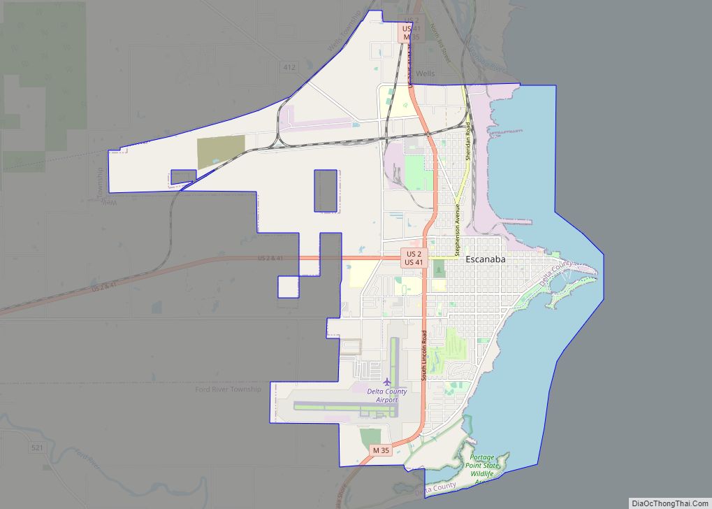
Escanaba (/ˌɛskəˈnɑːbə/ ES-kə-NAH-bə), commonly shortened to Esky, is a port city and the county seat of Delta County in the U.S. state of Michigan, located on Little Bay de Noc in the state’s Upper Peninsula. The population was 12,616 at the 2010 census, making it the third-largest city in the Upper Peninsula after Marquette and Sault Ste. Marie.
There is also Escanaba Township, which is north of the city and is not adjacent to it, although a portion of the urban area around the city extends into the township. Both are named for the Escanaba River, which flows into the Little Bay de Noc of Lake Michigan just north of the city. The names are derived from the Ojibwa language.
| Name: | Escanaba city |
|---|---|
| LSAD Code: | 25 |
| LSAD Description: | city (suffix) |
| State: | Michigan |
| County: | Delta County |
| Incorporated: | 1866 (village) 1883 (city) |
| Elevation: | 607 ft (185 m) |
| Total Area: | 16.37 sq mi (42.39 km²) |
| Land Area: | 12.74 sq mi (33.01 km²) |
| Water Area: | 3.62 sq mi (9.38 km²) |
| Total Population: | 12,450 |
| Population Density: | 976.85/sq mi (377.17/km²) |
| Area code: | 906 |
| FIPS code: | 2626360 |
| GNISfeature ID: | 1619865 |
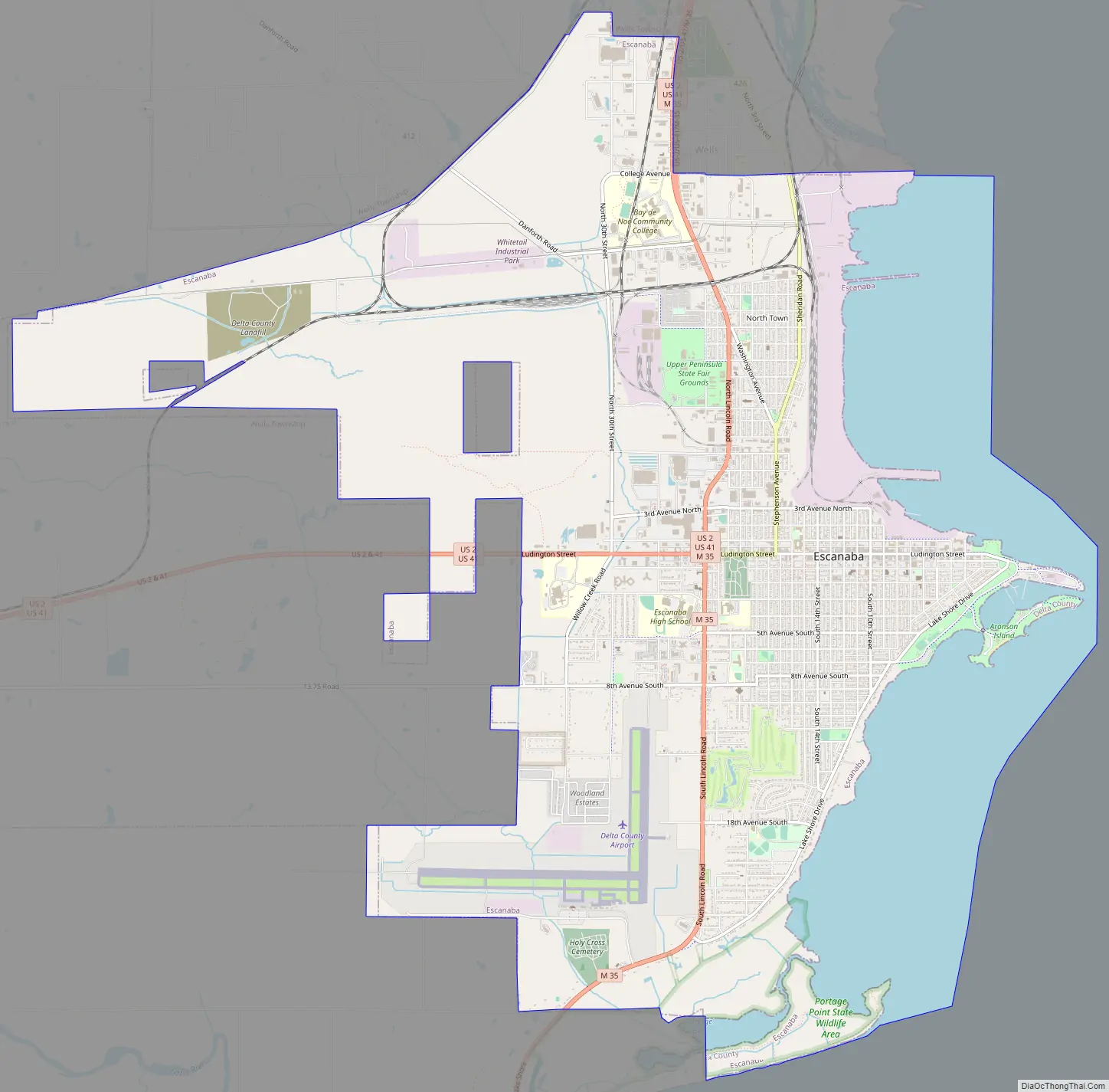
Online Interactive Map
Click on ![]() to view map in "full screen" mode.
to view map in "full screen" mode.
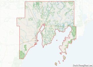
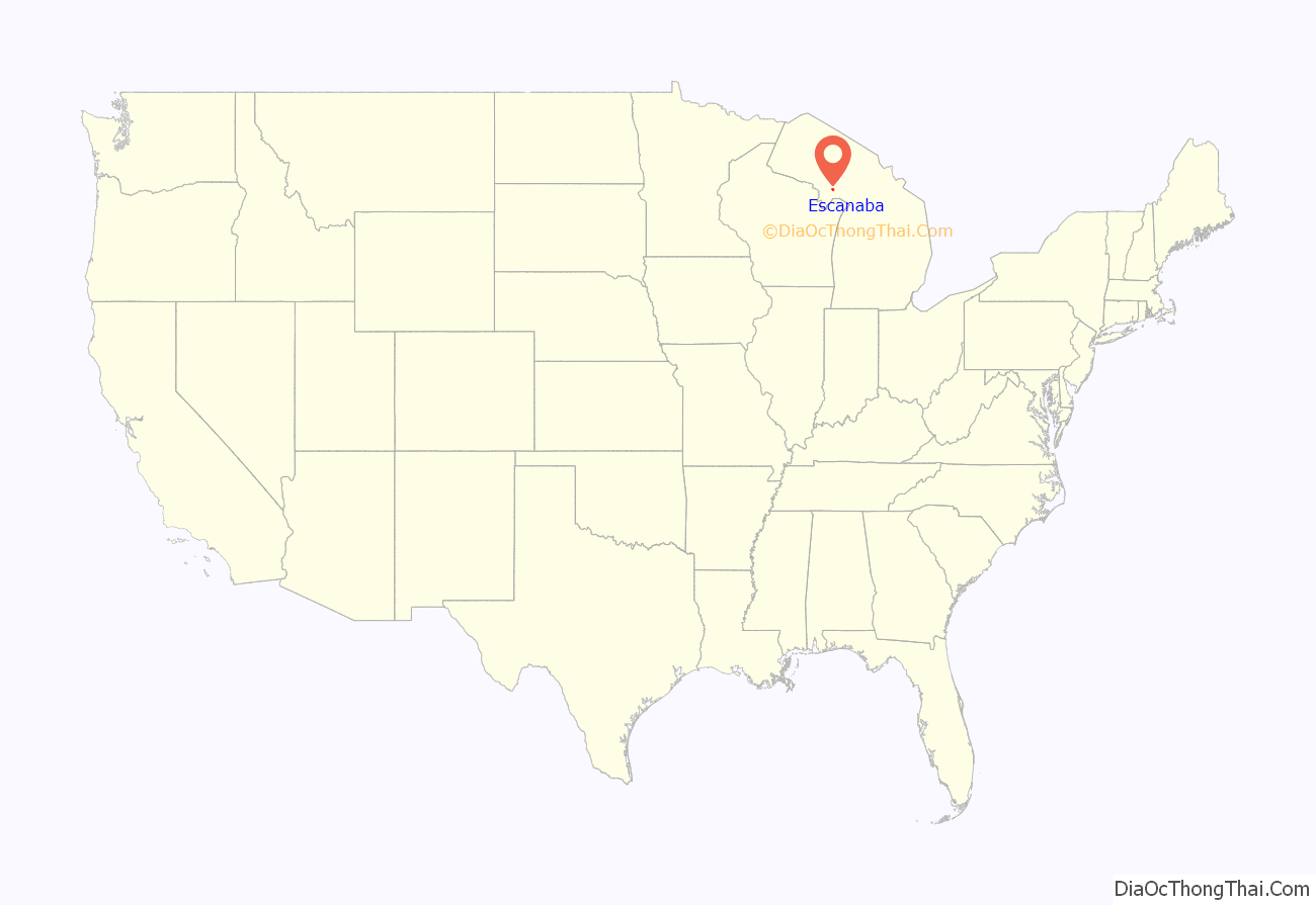
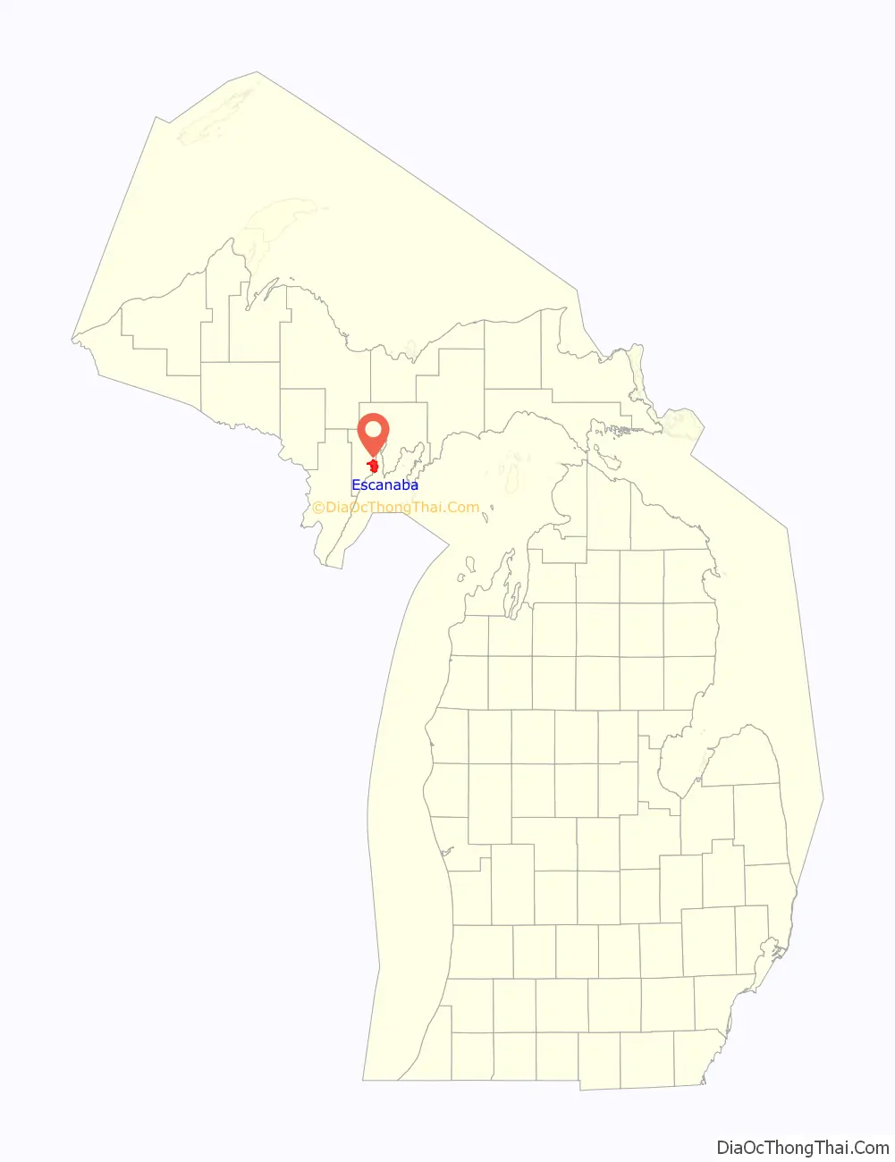
Escanaba location map. Where is Escanaba city?
History
Escanaba was the name of an Ojibwa village in this area in the early 19th century. The Ojibwa are one of the Anishinaabe, Algonquian-speaking tribes who settled and flourished around the Great Lakes. The word “Escanaba” roughly translates from Ojibwe and other regional Algonquian languages to “land of the red buck”, although some people maintain that it refers to “flat rock”.
As a European-American settlement, Escanaba was founded in 1863 as a port town by surveyor Eli P. Royce. Early industry was the processing and harvesting of lumber, dominated in this area by Daniel Wells Jr., Jefferson Sinclair, and Nelson Ludington. Ludington later moved his headquarters to Chicago, where he also entered banking. I. Stephenson established a successor lumber company in the area and also became a capitalist.
Before the war, iron ore was being mined from the Marquette Iron Range, which shipped out on barges from Escanaba. By the time of the American Civil War, this port was important to the Union as a shipping point for these ores, in addition to lumber. The Menominee Range and Gogebic Range of Michigan became important for iron ore after the war, in the 1880s. In 1994, Michigan produced about 25% of the iron ore nationally. Initially lumber was still integral to shipbuilding, and supported the construction of houses in cities throughout the developing Midwest. Iron ore supported industrialization, and became part of steel and other industries in the Midwest. As shipping increased, a lighthouse was needed to warn of a sand shoals in Little Bay de Noc, which extended from Sand Point, a sandspit located just south of and adjacent to the harbor area. The United States Lighthouse Service approved construction of the Sand Point Lighthouse at a cost of $11,000. Construction began in the fall of 1867 and was completed in early spring 1868.
Present day
Until 2017, Escanaba continued to be an important shipping point for iron ore to other Great Lakes ports, especially south to Chicago and northern Indiana. The local paper mill, for many years owned by Mead Corporation’s Publishing Paper Division, was operated by the Verso Corporation until 2022 when it was sold to Billerud. Located on the outskirts of the city alongside the Escanaba River, in 2018 the mill was Escanaba’s largest employer.
Escanaba Road Map
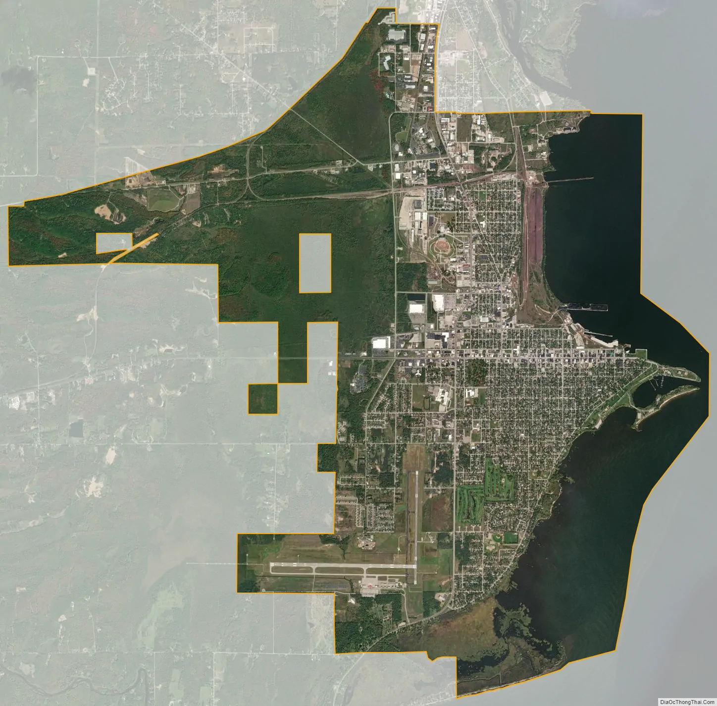
Escanaba city Satellite Map
Geography
According to the United States Census Bureau, the city has a total area of 16.50 sq mi (42.73 km), of which 12.88 sq mi (33.36 km) is land and 3.62 sq mi (9.38 km) is water.
Climate
This climatic region is classified as humid continental climate, abbreviated “Dfb”, according to the Köppen-Geiger climate classification. It is typified by large seasonal temperature differences, with warm to hot (and often humid) summers and cold (sometimes severely cold) winters. Escanaba is described as being in the banana belt of Michigan’s Upper Peninsula. While most of the peninsula is affected by significant lake-effect snow, Escanaba’s winter climate is much milder due to its location on the windward Lake Michigan shoreline.
Winter weather displayed near Ludington Park in Escanaba.
A sunset during the summer, as seen from Water Plant Road.
See also
Map of Michigan State and its subdivision:- Alcona
- Alger
- Allegan
- Alpena
- Antrim
- Arenac
- Baraga
- Barry
- Bay
- Benzie
- Berrien
- Branch
- Calhoun
- Cass
- Charlevoix
- Cheboygan
- Chippewa
- Clare
- Clinton
- Crawford
- Delta
- Dickinson
- Eaton
- Emmet
- Genesee
- Gladwin
- Gogebic
- Grand Traverse
- Gratiot
- Hillsdale
- Houghton
- Huron
- Ingham
- Ionia
- Iosco
- Iron
- Isabella
- Jackson
- Kalamazoo
- Kalkaska
- Kent
- Keweenaw
- Lake
- Lake Hurron
- Lake Michigan
- Lake St. Clair
- Lake Superior
- Lapeer
- Leelanau
- Lenawee
- Livingston
- Luce
- Mackinac
- Macomb
- Manistee
- Marquette
- Mason
- Mecosta
- Menominee
- Midland
- Missaukee
- Monroe
- Montcalm
- Montmorency
- Muskegon
- Newaygo
- Oakland
- Oceana
- Ogemaw
- Ontonagon
- Osceola
- Oscoda
- Otsego
- Ottawa
- Presque Isle
- Roscommon
- Saginaw
- Saint Clair
- Saint Joseph
- Sanilac
- Schoolcraft
- Shiawassee
- Tuscola
- Van Buren
- Washtenaw
- Wayne
- Wexford
- Alabama
- Alaska
- Arizona
- Arkansas
- California
- Colorado
- Connecticut
- Delaware
- District of Columbia
- Florida
- Georgia
- Hawaii
- Idaho
- Illinois
- Indiana
- Iowa
- Kansas
- Kentucky
- Louisiana
- Maine
- Maryland
- Massachusetts
- Michigan
- Minnesota
- Mississippi
- Missouri
- Montana
- Nebraska
- Nevada
- New Hampshire
- New Jersey
- New Mexico
- New York
- North Carolina
- North Dakota
- Ohio
- Oklahoma
- Oregon
- Pennsylvania
- Rhode Island
- South Carolina
- South Dakota
- Tennessee
- Texas
- Utah
- Vermont
- Virginia
- Washington
- West Virginia
- Wisconsin
- Wyoming