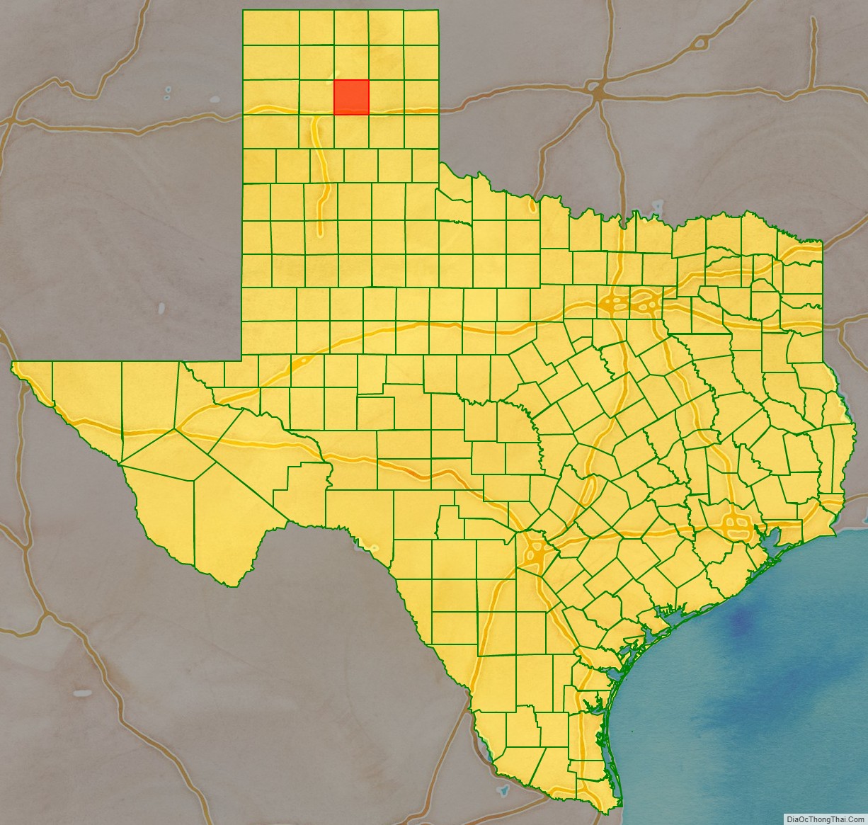
Carson County is a county located in the U.S. state of Texas. As of the 2020 census, its population was 5,807. The county seat is Panhandle. The county was founded in 1876 and later organized in 1888. It is named for Samuel Price Carson, the first secretary of state of the Republic of Texas.
Carson County is included in the Amarillo, TX metropolitan statistical area.
| Name: | Carson County |
|---|---|
| FIPS code: | 48-065 |
| State: | Texas |
| Founded: | 1888 |
| Named for: | Samuel Price Carson |
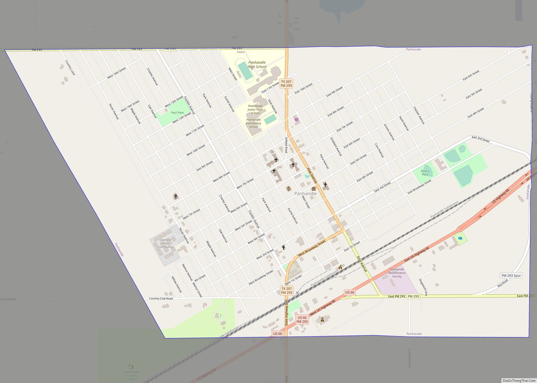
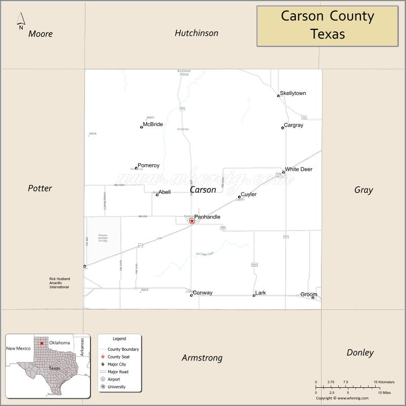
| Seat: | Panhandle |
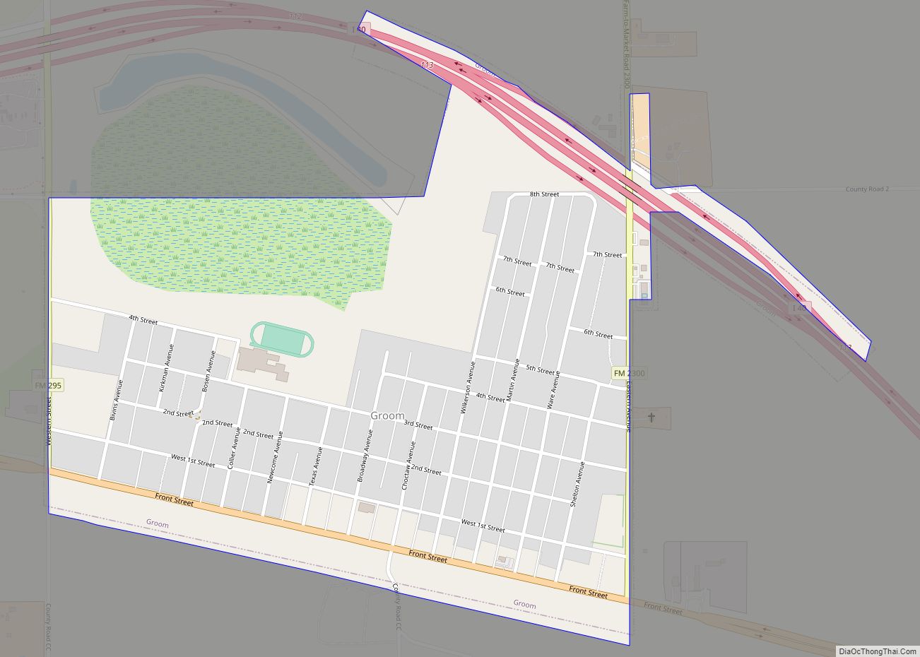
| Largest town: | Panhandle |
| Total Area: | 924 sq mi (2,390 km²) |
| Land Area: | 920 sq mi (2,400 km²) |
| Total Population: | 5,807 |
| Population Density: | 6.3/sq mi (2.4/km²) |
| Time zone: | UTC−6 (Central) |
| Summer Time Zone (DST): | UTC−5 (CDT) |
| Website: | www.co.carson.tx.us |
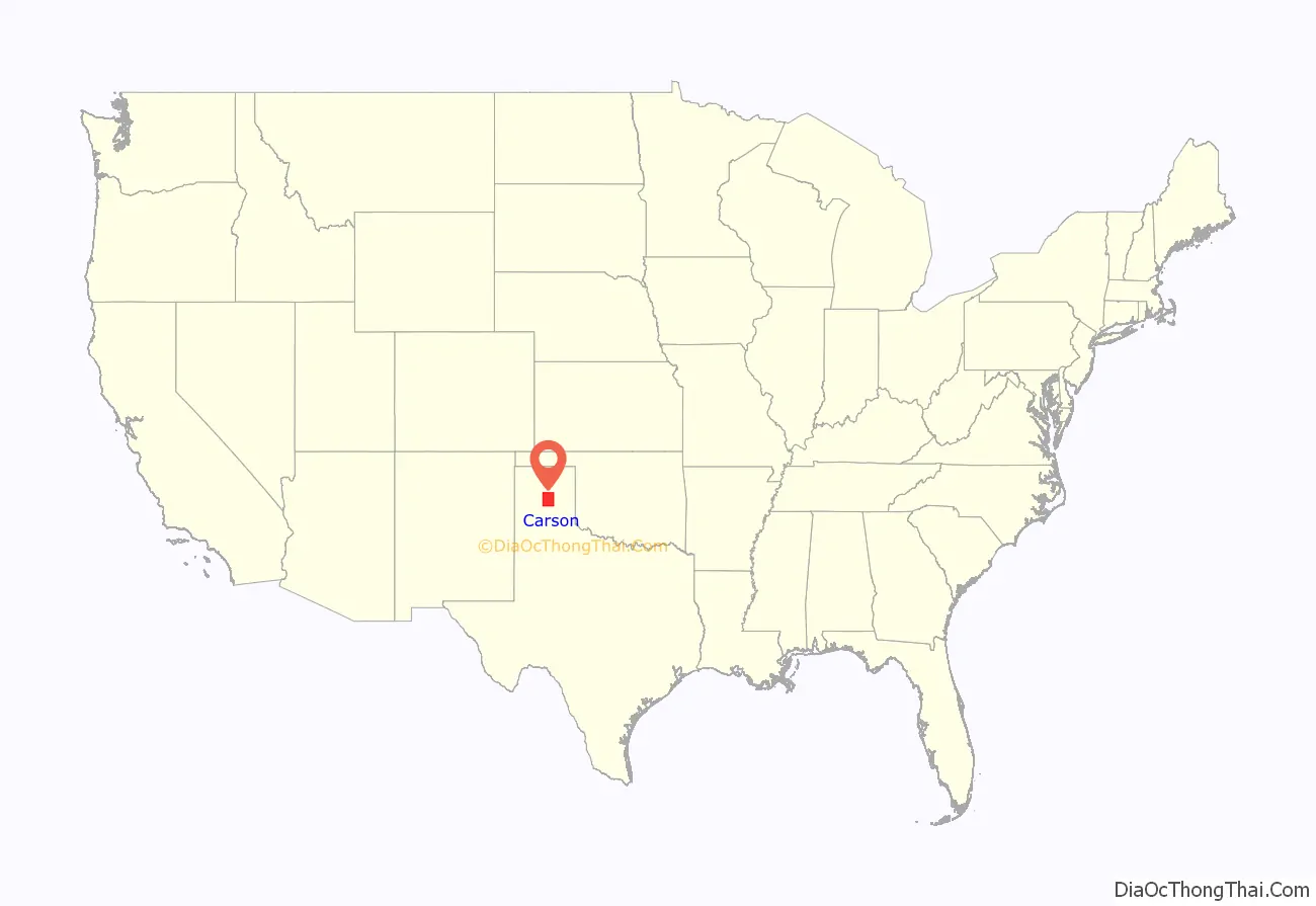
Carson County location map. Where is Carson County?
History
Native Americans
Prehistoric hunter-gatherers were the first inhabitants, followed by the Plains Apache. Modern Apache tribes followed them and were displaced by Comanches. The Comanches were defeated by the United States Army in the Red River War of 1874.
Early explorations
Spanish conquistador Francisco Vásquez de Coronado explored the Llano Estacado in 1541.
County established and growth
Carson County was established in 1876 from Bexar County. The county was organized in 1888. Panhandle, the only town at the time, became the county seat.
Ranching began to be established in the county in the 1880s. The JA Ranch encompassed over a million acres (4,000 km) within six adjoining counties. Richard E. McNalty established the Turkey Track Ranch in 1878. One of the early failed attempts came in 1882 when Charles G. Francklyn purchased 637,440 acres (2,579.6 km) of railroad lands in adjoining counties to form the Francklyn Land and Cattle Company. The lands were later sold to the White Deer Lands Trust of British bondholders in 1886 and 1887.
Railroads began to reach the county by 1886 when the Atchison, Topeka and Santa Fe Railway subsidiary Southern Kansas Railway extended the line into Texas, making Panhandle City a railhead in 1888. In 1889, the Fort Worth and Denver Railway linked Panhandle City with Washburn in Armstrong County. In 1904, the Chicago, Rock Island and Gulf bought the line. In 1908, the Southern Kansas of Texas extended its line from Panhandle City to Amarillo, thus making the Kansas-Texas-New Mexico line a major transcontinental route. The Choctaw, Oklahoma and Texas Railroad built across the southern edge of the county.
Pumping underground water with windmills resolved the issue of bringing water from Roberts County via the railroad.
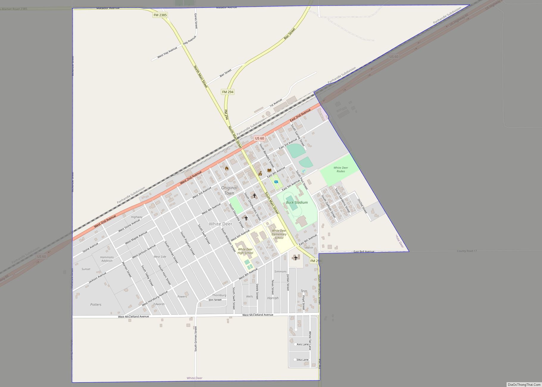
White Deer in 1909 became home to Polish Catholic immigrants, who had first settled Panna Maria in Karnes County before migrating to Carson County.
Experimental drilling by Gulf Oil Corporation led to the county’s, and the Panhandle’s, first oil and gas production in late 1921. Borger field was discovered in 1925, sparking much oil exploration and production of the Panhandle area. By the end of 2000, more than 178,398,900 barrels (28,363,160 m) of petroleum had been produced from county lands.
In September 1942, the Pantex Ordnance Plant was built on 16,076 acres (65.06 km) of southwestern Carson County land, to pack and load shells and bombs in support of the World War II effort. Operations ceased August 1945, and in 1949, the site was sold to Texas Tech University at Amarillo for agricultural experimentation. Pantex reopened in 1951 as a nuclear weapons assembly plant. In 1960, Pantex began high-explosives development in support of the Lawrence Livermore National Laboratory in California. Pantex has a long-term mission to safely and securely maintain the nation’s nuclear weapons stockpile and dismantle weapons retired by the military.
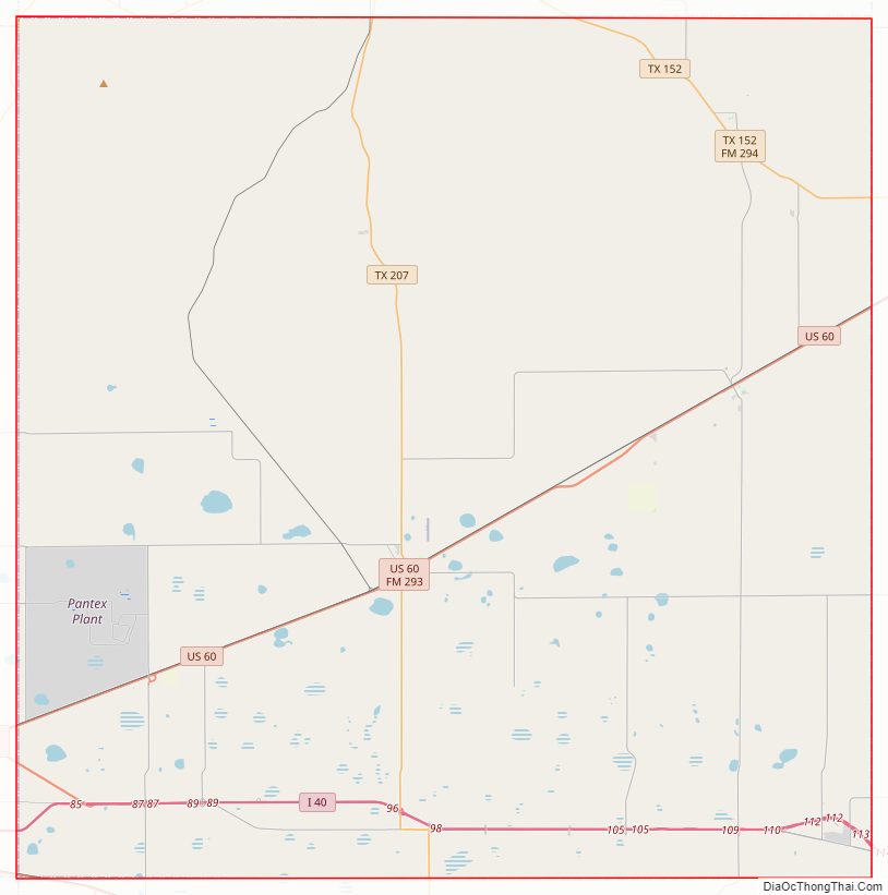
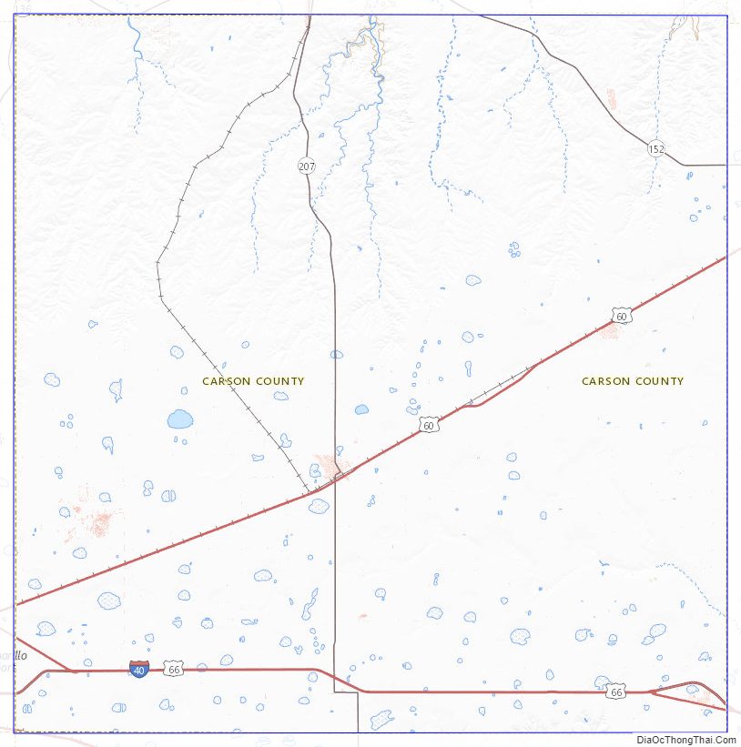
Carson County Road Map
Geography
According to the U.S. Census Bureau, the county has a total area of 924 square miles (2,390 km), of which 3.9 square miles (10 km) (0.4%) are covered by water.
Major highways
- Interstate 40
- U.S. Highway 60
- State Highway 152
- State Highway 207
- Farm to Market Road 293
Adjacent counties
- Hutchinson County (north)
- Roberts County (northeast)
- Gray County (east)
- Donley County (southeast)
- Armstrong County (south)
- Randall County (southwest)
- Potter County (west)
- Moore County (northwest)
Carson County Topographic Map
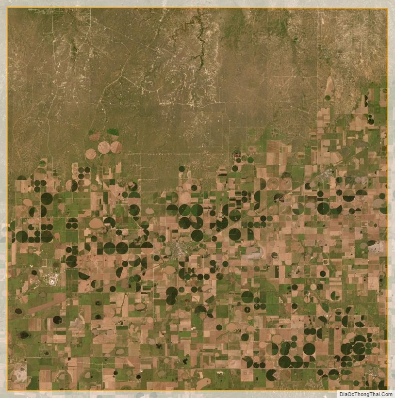
Carson County Satellite Map
Carson County Outline Map