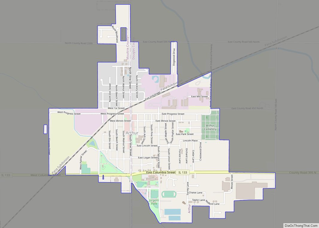
Arthur is a village in Douglas and Moultrie counties in Illinois, with Arthur’s primary street, Vine Street, being the county line. The population was 2,231 at the 2020 census. The Arthur area is home to the largest and oldest Amish community in Illinois, which was founded in the 1860s.
| Name: | Arthur village |
|---|---|
| LSAD Code: | 47 |
| LSAD Description: | village (suffix) |
| State: | Illinois |
| County: | Douglas County, Moultrie County |
| Elevation: | 663 ft (202 m) |
| Total Area: | 1.34 sq mi (3.46 km²) |
| Land Area: | 1.34 sq mi (3.46 km²) |
| Water Area: | 0.00 sq mi (0.00 km²) |
| Total Population: | 2,231 |
| Population Density: | 1,668.66/sq mi (644.48/km²) |
| ZIP code: | 61911 |
| Area code: | 217 |
| FIPS code: | 1702414 |
| Website: | www.arthur-il.gov |
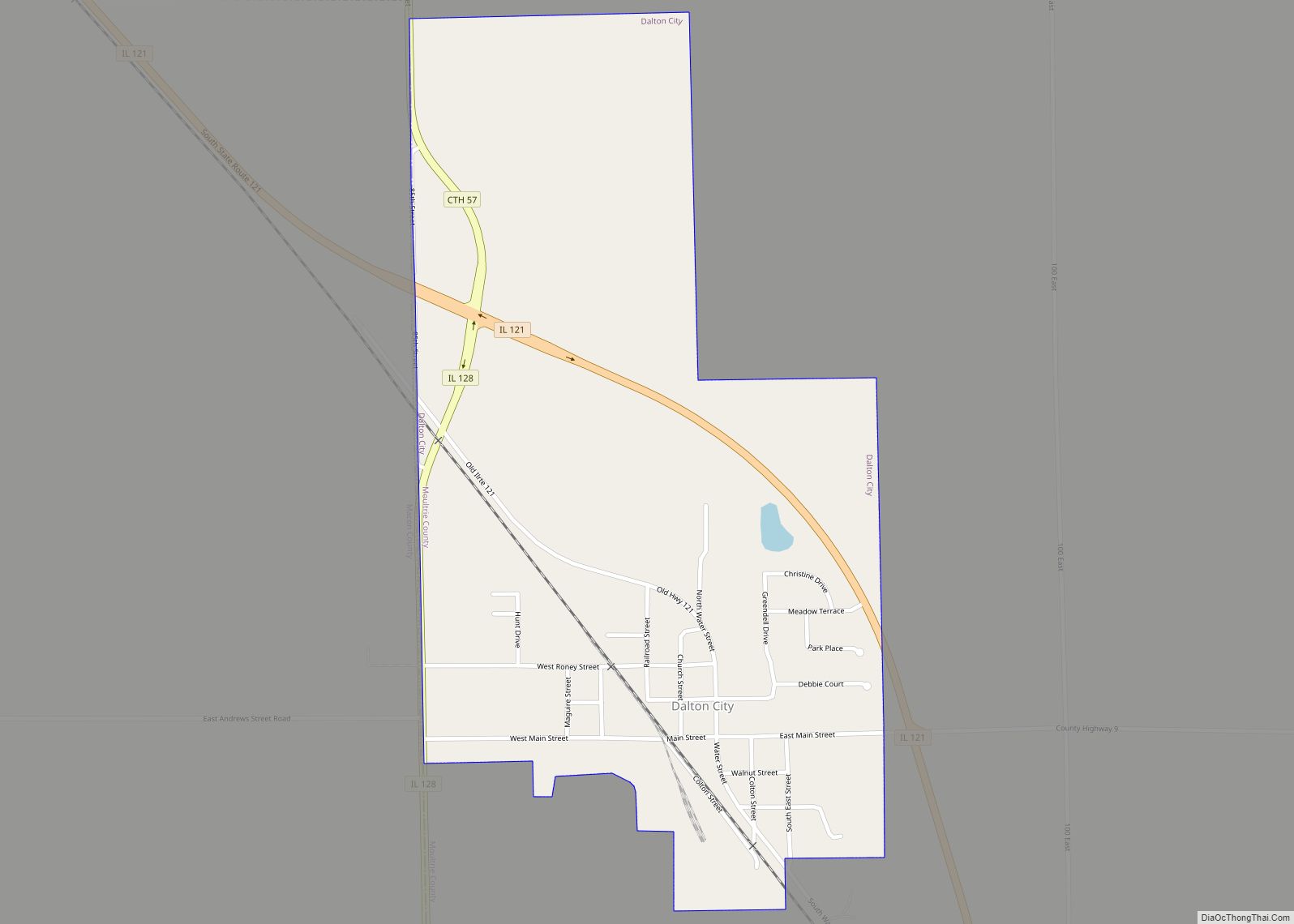
Online Interactive Map
Click on ![]() to view map in "full screen" mode.
to view map in "full screen" mode.
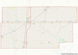
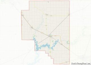
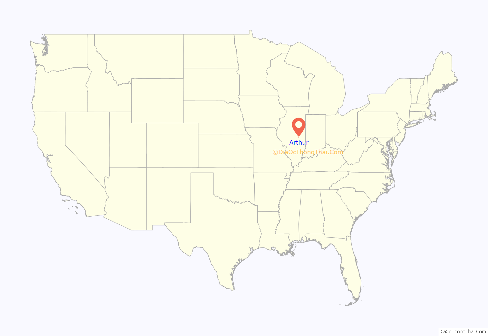
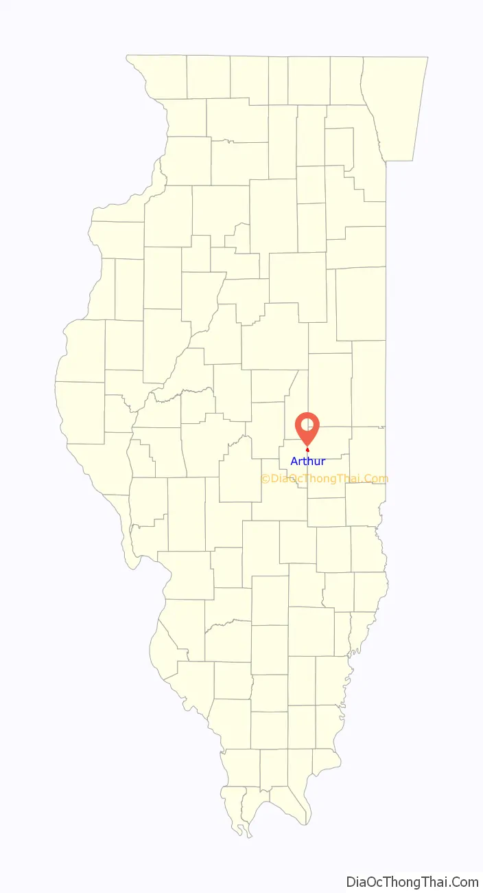
Arthur location map. Where is Arthur village?
History
In 1877, the population was approximately 300 persons. The community was incorporated as a village in April of that year.
The first village election was held on June 12, 1877, and C. G. McComb, Matt Hunsaker, W. H. Reeder, H. C. Jones, J. W. Sears, and Nick Thompson were elected trustees, and J. W. Barrum, clerk.
The original town was laid out on the farms of M. H. Warren on the Moultrie County side and the Pendleton Murphy farm on the Douglas County side. Early additions to the town included those by Murphy, Reeves, Hunsaker, Gibson, Warren, Reeder, followed by Kensington, Campbell, Boyd, Bennet, Fitzjarrald, and others.
On April 7, 1998, an F2 tornado struck 2 miles (3 km) south of Cadwell and moved northeast 4 miles (6 km) to south of Arthur. It lifted near Bourbon. Twenty homes, six barns, and other buildings were either damaged or destroyed. One mobile home was blown off its foundation. There were eight injuries.
In 2022, the community council revealed a flag for the village to celebrate its sesquicentennial. The new flag is flown in front of the welcome center and the police department. The new flag was put up upon the start of the Strawberry Festival.
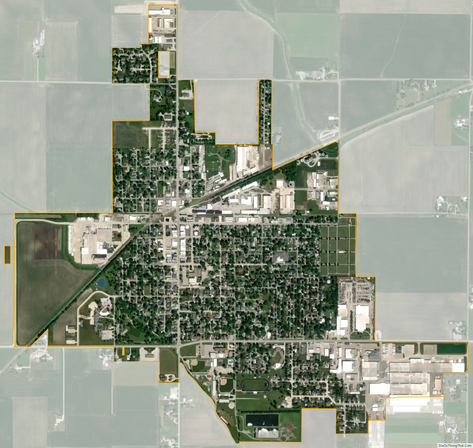
Arthur Road Map

Arthur city Satellite Map
Geography
Arthur is in southwestern Douglas County and northeastern Moultrie County, with Illinois Route 133 passing through the southern part of the village, leading east 9 miles (14 km) to Arcola and west the same distance to Lovington. Tuscola, the Douglas county seat, is 15 miles (24 km) to the northeast, while Sullivan, the Moultrie county seat, is the same distance to the southwest.
According to the U.S. Census Bureau, Arthur has a total area of 1.34 square miles (3.47 km), all land. The village is drained to the southeast by tributaries of the Kaskaskia River.
See also
Map of Illinois State and its subdivision:- Adams
- Alexander
- Bond
- Boone
- Brown
- Bureau
- Calhoun
- Carroll
- Cass
- Champaign
- Christian
- Clark
- Clay
- Clinton
- Coles
- Cook
- Crawford
- Cumberland
- De Kalb
- De Witt
- Douglas
- Dupage
- Edgar
- Edwards
- Effingham
- Fayette
- Ford
- Franklin
- Fulton
- Gallatin
- Greene
- Grundy
- Hamilton
- Hancock
- Hardin
- Henderson
- Henry
- Iroquois
- Jackson
- Jasper
- Jefferson
- Jersey
- Jo Daviess
- Johnson
- Kane
- Kankakee
- Kendall
- Knox
- La Salle
- Lake
- Lake Michigan
- Lawrence
- Lee
- Livingston
- Logan
- Macon
- Macoupin
- Madison
- Marion
- Marshall
- Mason
- Massac
- McDonough
- McHenry
- McLean
- Menard
- Mercer
- Monroe
- Montgomery
- Morgan
- Moultrie
- Ogle
- Peoria
- Perry
- Piatt
- Pike
- Pope
- Pulaski
- Putnam
- Randolph
- Richland
- Rock Island
- Saint Clair
- Saline
- Sangamon
- Schuyler
- Scott
- Shelby
- Stark
- Stephenson
- Tazewell
- Union
- Vermilion
- Wabash
- Warren
- Washington
- Wayne
- White
- Whiteside
- Will
- Williamson
- Winnebago
- Woodford
- Alabama
- Alaska
- Arizona
- Arkansas
- California
- Colorado
- Connecticut
- Delaware
- District of Columbia
- Florida
- Georgia
- Hawaii
- Idaho
- Illinois
- Indiana
- Iowa
- Kansas
- Kentucky
- Louisiana
- Maine
- Maryland
- Massachusetts
- Michigan
- Minnesota
- Mississippi
- Missouri
- Montana
- Nebraska
- Nevada
- New Hampshire
- New Jersey
- New Mexico
- New York
- North Carolina
- North Dakota
- Ohio
- Oklahoma
- Oregon
- Pennsylvania
- Rhode Island
- South Carolina
- South Dakota
- Tennessee
- Texas
- Utah
- Vermont
- Virginia
- Washington
- West Virginia
- Wisconsin
- Wyoming