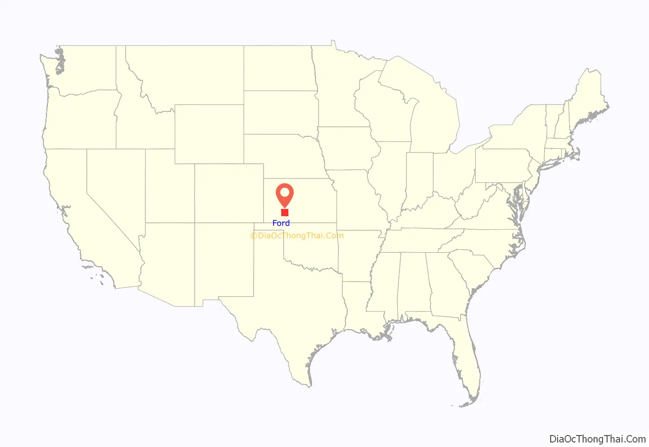
| Name: | Ford County |
|---|---|
| FIPS code: | 20-057 |
| State: | Kansas |
| Founded: | February 26, 1867 |
| Named for: | James Ford |
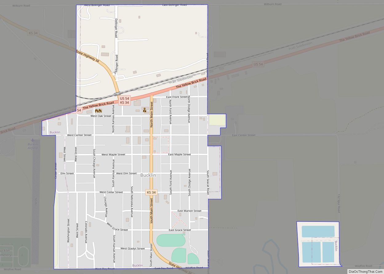
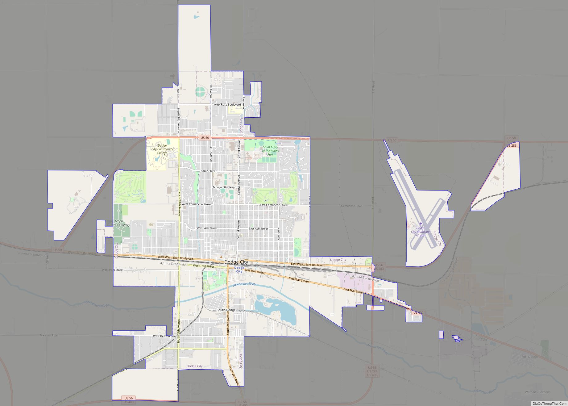
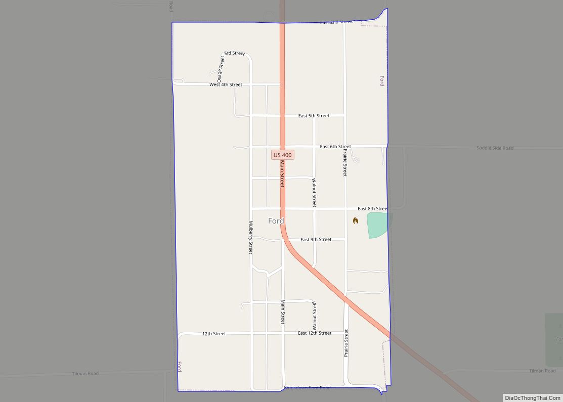
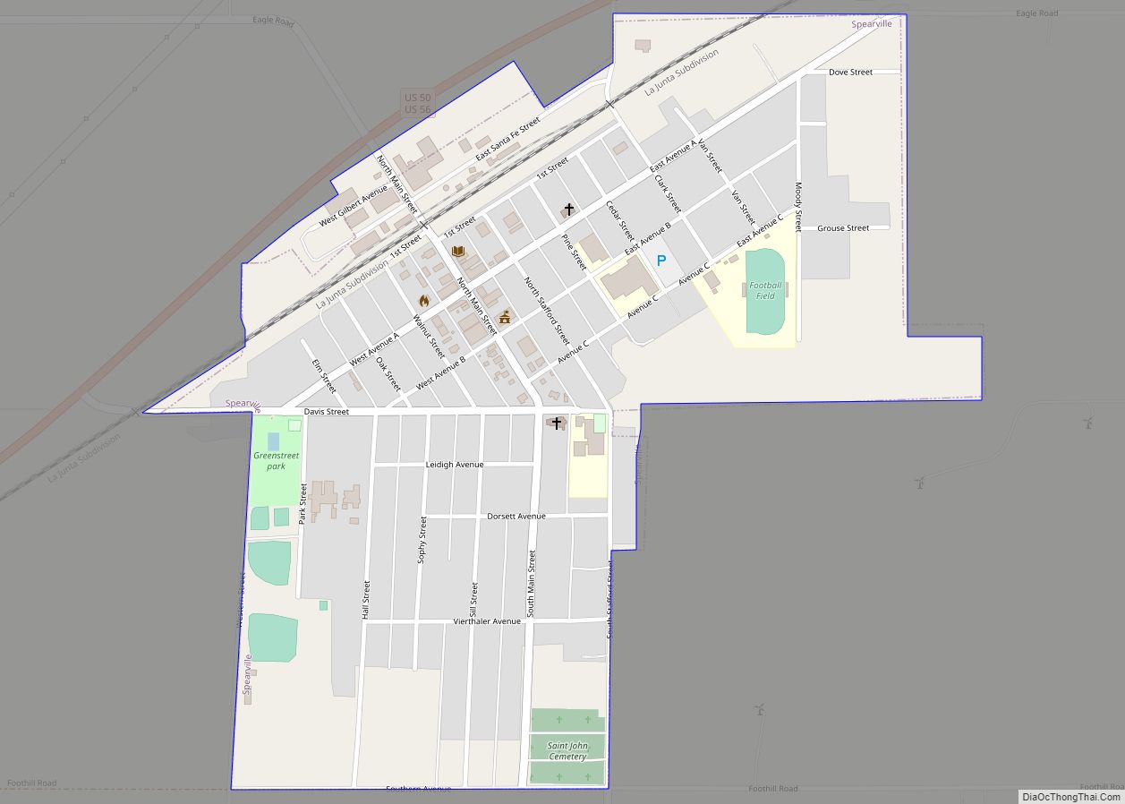
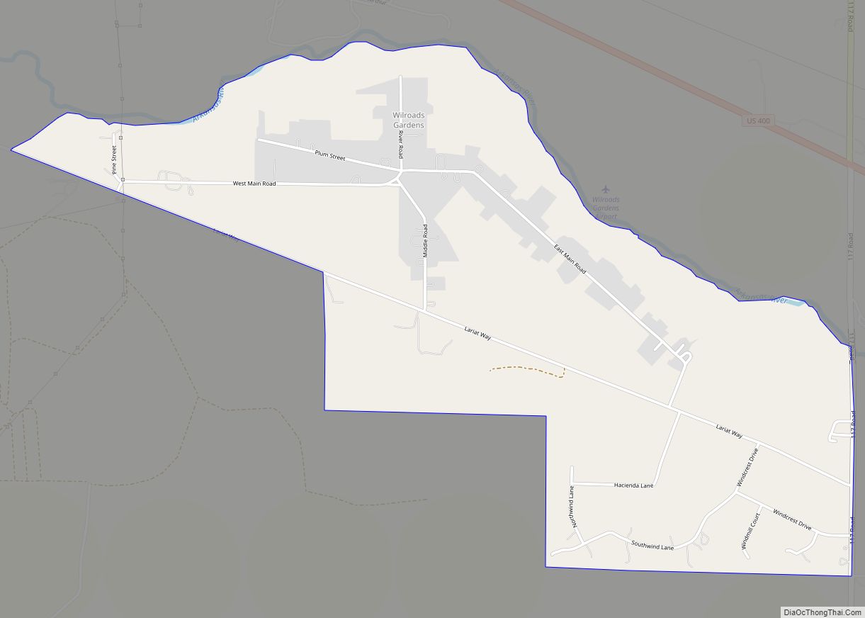
| Seat: | Dodge City |
| Largest city: | Dodge City |
| Total Area: | 1,099 sq mi (2,850 km²) |
| Land Area: | 1,098 sq mi (2,840 km²) |
| Total Population: | 34,287 |
| Population Density: | 31.2/sq mi (12.0/km²) |
| Time zone: | UTC−6 (Central) |
| Summer Time Zone (DST): | UTC−5 (CDT) |
| Website: | fordcounty.net |
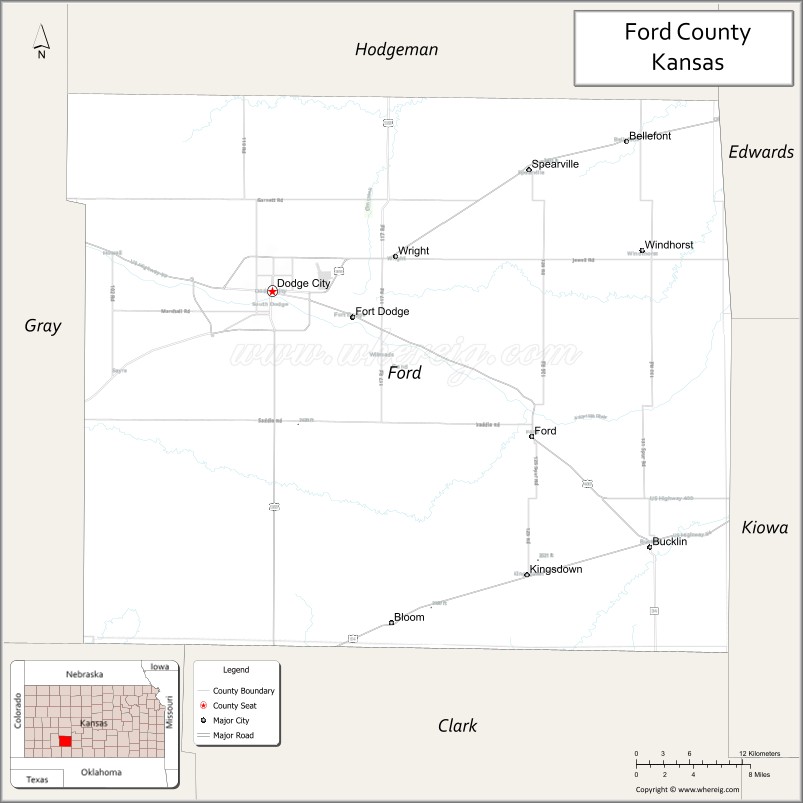
Ford County location map. Where is Ford County?
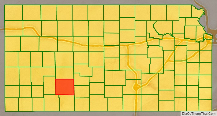
Ford County Road Map
Geography
According to the U.S. Census Bureau, the county has a total area of 1,099 square miles (2,850 km), of which 1,098 sq mi (2,840 km) are land and 0.8 square miles (2.1 km) (0.07%) is covered by water.
Adjacent counties
- Hodgeman County (north)
- Edwards County (northeast)
- Kiowa County (east)
- Clark County (south)
- Meade County (southwest)
- Gray County (west)
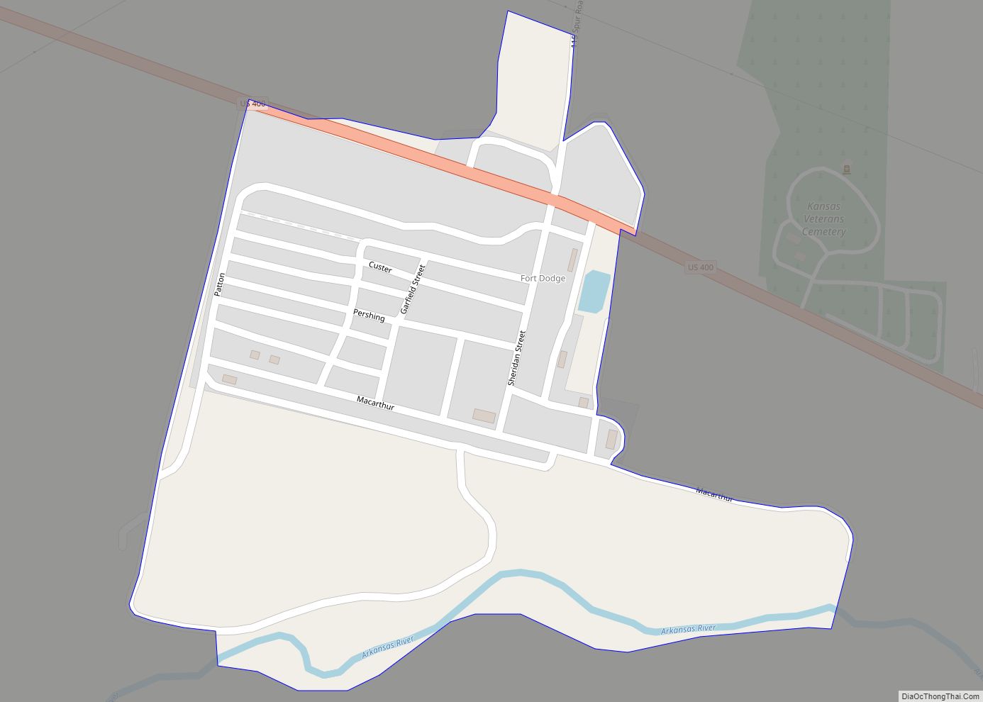
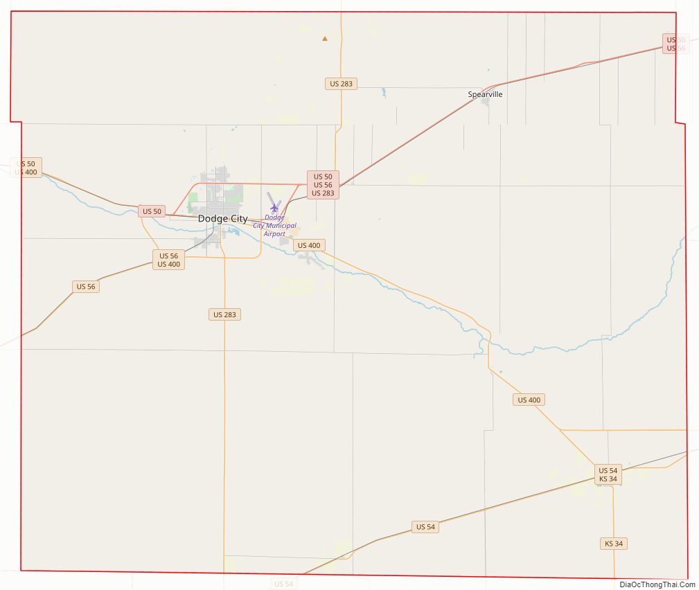
Major highways
- U.S. Route 50
- U.S. Route 54
- U.S. Route 56
- U.S. Route 283
- U.S. Route 400
- K-34
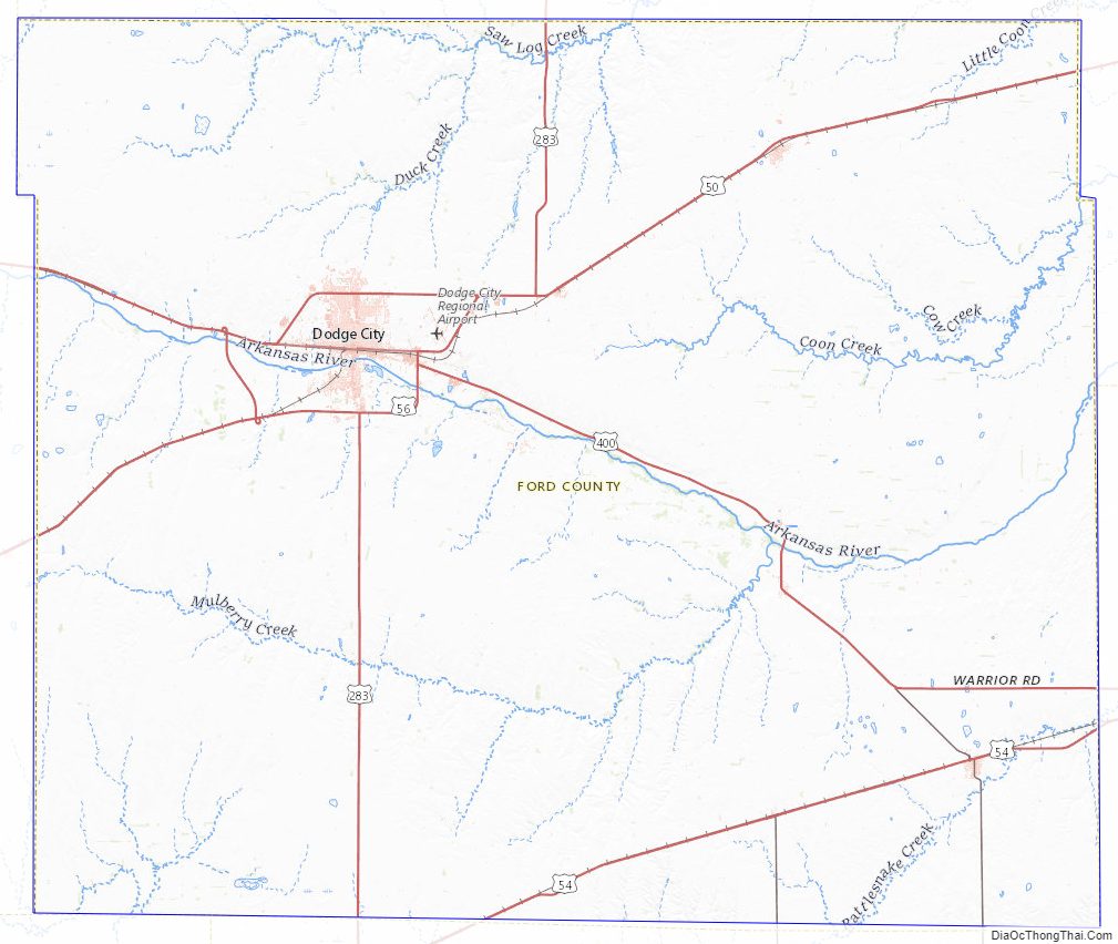
Ford County Topographic Map
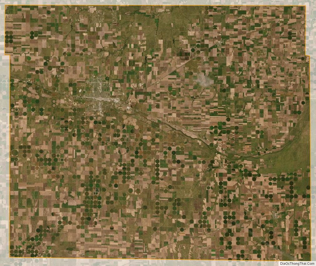
Ford County Satellite Map
Ford County Outline Map