Forest County is a county in the Commonwealth of Pennsylvania. As of the 2020 census, the population was 6,973, making it the third-least populous county in Pennsylvania. Its county seat is Tionesta. The county was created in 1848 and later organized in 1857.
| Name: | Forest County |
|---|---|
| FIPS code: | 42-053 |
| State: | Pennsylvania |
| Founded: | September 1, 1857 |
| Seat: | Tionesta |
| Total Area: | 430 sq mi (1,100 km²) |
| Land Area: | 427 sq mi (1,110 km²) |
| Total Population: | 6,973 |
| Population Density: | 16/sq mi (6/km²) |
| Time zone: | UTC−5 (Eastern) |
| Summer Time Zone (DST): | UTC−4 (EDT) |
| Website: | www.co.forest.pa.us |
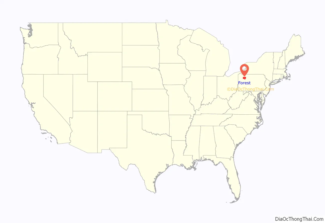
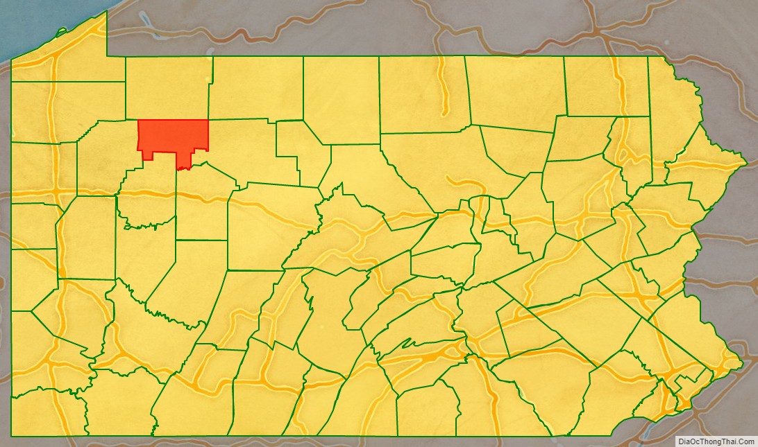
Forest County location map. Where is Forest County?
History
Forest County was created on April 11, 1848, from part of Jefferson County. The county was enlarged on October 31, 1866, when part of Venango County was incorporated into the county. Forest County was named for the forests contained within its limits.
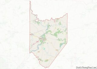
Forest County Road Map
Geography
According to the U.S. Census Bureau, the county has a total area of 430 square miles (1,100 km), of which 427 square miles (1,110 km) is land and 3.3 square miles (8.5 km) (0.8%) is water. It has a warm-summer humid continental climate (Dfb) and average monthly temperatures in Tionesta range from 25.3 °F in January to 69.8 °F in July. [1]
Adjacent counties
- Warren County (north)
- McKean County (northeast)
- Elk County (east)
- Jefferson County (south)
- Clarion County (south)
- Venango County (west)
National protected area
Part of Allegheny National Forest covers Forest County. Part of Allegheny Islands Wilderness is in Forest County.
State protected area
Part of Cook Forest State Park is in Forest County. Part of Cornplanter State Forest is in Forest County.
Major highways
- US 62
- PA 36
- PA 66
- PA 127
- PA 227
- PA 666
- PA 899
- PA 948
