Warren County is a county in the Commonwealth of Pennsylvania. As of the 2020 census, the population was 38,587. Its county seat is Warren. The county was established in 1800 from parts of Allegheny and Lycoming counties; attached to Crawford County until 1805 and then to Venango County until Warren was formally established in 1819.
Warren County makes up the Warren, Pennsylvania micropolitan statistical area.
| Name: | Warren County |
|---|---|
| FIPS code: | 42-123 |
| State: | Pennsylvania |
| Founded: | October 1, 1819 |
| Named for: | Joseph Warren |
| Seat: | Warren |
| Largest city: | Warren |
| Total Area: | 899 sq mi (2,330 km²) |
| Land Area: | 884 sq mi (2,290 km²) |
| Total Population: | 38,587 |
| Population Density: | 44/sq mi (17/km²) |
| Time zone: | UTC−5 (Eastern) |
| Summer Time Zone (DST): | UTC−4 (EDT) |
| Website: | www.warrencountypa.net |
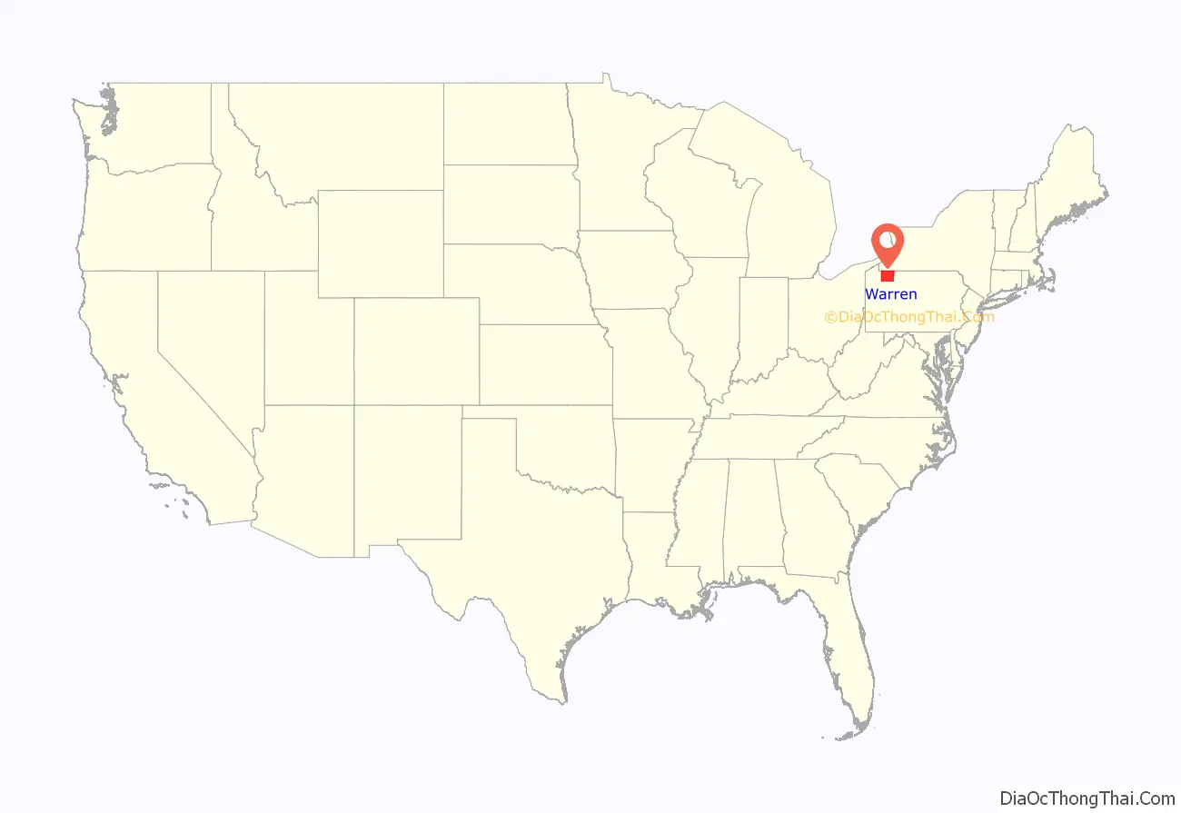
Warren County location map. Where is Warren County?
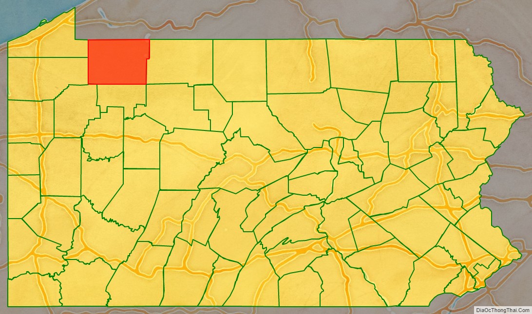
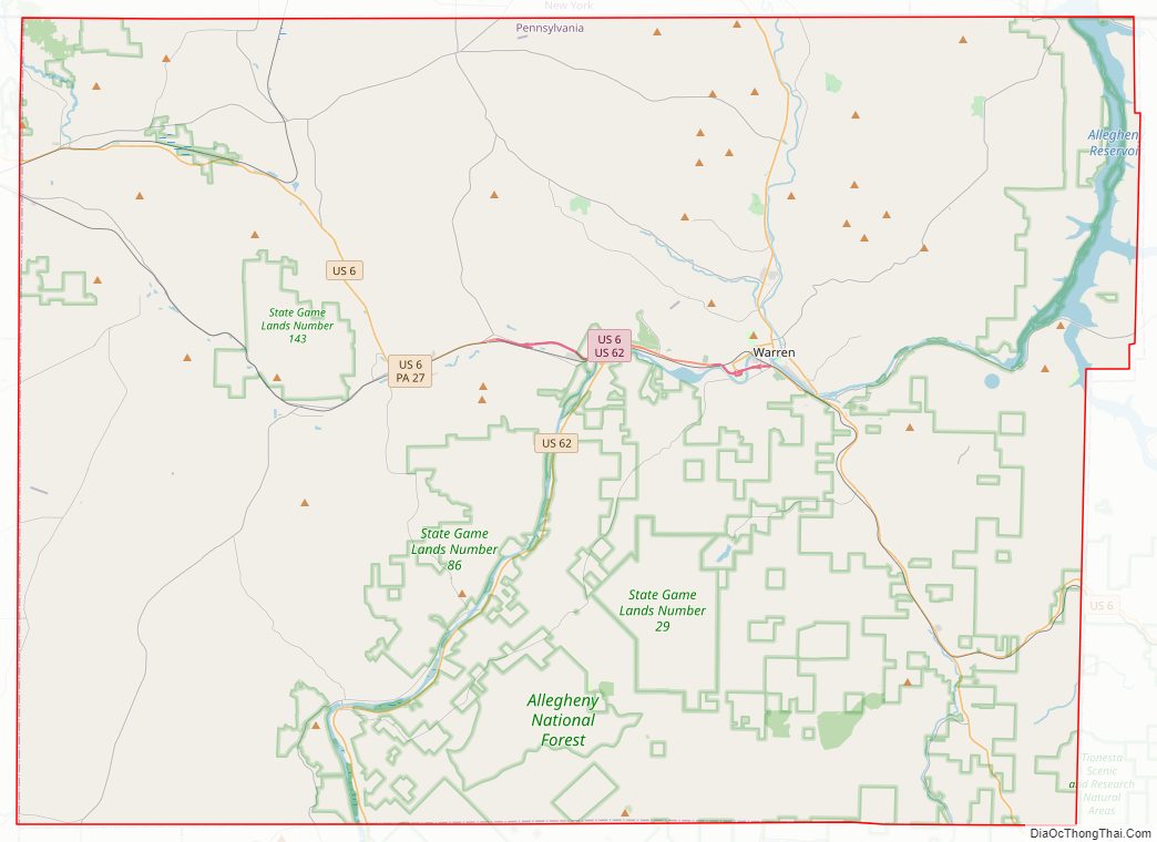
Warren County Road Map
Geography
According to the U.S. Census Bureau, the county has a total area of 899 square miles (2,330 km), of which 884 square miles (2,290 km) is land and 14 square miles (36 km) (1.6%) is water. Notable physical features include the Allegheny River, the Allegheny Reservoir, the Kinzua Dam, and the Allegheny National Forest. The county has a warm-summer humid continental climate (Dfb) and average temperatures in the city of Warren range from 24.5 °F in January to 69.3 °F in July. [1]
Climate
Adjacent counties
- Chautauqua County, New York (north)
- Cattaraugus County, New York (northeast)
- McKean County (east)
- Elk County (southeast)
- Forest County (south)
- Venango County (southwest)
- Crawford County (west)
- Erie County (west)
National protected area
- Allegheny National Forest (part)
- Allegheny National Recreation Area (part)
Major highways
- US 6
- US 62
- PA 27
- PA 59
- PA 69
- PA 127
- PA 200
- PA 346
- PA 426
- PA 666
- PA 948
- PA 957
- PA 958
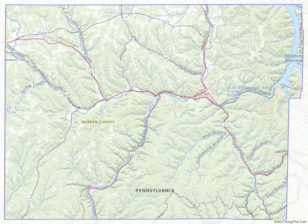
Warren County Topographic Map
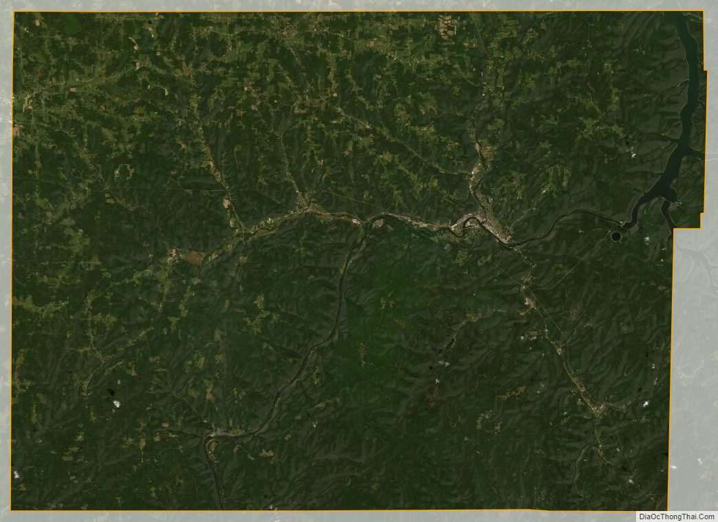
Warren County Satellite Map
Warren County Outline Map