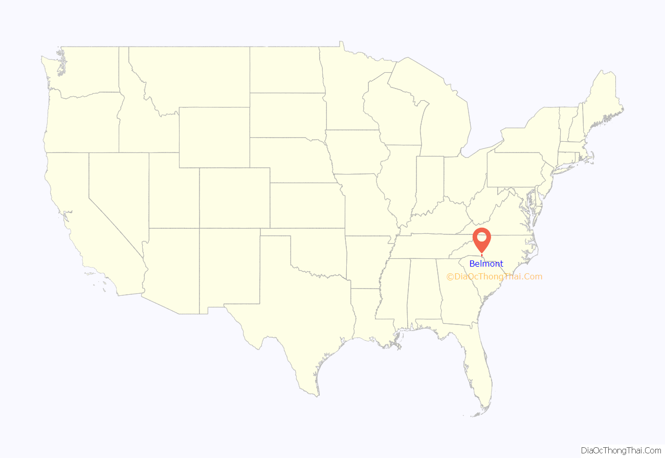
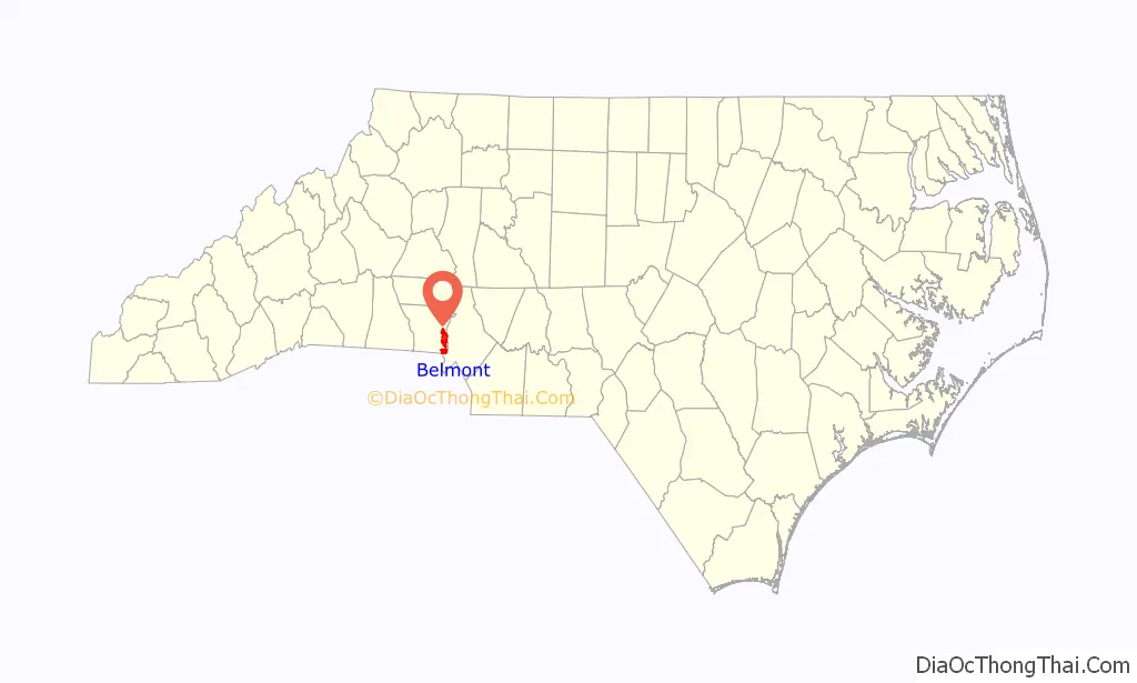
Belmont is a small suburban city in Gaston County, North Carolina, United States, located about 13 miles (21 km) west of uptown Charlotte and 9 miles (14 km) east of Gastonia. The population was 10,076 at the 2010 census. Once known as Garibaldi Station, it was named for the New York banker August Belmont. Belmont is home to Belmont Abbey College.
| Name: | Belmont city |
|---|---|
| LSAD Code: | 25 |
| LSAD Description: | city (suffix) |
| State: | North Carolina |
| County: | Gaston County |
| Incorporated: | 1895 |
| Elevation: | 702 ft (214 m) |
| Total Area: | 12.22 sq mi (31.66 km²) |
| Land Area: | 12.20 sq mi (31.58 km²) |
| Water Area: | 0.03 sq mi (0.08 km²) 1.74%% |
| Total Population: | 15,010 |
| Population Density: | 1,230.83/sq mi (475.23/km²) |
| ZIP code: | 28012 |
| Area code: | 704 |
| FIPS code: | 3704840 |
| GNISfeature ID: | 0980966 |
| Website: | www.cityofbelmont.org |
Online Interactive Map
Click on ![]() to view map in "full screen" mode.
to view map in "full screen" mode.
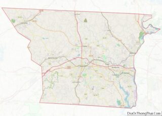
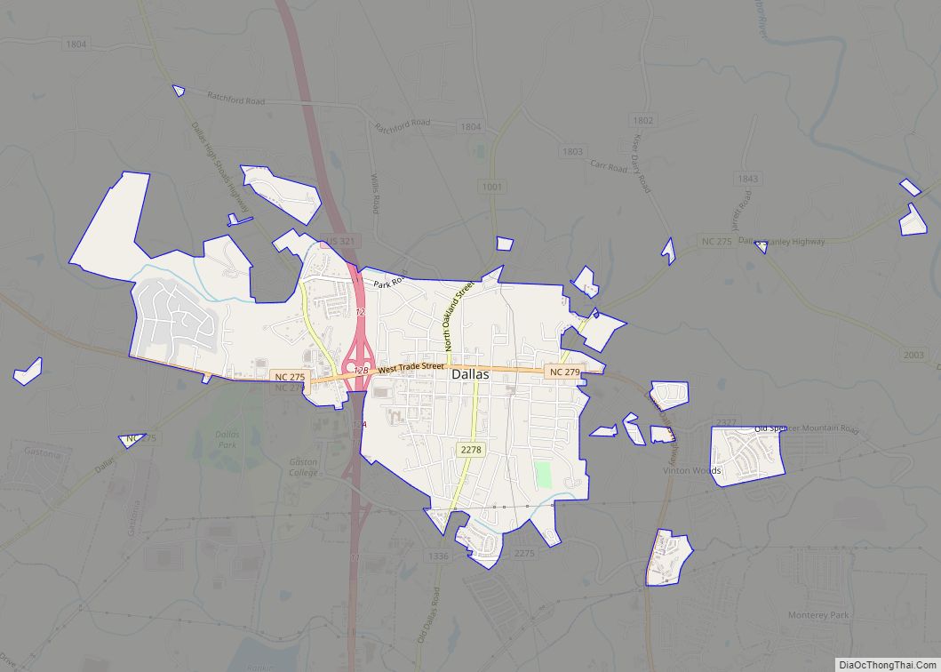
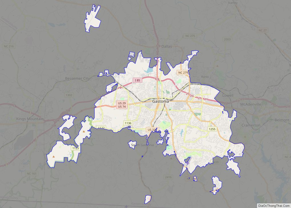
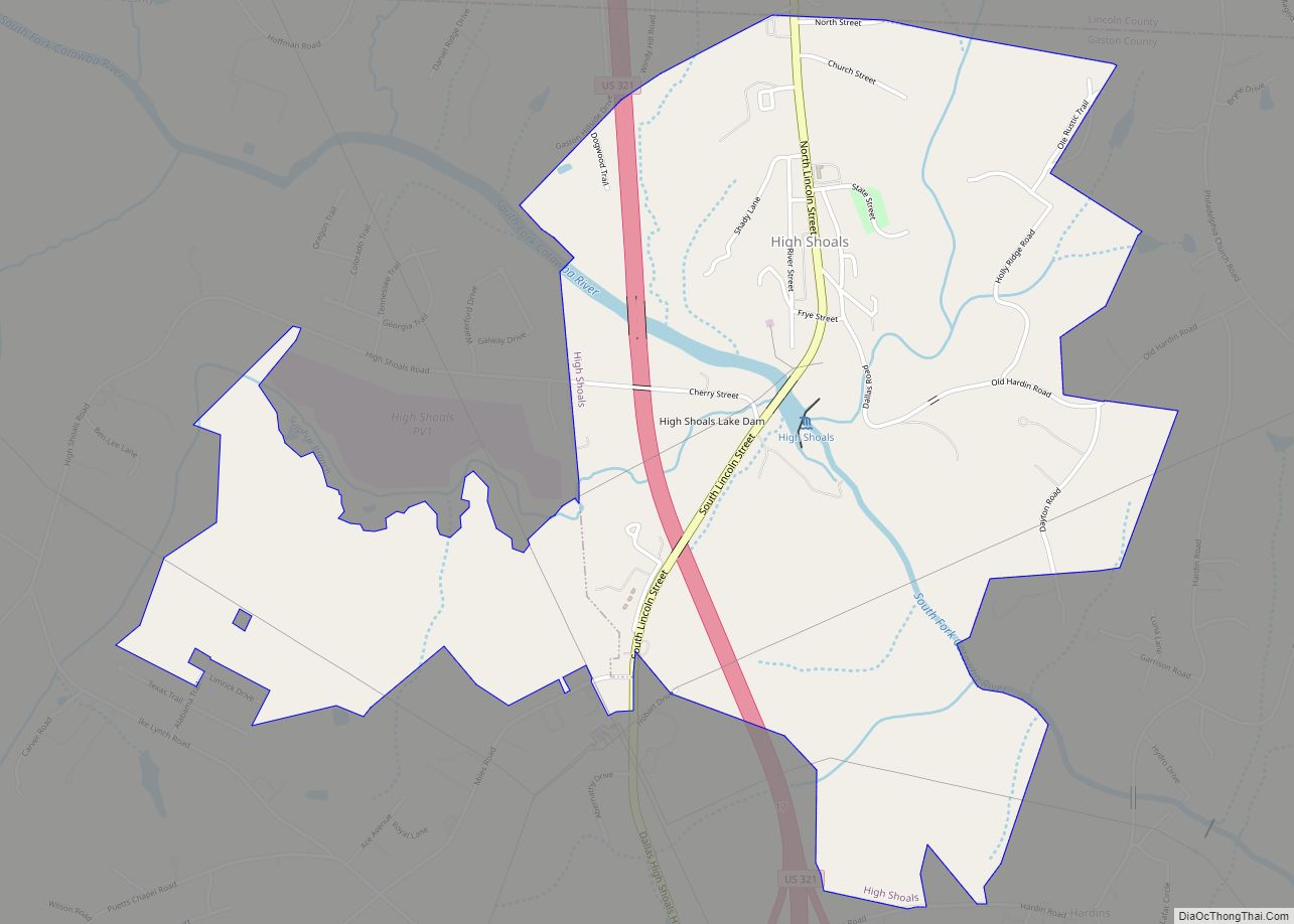
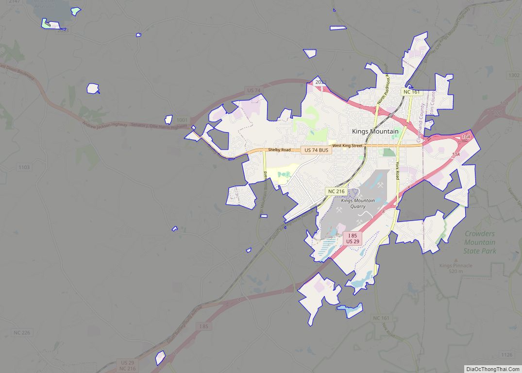
Belmont location map. Where is Belmont city?
History
Settlement in the Belmont area began around the colonial-era Fort at the Point, built in the 1750s by Dutch settler James Kuykendall, Robert Leeper, and two others near the junction of the South Fork and the Catawba River. The fort was built because of ongoing hostilities with the Cherokee, but it was apparently never attacked. A photograph of the location of Fort: Location Image
The South Point Community, located about 2+1⁄2 miles south of present-day downtown Belmont, was the site of Stowesville Mill. Founded by Jasper Stowe and Associates in 1853, it was one of the first three cotton mills in operation in Gaston County.
Abram Stowe (1842–1897) returned to the area after serving in the Civil War. He built a Greek Revival home (still the oldest known structure in Belmont) and opened a small mercantile store. He later became postmaster and town depot agent for the new Atlanta and Richmond Air-Line Railway, which was constructed in 1871. Additional stores were soon built near the community’s railroad stop, Garibaldi Station. The station was named for John Garibaldi, who had supervised construction of a water tank near the new railroad. Existing settlers in the South Point community moved north to be closer to the railroad.
In 1872, Father Jeremiah O’Connell, a Roman Catholic missionary priest, purchased a 500-acre (2.0 km) tract known as the Caldwell farm, less than one mile (1.6 km) north of Garibaldi Station. The land was then donated to the Benedictine monks of Saint Vincent’s Archabbey in Latrobe, Pennsylvania, for the establishment of a religious community and school. Belmont Abbey, officially named “Mary Help of Christians Abbey”, was founded in 1876 by Bishop Leo Haid, and still functions today. The abbey operates Belmont Abbey College, a liberal arts college.
In 1883, the name of Garibaldi Station was formally changed to Belmont. It was named for the New York banker August Belmont. In 1895, by an act of the North Carolina General Assembly, an area within a 1/4 mile radius from the intersection of Main Street and the railroad was incorporated as the Town of Belmont.
Belmont was still a small town at the turn of the century, with a population of only 145. The organization of Chronicle Mills in 1901 marked the beginning of Belmont’s development as a textile center. It was founded by Robert Lee Stowe Sr. (1866–1963), his brother Samuel Pinckney Stowe (1868–1956), and Abel Caleb Lineberger (1859–1948, son of Caleb John Lineberger, who had founded Gaston County’s first textile mill, the Woodlawn, or “Pinhook”, Mill in Lowell, North Carolina in 1848). Chronicle was the first of the nearly twenty mills built in Belmont through 1930, expanding the town population to 3,793.
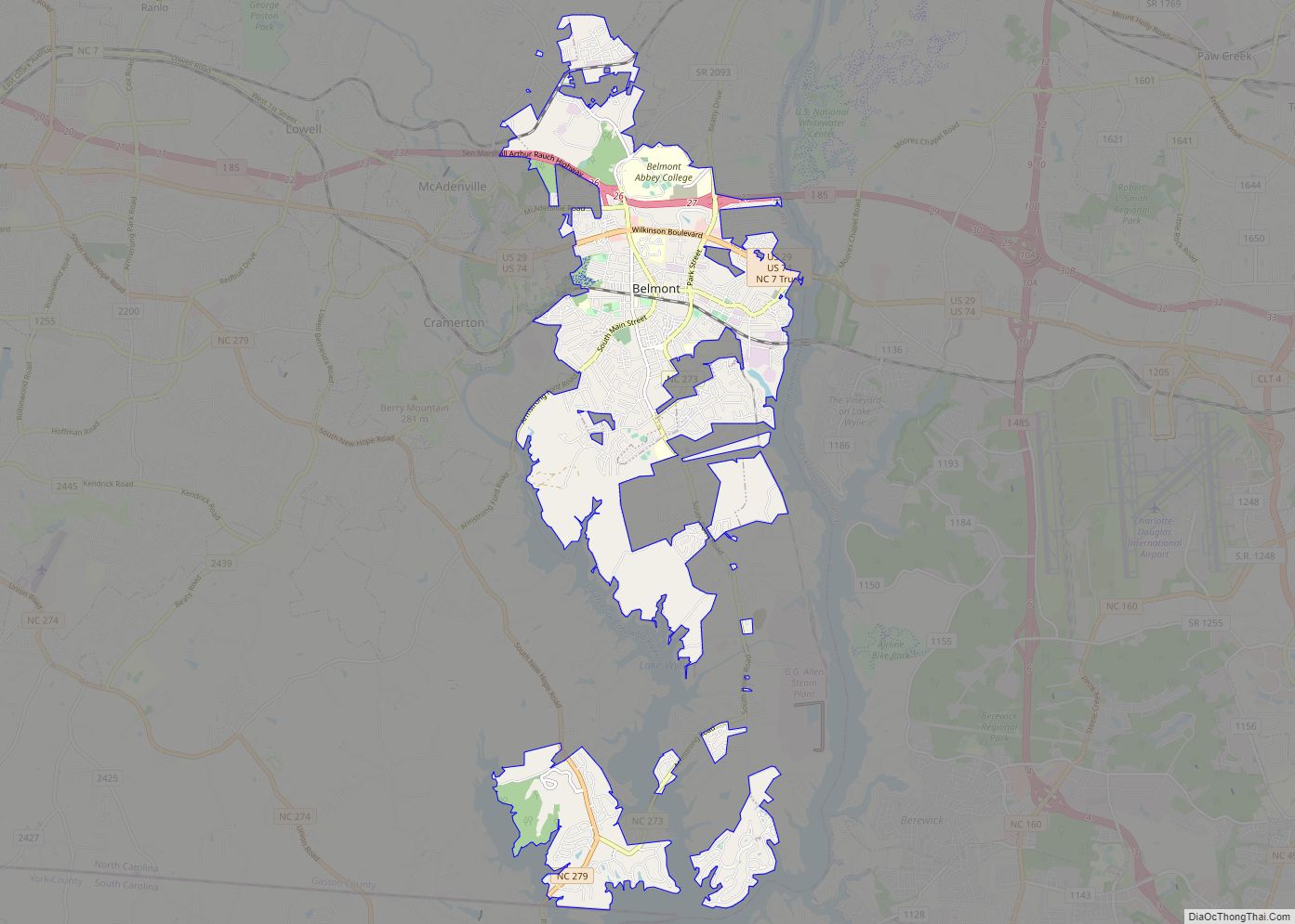
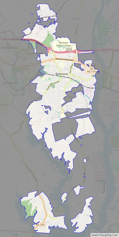
Belmont Road Map
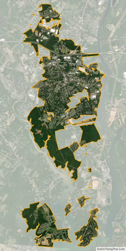
Belmont city Satellite Map
Geography
Nestled in the southern Piedmont region of North Carolina, the town of Belmont is flanked by two rivers, the Catawba River and its right tributary, the South Fork Catawba River. Adjacent to Belmont, the rivers make up two arms of Lake Wylie and form a peninsula on which the city is situated.
Areas to the west of the center of town are part of the South Fork Catawba watershed. Eastern parts of Belmont north of the Norfolk Southern Railway belong to the Catawba Heights watershed, while those to the south are in the Paw Creek watershed. Areas of unincorporated South Point Township south of Belmont belong to the Neal Branch-Beaverdam Creek watershed.
Belmont is located 12 miles (19 km) west of Charlotte and 10 miles (16 km) east of Gastonia. According to the United States Census Bureau, the city has a total area of 10.1 square miles (26.2 km), of which 9.9 square miles (25.7 km) is land and 0.19 square miles (0.5 km), or 1.74%, is water.
See also
Map of North Carolina State and its subdivision:- Alamance
- Alexander
- Alleghany
- Anson
- Ashe
- Avery
- Beaufort
- Bertie
- Bladen
- Brunswick
- Buncombe
- Burke
- Cabarrus
- Caldwell
- Camden
- Carteret
- Caswell
- Catawba
- Chatham
- Cherokee
- Chowan
- Clay
- Cleveland
- Columbus
- Craven
- Cumberland
- Currituck
- Dare
- Davidson
- Davie
- Duplin
- Durham
- Edgecombe
- Forsyth
- Franklin
- Gaston
- Gates
- Graham
- Granville
- Greene
- Guilford
- Halifax
- Harnett
- Haywood
- Henderson
- Hertford
- Hoke
- Hyde
- Iredell
- Jackson
- Johnston
- Jones
- Lee
- Lenoir
- Lincoln
- Macon
- Madison
- Martin
- McDowell
- Mecklenburg
- Mitchell
- Montgomery
- Moore
- Nash
- New Hanover
- Northampton
- Onslow
- Orange
- Pamlico
- Pasquotank
- Pender
- Perquimans
- Person
- Pitt
- Polk
- Randolph
- Richmond
- Robeson
- Rockingham
- Rowan
- Rutherford
- Sampson
- Scotland
- Stanly
- Stokes
- Surry
- Swain
- Transylvania
- Tyrrell
- Union
- Vance
- Wake
- Warren
- Washington
- Watauga
- Wayne
- Wilkes
- Wilson
- Yadkin
- Yancey
- Alabama
- Alaska
- Arizona
- Arkansas
- California
- Colorado
- Connecticut
- Delaware
- District of Columbia
- Florida
- Georgia
- Hawaii
- Idaho
- Illinois
- Indiana
- Iowa
- Kansas
- Kentucky
- Louisiana
- Maine
- Maryland
- Massachusetts
- Michigan
- Minnesota
- Mississippi
- Missouri
- Montana
- Nebraska
- Nevada
- New Hampshire
- New Jersey
- New Mexico
- New York
- North Carolina
- North Dakota
- Ohio
- Oklahoma
- Oregon
- Pennsylvania
- Rhode Island
- South Carolina
- South Dakota
- Tennessee
- Texas
- Utah
- Vermont
- Virginia
- Washington
- West Virginia
- Wisconsin
- Wyoming