McAdenville is a small town in Gaston County, North Carolina, United States. It is a suburb of Charlotte and located east of Gastonia. The population was 890 at the 2020 census.
| Name: | McAdenville town |
|---|---|
| LSAD Code: | 43 |
| LSAD Description: | town (suffix) |
| State: | North Carolina |
| County: | Gaston County |
| Elevation: | 571 ft (174 m) |
| Total Area: | 1.42 sq mi (3.67 km²) |
| Land Area: | 1.36 sq mi (3.51 km²) |
| Water Area: | 0.06 sq mi (0.16 km²) |
| Total Population: | 890 |
| Population Density: | 656.34/sq mi (253.46/km²) |
| ZIP code: | 28101 |
| Area code: | 704 |
| FIPS code: | 3739880 |
| GNISfeature ID: | 1021377 |
| Website: | www.mcadenville-christmastown.com |
Online Interactive Map
Click on ![]() to view map in "full screen" mode.
to view map in "full screen" mode.
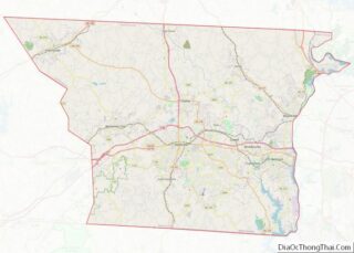
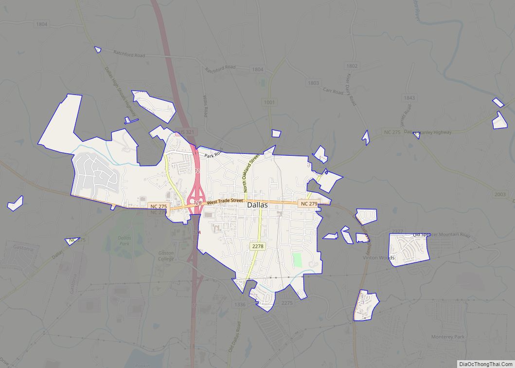
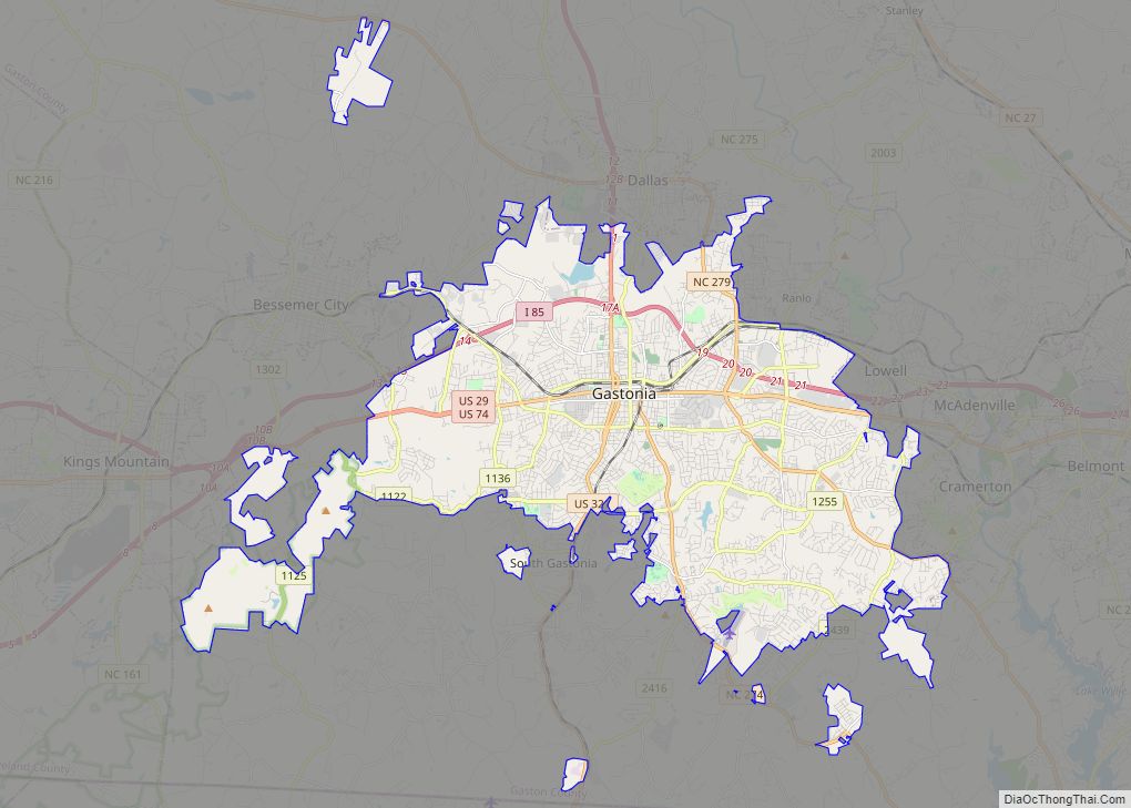
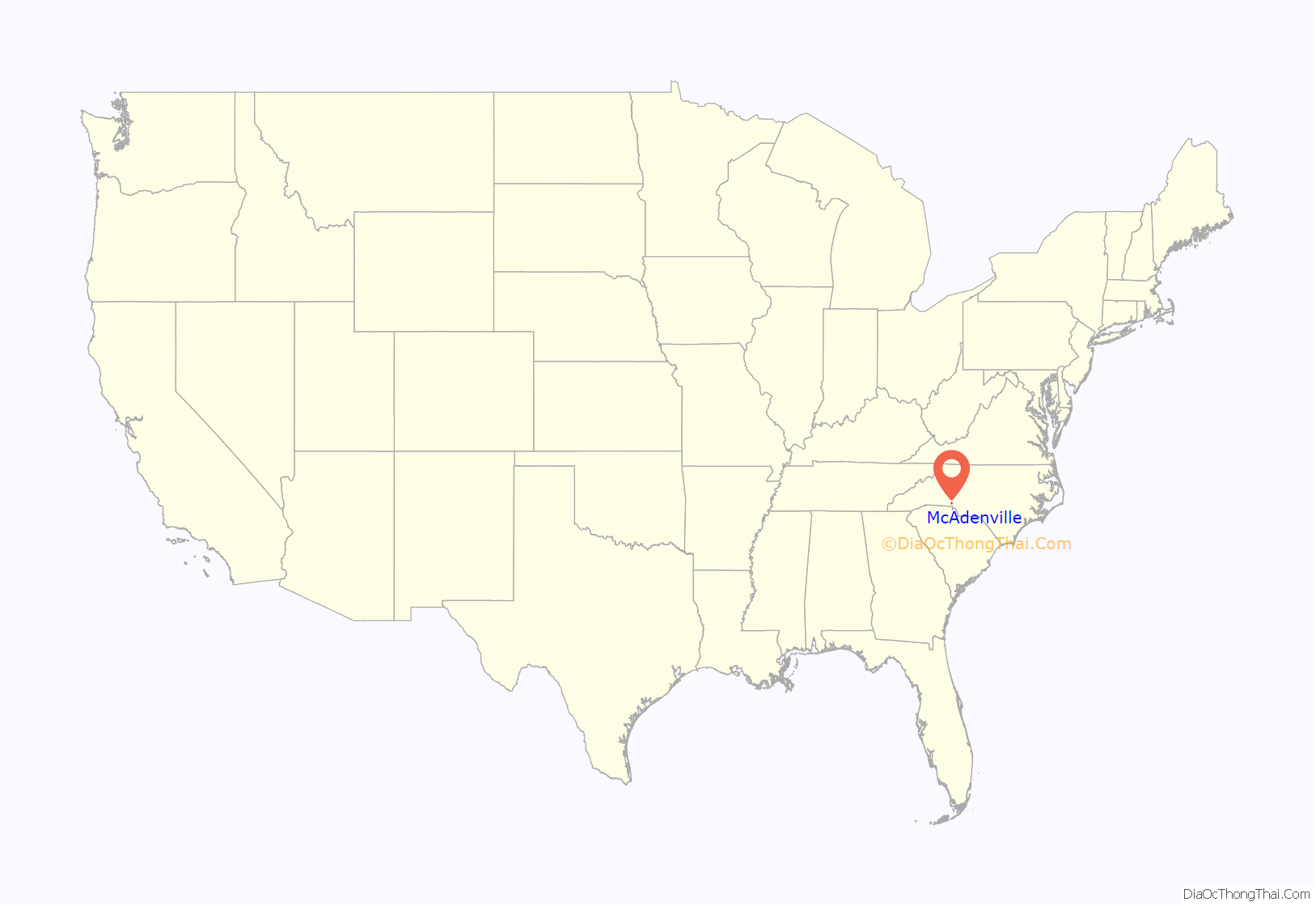
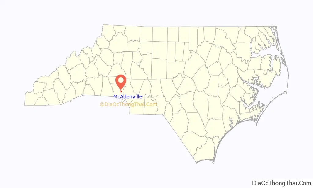
McAdenville location map. Where is McAdenville town?
History
McAdenville was incorporated in 1881. It was named after Rufus Yancey McAden, president of McAden Mills, the town’s textile mill. McAden had served in the North Carolina House of Commons from 1862 to 1867, and was Speaker of the House in 1866. He came to Charlotte in 1867 to become president of the two-year-old First National Bank. Pharr Yarns, a yarn manufacturing company, was founded in McAdenville in 1939. It grew to become a major employer and sponsored various projects in the town during its existence. It was sold in 2019.
A Christmas tradition in the town for many years has been the decorating of the entire town in Christmas lights. The event is called Christmas Town USA. The Christmas Town USA contains 375 lit trees and over 200 wreaths attached to city light poles. The lights attract visitors from all over the country and is one of the biggest light shows in the US. Begun in 1956 with the assistance of Pharr Yarns, many trees and buildings in the town are covered in Christmas lights and some form of decoration. More than 600,000 vehicles visit each year.
The McAdenville Historic District was listed on the National Register of Historic Places in 2009.
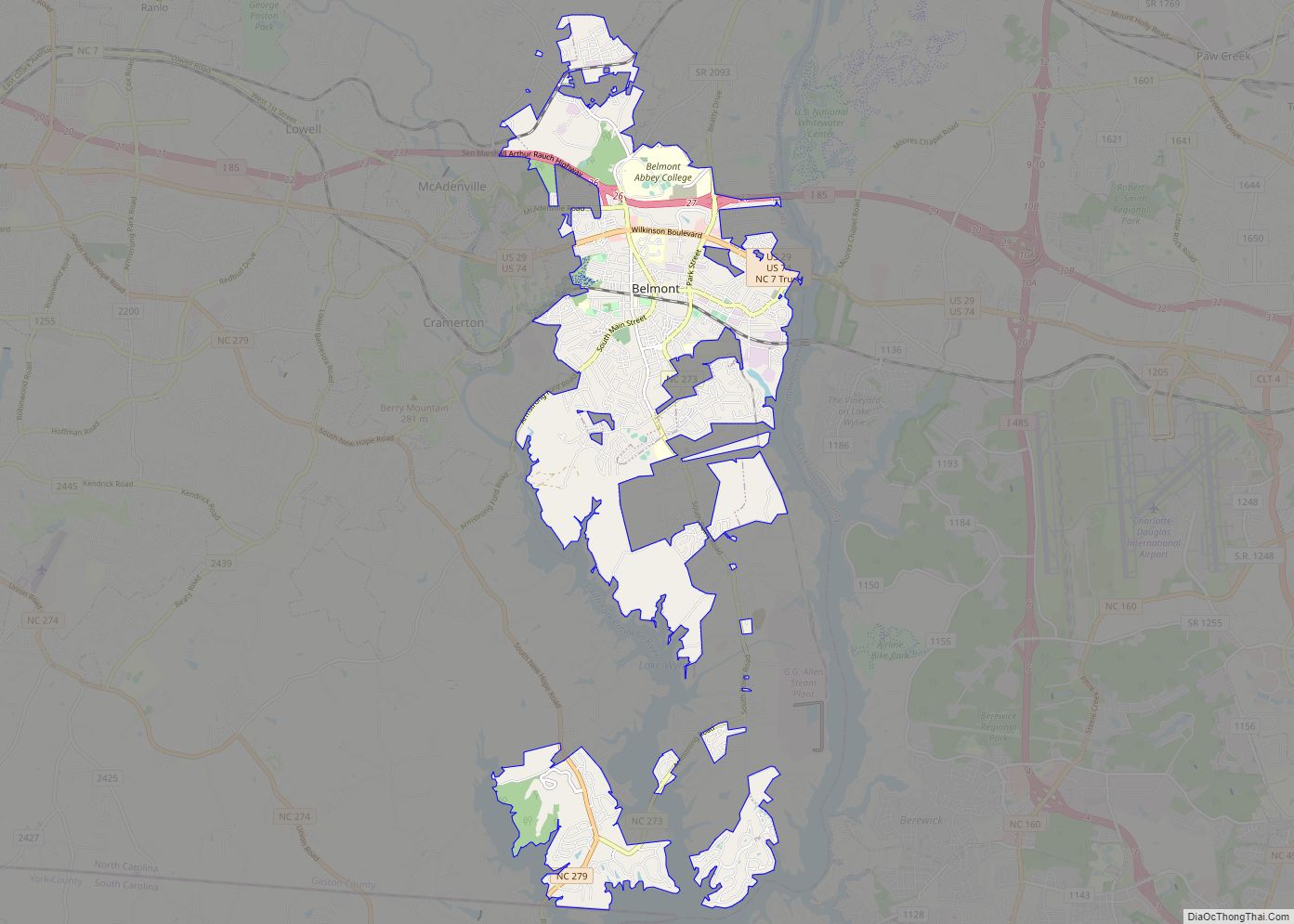
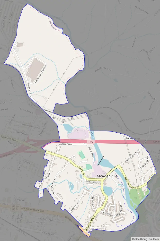
McAdenville Road Map
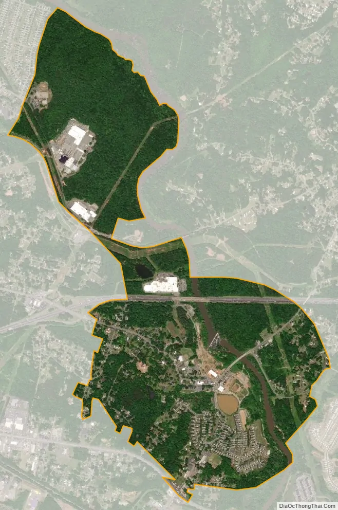
McAdenville city Satellite Map
Geography
McAdenville is located on the South Fork Catawba River at 35°15′50″N 81°4′45″W / 35.26389°N 81.07917°W / 35.26389; -81.07917 (35.263893, -81.079282). McAdenville Lake is formed by a dam on the South Fork in central McAdenville.
According to the United States Census Bureau, the town has a total area of 1.5 square miles (3.8 km), of which 1.4 square miles (3.6 km) is land and 0.077 square miles (0.2 km), or 4.33%, is water. The town lies in the Cramerton Watershed.
The McAdenville Historic District was listed on the National Register of Historic Places in 2009.
See also
Map of North Carolina State and its subdivision:- Alamance
- Alexander
- Alleghany
- Anson
- Ashe
- Avery
- Beaufort
- Bertie
- Bladen
- Brunswick
- Buncombe
- Burke
- Cabarrus
- Caldwell
- Camden
- Carteret
- Caswell
- Catawba
- Chatham
- Cherokee
- Chowan
- Clay
- Cleveland
- Columbus
- Craven
- Cumberland
- Currituck
- Dare
- Davidson
- Davie
- Duplin
- Durham
- Edgecombe
- Forsyth
- Franklin
- Gaston
- Gates
- Graham
- Granville
- Greene
- Guilford
- Halifax
- Harnett
- Haywood
- Henderson
- Hertford
- Hoke
- Hyde
- Iredell
- Jackson
- Johnston
- Jones
- Lee
- Lenoir
- Lincoln
- Macon
- Madison
- Martin
- McDowell
- Mecklenburg
- Mitchell
- Montgomery
- Moore
- Nash
- New Hanover
- Northampton
- Onslow
- Orange
- Pamlico
- Pasquotank
- Pender
- Perquimans
- Person
- Pitt
- Polk
- Randolph
- Richmond
- Robeson
- Rockingham
- Rowan
- Rutherford
- Sampson
- Scotland
- Stanly
- Stokes
- Surry
- Swain
- Transylvania
- Tyrrell
- Union
- Vance
- Wake
- Warren
- Washington
- Watauga
- Wayne
- Wilkes
- Wilson
- Yadkin
- Yancey
- Alabama
- Alaska
- Arizona
- Arkansas
- California
- Colorado
- Connecticut
- Delaware
- District of Columbia
- Florida
- Georgia
- Hawaii
- Idaho
- Illinois
- Indiana
- Iowa
- Kansas
- Kentucky
- Louisiana
- Maine
- Maryland
- Massachusetts
- Michigan
- Minnesota
- Mississippi
- Missouri
- Montana
- Nebraska
- Nevada
- New Hampshire
- New Jersey
- New Mexico
- New York
- North Carolina
- North Dakota
- Ohio
- Oklahoma
- Oregon
- Pennsylvania
- Rhode Island
- South Carolina
- South Dakota
- Tennessee
- Texas
- Utah
- Vermont
- Virginia
- Washington
- West Virginia
- Wisconsin
- Wyoming