Lawrence County is a county located in the U.S. state of Tennessee. As of the 2020 census, the population was 44,159. Its county seat and largest city is Lawrenceburg. Lawrence County comprises the Lawrenceburg, TN Micropolitan Statistical Area, which is also included in the Nashville-Davidson-Murfreesboro, TN Combined Statistical Area.
| Name: | Lawrence County |
|---|---|
| FIPS code: | 47-099 |
| State: | Tennessee |
| Founded: | 1817 |
| Named for: | James Lawrence |
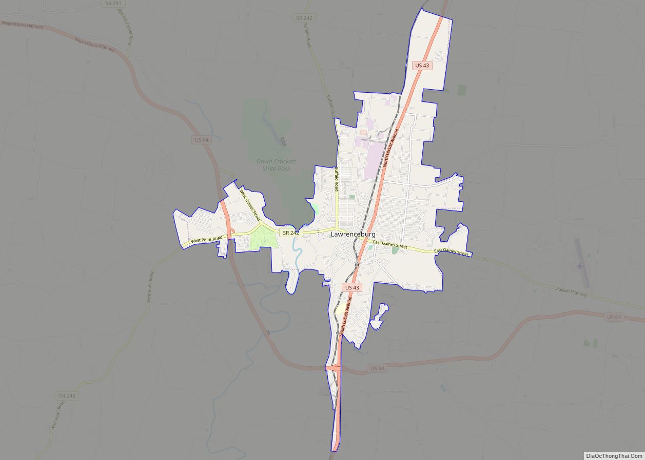
| Seat: | Lawrenceburg |
| Largest city: | Lawrenceburg |
| Total Area: | 618 sq mi (1,600 km²) |
| Land Area: | 617 sq mi (1,600 km²) |
| Total Population: | 44,159 |
| Population Density: | 71/sq mi (28/km²) |
| Time zone: | UTC−6 (Central) |
| Summer Time Zone (DST): | UTC−5 (CDT) |
| Website: | www.lawrencecountytn.gov |
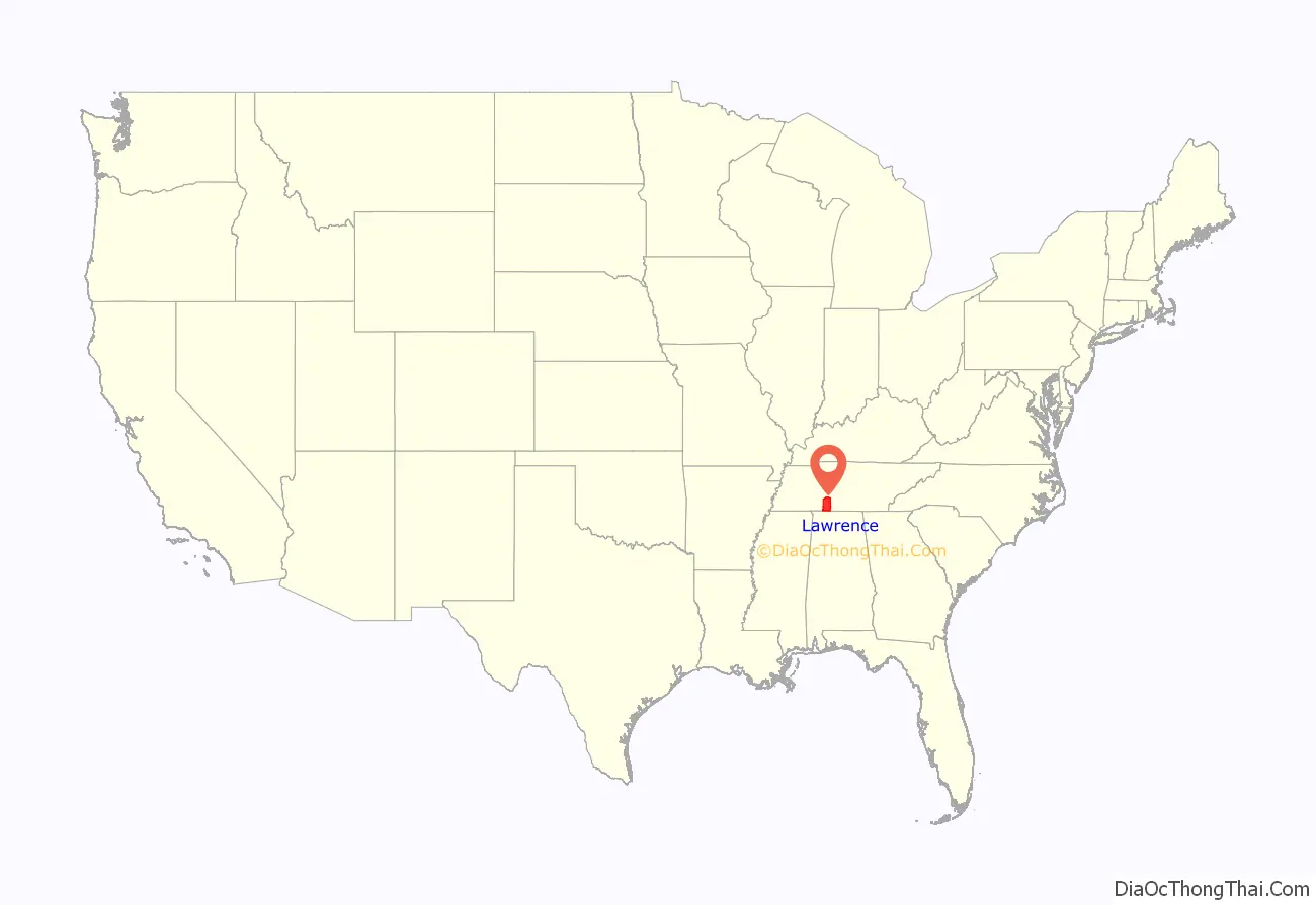
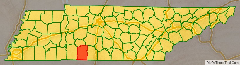
Lawrence County location map. Where is Lawrence County?
History
Created by an act of the Tennessee General Assembly on October 21, 1817, Lawrence County was formed from lands previously part of Hickman and Giles counties.
It was named in honor of Captain James Lawrence (1781–1813), who while commanding the USS Chesapeake in an 1813 battle with the Royal Navy frigate HMS Shannon, issued his famous command: “Don’t give up the ship! Blow her up.” His men did anyway and Lawrence died of wounds.
Lawrenceburg was chosen as the county seat in 1819 as it was near the center of the county and because Jackson’s Military Road ran just east of the town. In April 1821, the road was redirected through the center of the Lawrenceburg. The military road, the main route from New Orleans, Louisiana, to Nashville, Tennessee, played a significant role in the county’s development.
An early resident was David Crockett, who served as one of the county’s first commissioners and justices of the peace. Crockett lived in the county for several years and ran a water-powered grist mill, powder mill and distillery on Shoal Creek, (originally called the Sycamore River) where David Crockett State Park is now located.
In the early 1870s, many German Catholics moved into the area, including skilled tradesmen. After the arrival of the railroad in 1883, the county became a major source of iron ore.
Between 1908 and 1915, there was an influx of settlers from Alabama. Most were cotton growers or worked in the timber industry. Logging soon declined, since the forests were not replanted after trees were harvested; however, cotton continued to be a major crop until the 1960s.
In 1944, Amish people moved to the area and established a community in the north of the county. The Old Order Amish community has now become a tourist attraction.
The county has been struck by two killer tornadoes. On May 18, 1995 a F4 tornado struck the county. On April 16, 1998, an F5 tornado hit the county, part of the 1998 Nashville tornado outbreak.
In June 2010, the Tennessee Commission of Indian Affairs gave official recognition to six Native American groups, including the Central Band of Cherokee, also known as the Cherokee of Lawrence County. The recognition of these tribes at a state level has stirred much controversy among federally recognized Indian tribes, who claim the recognition by a state is unconstitutional and threatens the status of existing tribes.
In July 2017, the Hope Botanical Garden was formed in the Leoma community.
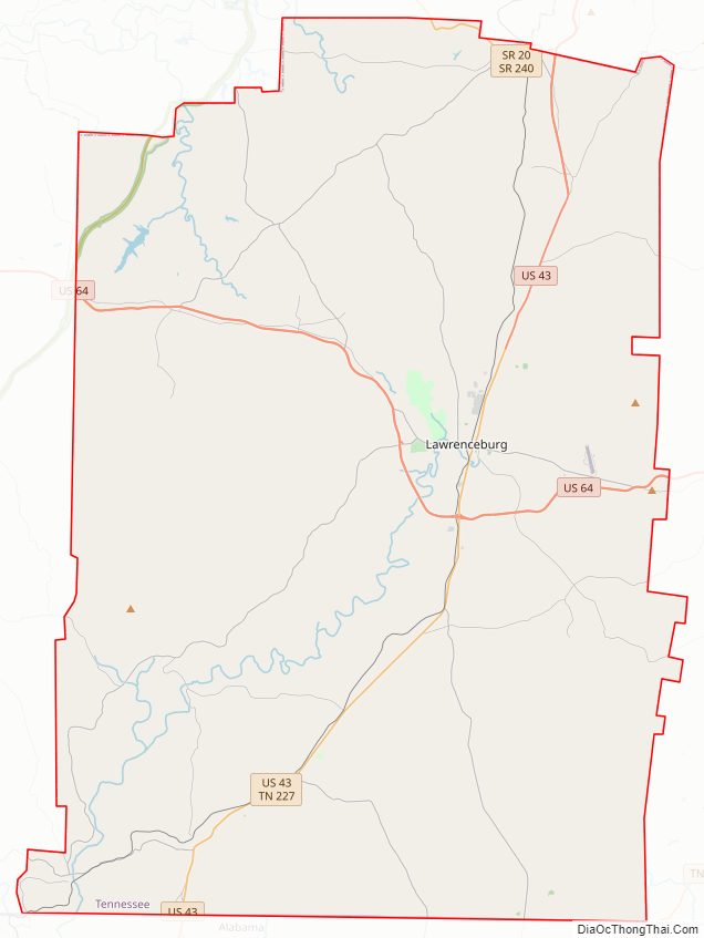
Lawrence County Road Map
Geography
According to the U.S. Census Bureau, the county has a total area of 618 square miles (1,600 km), of which 617 square miles (1,600 km) is land and 0.9 square miles (2.3 km) (0.1%) is water.
Major highways
- U.S. Route 43
- U.S. Route 64
- Tennessee State Route 20
- Tennessee State Route 98
- Tennessee State Route 227
- Tennessee State Route 240
- Tennessee State Route 241
- Tennessee State Route 242
- Natchez Trace Parkway
Rail
- Tennessee Southern Railroad
Air
- Lawrenceburg-Lawrence County Airport
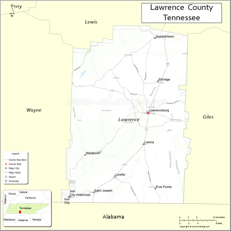
Adjacent counties
- Lewis County (north)
- Maury County (northeast)
- Giles County (east)
- Lauderdale County, Alabama (south)
- Wayne County (west)
National protected area
- Natchez Trace Parkway (part)
State protected areas
- David Crockett State Park
- Laurel Hill Wildlife Management Area
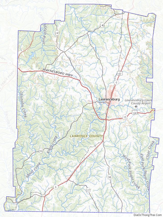
Lawrence County Topographic Map
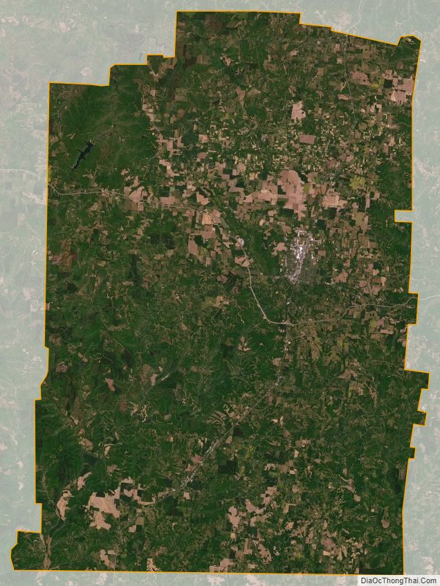
Lawrence County Satellite Map
Lawrence County Outline Map