Graham County (county code GH) is a county located in the U.S. state of Kansas. As of the 2020 census, the county population was 2,415. Its county seat and most populous city is Hill City. The county is home to Nicodemus, founded 1877, which is the only remaining western town established by African Americans during the Reconstruction Period following the American Civil War.
| Name: | Graham County |
|---|---|
| FIPS code: | 20-065 |
| State: | Kansas |
| Founded: | February 26, 1887 |
| Named for: | John L. Graham |
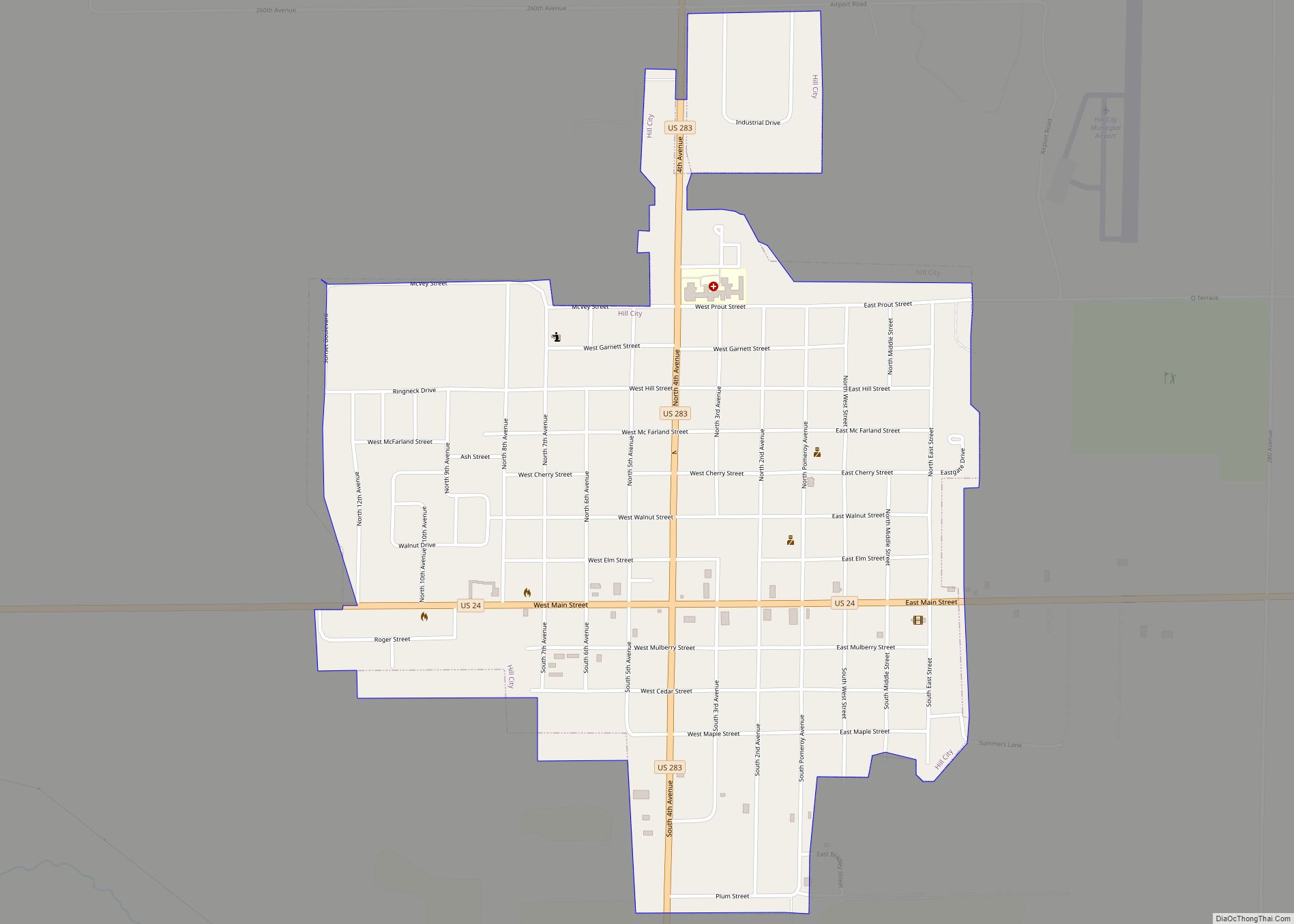
| Seat: | Hill City |
| Largest city: | Hill City |
| Total Area: | 899 sq mi (2,330 km²) |
| Land Area: | 899 sq mi (2,330 km²) |
| Total Population: | 2,415 |
| Population Density: | 2.7/sq mi (1.0/km²) |
| Time zone: | UTC−6 (Central) |
| Summer Time Zone (DST): | UTC−5 (CDT) |
| Website: | grahamcountyks.com |
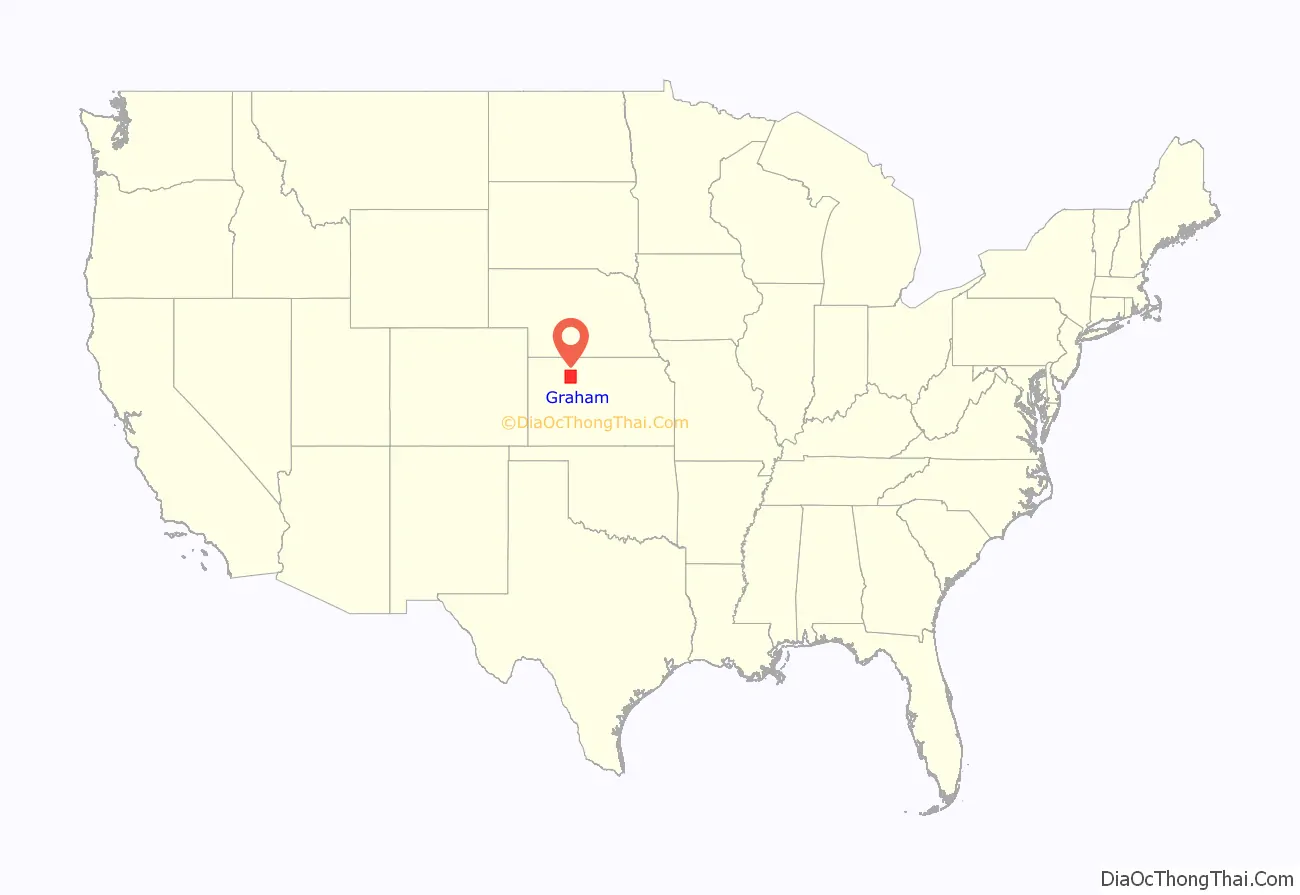
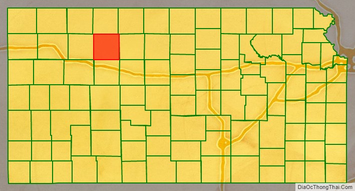
Graham County location map. Where is Graham County?
History
Early history
For many millennia, the Great Plains of North America was inhabited by nomadic Native Americans. From the 16th century to 18th century, the Kingdom of France claimed ownership of large parts of North America. In 1762, after the French and Indian War, France secretly ceded New France to Spain, per the Treaty of Fontainebleau.
19th century
In 1802, Spain returned most of the land to France, but keeping title to about 7,500 square miles. In 1803, most of the land for modern day Kansas was acquired by the United States from France as part of the 828,000 square mile Louisiana Purchase for 2.83 cents per acre.
In 1854, the Kansas Territory was organized, then in 1861 Kansas became the 34th U.S. state. Graham County was organized in 1880. In 1887, Graham County was established and named for Captain John L. Graham, a Union soldier killed in action at the Battle of Chickamauga in Tennessee on September 19, 1863.
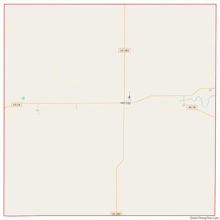
Graham County Road Map
Geography
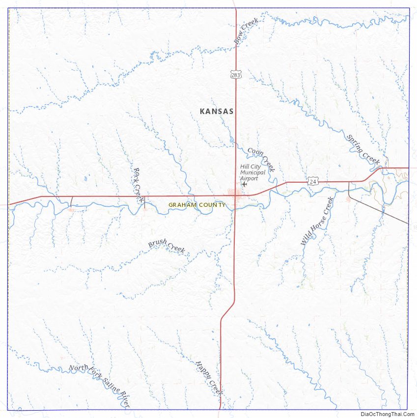
According to the U.S. Census Bureau, the county has a total area of 899 square miles (2,330 km), of which 899 square miles (2,330 km) is land and 0.2 square miles (0.52 km) (0.03%) is water.
Graham County roughly contains 3600 quarter sections, and is the fourth county east of Colorado line and the second county south of the Nebraska line. The 100th meridian west passes nearly through its center. The average elevation in the county is 2,700 feet (820 m) above sea level. It is intersected by the south fork of Solomon River, and drained by Saline River.
Adjacent counties
- Norton County (north)
- Phillips County (northeast)
- Rooks County (east)
- Ellis County (southeast)
- Trego County (south)
- Gove County (southwest)
- Sheridan County (west)
- Decatur County (northwest)
National protected area
- Nicodemus National Historic Site
Graham County Topographic Map
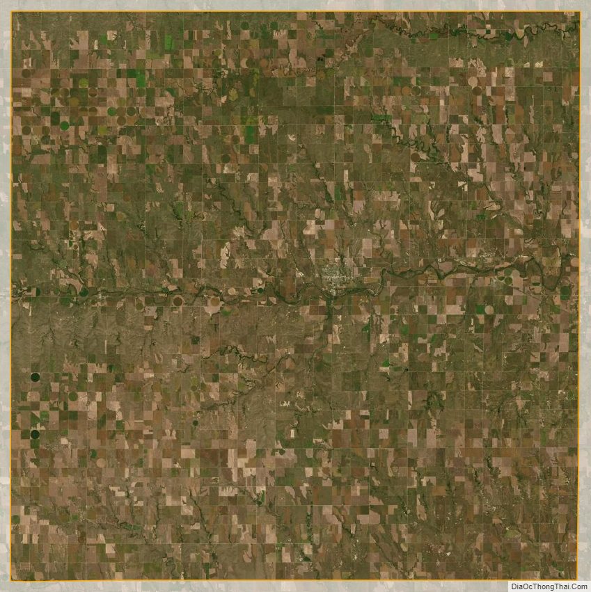
Graham County Satellite Map
Graham County Outline Map