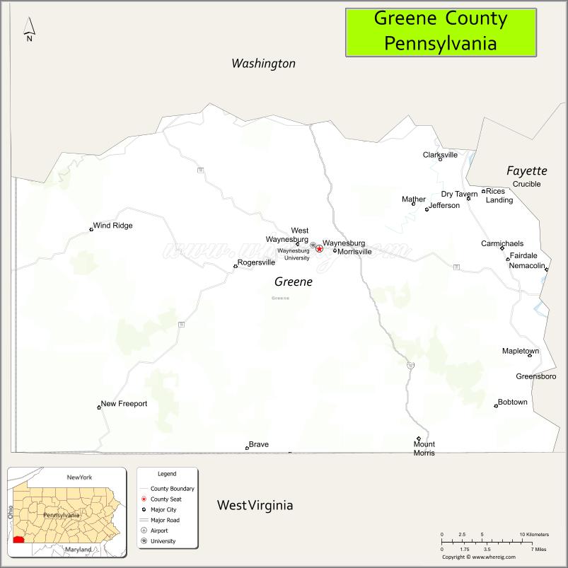
Greene County is a county in the Commonwealth of Pennsylvania. As of the 2020 census, the population was 35,954. Its county seat is Waynesburg. Greene County was created on February 9, 1796, from part of Washington County and named for General Nathanael Greene.
Greene County is part of the Pittsburgh media market. It is in the area of southwestern Pennsylvania that was claimed by Virginia, the District of West Augusta.
| Name: | Greene County |
|---|---|
| FIPS code: | 42-059 |
| State: | Pennsylvania |
| Founded: | February 9, 1796 |
| Named for: | Nathanael Greene |
| Seat: | Waynesburg |
| Total Area: | 578 sq mi (1,500 km²) |
| Land Area: | 576 sq mi (1,490 km²) |
| Total Population: | 35,954 |
| Population Density: | 62/sq mi (24/km²) |
| Time zone: | UTC−5 (Eastern) |
| Summer Time Zone (DST): | UTC−4 (EDT) |
| Website: | www.co.greene.pa.us |
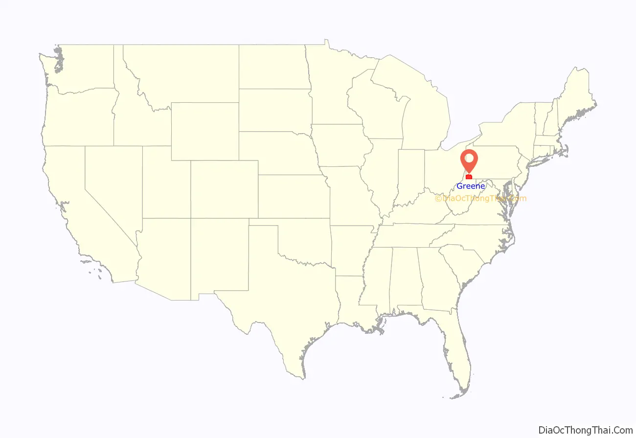
Greene County location map. Where is Greene County?

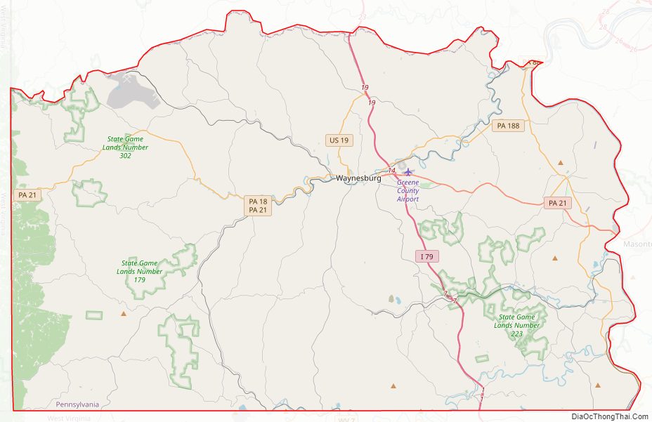
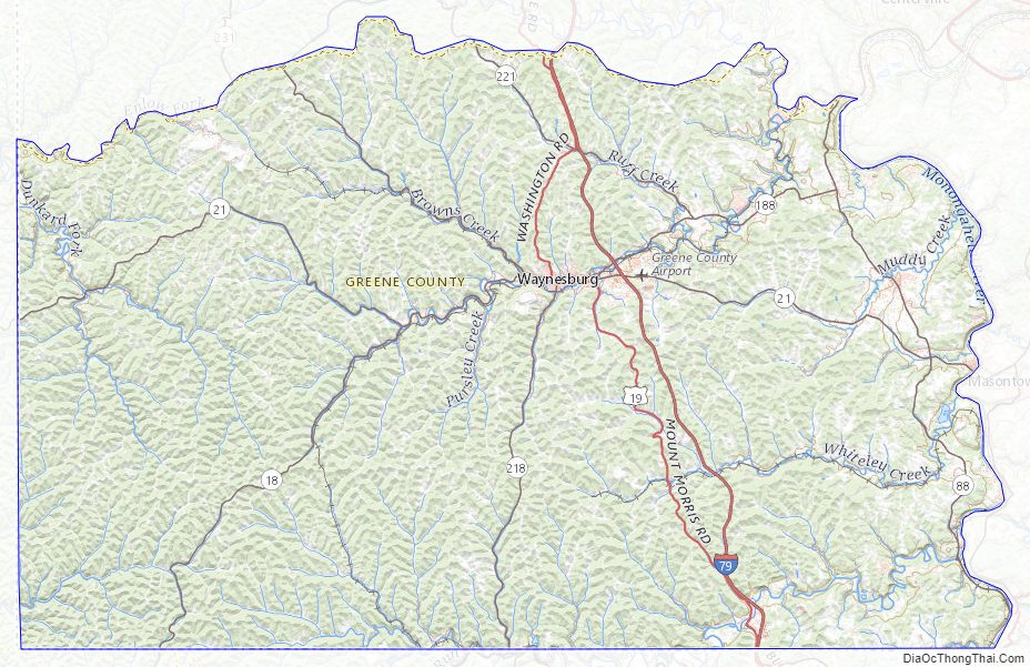
Greene County Road Map
Geography
According to the U.S. Census Bureau, the county has a total area of 578 square miles (1,500 km), of which 576 square miles (1,490 km) is land and 2.0 square miles (5.2 km) (0.4%) is water. It has a humid continental climate (Dfa/Dfb) and average monthly temperatures in Waynesburg range from 28.9 °F in January to 71.9 °F in July. [1]
Adjacent counties
- Washington County (north)
- Fayette County (east)
- Monongalia County, West Virginia (south)
- Wetzel County, West Virginia (southwest)
- Marshall County, West Virginia (west)
Greene County Topographic Map
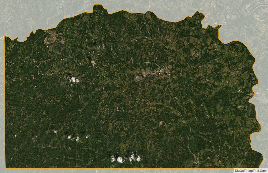
Greene County Satellite Map
Greene County Outline Map