Washington County is a county in the Commonwealth of Pennsylvania. As of the 2020 census, the population was 209,349. Its county seat is Washington.
Washington County is part of the Pittsburgh, PA Metropolitan Statistical Area.
The county is home to Washington County Airport, three miles (5 km) southwest of Washington.
| Name: | Washington County |
|---|---|
| FIPS code: | 42-125 |
| State: | Pennsylvania |
| Founded: | March 28, 1781 |
| Named for: | George Washington |
| Seat: | Washington |
| Largest city: | Peters Township, Washington County |
| Total Area: | 861 sq mi (2,230 km²) |
| Land Area: | 857 sq mi (2,220 km²) |
| Total Population: | 209,349 |
| Population Density: | 244/sq mi (94/km²) |
| Time zone: | UTC−5 (Eastern) |
| Summer Time Zone (DST): | UTC−4 (EDT) |
| Website: | www.co.washington.pa.us |
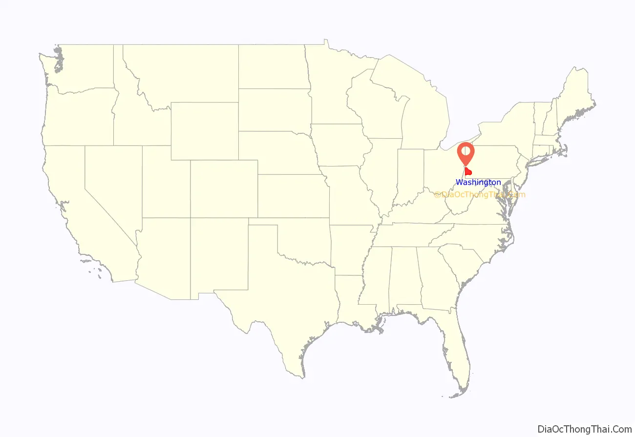
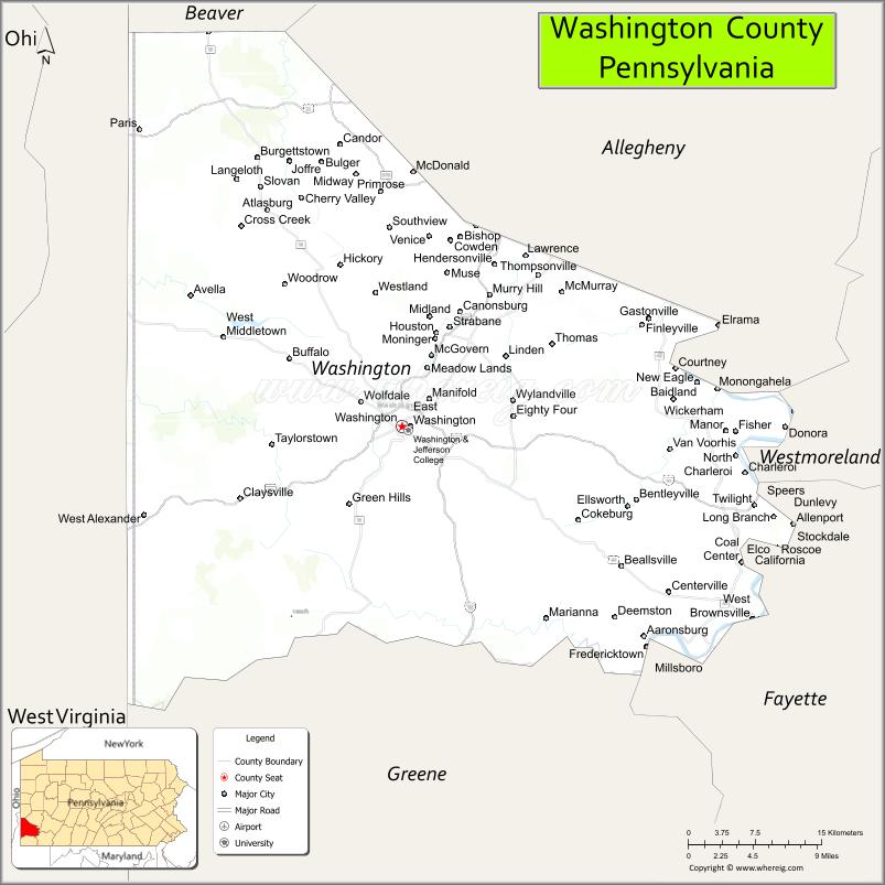
Washington County location map. Where is Washington County?
History
The county was created on March 28, 1781, from part of Westmoreland County. The city and county were both named after American Revolutionary War leader George Washington, who eventually became the first President of the United States. The town of Charleroi got its name from the Belgian city of Charleroi. There lived many Belgian immigrants in the Monongahela area at the end of the 19th century, some of whom were glass makers.
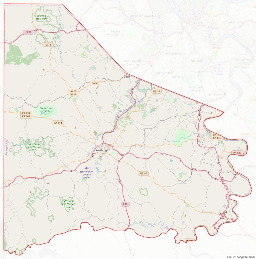
Washington County Road Map
Geography
According to the U.S. Census Bureau, the county has a total area of 861 square miles (2,230 km), of which 857 square miles (2,220 km) is land and 3.9 square miles (10 km) (0.5%) is water.
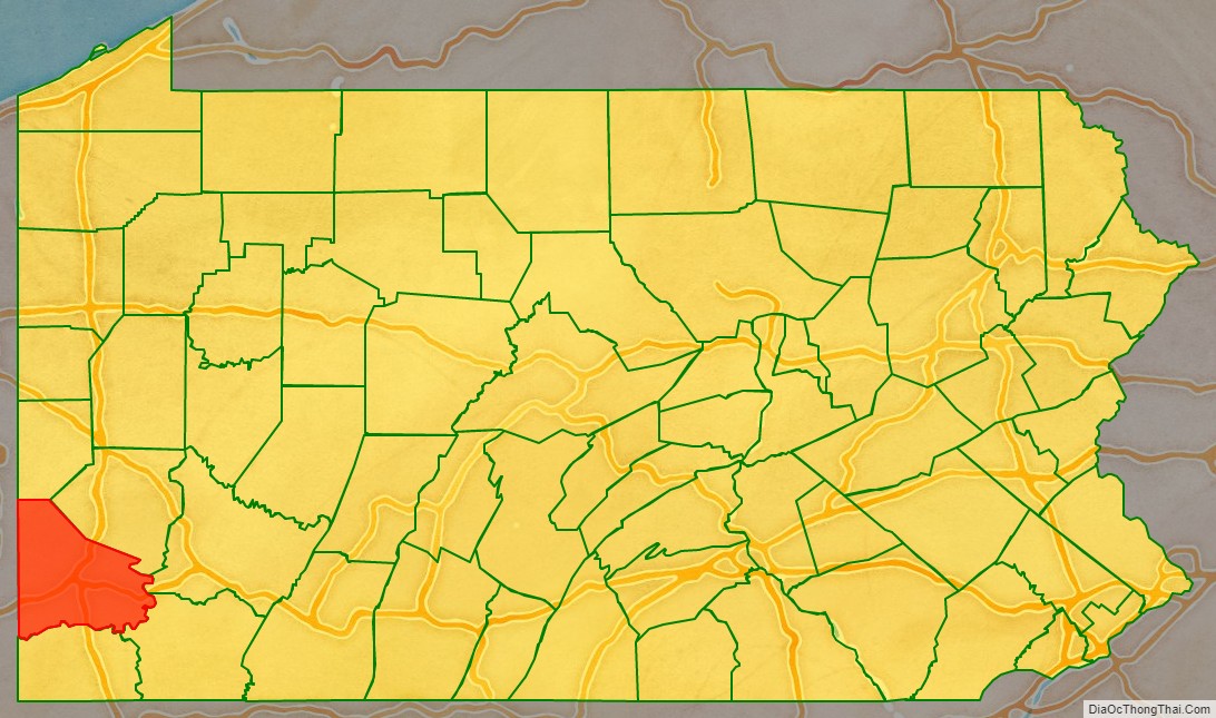
Surrounding counties
- Beaver County (north)
- Allegheny County (NNE-northeast)
- Westmoreland County (East-northeast)
- Fayette County (East-southeast)
- Greene County (south)
- Marshall County, West Virginia (southwest)
- Ohio County, West Virginia (west)
- Brooke County, West Virginia (west)
- Hancock County, West Virginia (northwest)
Major highways
- I-70
- I-79
- US 19
- US 22
- US 40
- PA 18
- PA Turnpike 43
- PA 50
- PA 88
- PA 88 Truck
- PA 136
- PA 221
- PA 231
- PA 331
- PA 481
- PA 519
- PA Turnpike 576
- PA 837
- PA 844
- PA 917
- PA 980
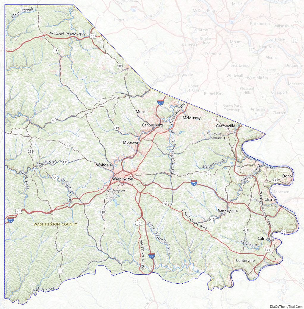
Washington County Topographic Map
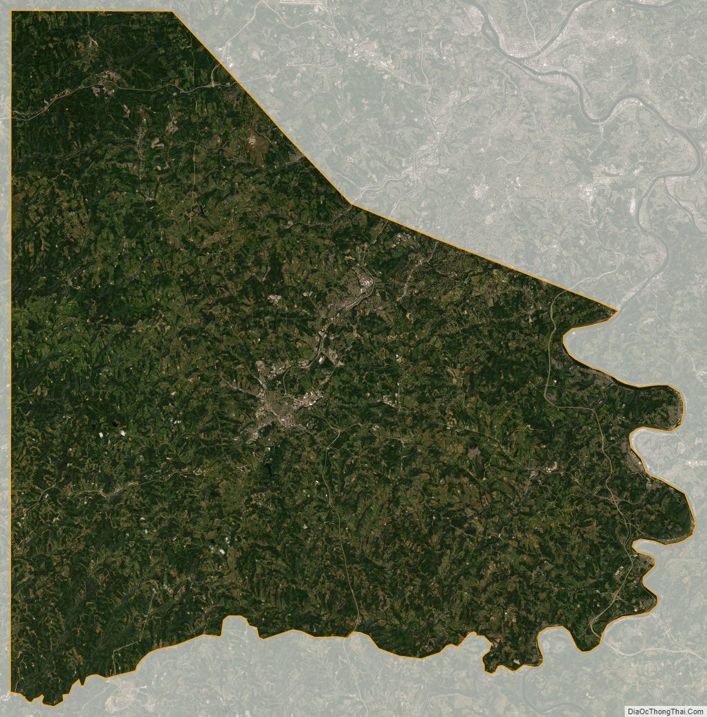
Washington County Satellite Map
Washington County Outline Map